Posts Tagged ‘history’

Tucked into a space between City Hall and the Court House, is a construction site.  Up until recently it was a parking lot.  Soon it will be a new Court House.  Like all construction sites in Toronto, it is surrounded by hoardings to separate it from the streets and sidewalks.
a yellow digger, not working at the moment, sits in a vacant lot, slightly snow covered, the back of Toronto City Hall is in the background.

On two sides of the lot, the hoardings have been covered with a mural that was commissioned by Infrastructure Ontario.  It is “Picturing the Ward”and it is an exhibit about the area that once existed here, The Ward.  It was an area where many immigrants first settled.  It was roughly in the rectangle formed by College St., Yonge St., Queen St., and University Ave.   In the 1830’s it was home to Blacks escaping slavery, it saw waves of Irish, Eastern European Jews, Italians, and Chinese to name a few.

On the west side (along Centre Avenue), there are old photos, newspaper clippings, and stories of individuals who once lived in the area.   The content was collected and curated by the Toronto Ward Museum, a new ‘museum without walls’  in the city.   PATCH (part of The STEPS Initiative) designed and installed the mural.  The stories are in both English and French.

below: A segment of the mural with a story titled “Hungering for Success”.   It is the story of Edward and Donna Pasquale nee Bernardo.  Both were born in Italy and both were brought to the Ward by their parents.  They met here and married in 1918.  Edward and his brother Pamphilo founded Pasquale Brothers store on Elm Street.   During WW2 Pamphilo spent three years imprisoned in an internment camp in Petawawa along with other Italian, German, and Japanese Canadians that the government considered enemies of the state.  Edward remained in Toronto running the store.

part of larger mural, small tree branch in front, tall office building behind, mural has old photos in blue tones as well as a lot of words about the history of the area

below: The newspaper story from ‘The Toronto Star’ of 3rd October 1907 describes the death of Mrs. Hazleton, a widow with two children, who was hit by a car at Yonge & Bloor.  The car was driven by Mr. F.E. Mutton.  Yes, back then the driver of the car was named in the newspaper.

old photos in blue tones on a mural, along with a picture of an old newspaper clipping describing an automobile accident at Yonge & Bloor in which someone died.

below: The middle section is a collage of cyanotypes (an old photographic process which results in blue pictures) produced by PA System (aka Alexa Hatanaka and Patrick Thompson) .  The images are of artifacts uncovered during the excavation of the area along with some heirlooms contributed by former Ward residents.  A couple of CBC people were braving the cold that day too!

part of mural on a snowy corner, photos in blue tones, a CBC cameraman and reporter are standing on the sidewalk in front of the mural

below: The south side of the hoardings are along Armoury Street.  This section is called, These Stories Are Not Unlike Your Stories. Old photographs of the area have been reproduced in shades of blue.  Orange ‘bubbles’ contain stories.  Most of the photographs are from the City of Toronto Archives although some come from private sources.

part of a larger mural in Toronto, blue photos, with words written in large capital letters, These Stories Are Not Unlike Your Stories

below: On one side, the pictures are printed in reverse and the accompanying words are in French.  The French stories are translations of the English ones.

part of larger mural, reprints in blue tones of historical photos from city archives of ould buildings from the part of the city called The Ward that was demolished in the 1950's to make way for new City Hall

below: The people who lived in The Ward were poor and their housing was sub-standard.  In 1911 a report by the city’s Department of Health described how bad the living conditions were for the people here.  Largely because of that report, demolition of the area started soon after to make space for office towers and government buildings.  I’m not sure how long parts of The Ward survived, but it was in the 1950’s that the original Chinatown along Elizabeth Street was demolished to make way for Nathan Phillips Square.

part of larger mural, reprints in blue tones of historical photos from city archives of ould buildings from the part of the city called The Ward that was demolished in the 1950's to make way for new City Hall

below: Some of the orange bubbles contain quotes from descendants of former residents of the area.  The bottom quote is: “My mom use to say, ‘We were all poor.  No one had anything.  It was normal.  Everyone was in the same position so we didn’t worry about it too much.'”  by Brian Banks, grandson of John & Mary Colestock, former residents.


part of larger mural, reprints in blue tones of historical photos from city archives of ould buildings from the part of the city called The Ward that was demolished in the 1950's to make way for new City Hall

below: There is still a lot of work to be done on the site!   The mural will be on view until at least October of next year. If you are interested in the details of the mural, more about the people featured, or the events described, then the best place to start looking is the section of the Toronto Ward Museum website that is devoted to this project.

two red diggers on top of a pile of dirt on a snow covered vacant lot, large multirise buildings in the background

You’ve probably never heard the word asafo before.  You probably have no idea what it means.

Until last week I didn’t know the word existed either.

I went to the Royal Ontario Museum to see the Wildlife Photographer of the Year exhibit.  There were 100 excellent pictures of insects, animals, marine life, the sort of thing you’d expect.  There was no photography allowed in that exhibit so I have no photos of the images on display.  You’ll have to take my word for it that I was there.

I can appreciate the skill and patience that it takes to capture rabbits in the snow or a school of fish in a certain light underwater but those kind of pictures don’t excite me.   That’s not to diminish the work of the photographers, it was all very high caliber both technically and visually.    What I think I’m trying to say is that I left the exhibit wanting more, something more from my visit to the ROM.

Luckily I didn’t have to look far.  In the next room was Art, Honour, and Ridicule: Asafo Flags from Southern Ghana.

museum exhibit of asafo flags from Ghana, colourful flags of militia groups in yellows, reds and black. Many are hanging in display cases.

Colour, lots of colour.  And a subject that I knew nothing about, asafo flags.  I wasn’t even sure what part of Africa Ghana is in (It’s on the south coast of Western Africa between Togo and the Ivory Coast as it turns out.).

The flags are hand made with an assortment of different motifs.  The British Jack in the upper left corner is a very common feature.  That’s a clue.  Yes, Ghana was a British colony.   Reading the history of Ghana is like reading the colonial history of large parts of Africa.  The Portuguese built a fortress at Elmina in 1482.    Interest in the region was piqued by the presence of gold, hence the name Gold Coast.   By the early 17th century the first African state,  Akwamu, controlled an extensive part of the coast.  They were displaced by the Ashanti who were very involved in the slave trade, especially in trading slaves for weapons.   When European countries outlawed trading in slaves in the early 1800’s,  Ashanti power suffers.   Some tussles ensue, a few battles, some back and forth, and by 1902 what was Ashanti becomes is a British colony.    It remained a colony until 1957.

close up of a flag, hand made, British Jack in the top left corner, a man walks in front of a church in the center, a black bear in the top right.

I’m not going to pretend to know or understand African history.  I’m only trying to give some context to the flags.    First, jump back to my mention of Elmina and the Portuguese. When the Portuguese arrived in this area in the 15th century, it was the Fante (or Fanti) people that they encountered.  Both the Fante and the Ashanti belong to the Akan people.  The Fante prevented them from venturing inland and leased properties for Portuguese trading missions. But when the Portuguese objected to Fante rules and regulations the Fante expelled them.  Soon after, the Dutch arrived.  The Fante served as middlemen in the commerce between the interior and Dutch traders on the coast.

Around 1724 the Dutch either established or made important a number of militia groups of local Fante.  These are the Asafo companies.  Historically, Asafo companies were in charge of the safety and protection of the local community.   At the height of the slave trade they protected individuals and communities.   They exerted power, exercise political influence and maintain codes of conduct within Fante communities. Each company has a flag and that flag has many roles.   They represent proverbs and depict narratives of pride and wisdom.  They accompany oral history and provide a means to preserve customs and traditions.

below:

  1. top flag, by Kweku Kakanu, Saltpond Workshop. “Only a brave man goes under a large tree” because only large animals go under large trees. Made sometime between 1950 and 1957.
  2. bottom flag, artist unknown, Kromantse Workshop. “Only tie a bull to a large tree”. Both the animal and the tree are acknowledged to be strong and mighty.  Made around 1980.  It has a Ghanese flag in the top left corner.


two flags displayed on a black background, with three femail mannequins dressed in traditional Ghanese costume.

below:

  1. top flag, by Kweku Kakanu, Saltpond Workshop. A crocodile dominates and controls a pond of fish. Made around 1940.  The prey can not escape.
  2. bottom flag, by Kwesi Budu, Saltpond Workshop. The fish cann’t escape the net of the fishermen just like enemies will not be able to escape when confronted by the company.  Made around 1950.

two flags displayed on a black background, with two male mannequins dressed in military Ghanese costume.

Fante asafo flags from Ghana, two on display in a museum, chickens and roosters,

Fante asafo flags from Ghana, two on display in a museum, griffons

two mannequins in military uniforms as part of a museum exhibit at ROM


Patricia Harris Gallery of Textiles and Costumes,
ROM, 4th floor,
until March 2017.


On Beatrice Street just south of College there is a small parking lot.  The walls of the buildings on the north and east sides have been painted with a large mural called ‘A Stroll by Garrison Creek’ .

below: On the east side of the parking lot is a painting that represents Emily Bickford and her two daughters, Beatrice and Grace.  The street that the parking lot is on was named for Beatrice Bickford.  The next street parallel to Beatrice is Grace, named for Grace Bickford.   You might recognize the name Bickford if you are familiar with the area – Bickford Park is just south of Christie Pits.  Emily Bickford was responsible for donating some of her family’s land to the city to be used for parkland.

mural on the side of a brick building. Large. Three woman walking through long grass and chasing butterflies. A Stroll along Garrison Creek. Representing Emily Bickford and her daughters Beatrice and Grace.

below: You may have spotted the words Spud Bomb in the picture below.  Also, you might recognize the shapes in the dress that she wears as being similar to shapes seen in a lot of street art in Toronto.  They are the work of Pascal Paquette.  Both Paquette and Spud1 collaborated on this mural along with artist Artchild.

part of a larger mural, a young woman with her back to the viewer, walking through long grass

below: A large chickadee dominates the mural on the north side of the parking lot.

large mural of a chickadee, flowers, and butterflies

This mural was a StreetARToronto (StART) project, with help from VIBE Arts and the Toronto Parking Authority.   It was completed a couple of months ago, September 2016.


a monarch butterfly in a mural along with many pink and purple flowers

part of a larger mural, geometric and abstract shapes in many colours.


Just over a year ago, I posted some pictures of the art work hanging on a fence along Craven Road.
Some of it is still there, especially some cat pictures like this one:

painting of a beige and light brown cat, lying with its head up and tail wrapped around its body, painted on a wooden fence outside

below: Quite a few little planters have been mounted on the wall.  Because it’s now cold November, most of the plants have died.   These are two exceptions.

4 small wood boxes have been mounted on the side of fence, as planters, a couple still have purple flowers even though it's November and most of the trees have lost their leaves,

below: Some of the things that are now on the fence.   Because there are no houses on the west side of the street, the fence can serve as a gallery wall.

decorated wooden fence on Craven Road, a road with houses only on one side of the street, fence is decorated with a faded Canadian flag, a picture of Queen Elizabeth I, some wood planters, a painting of birch trees in autumn, old shoes, and a sign that says Craven road FEnce, 100 years, 1916 to 2016

below: A close up picture of the “Celebrating 100 years” sign as well as the picture of Queen Elizabeth I, engraved by Crispin van de Passe the Elder, after a drawing by Isaac Oliver.

closer view of the fence with its Celebrating 100 years, Craven Road fence, 1916 to 2016 sign as well as an engraving of Queen Elizabeth I. Planters with dead plants and painted pine cones on sticks, painted red, silver and gold.

below: Andy Warhol’s Marilyn Munroe beside many shoes in twos, knee pads and a walking cast.

a wooden fence with many things hanging on it - an Andy Warhol Marilyn Munroe print, a painting of autumn birch trees, and many old shoes

below: Mirror, mirror on the wall…  Bird pictures to the left and trees and sticks to the right.
Scattered among them are a few glow in the dark stars.

An oval mirror with an ornate wood frame is mounted on an outdoor fence, wood, three small framed pictures hang on both sides of it.

below: Artfully arrange artifacts… mask, hockey stick, dog pictures, toy helicopter….

all kin mounted artfully on a wood fence on Craven Road - hockey stick, football, picture of Charlie Chaplin, ds of things

below:  A woman with three wolves, a young boy and dragonflies listening to your heart.

old black and white photo of a boy, a small statuette of a woman and three wolves, dragonflies on a picture frame with a photo of the word love

below: A composition of found items.  A still life made of remnants of the past.

things on a fence as decoration, guitar, pictures, clock, boxes,

below: And lastly, a couple of pictures of some of the original paintings.

two painting on a fence. One is of a cat and the other is of white flowers

a painting of a line of white sheep on a snowy field, on a fence, outdoors, with houses and backyards beyond the fence, some trees too but they have lost their leaves because it is late autumn

On this day, the 16th of November, in 1885, Louis Riel was hanged in Regina, the capital of the Northwest Territories at the time and the headquarters of the North West Mounted Police.

During that year, Riel led Métis people in the Northwest Resistance (or Northwest Rebellion depending on which side you were on), which was a stand against the Government of Canada because it was encroaching on Metis rights way-of-life.  The Métis were defeated at the siege of Batoche and the Canadian government captured Riel. He was eventually put on trial where he was convicted of treason and executed. As a result, Métis people across Canada were labeled as traitors and for generations many felt the need to hide their Métis culture and heritage.

Riel had previously led the Métis in the Red River Rebellion of 1869-1870.  In 1869 Canada bought Ruperts Land from the Hudsons Bay Company (Ruperts Land covered most of what is now western Canada).   The end result of this rebellion was the formation of the province of Manitoba under the Manitoba Act of 1870.  The Act included some of Riel’s demands such as separate French schools for Métis children and protection of the Roman Catholic religion.   Manitoba was a small piece of what was once Ruperts Land.  A little province surrounded by a large Northwest Territory.   History is often difficult to condense into a couple of paragraphs but there is a lot of information about Riel and the history of western Canada on the internet if you are interested in learning more.

Now, the 16th of November is Louis Riel Day, a day to look to the past and remember what Riel stood for.  It is also a day to look at the present and to recognize the many contributions of the Métis to Canada and to highlight the continuing struggles that Métis continue to face.

below: The Metis flag is raised in front of the parliament building at Queen’s Park. The flag features a large white infinity symbol and the background can be blue or red. The infinity symbol can be seen as a representation of the faith that the Métis culture shall live on forever and/or the joining of two cultures to form one.

raising a blue Metis flag in front of Queens Park

below: After the raising of the flag, the colour party leads the procession through Queen’s Park .

colour party of 6 men carrying flags lead a procession through the park in front of the parliament buildings at Queens Park, autumn and most of the leaves are off the trees.

below: People congregated at the Northwest Rebellion Monument.  This monument honours the 43 men who fell on the battlefields in 1885.  There is no reference to the Métis defenders who also died during the resistance or the Métis desire to negotiate. It reflects the widespread belief that the Métis were traitors, an idea that was prevalent at the time the statue was commissioned.   It was unveiled in 1895; the figure of Peace on the top of the monument was sculpted by Walter Allward.   Since its inception in 1993 the Metis Nation of Ontario has used this monument as the focal point for its Louis Riel Day ceremony.

statue, memorial to those who died in the Northwest Rebellion of 1885, to the soldiers on the winning side, at Queens Park, with people around it, a flag with picture of Louis Riel is planted beside the monument,

below: The base of the Northwest Rebellion memorial is decorated with a picture of Louis Riel along with Metis flags, Metis sashes, a Hudson Bay blanket and a violin.

base of monument with picture of Louis Riel, a violin and a Hudsons Bay blanket on it.

below: Senator Verna Porter-Brunelle opened the ceremony at the base of the memorial to the Northwest Rebellion.  Other government speakers included the Speaker of the Legislative Assembly of Ontario, Dave Levac as well as the Minister of Indigenous Relations and Reconciliation, David Zimmer.
a woman in a pink jacket stands behind a podium draped with the Metis flag, speaking to a group of people outdoors at QUeens Park on Louis Riel day.

#LouisRielDay

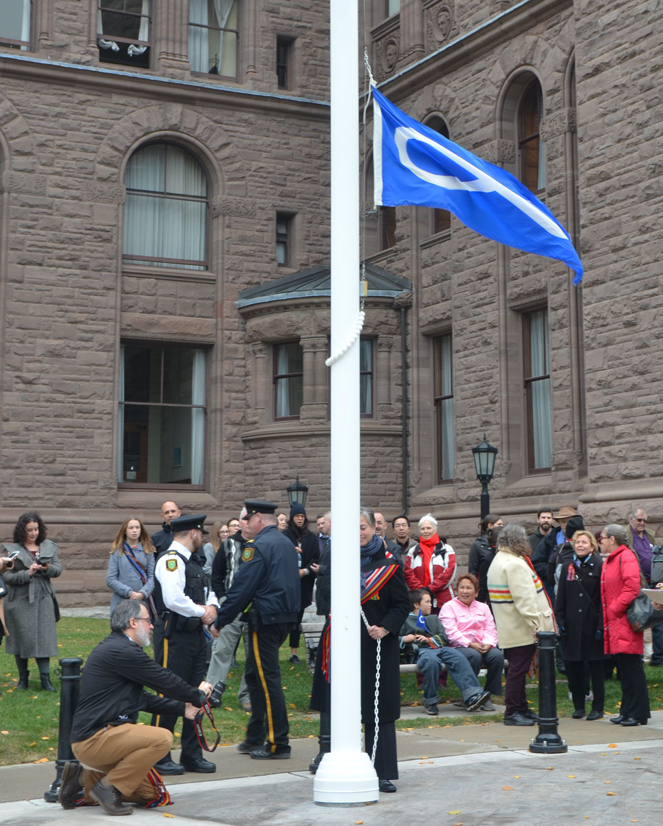
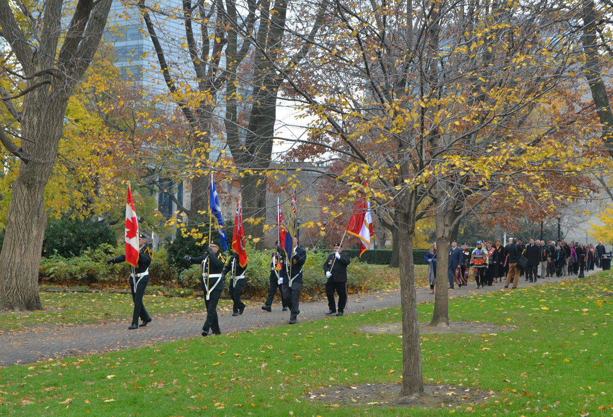
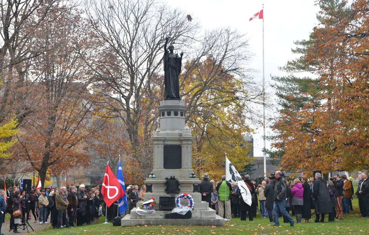
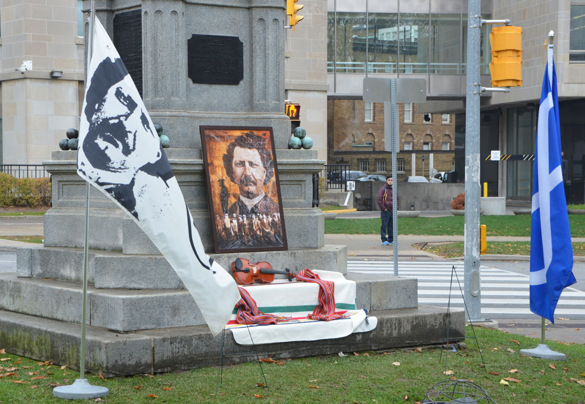
This is another meandering blog post… a post about being out and about on yet another wonderful autumn day, going wherever my feet and eyes take me.

below: The first picture of my day was this intriguing wall made of old wooden doors.  Bathurst Street.

a tall narrow wall about three storeys high made of old white doors.

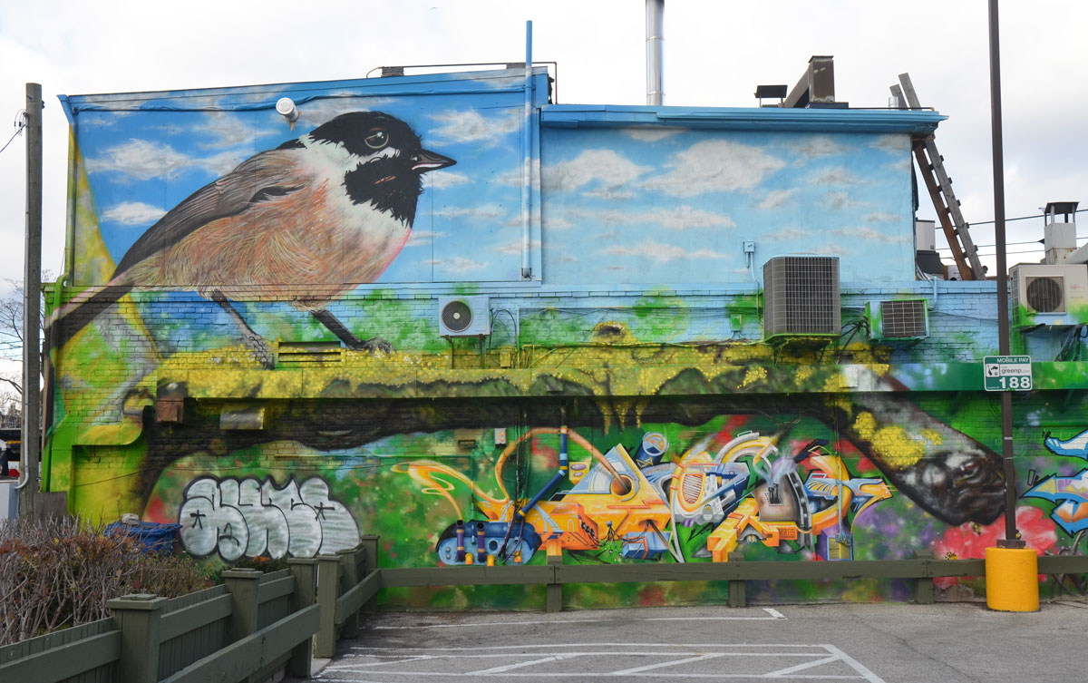
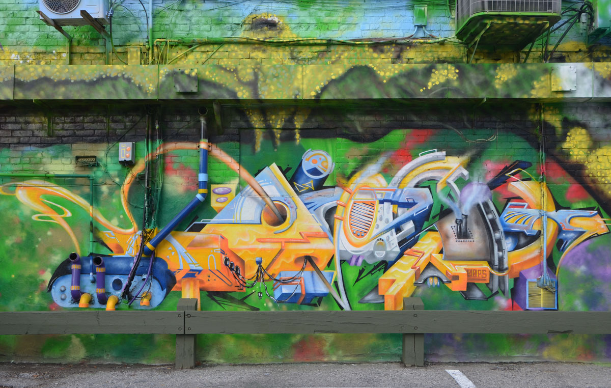
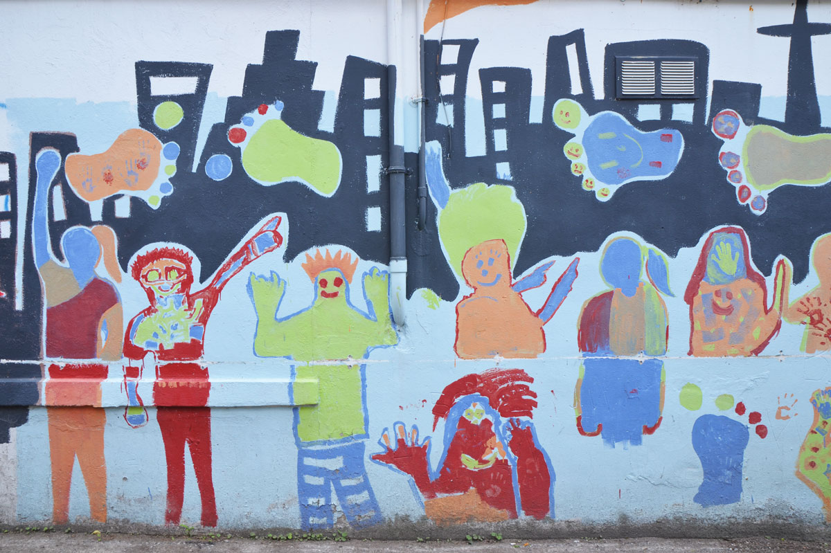
below: A small elicser mural tucked away at the end of a parking lot.   The man has his back to the viewer but I can’t figure out what’s behind him or what he might be doing.

small mural on a fence, a man's head is back to the viewer

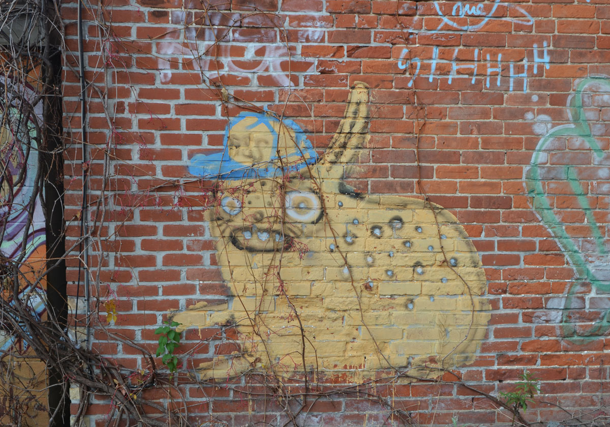
below: The leaves have fallen off the vines to reveal a yellowish creature with his baseball cap askew.

graffiti painting of a yellow animal like creature wearing a blue and yellow baseball cap. The creature is yellow. On a red brick wall, with spots on its back

below: Toronto’s tallest icon framed by a construction crane.

CN Tower in the distance, condo construction in the foreground, with a red crane

below: And on a similar note, a vacant lot cleared and ready for the next stage of its life.

a box beside a fence that has been scrawled over with blue spray paint. Behind it is a fence around a vacant empty lot. There are some small trees growing in front of the fence.

below: No more cranes here (and not many vacant lots either for that matter).  A view showing how much development there has been on the south side of the railway tracks.   Fort York is between the tracks and the condo towers.

a VIA Rail train passes by on one set of many tracks, in the background is Fort York and then a series of new condo buildings.

below: And what’s this? An old blue canoe beached on the tracks?

looking at the scene from a above, a blue canoe has been used to plant plants in. It lies across an old railway track, a chainlink fence separates the canoe from the main railway tracks that still function.

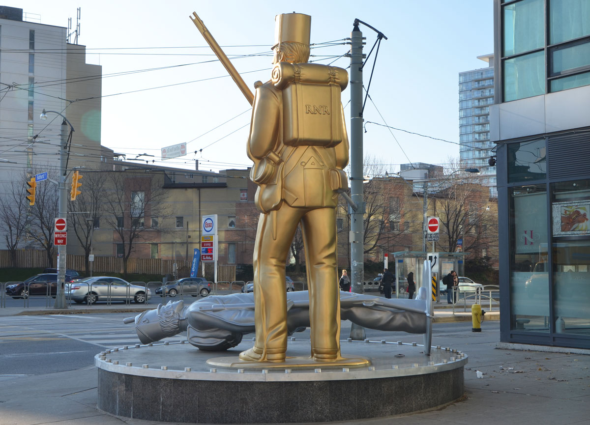
below: Standing guard over Bathurst Street, Fleet street and the Lakeshore, is one larger than life gold replica of a Royal Newfoundland Regiment and his fallen silver American foe. A sculpture by Douglas Copeland entitled “A Monument to the War of 1812”, a nod to nearby Fort York and the history of Toronto.

Douglas Copeland's sculpture of two tin soldiers, a gold one standing with backpack on and rifle in hand, and a silver one lying on its back on the ground, uniforms circa War of 1812, seen from the back, figures are much large than life sized and they are on a corner at an intersection, Bathurst St. and Fleet St.

below: My favorite example of bad grammar still exists!  Off-leash dog area at Coronation Park.

a wood fence around a dog park, in autumn with lots of leaves on the ground, on the fence is a white sign with black letters re the Toronto municipal code 608,

A beautiful day in the park.  A slight November nip was in the air but it was sunny and the sky was a brilliant shade of blue.  Coronation Park is named in honour of the coronation of King George VI who was crowned on 12 May 1937.  At that time nearly 150 trees were planted here.

Apparently, an oak tree was planted to honour the king.  Surrounding it, a ring of silver maples was planted.  This was to symbolize the countries of the British Empire.  I wish I had known that bit of trivia before I walked through the park because now I am curious if these trees are still there.   Some of the trees are quite substantial.

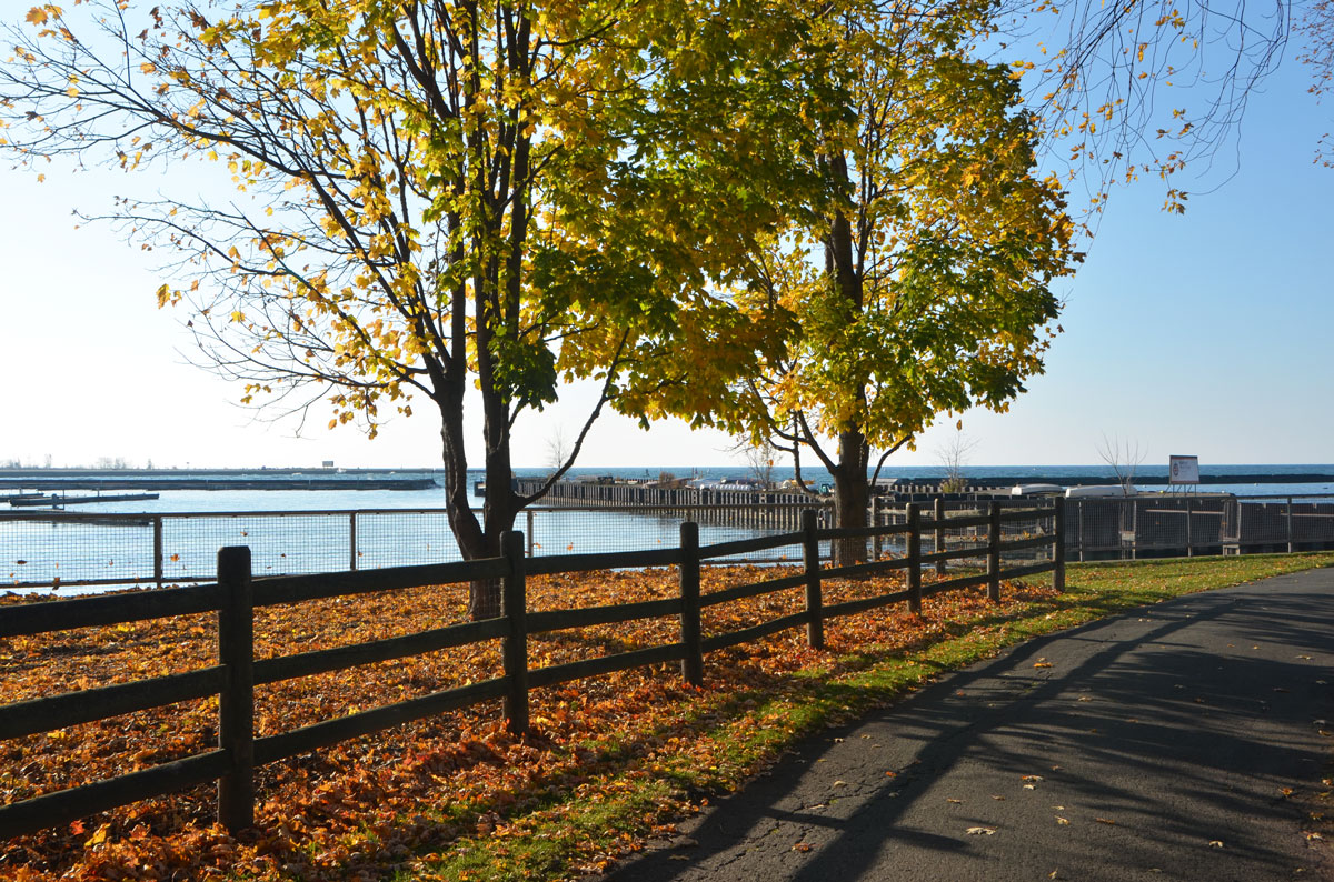
below: Long shadows for the morning sun, low in the sky.

morning in the park, autumn, trees with some leaves still on, many leaves on the ground, wood railing fence, shadows, Lake Ontario, path, Coronation Park.

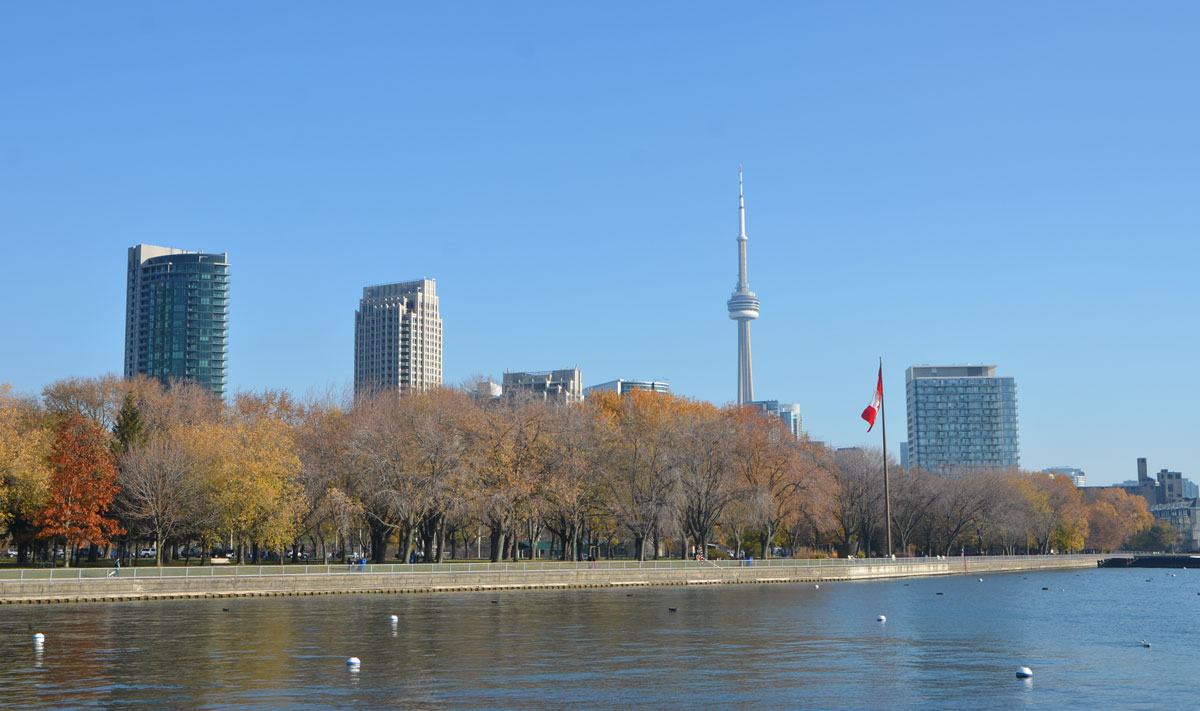
below: Looking back towards the city center, past the empty docks of the National Yacht Club to the residences on Stadium Road.   A small group of people were making a video in the dog park.

morning in the park, autumn, trees with some leaves still on, many leaves on the ground, wood railing fence, shadows, Lake Ontario, path, Coronation Park. a small group of people in the distance are filming a video

below: This Victory Peace Monument was unveiled on 14 November 1995 to commemorate the 50th anniversary of the end of World War 2 and honour those who died in that war.   It was designed by John McEwen; the bronze pieces resemble the bow of a ship.

Metal partial cylindrical shapes on a concrete circular monument. World War 2 memorial

below: On the inside of one of the bronze pieces is a map of eastern Canada and the Atlantic Ocean.  Each boat on the map represents a ship or U-boat that was sunk during the war.  The Canadian ships are located on the map at “their last known position”.  I hadn’t realized that so many ships were lost so close to North America.

relief map of eastern Canada and the Atlantic Ocean, in bronze on a WW2 memorial. Little ships are shown on the ocean where they were sunk during WW2.

Trees were also planted to represent the four divisions of the Canadian Expeditionary Force (WW1) and its units as well as those who fought in the Fenian Raids of 1866-1870, the Northwest Rebellion of 1885, and the Boer War (1899-1902).  Once upon a time, brass plaques were placed at the foot of each tree to indicate the units the tree stood for.  If any plaques remain, I didn’t see them.

below: Another memorial is close by, a  “Memorial to Lieut. Tommy Hobbs gallant British Canadian soldier in the Great War 1914 – 1918.  Died on active service November 10, 1940.  Beloved and remembered by his comrades.”   Tommy Hobbs was involved in the creation of this park.

a memorial in a park made of a small pile of rocks. The top rock is inscribed, memorial to Tommy Hobbs, died 1940, in Coronation Park

below: A little farther on I noticed another rock, one that was painted red.   The bronze plaque on the rock says that 20 trees have been planted here in commemoration of the G20 Summit held in Toronto in 2010.

a large rock with a bronze plaque on it. The rock has been crudely painted red

below:  A 30 foot tall Inukshuk stands looking out over Lake Ontario.  Approximately 50 tonnes of mountain rose granite was used to create the Inukshuk, which was made by Inuit artist Kellypalik Qimirpik from Cape Dorset, Nunavut.

a tall stone inuksuk on a raised mound of warth

below: Streetcars across the baseball outfield.

Looking across the outfield of a baseball diamond towards a street. A line of mature trees by the street with two red and white TTC streetcars on the street, condo towers behind.

below: A closer look at that brown octagonal structure in the middle of the streetcar loop for the 509 and 511 cars.  Apparently it’s the Queens Wharf lighthouse, one of a pair built in 1861.

a brown structure, the Queens WHarf Lighthouse, sits on a patch of grass beside TTC streetcar tracks in front of a new condo.

The lighthouses marked the entrance to the Toronto Harbour from 1861 until the Western Channel was built in the early 1900’s.   This one stood on Queen’s Wharf which used to be at the foot of Bathurst Street, adjoining Fort York.  The wharf was built by the military; in 1833 it was a pier 42 feet long.    The pier no longer exists; a hundred years ago it was buried under what is now Bathurst Quay.

below:  A picture of an historical map (1886 or 1887) of the area showing Toronto Harbour, Fort York and the railway lands.  Queen’s Wharf is the pier on the left.   At that time, Front Street was the southern most street in this part of the city.   All the present day development south of the train tracks is on reclaimed land.

picture of historical map of part of Toronto Harbour from 1886, showing Fort York, Front St., and Bathurst St., and the railway lands and wharves into Lake Ontario,

below:   Taken from google maps, what the layout of the city looks like now.   As you can see, there have been many changes!

present day map taken from google maps of Coronation Park and Bathurst Quay including Fort York

Lake Ontario in the foreground, trees in Coronation Park in the middle and Toronto skyline in the distance with the CN Tower and a large Canadian flag.
a sticker of a rainbow in a heart shape. A small purple heart is in the center, then a blue heart is drawn around it, moving outwards in rainbow colours.

A beautiful Thanksgiving day, sunshine and autumn temperatures – what better time to get outside and enjoy a walk with friends?  Today’s walk included the Beltline from Mt Pleasant cemetery to the Allan Expressway.  Along the way we saw a couple of murals so I stopped to take a few pictures. These murals were under the bridge over the Beltline at Eglinton West.   Both were part of the StART (StreetARToronto) program and were painted in 2013 by artists Viviana Astudillo and Logan Miller.

below: On one side of the underpass are scenes from the days when a railway ran along the Beltline.

part of a mural under a bridge on the Beltline path, by StART, in brown tones of the hhistory of the railroad in the area (scenes from), an older man in a brown cap

part of a mural under a bridge on the Beltline path, by StART, in brown tones of the hhistory of the railroad in the area (scenes from), a large locomotive with a man standing by the front of it.

part of a mural under a bridge on the Beltline path, by StART, in brown tones of the hhistory of the railroad in the area (scenes from), kids in different coloured caps playing beside a train

part of a mural under a bridge on the Beltline path, by StART, in brown tones of the hhistory of the railroad in the area (scenes from) a young man in a brown cap

below: The mural on the other side of the underpass depicts scenes of the modern day path including hawks, people, joggers, cyclists, walkers and dogs.

part of a mural under a bridge on the Beltline path, by StART, two hawks on the ground.

part of a mural under a bridge on the Beltline path, by StART, people walking on a path through the woods including a jogger, a woman walking a dog, and a cyclist.

part of a mural under a bridge on the Beltline path, by StART, of nature scenes, a large dog is sitting beside a tree

below: Someone has left there mark here too.

blog_scribble_face

This post is about community involvement and the murals that result.  They aren’t great art and they weren’t meant to be.  They are about the stories we tell about ourselves and our communities.  They brighten our public spaces and enrich our neighbourhoods.

The first is a series of murals painted by Gledhill Public School students. There are murals by the graduating classes of 2008, 2009, 2010 and 2011 in a lane near the school.

Part of a mural in an alley painted by students from Gledhill Public school, graduating class of 2008, black silhouettes under tree branches, hand prints too

Part of a mural in an alley painted by students from Gledhill Public school, graduating class of 2009, black silhouette of the Toronto skyline with big colourful footprints, some roughly drawn people too , an airplane flies overhead

Part of a mural in an alley painted by students from Gledhill Public school, graduating class of 2009, black silhouette of the Toronto skyline with big colourful footprints, some roughly drawn people too

Part of a mural in an alley painted by students from Gledhill Public school, graduating class of 2010. A blue semi-circle

Part of a mural in an alley painted by students from Gledhill Public school, graduating class of 2011. 2011 in large numbers across the bottom with grey silhouettes of people, brightly coloured squares with faces across the top

Part of a mural in an alley painted by students from Gledhill Public school, graduating class of 2011. 2011 in large numbers across the bottom with grey silhouettes of people, brightly coloured squares with faces across the top

Just to the east, Woodbine subway station is undergoing much needed renovations and expansion.  Some of the hoardings around the construction site have been covered with three murals.   They were painted by:  Haley G., Sasha K.S., Francis H., Melika W., Tristan C., Savannah P., Adrina P. and Anna-Lisa A as well as Jim Bravo and Andrenne Finnikin as part of the ‘City on the Move, Young Artists in Transit’ mural project.

Looking across a street to a construction site around which a fence has been erected. There are three murals painted on the hoardings.

The first mural is a juxtaposition of past and present, people playing beside the creek. The creek, trees, and birds are all the same.  There is now a city in the distance and clothing we wear has changed, but we still enjoy the outdoors like our ancestors did.

1910 to 2013, mural of past and present along the creek. Kids playing on either side, the past on the left, the present on the right, bird watching, standing in the grass,

Above ground, a fair, an amusement on a summer day.   Below ground, the subway is being built.

mural depicting people at a fair. A child is licking a giant round lollipop, a girl is holding a doll, a ferris wheel is in the background.

And last, woodpeckers in the trees as well as a poem by George Elliott Clarke who was the Poet Laureate of Toronto 2012-15.  It describes the murals and is transcribed below.

mural painted on TTC construction hoardings, trees and birch trees with no leaves on them, with a couple of woodpeckers

The poem on the last mural:

Seeing Beauty, at Woodbine
 
Citizens, let’s pasture ourselves in parks
And gardens, so skyscrapers mingle with trees,
And we recover Native faith, Settler
Hope, to savour birds’ trills and swoops, fording
Creek and times past, to touch us, where we stand.
 
Once was pleasure in a street fair – ice cream
And lollipop, but also in strolling
Or rolling down to work, shirt-sleeves rolled up,
Dawn light unfolding, That’s what’s visible.
(Underground, a steel vein branches, roots, and throbs.)
 
Torrential leaves stacked up towers, now fallen,
Last Fall, Birds tap into the standing logs
Winter planted.  Spring rain well refreshes
The city.  Now, young artists tap dreams –
Drafting Beauty – to which all say, “Bravo!”
 
by George Elliott Clarke

A sweet post.

This is what 37,000 tons of raw sugar looks like.
The Raw Sugar Shed at Redpath Sugar is 27m high,  155m long, and 43 m wide.  It’s a big space!

a man is leaning on a temporary metal barricade in front of a very large pile of raw sugar in a large warehouse.

Raw sugar is brought to the Redpath Sugar facility by ship.  When it is off-loaded from the ship it is brought into the warehouse by conveyor belts that run down the middle of the ceiling.

below: There isn’t a ship in the harbour at the moment so the green crane waits.

a little girl in the foreground, standing beside a squared opening in the harbour for ships to come in, beside the Redpath Sugar refinery building on the waterfront with its green cranes and greenish blue building

below:  You can see a holes in the foreground of the next photo.  This is one of many holes in the floor of the Raw Sugar Shed.  The raw sugar is pushed through these holes to another series of conveyor belts below.

a large yellow front end loaded is parked inside a warehouse. A large pile of raw sugar is in the background.

three warning signs on the outside of a door of the Redpath Sugar shed, a warehouse for storing raw sugar. One says "Beware of Heavy Equipment", the second says "Sound horn before entering" and the third says "Canadian Government Customs Bonded Warehouse no. 60"

below: Photo taken from the entrance to the Raw Sugar Shed, taken at Doors Open.  Raw sugar is taken by conveyor belt (upper far right) to the processing plant next door.

sugar processing area of Redpath Sugar refinery, some white tents and metal barricades for crowd control as it is Doors Open day.

close up of the white Redpath Sugar processing plant, grey metal covers on conveyor belt tunnels and vents

below: A lingering remnant, railway crossing signs from when a railway ran here.
A guard sits by the entrance to Redpath Sugar.

a wire fence with barbed wire across the top, behind the fence is round yellow railway crossing sign as well as a large blue metal pole and a small shrub. There is also an old warning sign for a railway that once ran past here.

The railway serviced the industries that were built along the Toronto waterfront,  The LBCO, Loblaws, the ‘Toronto Star’ newspaper, Molson Breweries, Dominion Malting and others, relied on the railways.   Completed in 1959, the Redpath refinery was the last industry built along the waterfront.  You can just see the railway tracks in the photo below, running between Queens Quay East and the Redpath building where they dead end.  Since the tracks only dead ended there in 1985, that helps date the picture.   Rail service ended in 2008.

aerial view of the East Wharf portion of the Toronto wateterfront, vintage photo from the 1970's or 1980's

photo credit: Originally from City of Toronto Archives but found online at Old Time Trains.

Today, Redpath Sugar is one of the last industries operating on the waterfront; The area around it is rapidly being redeveloped, including the space right next door that is aptly called Sugar Beach.

people sitting on white chairs under pale pink umbrellas at Sugar Beach. sand, water and blue sky, beside Lake Ontario

a man sits on a chair between a blue shipping containter and a building,

Happy Mothers Day!

I didn’t write this blog post specifically for Mothers Day even though it’s about four women, Mary Pickford, Edith Cavell, Florence Wyle, and Frances Loring.  Just because they are women doesn’t mean that they are mothers, in fact only one is.  Mary Pickford adopted two children.  I also didn’t intend to write a blog post on the merits of motherhood vs childlessness so I am going to say nothing further on the subject!

The first woman can be found at the corner of University and Elm.  Here, there is a a bronze portrait bust of Mary Pickford that was sculpted by Eino Gira in 1983.

bust of Mary Pickford with her hand on her cheek, in front of Sick Kids Hospital in Toronto, red brick hospital behind her in the photo

The plaque beside her says:

Born in 1893 in a house which stood near this site, Gladys Marie Smith appeared on stage in Toronto at the age of five.   Her theatrical career took her to Broadway in 1907 where she adopted the name Mary Pickford.  The actress’s earliest film “Her First Biscuits”, was released by the Biograph Company in 1909 and she soon established herself as the international cinema’s first great star.   Her golden curls and children’s roles endeared her to millions as “America’s Sweatheart”.  She was instrumental in founding and directing a major film production company and starred in over fifty feature-length films including “Hearts Adrift”, “Pollyanna” and “Coquette”.  For the last named film she received the 1929 Academy Award as the year’s best actress.

below: Just up the street, next to one of the entrances of Toronto General Hospital, is a memorial to British nurse Edith Cavell (1865-1915) and to all the Canadian women who served as nurses in WW1.  The memorial  was installed at University Ave and College St. in 1921 but later moved to its present location.

A memorial to British nurse Edith Clavell and the Canadian nurses of WW1, a bronze plaque mounted on a stone tablet. Picture of Clavell between two upright but wounded soldiers.

In memory of Edith Cavell and the Canadian nurses who gave their lives for humanity in the Great War.  “In the midst of darkness they saw light”

Cavell had been working in Brussels when WW1 broke out.  After the Germans invaded Belgium, Cavell helped wounded Allied soldiers escape to the Netherlands.  She was caught by the Germans, charged with treason, and executed on 12 October 1915.  She became the most well known woman casualty of WW1.

The above memorial was designed by Florence Wyle.  There is a memorial to Wyle and her partner, Frances Loring (also a sculptor), in a small park at the corner of Mt Pleasant and St. Clair.

below: bronze bust of Florence Wyle, by Frances Loring

bust of Florence Wyle, a Canadian sculptor, in a park

below: bronze bust of Frances Loring, by Florence Wyle

bust of Frances Loring, a Canadian sculptor, in a park, in the shade of a large tree

below: There are a couple of small statues by Wyle in the same park, including this one.
“Young Girl”, about 1938.

bronze statue titled "Young girl", showing a girl from the thighs up, holding up a cloth that is wrapped around her body but her breasts are bare

Loring and Wyle are responsible for a number of sculptures around the city.  Two of these used to be on the Bank of Montreal building at the northwest corner of King and Bay. It was built in 1887 by architects Marani and Morris and demolished in 1968.  The building featured a series of sculptures representing the Canadian provinces that were done by a number of artists.  Frances Loring sculpted the panels for Ontario and Quebec.  When the Bank of Montreal building was demolished, all of the panels were moved to the grounds of the Guild Inn in Scarborough where they remain today.

Quebec sculpture - A stone relief sculpture from a series on provinces of Canada, originally on a Bank of Montreal building in Toronto. They were rescued when the bank was demolished and moved to the grounds of the Guild Inn in Scarborough. By Canadian artist Frances Loring. A naked woman upright, with a cloth over her shoulders and looking upwards

A stone relief sculpture from a series on provinces of Canada, originally on a Bank of Montreal building in Toronto. They were rescued when the bank was demolished and moved to the grounds of the Guild Inn in Scarborough. By Canadian artist Frances Loring. Ontario is in the picture, as a man surrounded by symbols of industry such as large gears and architectural plans