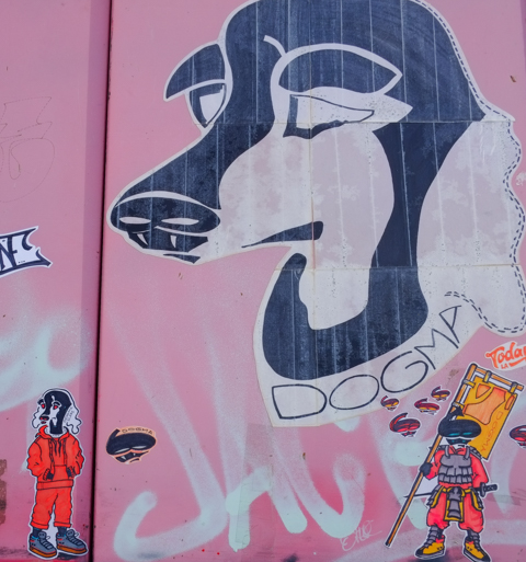
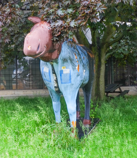
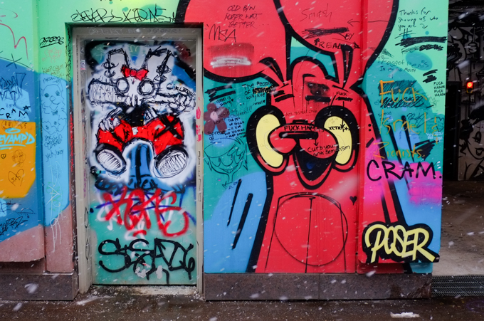
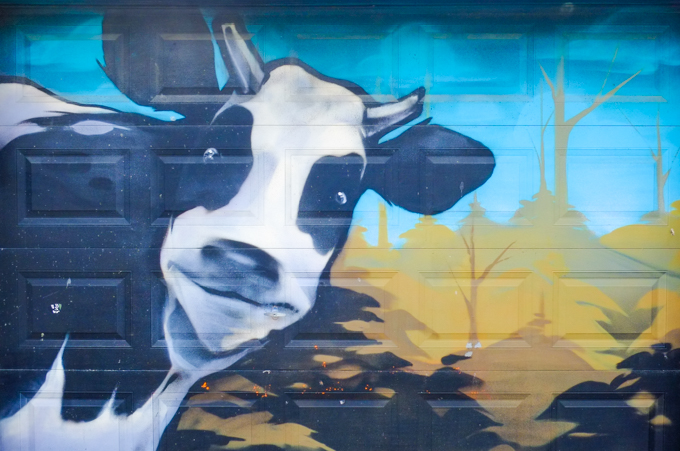
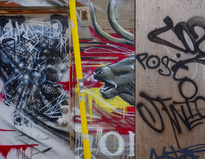
Moooo…. Hey there good looking!… Here’s looking at you! This was painted by Poser. Usually he does bunny rabbits but I think that he’s pretty good at painting cows too!
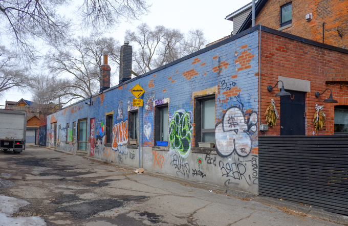
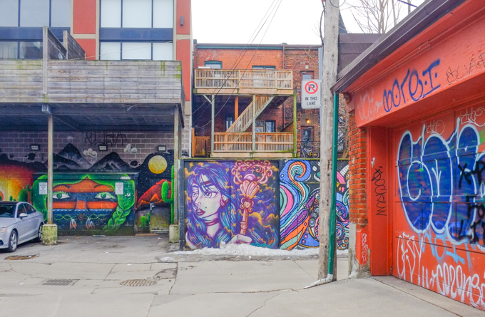
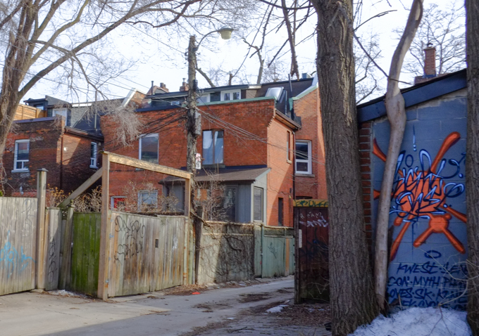
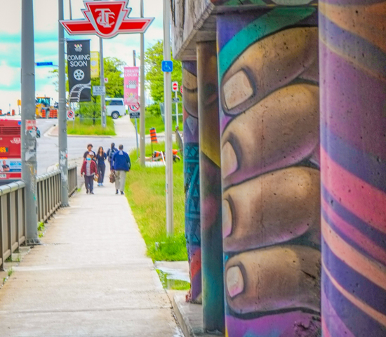
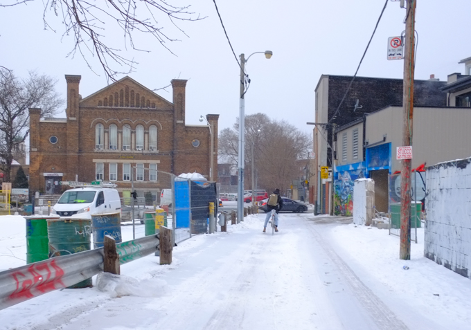
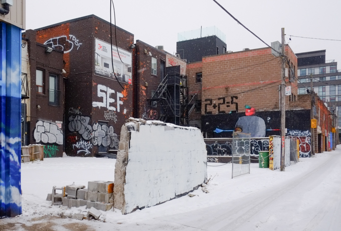
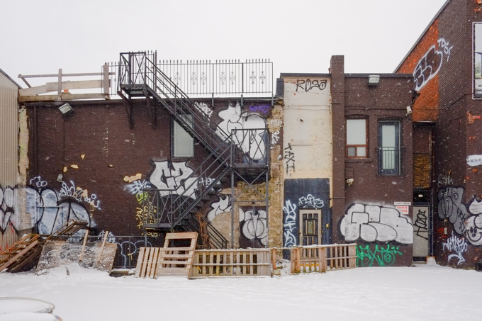
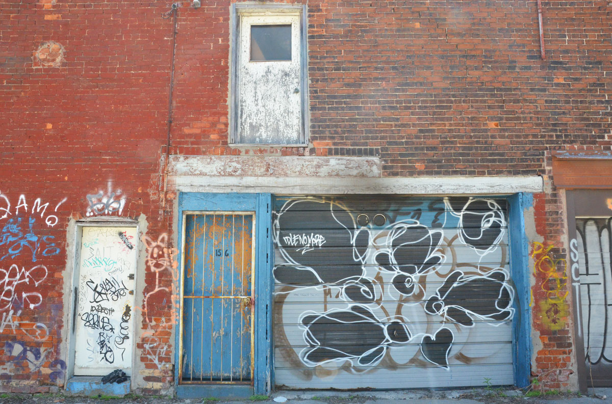
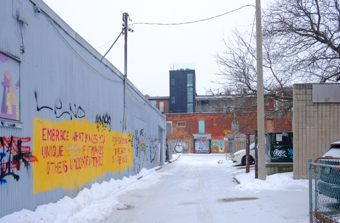
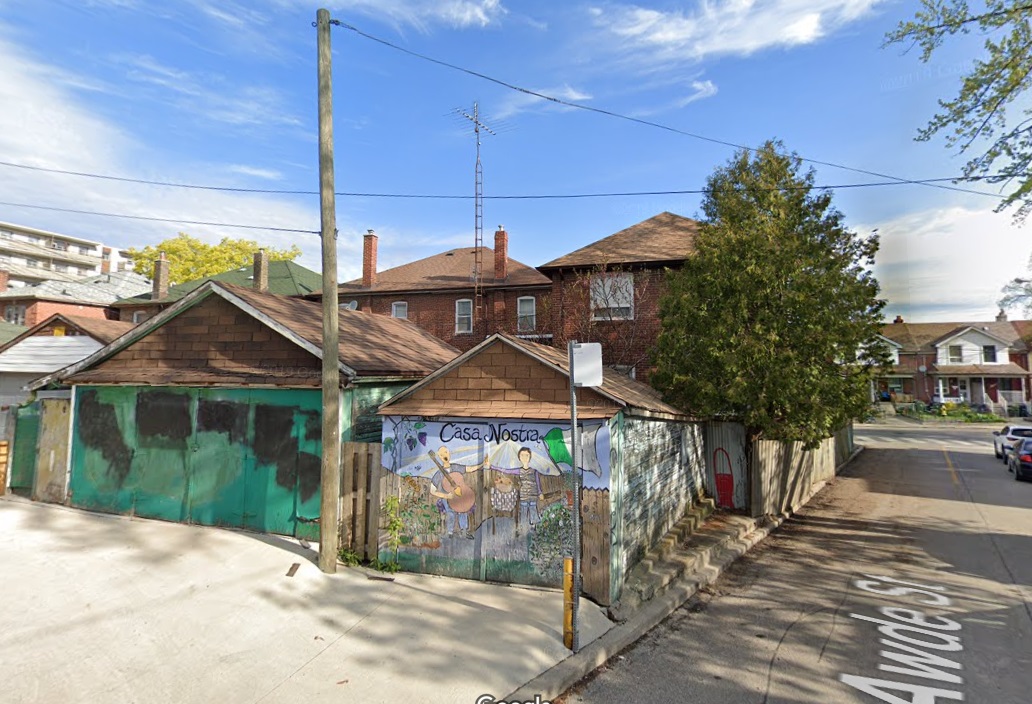
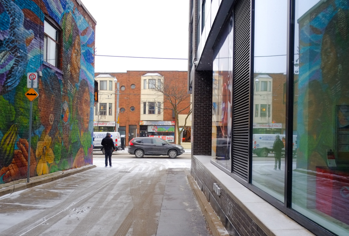
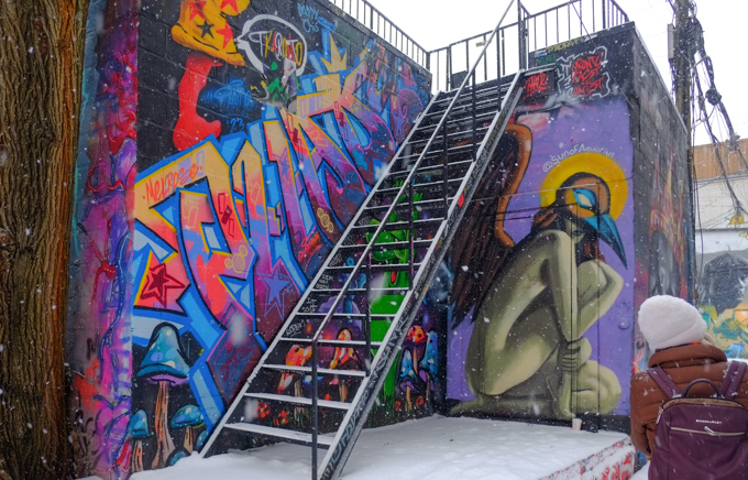
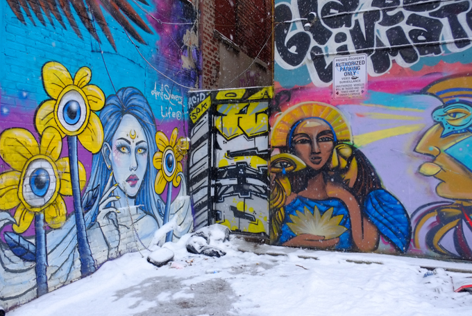
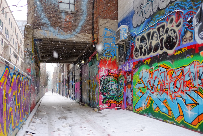
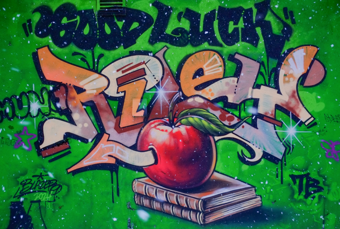
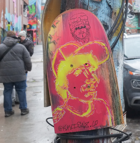
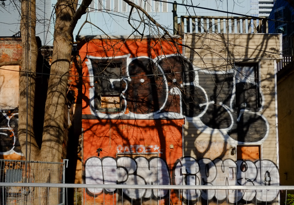
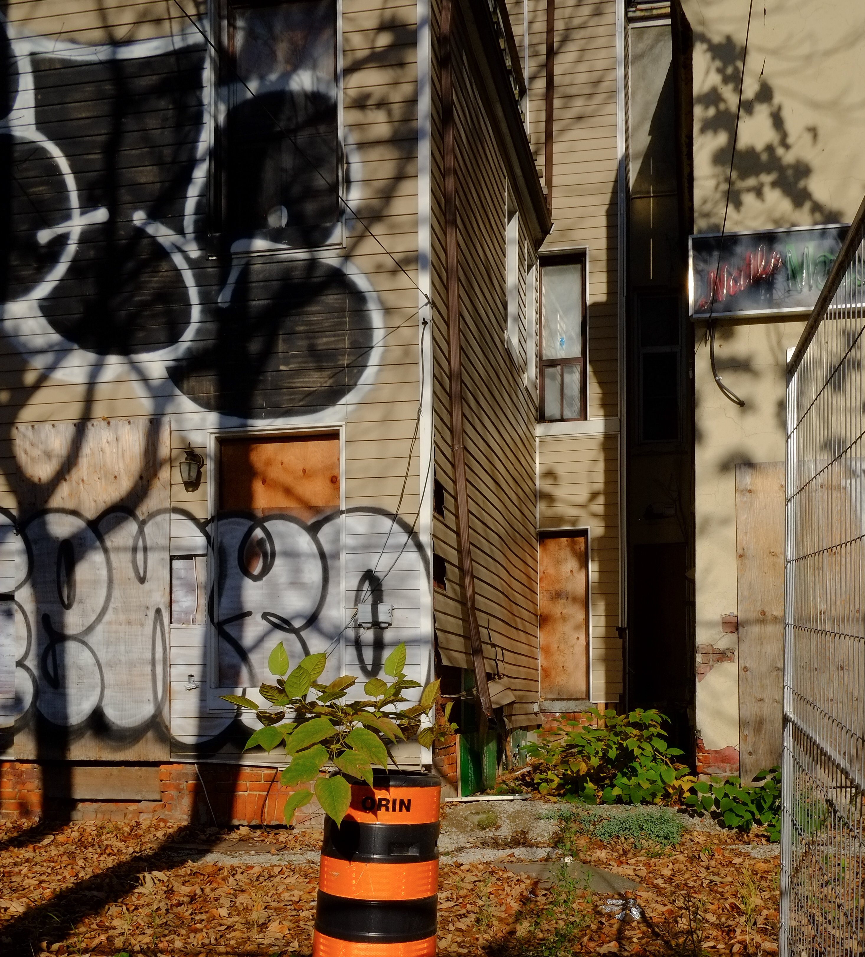
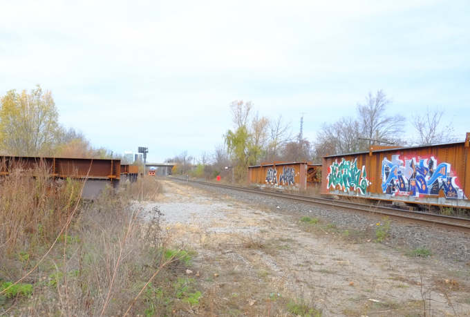
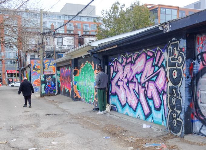
For a number of years now, there has been a lot of street art and graffiti in an alley that runs behind the east side of Ossington starting at Queen Street and ending one block north at Humbert. Some of it is interesting; some is not. A few garages and walls look the same as they did 12 or 13 years ago so some of these photos may look similar to older photos used in this blog.

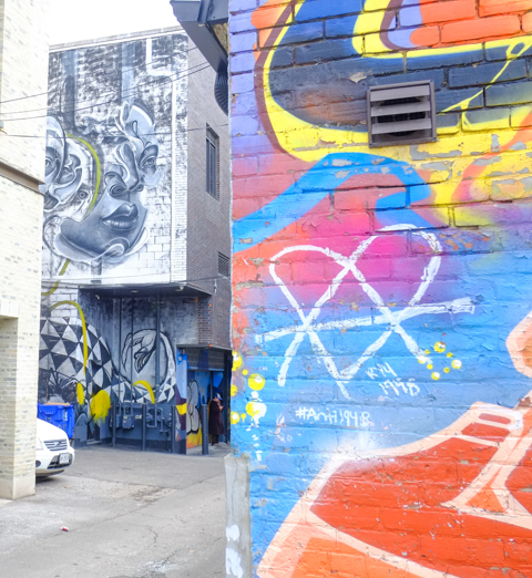
below: In the background, an untitled piece by Caratoes. It was one of 5 murals painted in Toronto in 2016 for the “Sea Walls: Artists for Oceans” series. In total, there were over 500 murals in 20 countries in this series.
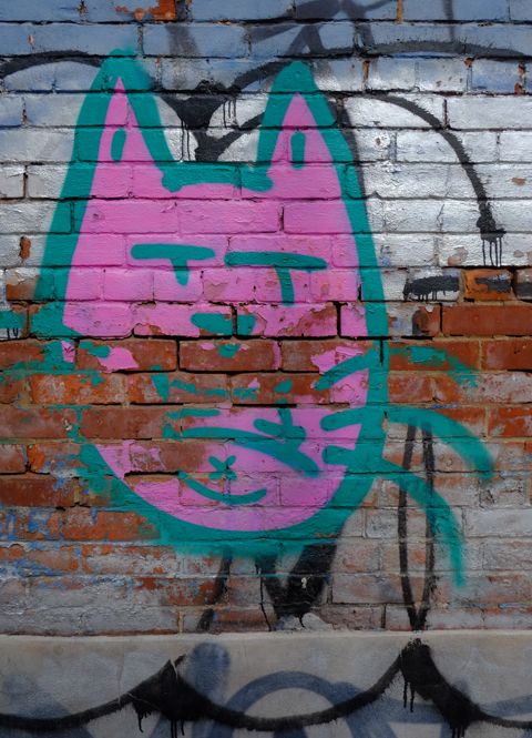
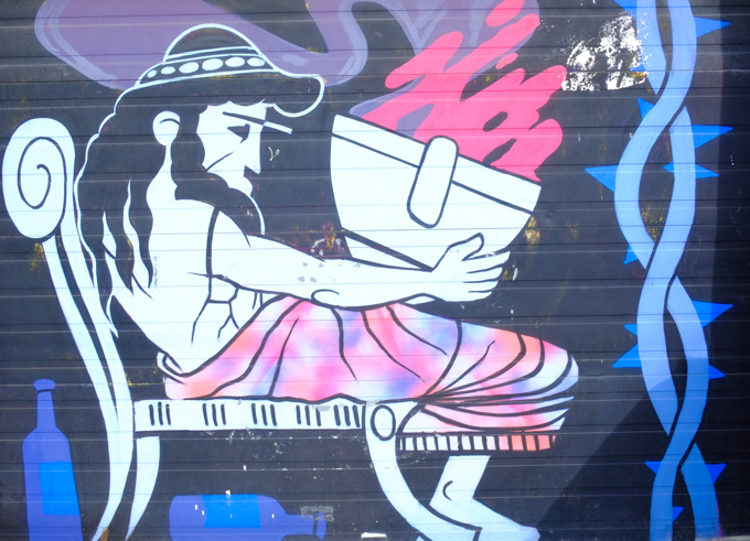
below: Six lit matches ready to go. This crazy cat is up to something no good…

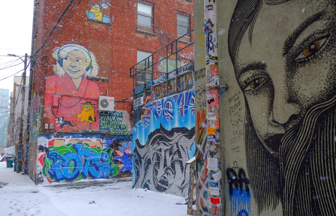
below: An early Birdo piece, although the scroll names or street artists too. The first street art in the alley dates from 2012 when a group of artists painted some of the garages here.
below: A pink rose between two women.

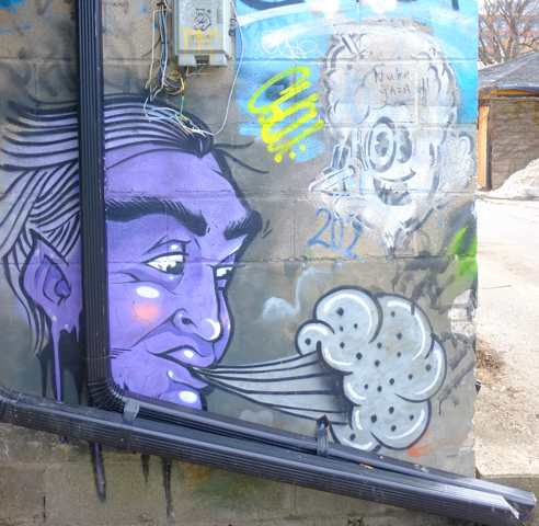
below: Another oldie – this purple guy has been blowing a gust of wind for many years.
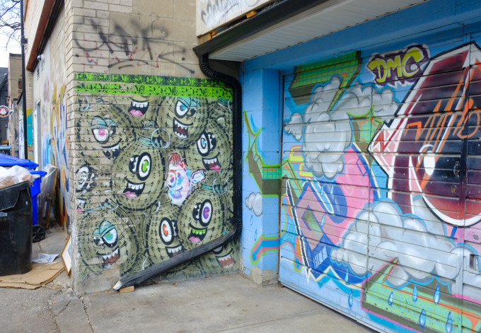
below: Vintage Spud bombs, some cheerful and some menacing.
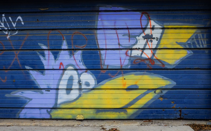
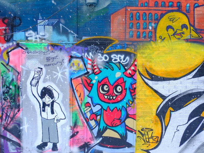
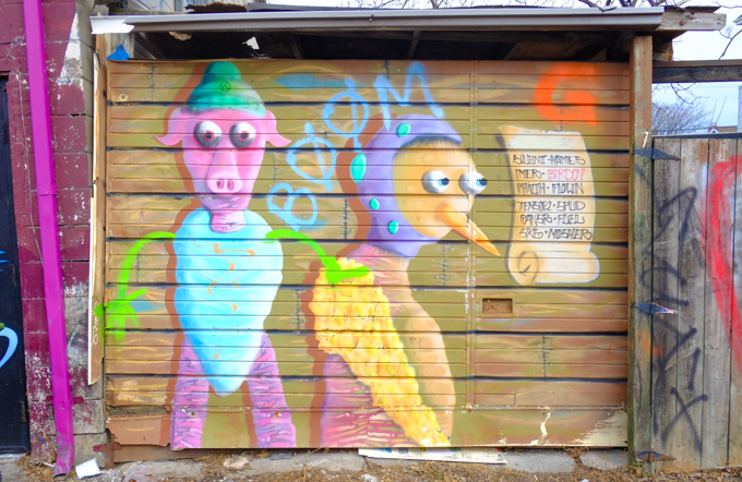
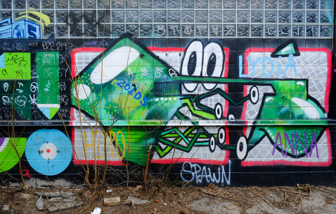
below: A funny looking green creature with big white eyes and lots of skinny legs.
below: A couple, together in the stream, in a mural by Elicser Elliott with the title “Swim”

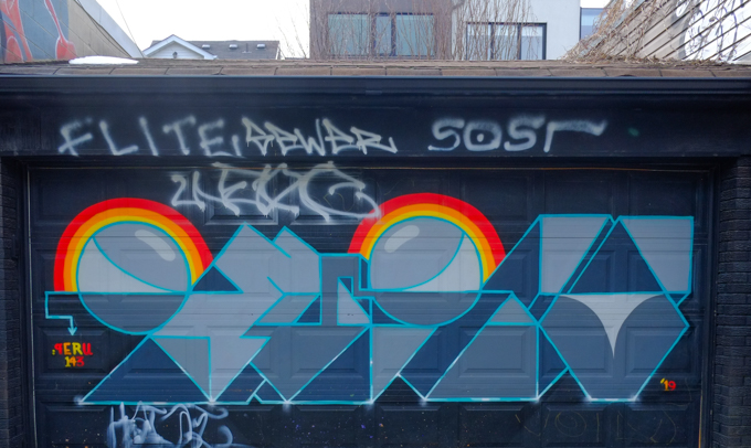
below: Geometric shapes with a touch of rainbow colour, by Peru
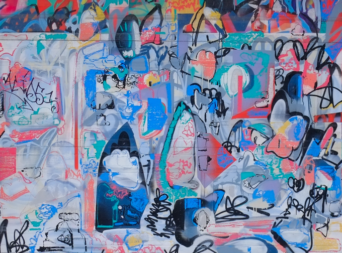
below: Large pink and white swirls and curls cover a wall. Any time that you see swirls like these, think Flips because that’s sure to be the artist that painted them.

below: Only a small portion of this moose painting by Aaron Li-Hill remains. I don’t usually show the original works but I am going to make an exception here. See next image.
below: This is what it looked like back in 2012 or 2013.

below: A newer Catchoo sticker.

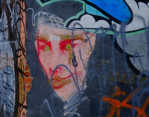
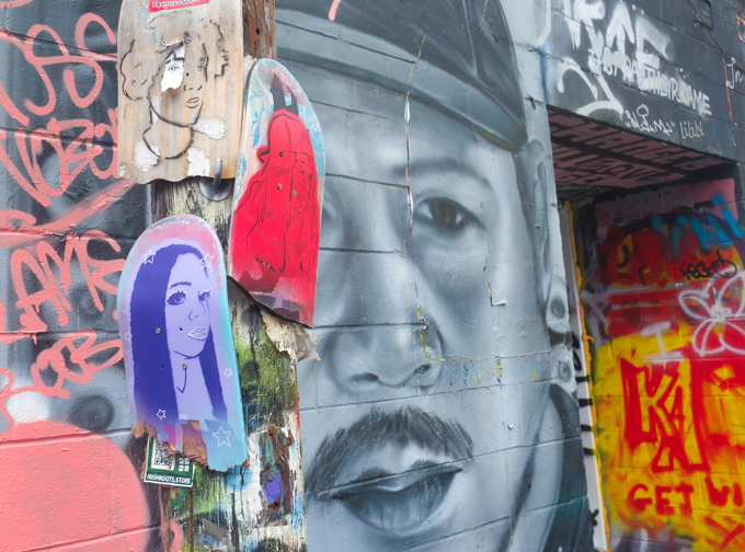
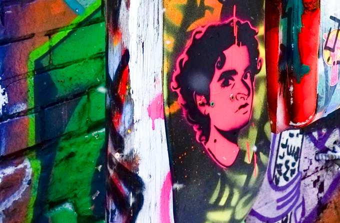
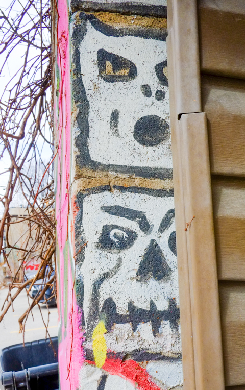
below: A couple of faces taken from many faces around a garage.
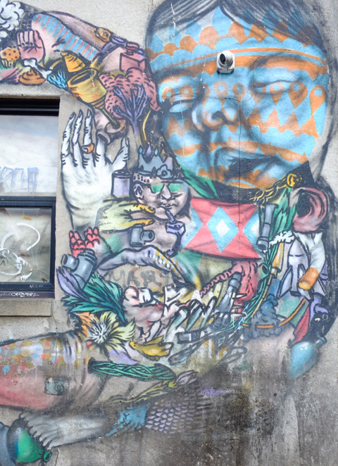
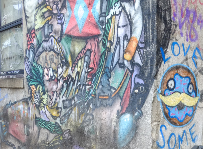
below: Part of a Troy Lovegates mural (as are the next three images)

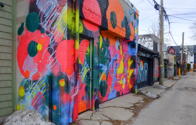
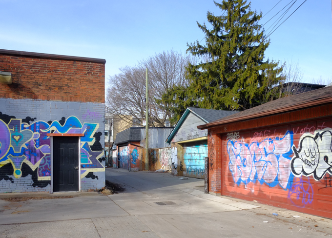
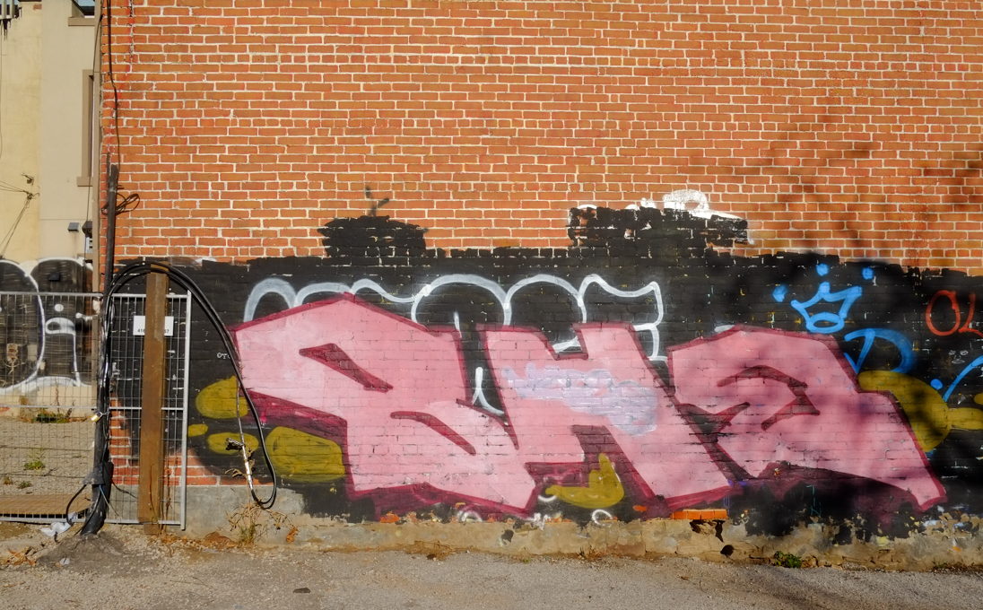
below: Looking south. The closest garage on the right has a mural painted by Spud.

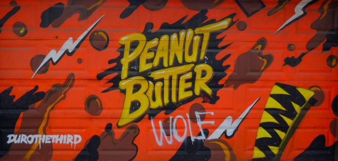
below: Durothethird paints peanut butter & (probably) chocolate
below: Horus, “Well and good”


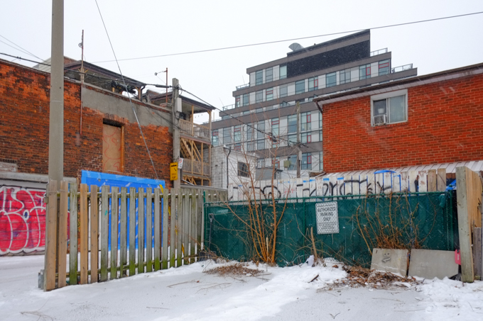
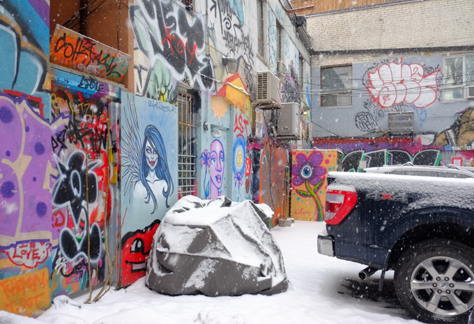
below: At the north end of the alley


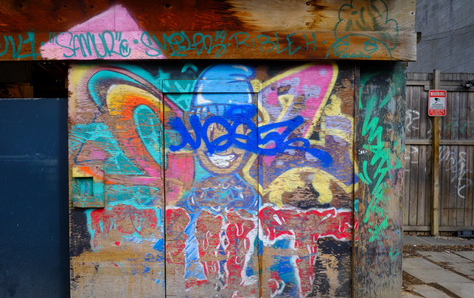

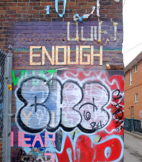
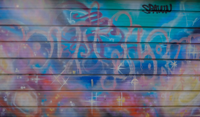
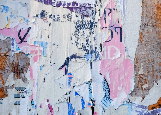
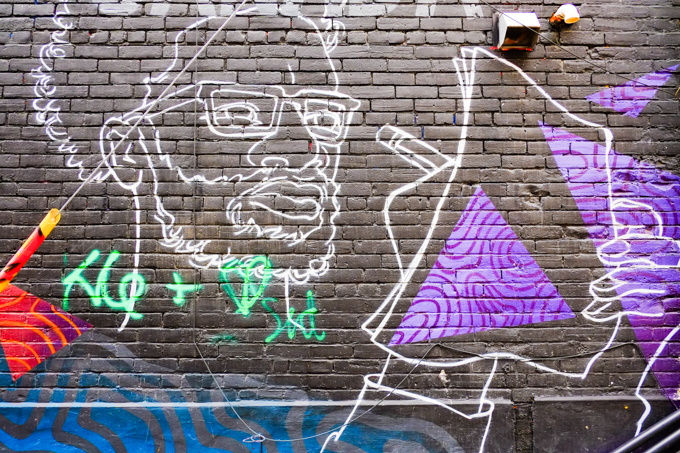
below: Writing on black and purple
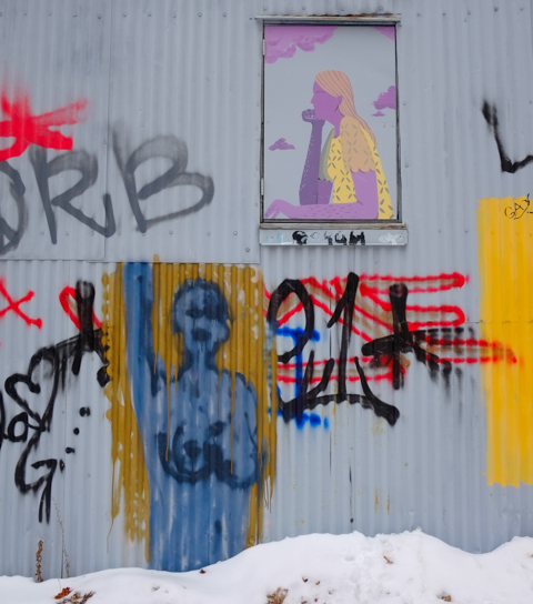
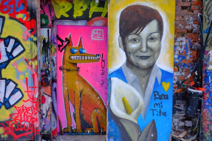
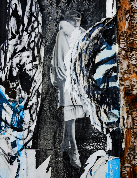
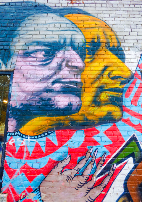
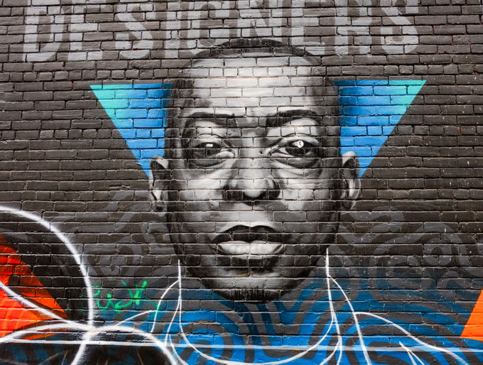
below: Portrait of George Sully, Canadian designer
below: Love yourself, over and over again, and in many different colours!

below: An old stikman in a frame, weathered but still there.
below: And lastly… Too extraterrestrial, which someone seems to love

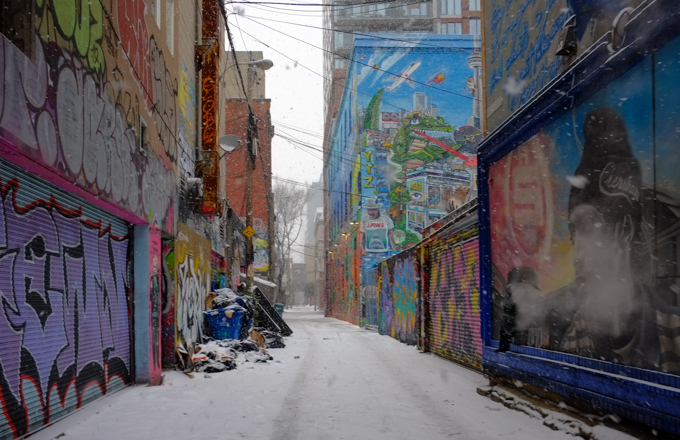
below: Looking north