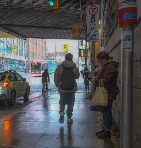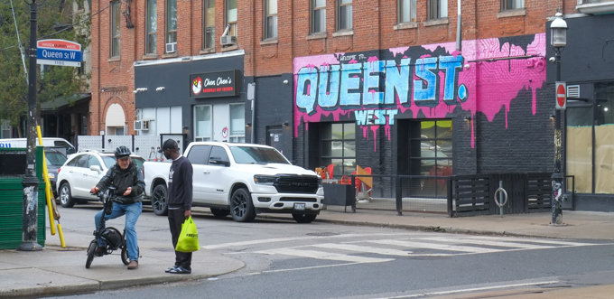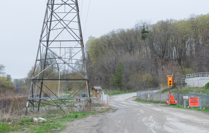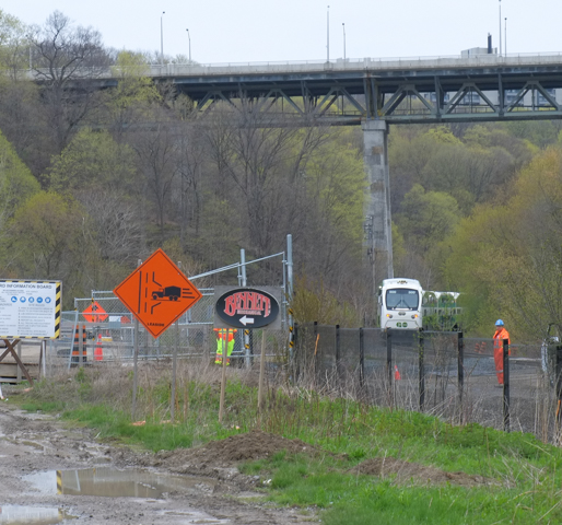
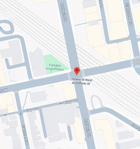
The intersection of Dufferin and Queen Street West is dominated by the CN railway & GO transit tracks. Large underpasses to the north and to the east define the character of the streets here.
Between 1881 and 1891, the population of Toronto more than doubled, from 86,415 in 1881 to over 181,125 ten years later (numbers are from census data). As the city expanded, infrastructure struggled to keep up as it usually does. It was decided that Queen Street needed an underpass instead of a level crossing. In 1896 the first bridge was built. At this time, Dufferin street ended at Queen to make room for the tracks. Dufferin was now divided into a north and south section.
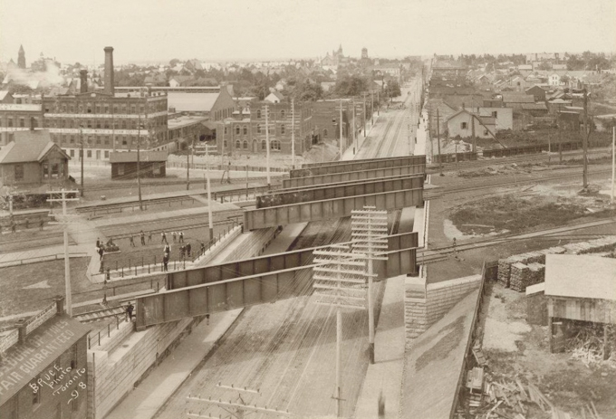
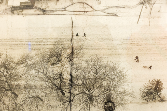
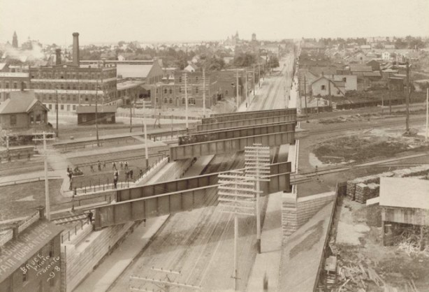
below: This is a 1898 photo from the City of Toronto archives showing the new railway bridges over Queen Street West. The view is westward. Dufferin is difficult to see in this image but it ends under the railway bridge that is farthest away. Parkdale train station would have been just outside the picture on the left side. It was closed by 1970.
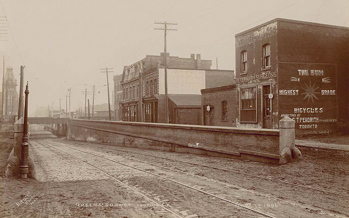
below: Still on Queen Street and still looking west but from farther back from the railway bridge which is now in the distance. The big square-ish building on the right is a Veterinary Surgeon’s office. The ad on the side of the building is for ‘The Sun’ where you could find the highest grade of bicycles, manufactured by G. T. Pendrith. The photo was taken in November 1896.

source: There are many places to find this photo on the internet. This copy came from Wikimedia Commons.
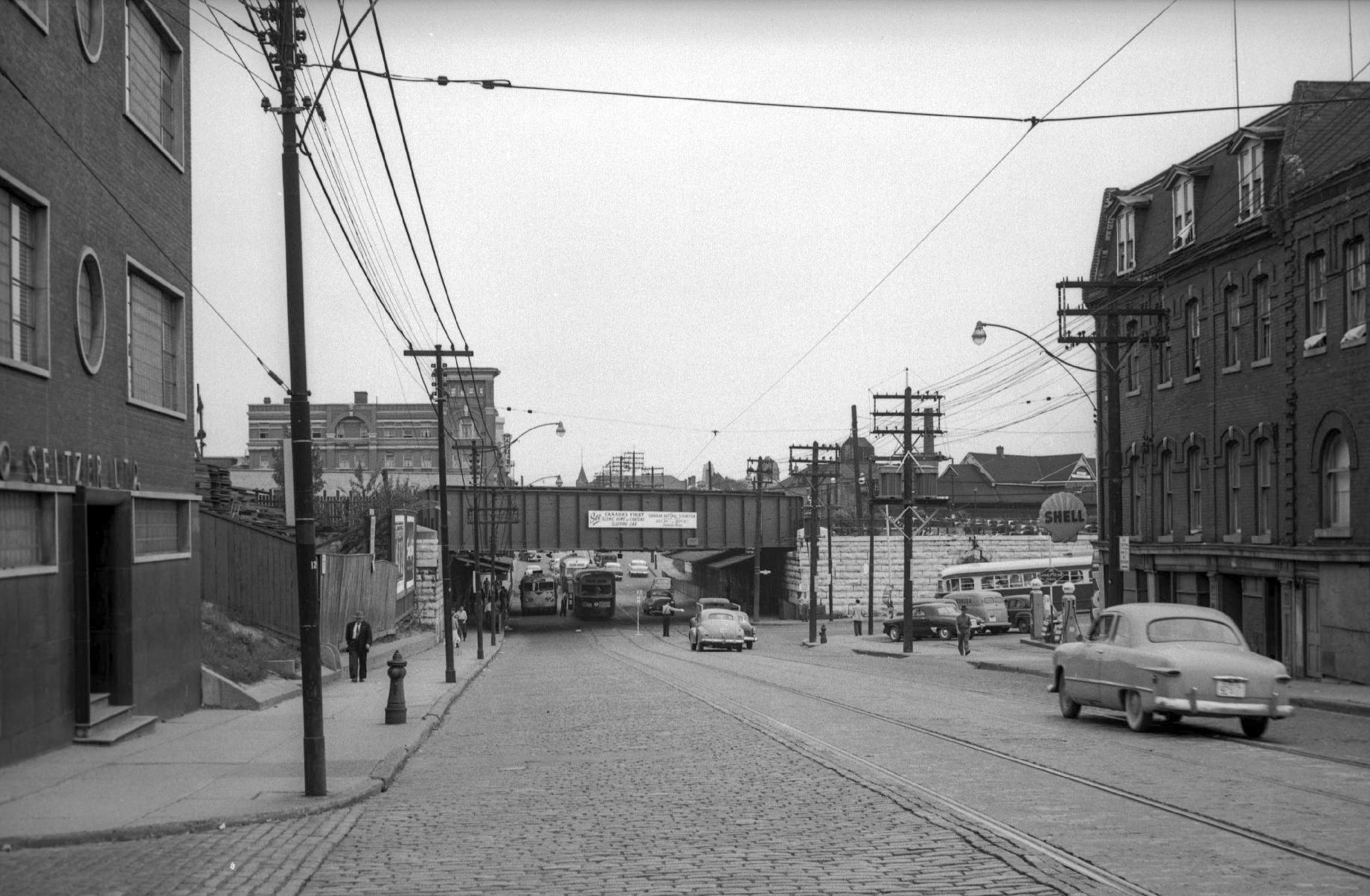
below: Looking east along Queen from Noble Street, past Dufferin to the railway tracks, 1954. The Gladstone Hotel in the distance. There is a Shell gas station on the southwest corner, and although it’s difficult to see, a policeman is standing in the intersection directing traffic.
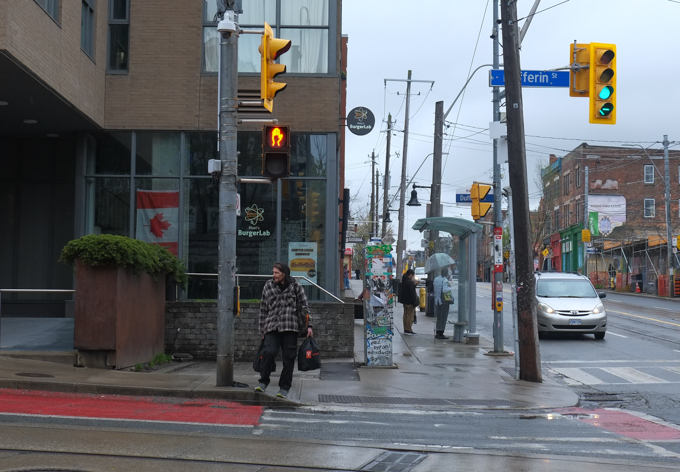
below: Southwest corner today …. that Shell station is long gone. A newer condo development fills that corner (built since 2010).

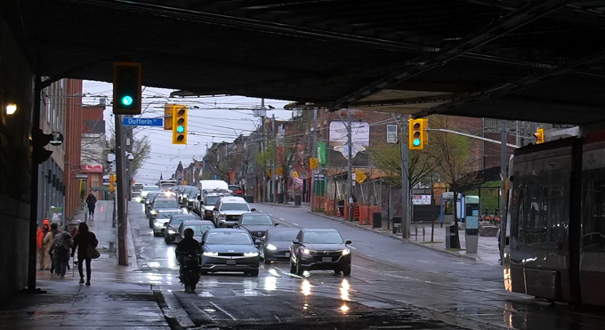
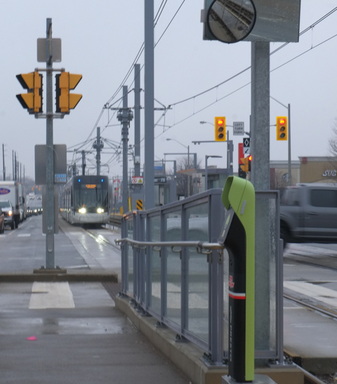
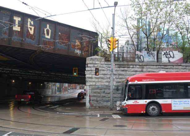
below: The stone wall along the east side of Dufferin looks very similar to that of 1954. The buses have been modernized though – we now have new shiny red hybrids.
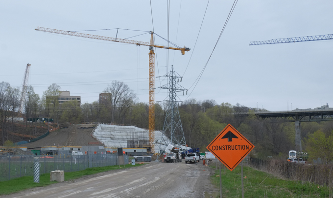
The “Dufferin Jog” was fixed in 2010 when another railway bridge was built.
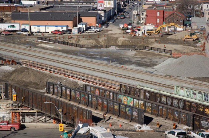
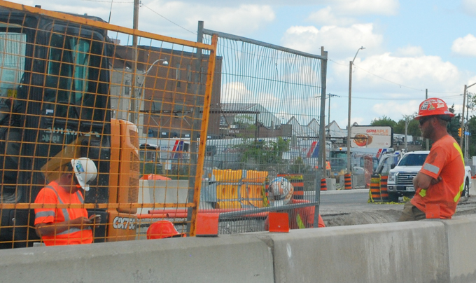
below: Looking north up Dufferin during the construction of the bridge, 2010. This is another image from the City of Toronto archives.

source: Fonds 601, Series 2860, File 4, Item 1 (City of Toronto archives)
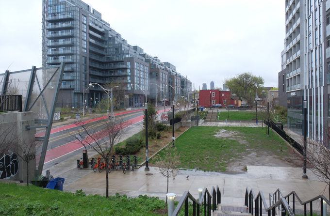
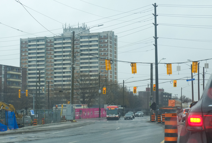
below: North on Dufferin today (not exactly the same view as above). Bus lanes, or rather transit priority lanes, have recently been painted red. The red brick building on the east side of Dufferin still remains.
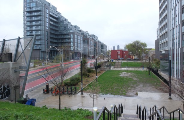
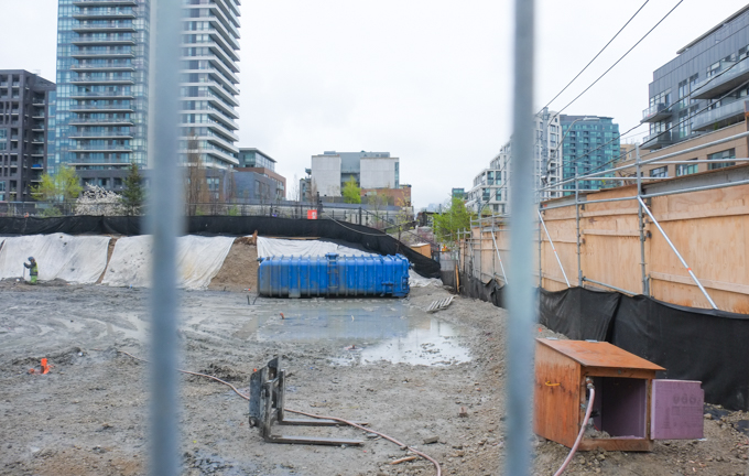
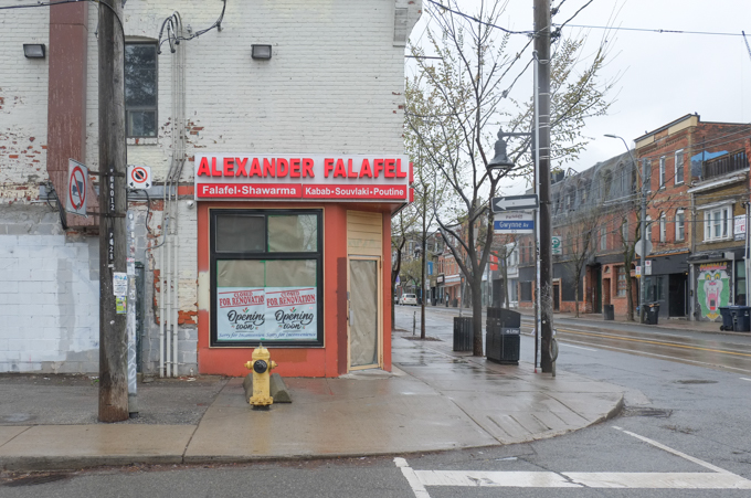
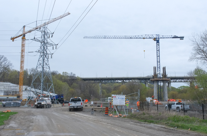
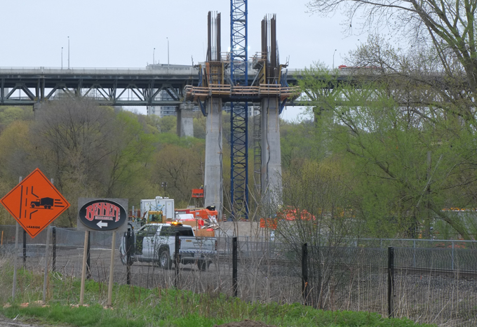
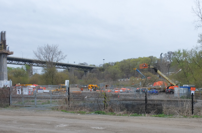
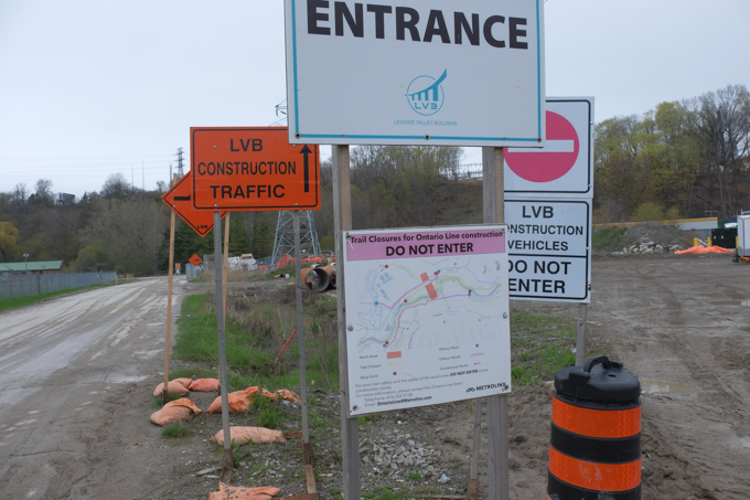
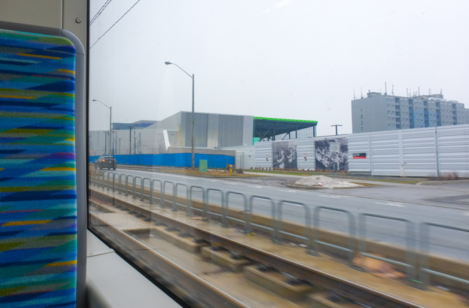
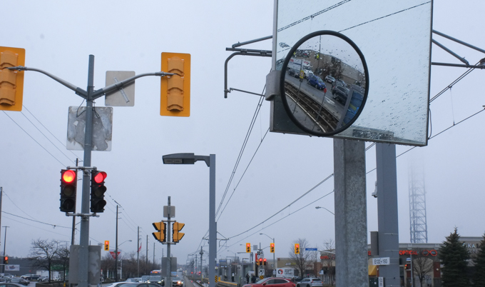
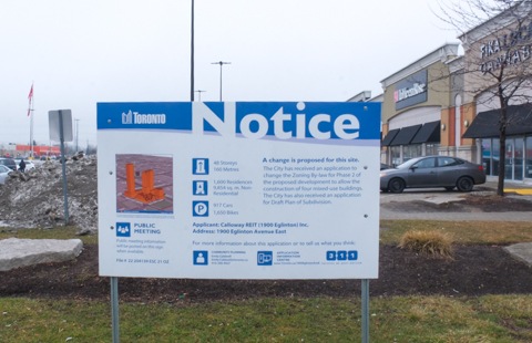
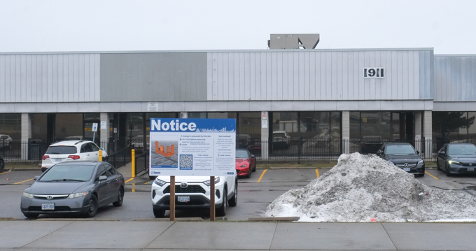
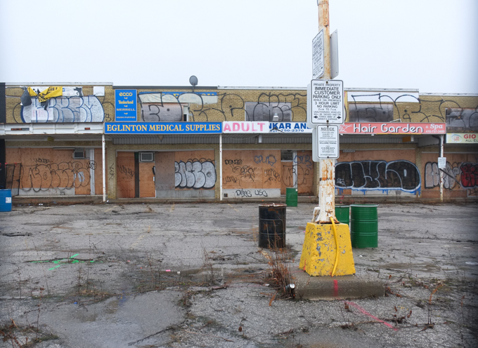
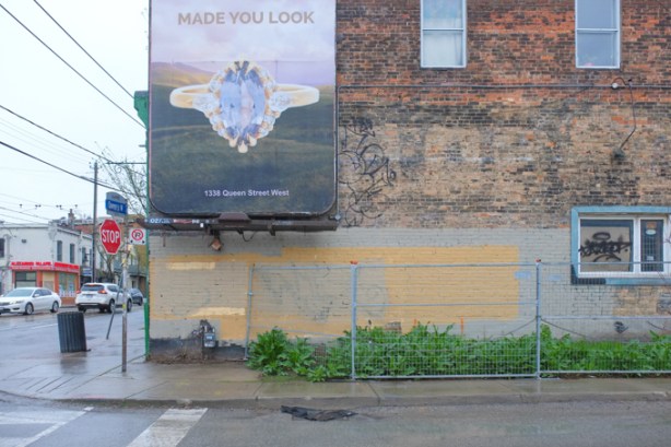
below: There are changes coming to the northwest corner of the intersection. This photo was taken from the corner of Noble and Queen and is generally north looking.
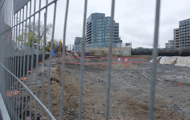
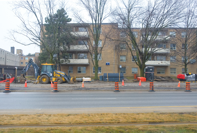
below: Hoardings on the north side of Queen
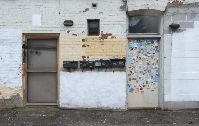
below: The view behind the hoardings

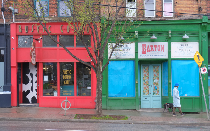
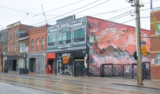
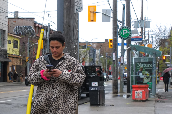
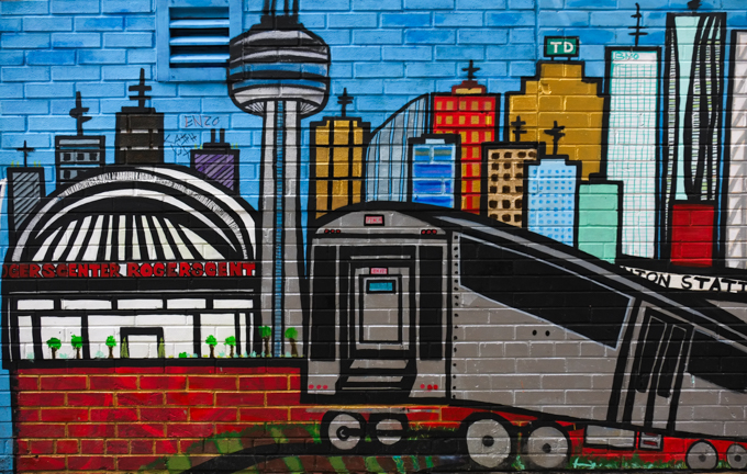
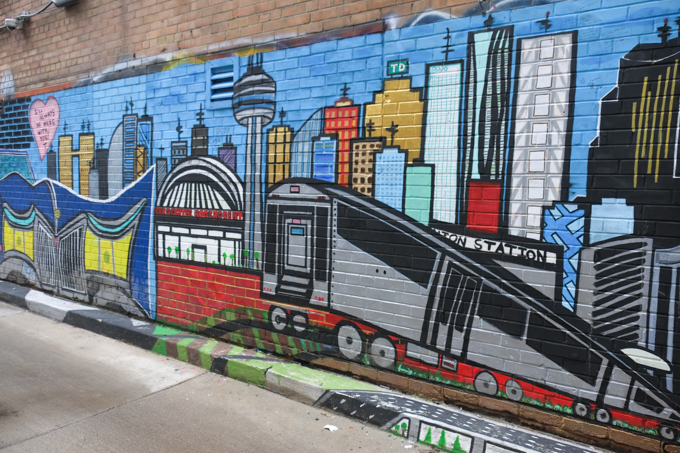
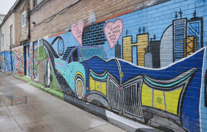
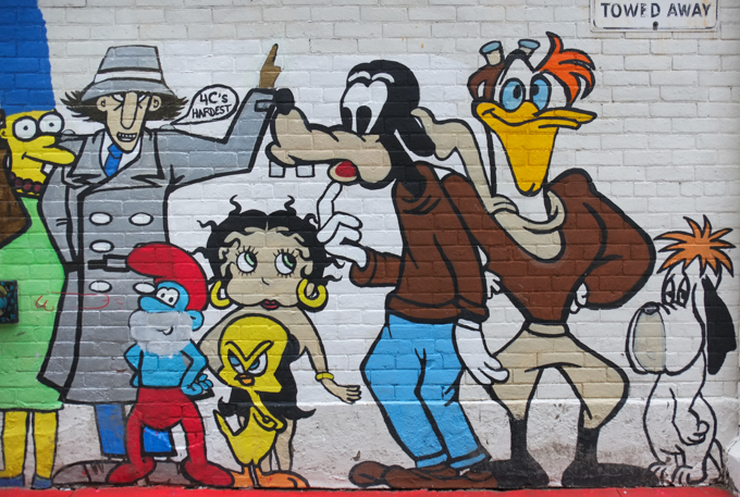
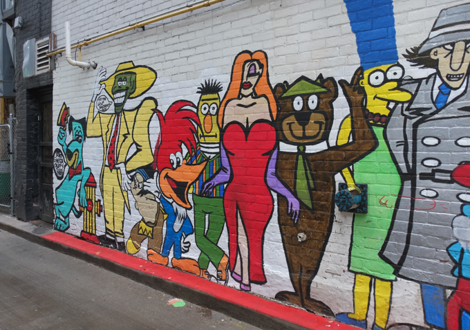
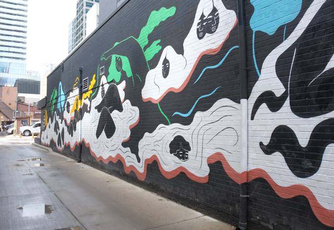
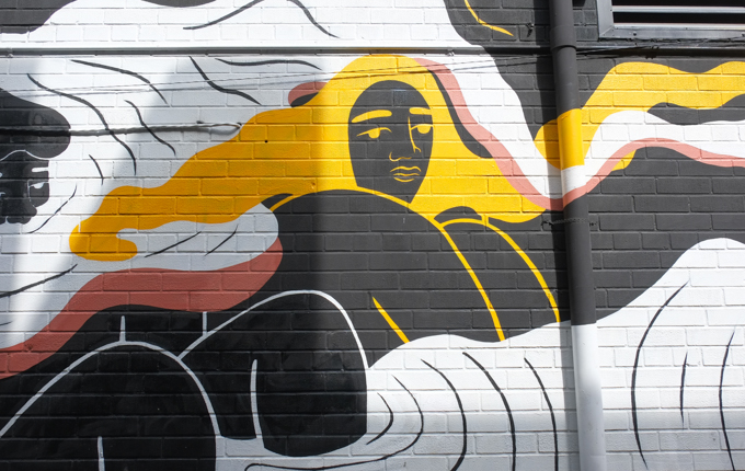
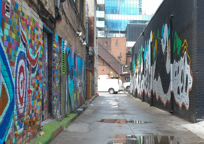
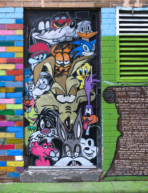
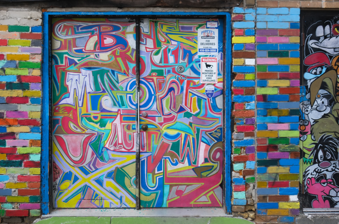
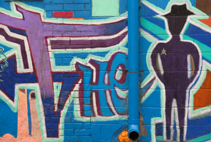
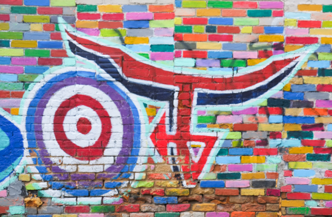
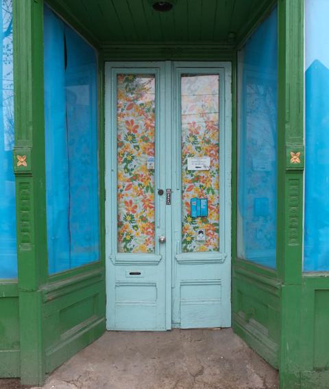
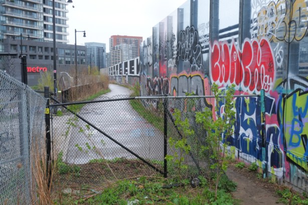
To the west of the tracks is the Parkdale neighbourhood with its colours and idiosyncrasies.


The Milky Way runs parallel to Queen on the south side. There has been lots of street here and I have blogged about it before, 5 times before as it turns out. The first time was back on 2015 (Walking the Milky Way) and the most recent was in 2023 (Aging on the Milky Way)

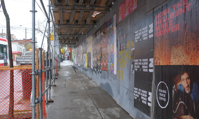
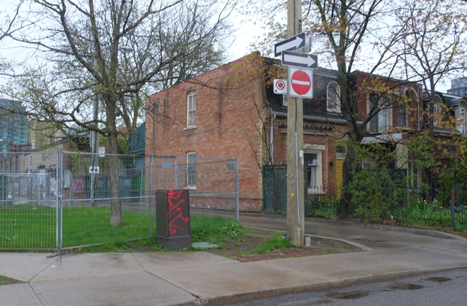
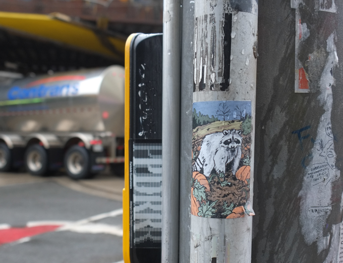
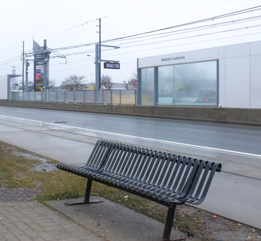
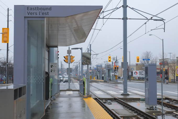
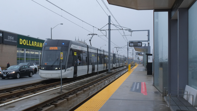
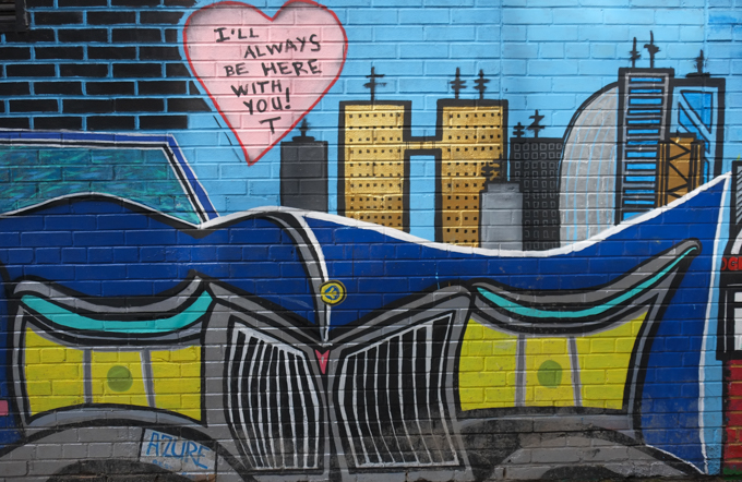
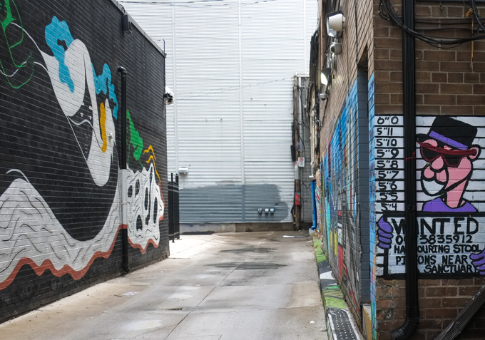
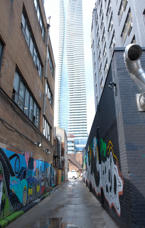
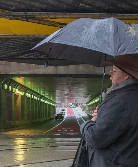
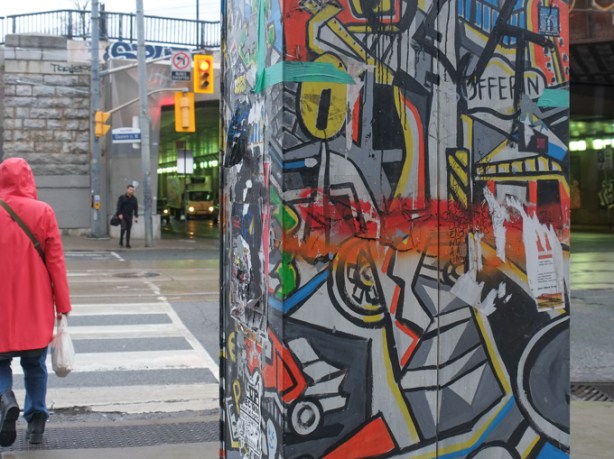
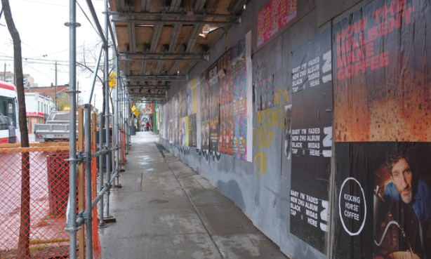
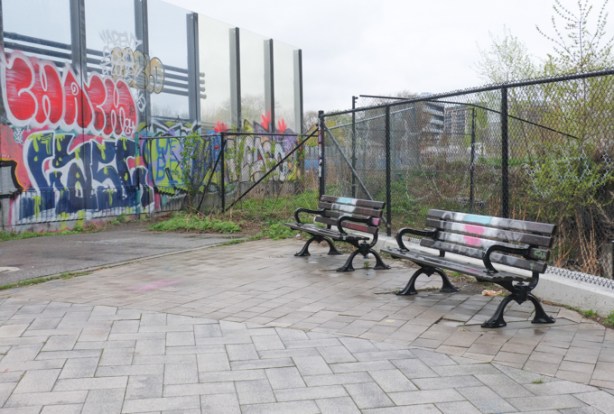
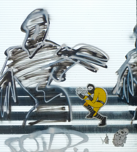
below: On the north side of the railway tracks, there is a pedestrian crossing and bike path. There is also a quiet corner with a couple of benches. The rest of the images in this post were taken on that pedestrian crossing.
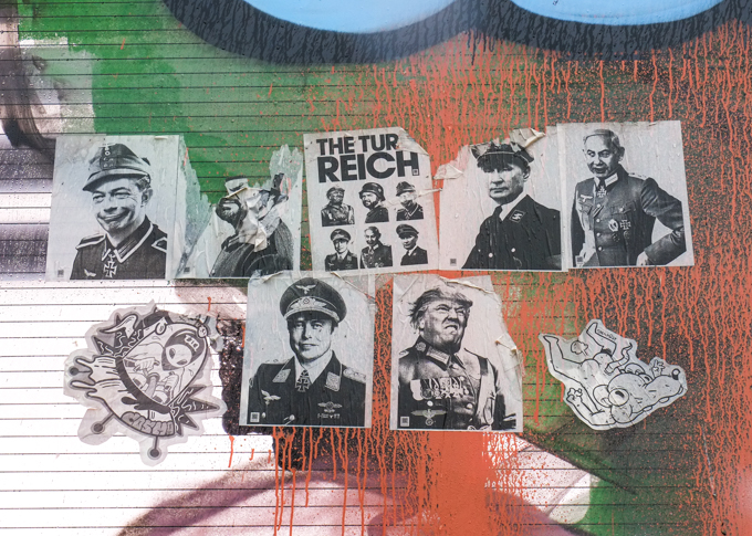
below: The Turd Reich – a wonderful series of paste-ups of our “favourite” men in uniform. Donald Trump, Elon Musk, British MP Nigel Farage, Prime Minister of Israel Benjamin Netanyahu, JD Vance, and Vladimir Putin have been dressed up as World War II Nazi soldiers. This collection first appeared in London, England about a year ago. They are they creation of Grow Up Art.

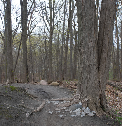
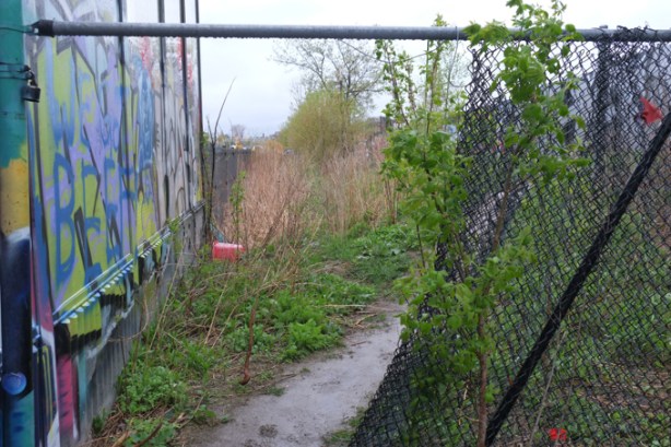
below: A hole in the fence, with a well worn and muddy path!
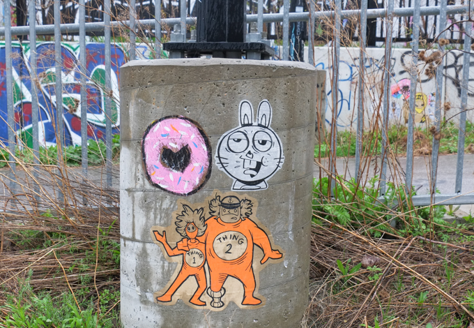
below: Thing 1 and Thing 2, right out of the Cat in the Hat.

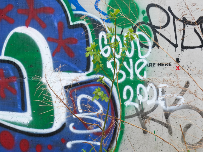
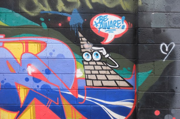
below: A little red X marks the spot
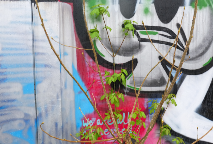
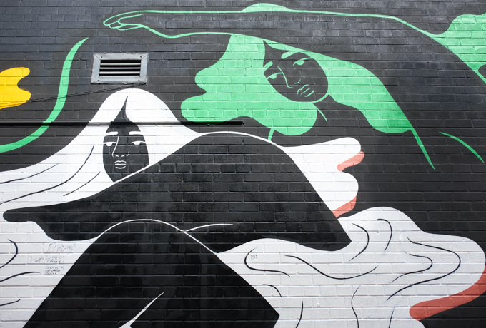
below: We are all connected

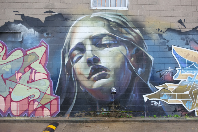
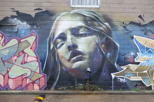
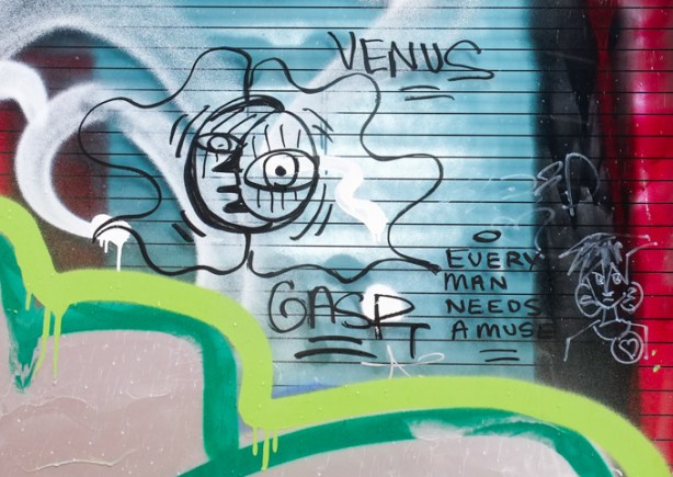
below: Every man needs a muse. Who is your Venus?
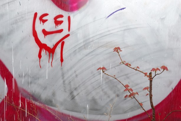


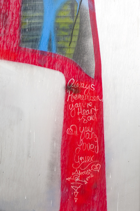
below: “Always remember you’re Heart & Soul, you are Loved 4 ever. Trust me.”
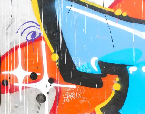
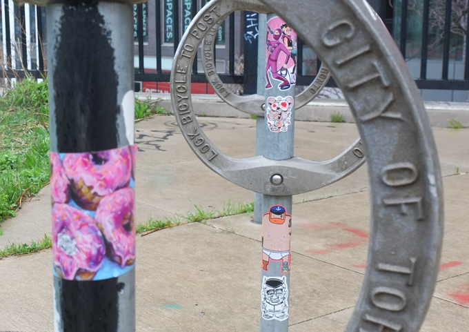
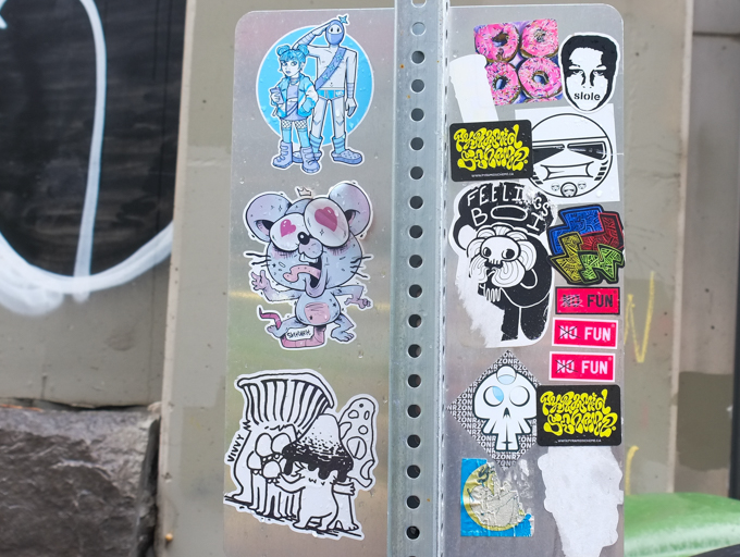
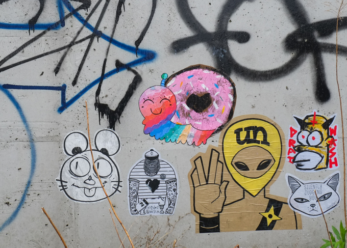
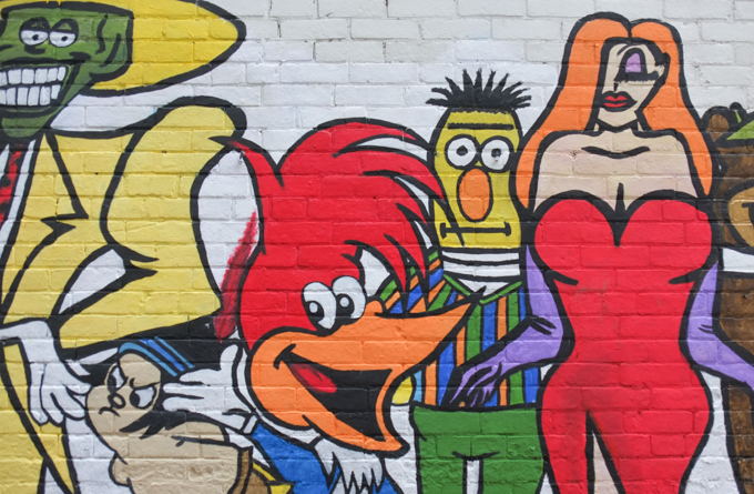
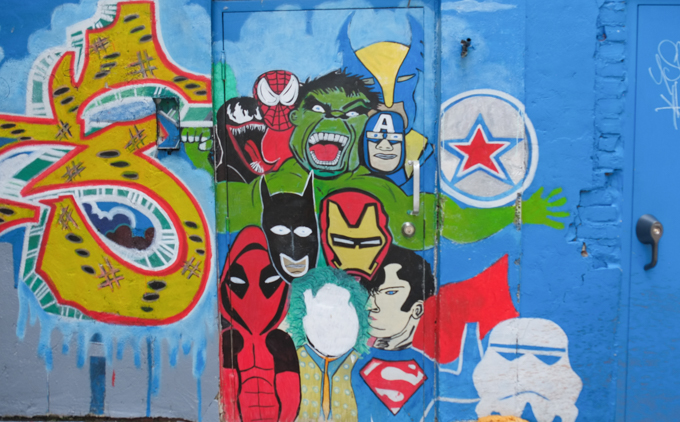
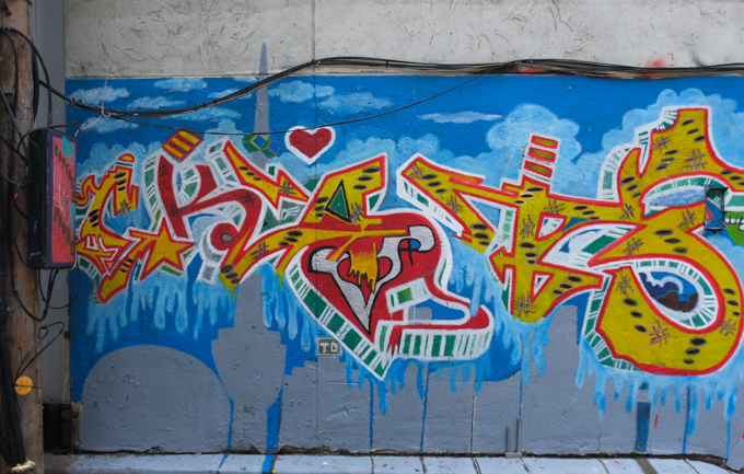
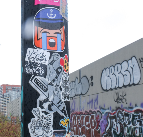
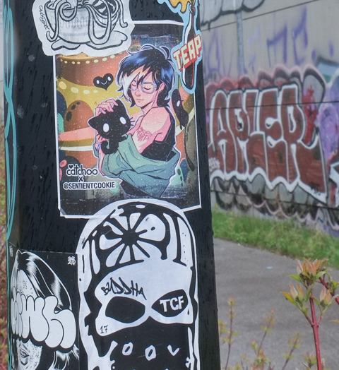
Graffiti by: Catchoo, D7606, Feellings Boi, Geekypet, Sentient Cookie, Sketchrat, TRP613, Urban Ninja Squadron, Visual Noise, Vivvy, Zonr (and others)