Archive for the ‘locations’ Category

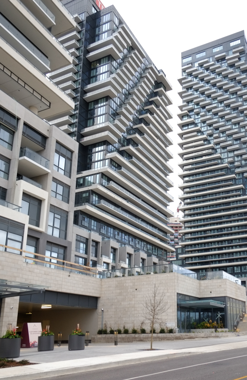
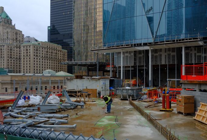
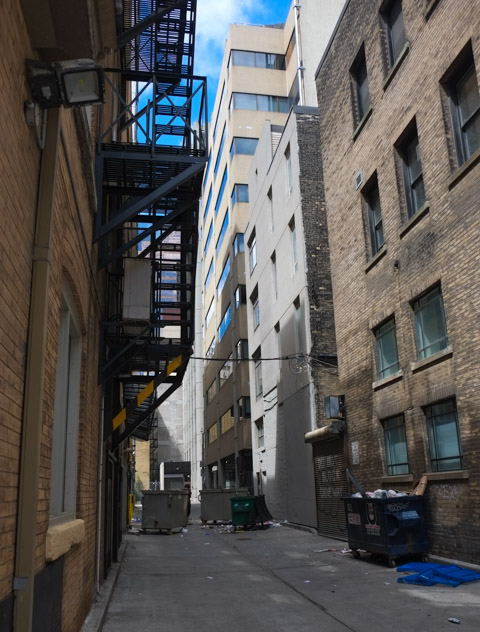
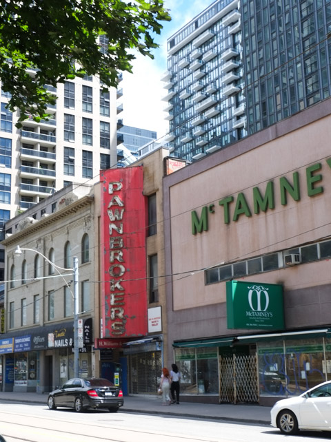
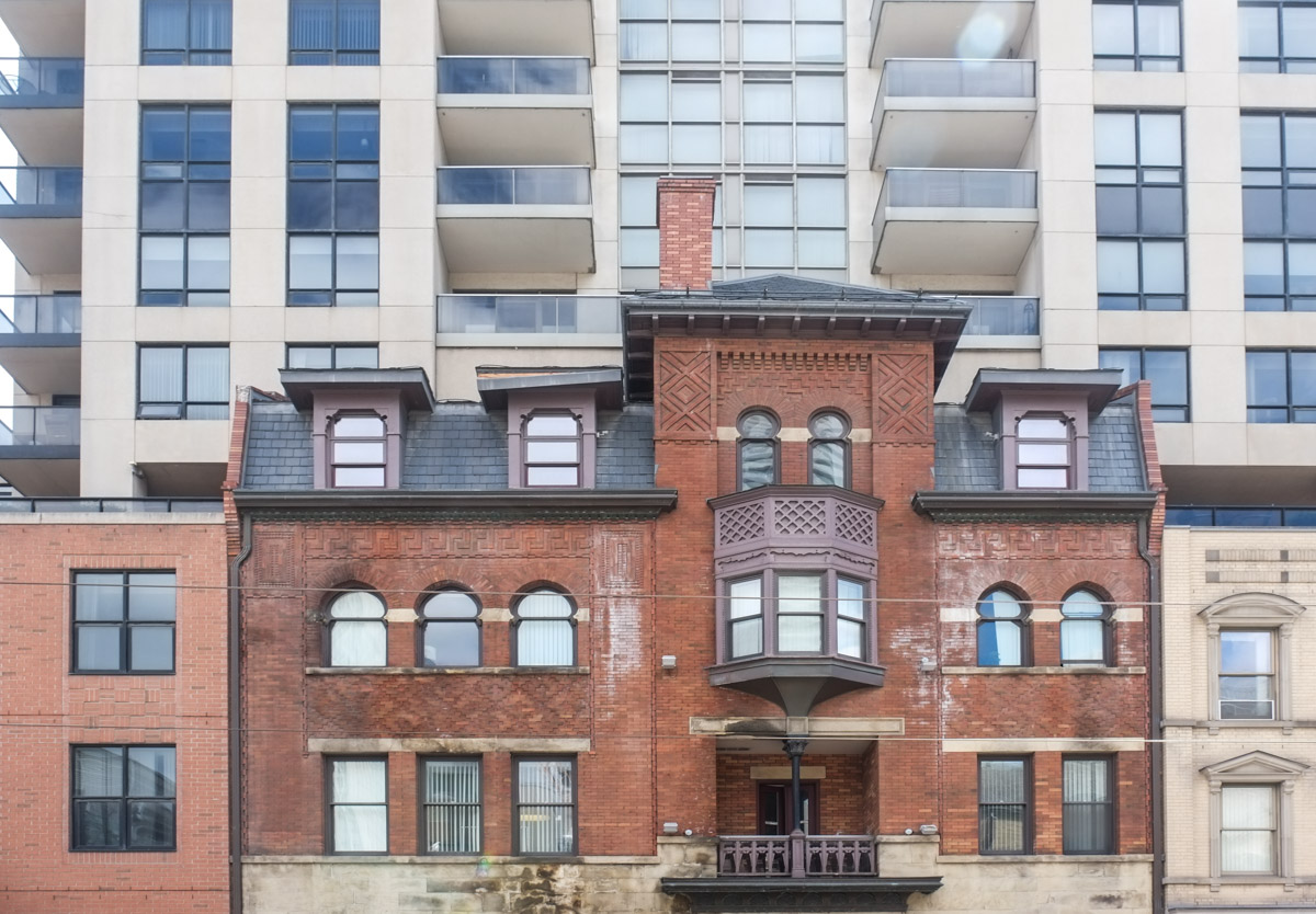
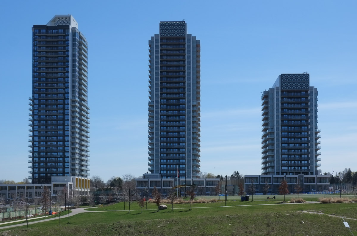
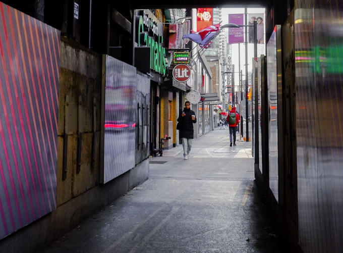
…. A short distance but with a lot happening.

An early morning walk with a weak winter sun low in the sky.  Tall buildings that cast shadows, or reflect light.  Patterns of light and shadow.

below: Crossing Yonge from Carlton to College

people crossing intersection of college and yonge, walking westward, towards TTC streetcar that is heading east, in front of College Park, with old red brick building on the north side of college street

below: North on Yonge.  The facade above Shoppers remains.  “….has design value and technological merit as a representative of the 1950s Toronto School of ‘Picturesque Modernism’ in its expressive use of concrete seen in the cantilevered canopy and decorative piercings of the concrete screen for the above-ground parking, in the ‘egg-crate’ elevations designed to reduce solar gain, and in the predominant white aesthetic of glazed white brick and concrete surfaces.” (form City of Toronto report on heritage inclusion)

below: Rising above Yonge and College

tall new condo tower above older red brick building on northwest corner of Yonge and college

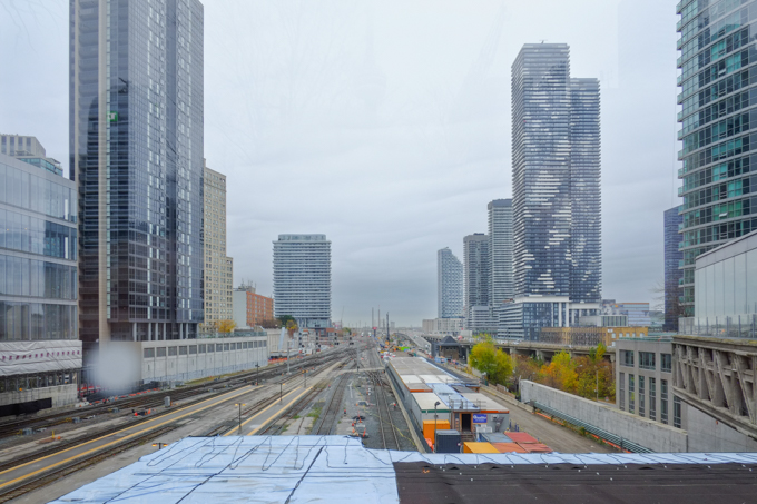
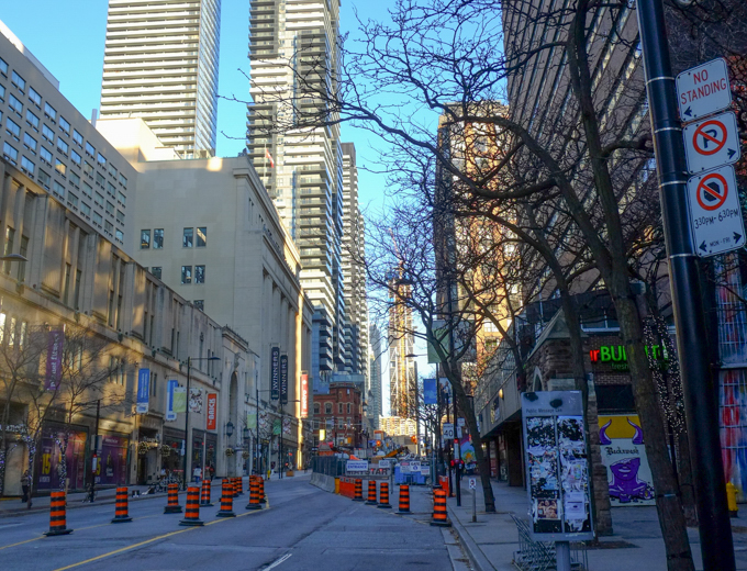
below: Looking north, up the canyon that Yonge has become.  The very tall building that is obviously under construction in the distance is at Yonge and Bloor.

looking north on Yonge, from College, towards two very tall condo developments at Yonge and Bloor, shadows because of buildings, blue sky, not much traffic

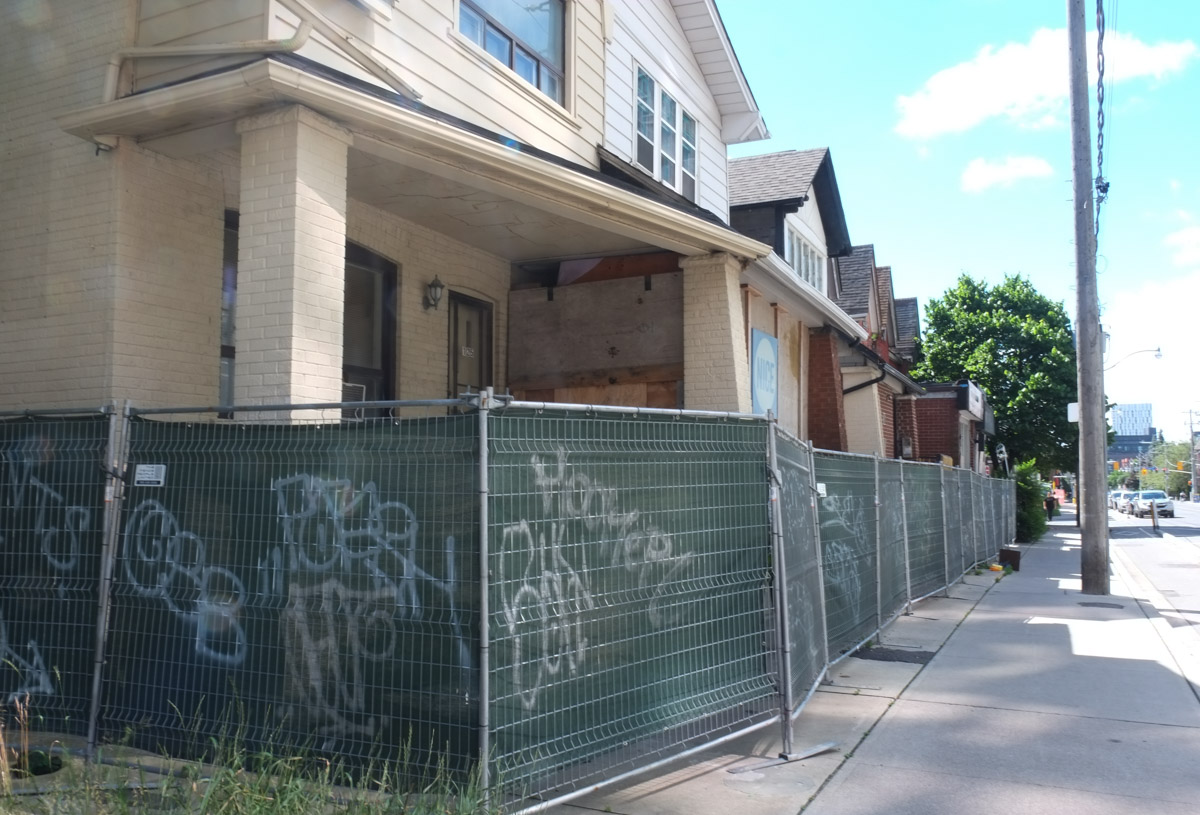
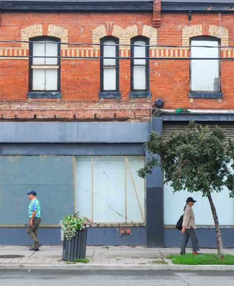
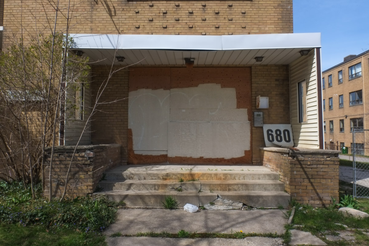
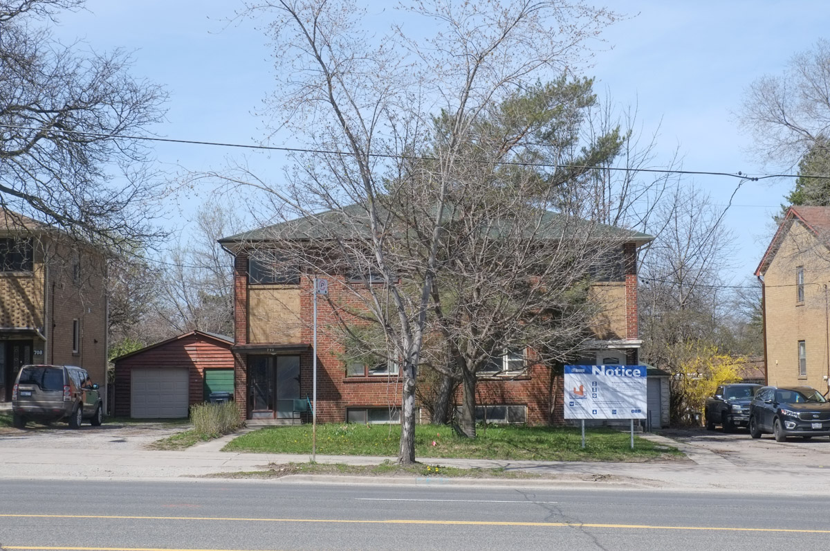
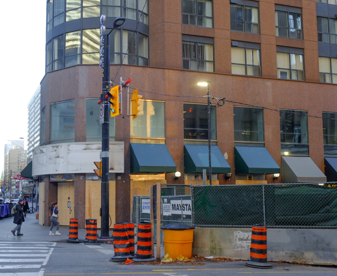
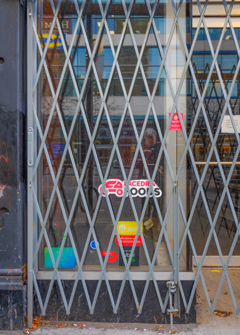
below:  Empty, boarded up and waiting its turn. Southeast corner of College & Yonge.  I have vague memories of a candy store on this corner although I think that there were a number of businesses that passed through here.

brick building with rounded edge at front, now empty, southeast corner of Yonge and College, construction at street level in front of building

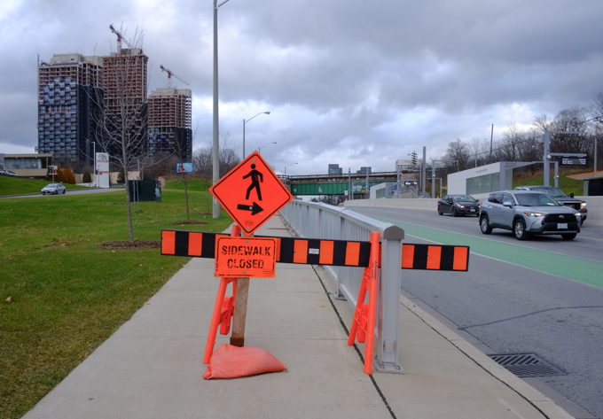
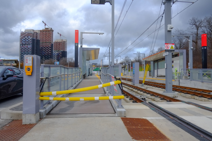
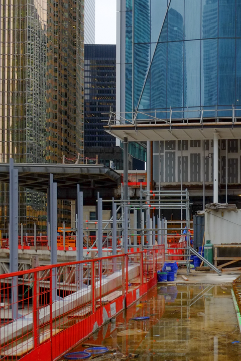
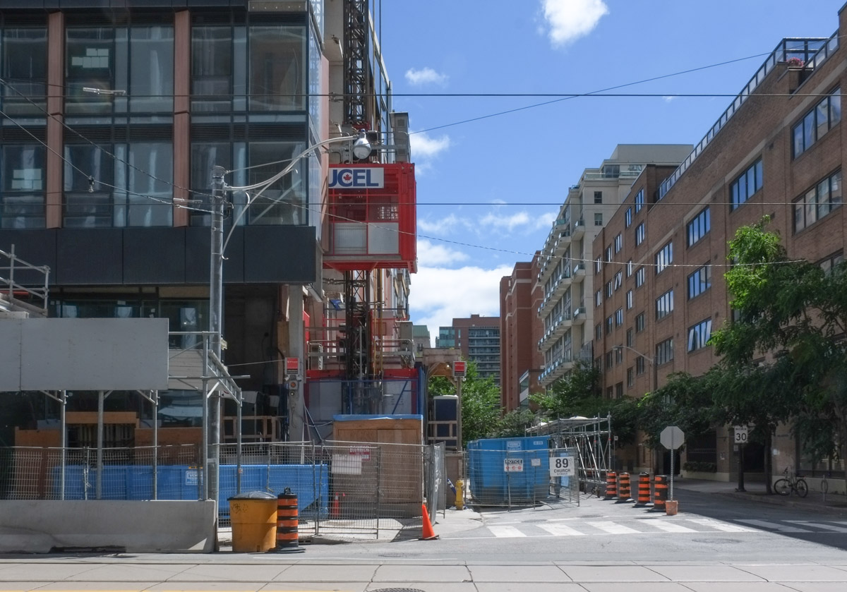
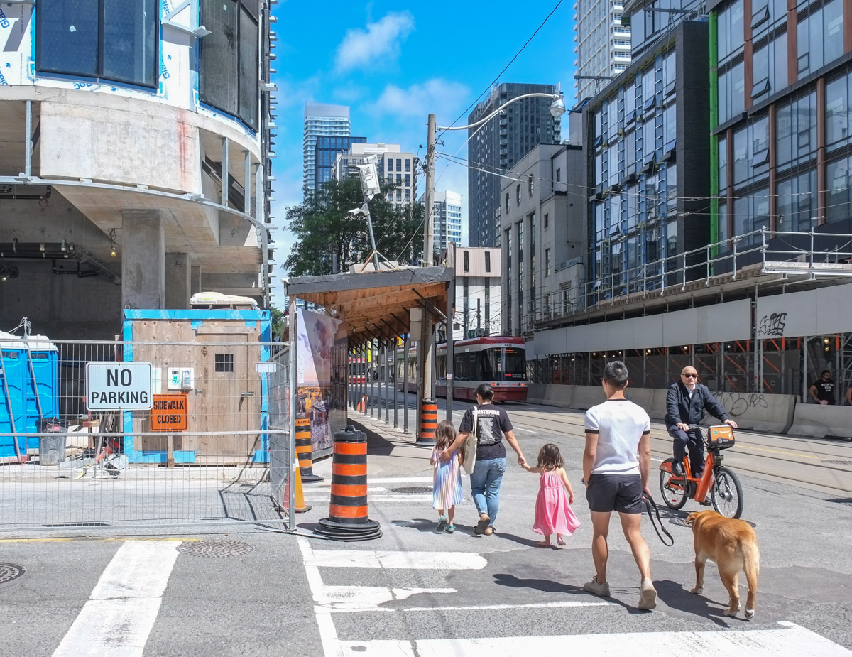
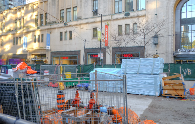
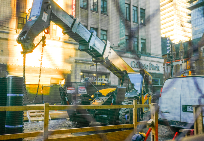
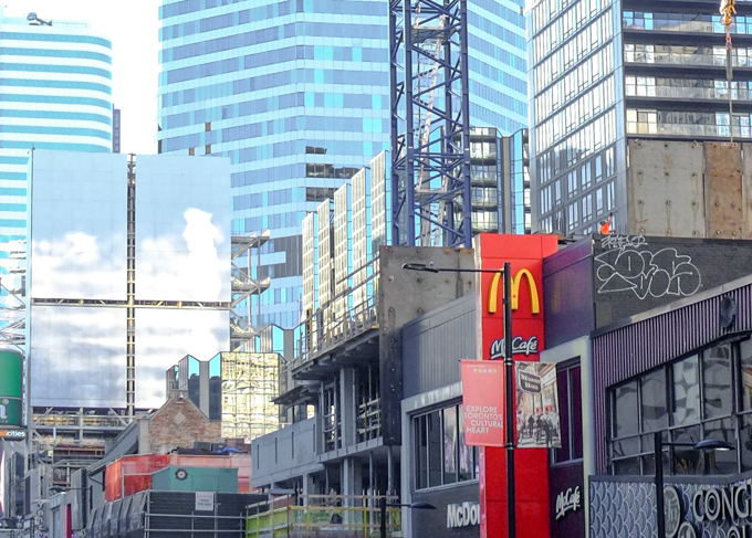
below: The east half of Yonge street in front of College Park is now a construction zone.  An additional entrance on the east side of Yonge along with more elevator service between street and track levels, is being built for College subway station.  Are there any streets in the downtown area that don’t have partial closures for construction?

small construction site on yonge street, taking up space on the street, in front of College Park shops

below: Sunspots, reflected light on the side of College Park

construction equipment

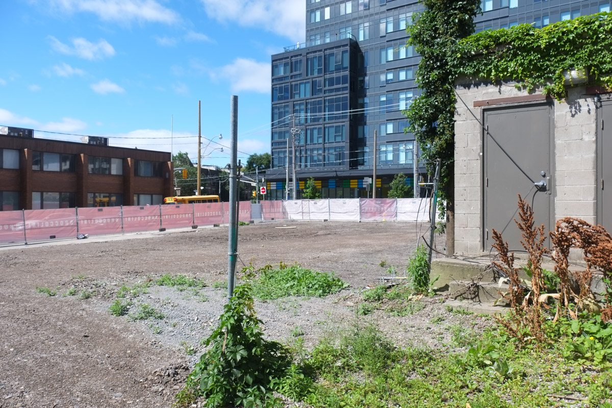
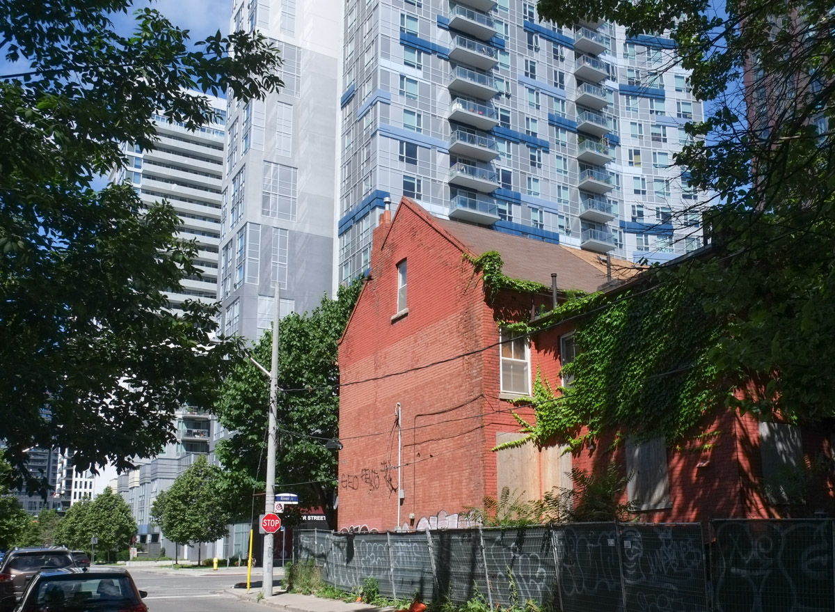
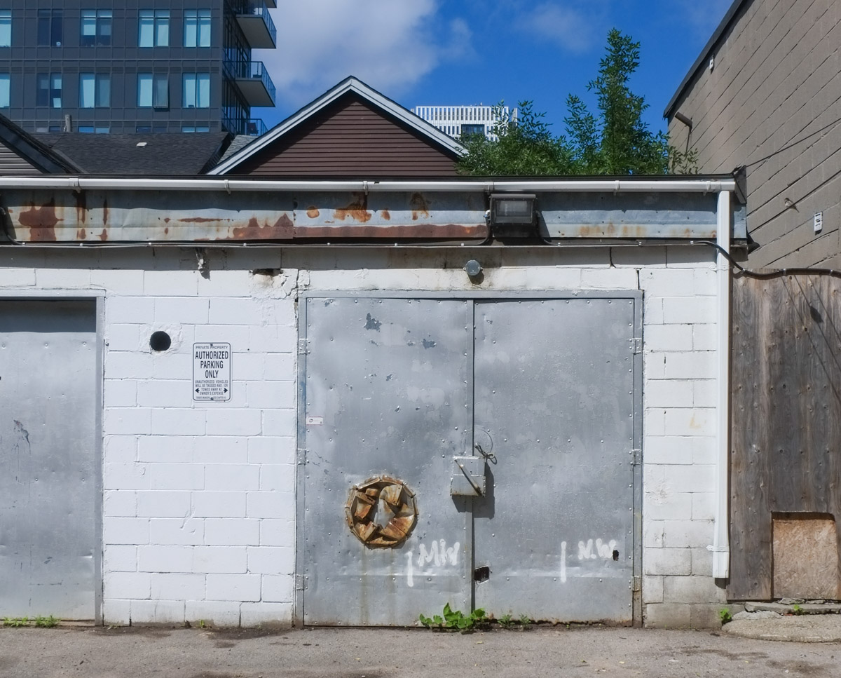
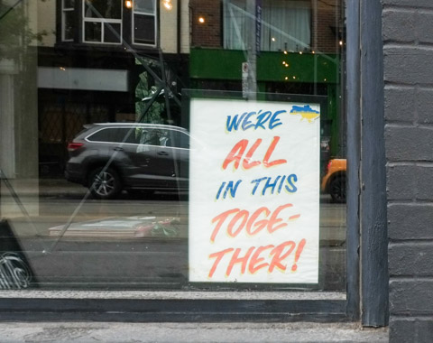
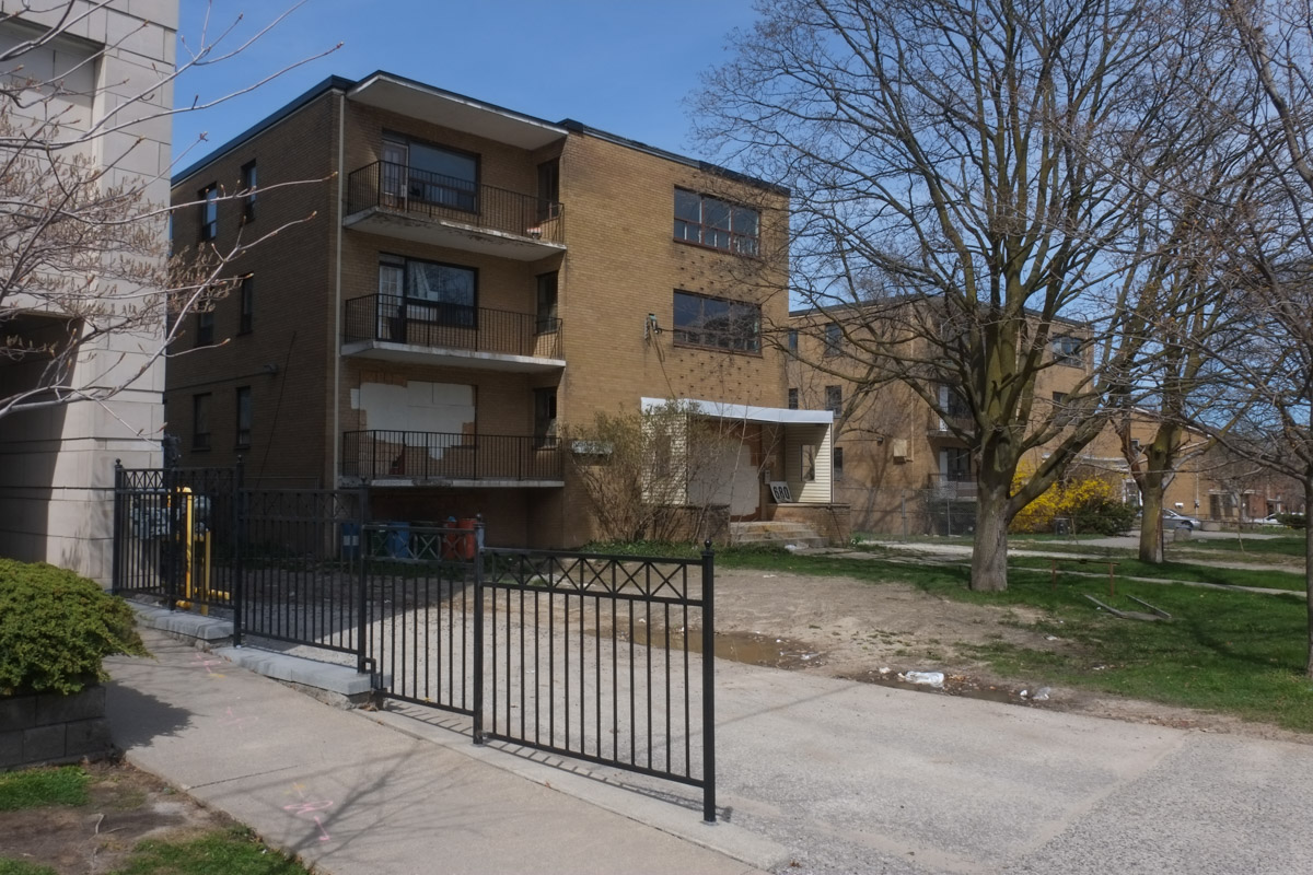
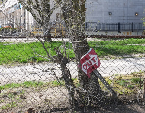
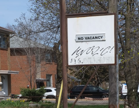
below: More emptiness, more waiting.

metal grille gate covering window of a store or restaurant that is now closed, old doordash sign in the window

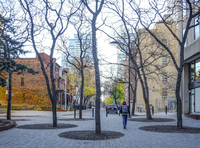
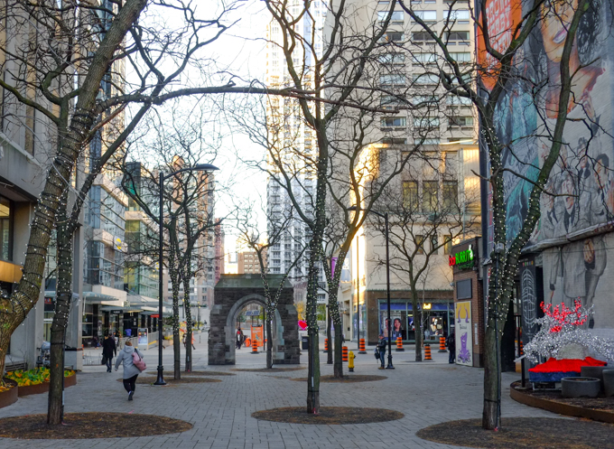
below: Granby and McGill are two streets that run parallel to College but don’t actually meet Yonge Street, pedestrians only here

person walking through pedestrian zone between yonge street and sheard street at the end of mcgill

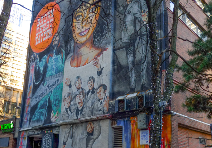
below: Looking back at Yonge Street from the same spot.  When the area was pedestrianized back in the 1980s, the city purchased added the arch.  The arch came from St. Andrews United Church at Bloor and Park Road (not on this site, moved here).  The mural on the wall, right hand side …

old stone arch remains, on yonge street near Sheard and McGill streets

… is The ‘History of Music on Yonge’ mural that covers two large walls on the same building.  This is the south side of that building.   It was painted by Adrian Hayles and features music legends who played in Toronto in the 1950s and 1960s.

History of Music on Yonge mural, south side,

Brown Derby tavern and Steeles tavern part of mural

part of History of Music mural by Adrian Hayles, group of male singers in black shirts, white ties, and black stripe on white suits

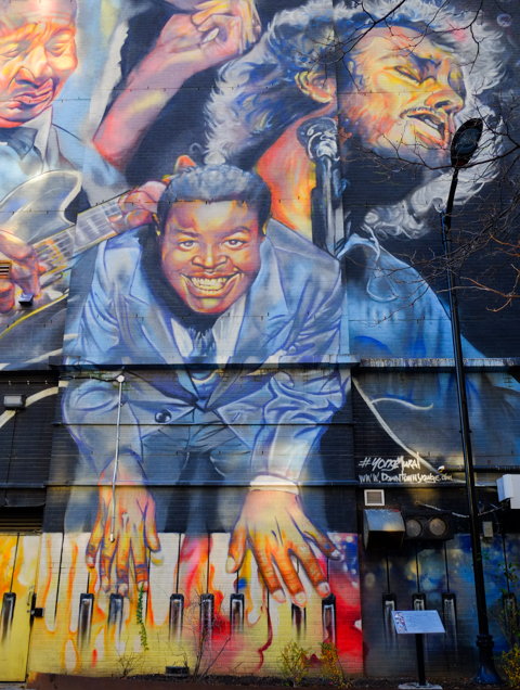
On the north side of building, the mural shows Ronnie Hawkins, Glenn Gould, Dianne Brooks, Jackie Shane, Muddy Waters, Shirley Matthews, B.B. King, Gordon Lightfoot, and Oscar Peterson.

history of music on yonge mural by Adrian Hayles, north side, Massey Hall, Gordon Lightfoot, B.B. King, piano player, tall, vertical mural

part of a mural by Adrian Hayles, piano player with multicoloured keyboard

below: Behind Yonge street, between Granby and McGill (Joseph Sheard parkette)

Joseph Sheard park in Toronto, old brick house, with many tall trees, some new condos

new condo towers downtown

below: Looking north up Yonge from Granby
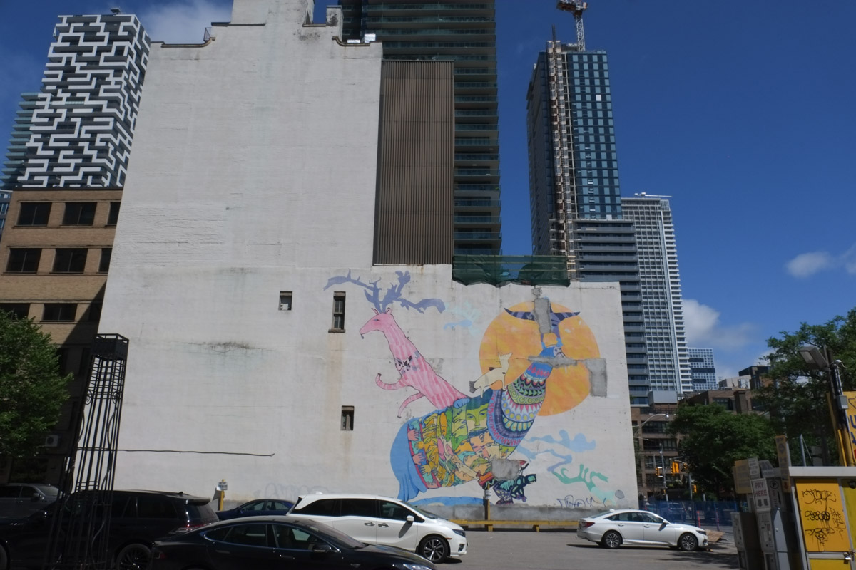
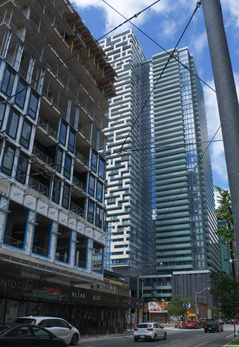
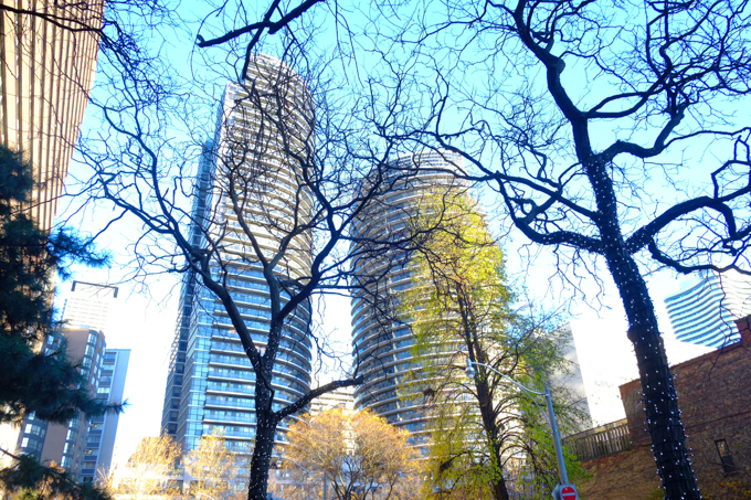
looking north on yonge from granby, just south of college

below: Aura

looking south on yonge by ikea store and fusettes restaurant

below: People on a corner… To the woman in the brown coat – A penny for your thoughts (Does anyone use that expression anymore?)

two women holding bright green coffee cups, talking to each other, man in background crossing the street,

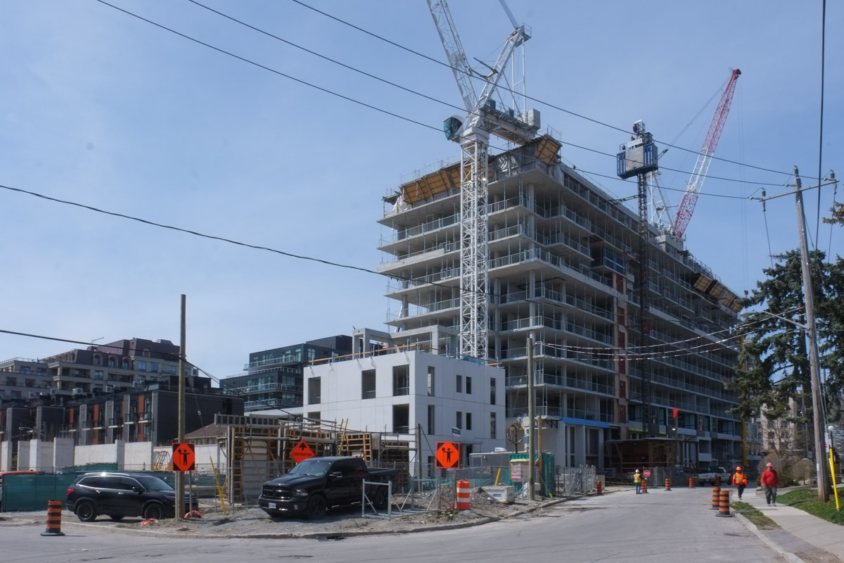
below: The southeast corner of Yonge and Gerrard is still a construction site….

redevelopment of building on southeast corner of yonge and gerrard, old facade being saved

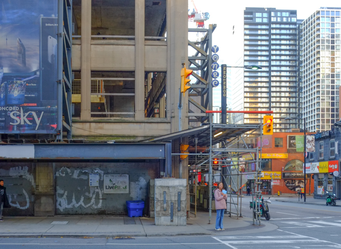
below: …. but now it is on its way up!

redevelopment of building on southeast corner of yonge and gerrard, old facade being saved

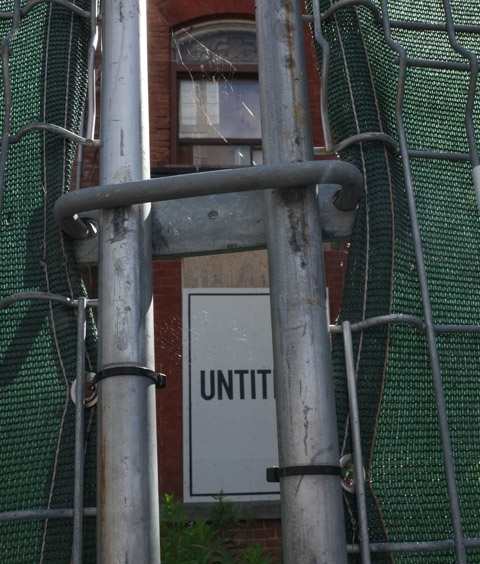
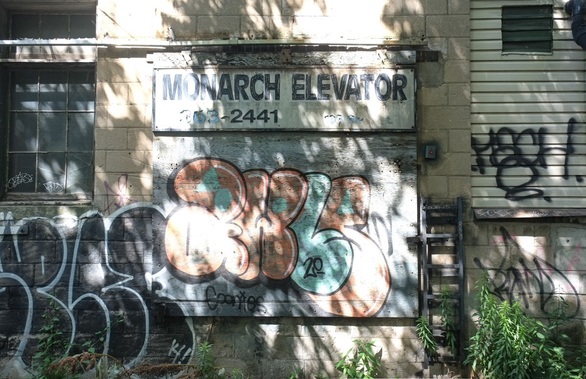
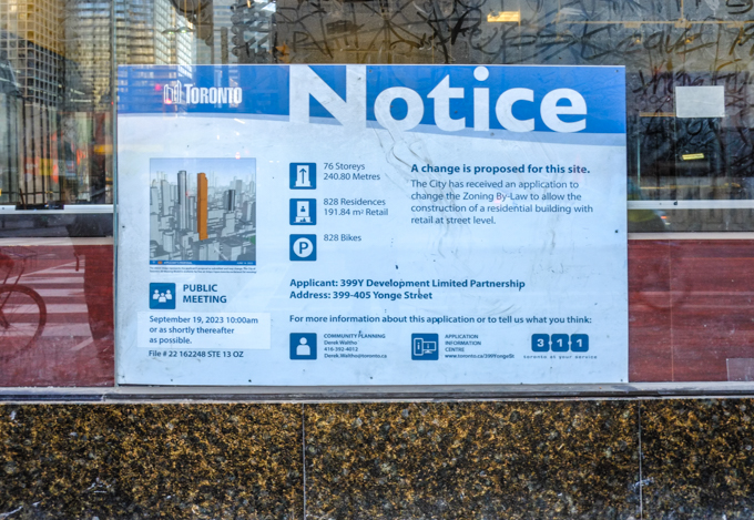
below:  On the northeast corner, also Yonge and Gerrard is an older building that is still standing… for now.  An almost obscene 76 storeys with 828 residences.  No car parking; parking for 828 bikes only.   May I recommend the elevator repair business as a career prospect for those who are looking for ideas?  Also, we could have quite the discussion about bikes and bike lanes……

blue and white city of toronto development notice sign


man talking on his phone, walks under covered scaffolding, beside hoardings with painted diagonal stripes in yellow and blue

people walking on sidewalk, approaching covered scaffolding at construction site

looking through scaffolding, to west side of yonge, older 1800s buildings with mansour roofs, H and R block, cotti coffee,

yonge street, motorbike parked outside cotti coffee

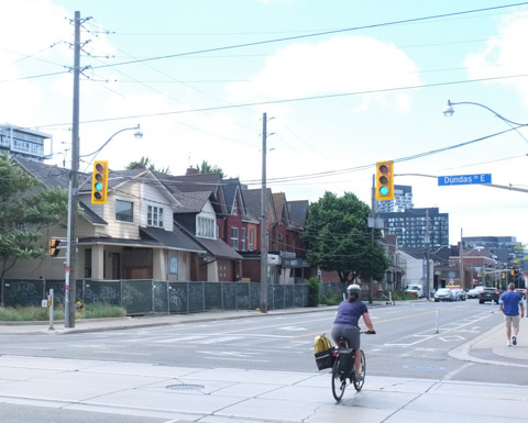
below: Looking south on Yonge from Elm

street scene, looking south on yonge from elm, towards yonge dundas square, now called sankofa square

upper levels of buildings on west side of yonge, just north of dundas, includingmcdonalds,

below: The Zanzibar Tavern glows in the morning light

view from Elm street, looking north at Yonge, zanzibar strip club glows in the morning sun, condo redevelopment on the northwest corner of yonge and elm

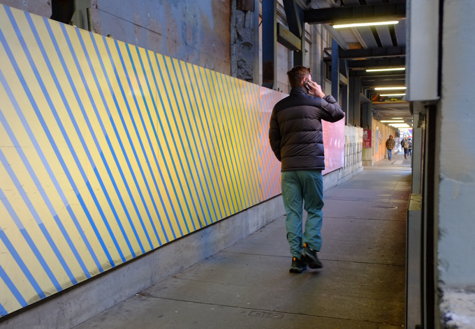
below: Hoardings around the construction site on the northwest corner of Yonge and Elm

artwork titled Homecomings on the hoardings at construction site, northeast corner of elm and yonge,

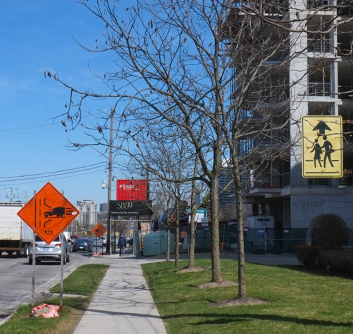
below: Orange! Even more construction on Yonge, this time the southwest corner of Yonge and Elm

elm street, south side, looking east, at yonge

below: No more pizzas here.

damaged exterior wall on now abandoned pizza pizza restaurant, orange and yellow ties on point, some missing

below: Looking west on Elm

person walking on sidewalk on elm street, walking west from yonge

below:  A quick stop at the Cong Caphe.  That’s an iced coconut coffee!!

bouquet of flowers on a coffee shop table along with a cinnamon bun and an iced coffee drink


… but finding many other things instead.

This is a follow-up to my last post about the Don Mills trail.  Remember that I mentioned that it came to a dead end just north of Eglinton?  I thought that surely someone somewhere in the city government would have looked into options re connecting the Don Mills trail to a street or another multi-use path.  The dead end is just east of Leslie, so off I went to check it out (and I wasn’t going to walk all the way to a dead end just to turn around again) .

Hey look!  There is a vacant lot at approximately where the trail ends.

cracked pavement with weeds growing up in them, vacant lot,

Did I wander back there?  Sadly not….. I didn’t have any lock cutters with me….  This was once a Sony Music building but it was demolished in 2016.  There was no development notice sign at the site (9 acres).

blue metal fence and gate, locked closed, vacant lot beyond the fence

below: This is the Sony Music (or CBS) building, built in 1959.  They don’t make them like this any more – so spread out and only one storey high.   Land must have been much cheaper back then!

older colour photo of sony music building on leslie street (demolished in 2016)

Photo credit: by Bob Krawczyk, found on ACO Toronto website (Architectural Conservancy Ontario)

When I was researching the Sony Music building online, I came across the Phoenix Centre.  That’s the name of the planned private club being developed at the old Wrigleys site next door to the now vacant lot.  If I had realized that when I was out walking, I would have taken more photos.  As it is, this is the best I’ve got:

southwest corner of old Wrigleys building on Leslie street, now OTT, low rise modern building

This building, built 1962, was included in North York’s Modernist Architecture, first published in 1997. In addition, The former Wrigley property has cultural heritage value as it is historically associated with the 1950s planning and development of Don Mills by E. P. Taylor and Don Mills Developments Ltd. (if interested, more info at ACO website).  The Phoenix Centre plan retains most of the office space architecture but completely remakes the factory space.

  There is also talk of a bridge (pedestrian & bikes?) over the CPR tracks to the Crosstown developments.   Makes sense to connect the Don Mills trail, Crosstown, and Leslie Street!

Part of the reason I didn’t take any photos of the old Wrigley building is that I had chose to walk south the day….  just south is a fire station as well as some condos.

on Leslie street, white building that is a fire station, parkland in beside it. to the south are condos, older red brick buildings plus newer glass and steel condos behind

And there is a well worn path that accesses the back of the properties.

large trees in foreground, dead leaves on the ground, autumn, new condos being built in the background, cranes,

This road doesn’t actually lead to those new condo towers.  The CPR railway tracks are in the way.  Those towers are part of the Crosstown development on the old IBM and Celestica property (access from both Eglinton & Don Mills)

long driveway, access road, with new condos under construction in the background

The road didn’t lead to the end of the Don Mills trail either… but it did lead to the back of a parking garage.  No dogs allowed and no trespassing.  No luck here.

path that runs behind beige concrete building (parking garage) with no trespassing sign)

I got a better view of the neighbourhood though….

highrise apartment buildings and condo towers

Black and white on a grey day.

two chairs, one black and one white, in a vacant lot, grassy, one tree,

As I walked back out the path, I noticed this sign.  I took it to mean the property behind the blue fence, not the property the path is on… probably?

no trespassing sign, metrus private property

It stopped munching and stared at me, trying to decide to sit and watch or to run away….  it scampered away before I could get any closer (I don’t pretend to take good pictures of animals but it looked so cute, all puffed up to stay warm).

a grey squirrel sitting on a fallen tree trunk, dead leaves on the ground, a nut or something edible between its two front paws

A very short walk farther south on Leslie brings us to the Inn on the Park site on the northeast corner of Leslie and Eglinton.

below: Inn on the Park as it once was (about 1969)  I have ‘borrowed’ this photo from another website – Jamie Bradburn’s Tales of Toronto.  Follow the link if you are interested in the story of the hotel – it’s an interesting read.  Did you know that in 1962 North York had a ban on cocktail lounges?

below: The site today. It’s now a Toyota/Lexus dealership and home to a few new condos.

old Inn on the Park site, northeast corner of Leslie and Eglinton, now a Toyota and Lexus dealership, also new condo development, still lots of green space in front

new condos being built at inn on the park site

artwork on exterior wall, solid colour shapes inside squares, 3 D, but mostly flat, shades of orange

But there are more changes coming….. (surprised?)…. more glass and steel towers by the looks of it.  The notice also states that parking is planned for 845 cars and 1860 bikes.  Does Doug Ford approve?

blue and white development notice on the corner of leslie and eglinton, with inn on the park site in background, auberge on the park condo development

sidewalk closed sign and barrier, on eglinton, northside, east of leslie

below: A sad sight, Sunnybrook Park LRT station all ready to go but no trains running. One of the Toronto mysteries, when will the Eglinton LRT open?

looking east at Sunnybrook Park LRT station on the Eglinton LRT line, no trains running yet but station is somplete, yellow barriers across the entrance

Standing by the LRT tracks and looking south. Wilket Creek park and the Thorncliffe trestle railway bridge can be seen.  I crossed the road because I had seen stairs down to the park….

looking south from the end of leslie street, across lanes of Eglinton to WIlket creek park and thorncliffe trestle railway bridge

A big new set of stairs!…. But. Not shown – the locked gate that blocked the entrance.   There is still no entry to Wilket Creek/Sunnybrook Park from this side of Eglinton.

long set of stairs downhill from eglinton to a large parking lot at wilket creek park.

looking south from Eglinton towards thorncliffe trestle bridge, wilket creek park, and ravine system,

It’s getting to be crowded….

cars traveling east on eglinton, approaching leslie, many waiting to turn left, new condo developments behind, crosstown, as well as inn on the park site

below: Crossing Eglinton and looking westward

traffic turning left from eglinton onto leslie, looking west on eglinton

New pedestrian and bike paths that provide access to the park from the north side of Eglinton have been built but they too are locked closed.  It’s very frustrating to see this infrastructure built and then left unusable.  The signs says construction danger but there doesn’t seem to be any construction happening…..

new stairs and bike path infrastructure built at leslie and eglinton that are closed, gates and signs

new stairs and bike path infrastructure built at leslie and eglinton that are closed, gates and signs

Just in case I have confused anyone, here is a map of the area that Google maps created.   Near the top left it even says Don Valley Bike Trailhead… which is very wrong.  No trailhead here of any kind as we’ve just learned.  Also it was the Don Mills trail not the Don Valley trail (the latter is somewhere else!)

google map screenshot of leslie and eglinton and vicinity

New benches! Wilket Creek Park is one section of the string of parks that parallel the branches of the Don River in Toronto’s ravine system. I’ll leave you with a few pictures that I took the other day while I was in the area…

new seating area with wood benches beside wilket creek park sign

lots of trees growing on hillside, autumn, dead leaves on the ground and none on the trees, park, railway trestle bridge in the background

path through woods beside a river, autumn, leaves on ground, small trees

view from under thorncliffe trestle railway bridge, metal girders,

last few yellow leaves on a tree, blowing in the wind

west don river as it flows under eglinton avenue

benches and picnic tables in a grassy park with many trees nearby, condos in the background

leaves in a puddle, reflections of tree branches in the water too

graffiti stickers on the back of a sign, one with Mexican flag,

graffiti on the sides of a small concrete pedestrian bridge

graffiti, large capital M with a bright pink heart

A circular walk to explore the Don Mills trail south of York Mills Road… but how to get there…. We decided to start by walking south on Scarsdale Road to Bond Avenue.

Scarsdale is a nondescript street in North York with a few churches, private schools, some light industry, offices, and all in all, a lot of lowrise late 20th century architecture.

below: Don Mills Baptist Church looking very un-church like.

below: Unmarked

below: Once at Bond, the buildings are mostly residential.

below:  There is a walk-through to the neighbourhood behind

below: The old railway bridge over Bond is now part of the Don Mills Trail.  Originally it took 6 years to build (1912 to 1918) the bridge – using six 2-foot-thick beams that span the 15-foot-wide opening, spaced to handle the weight of locomotives and heavily loaded railway cars.

Don Mills trail access point at Bond Ave.,

below: Also under the bridge is an entrance to Bond Park.

looking under a bridge to a parking lot in a park

below: Another entrance to Bond Park, this time from the trail via a hole in the fence.

leaf covered path down a small hill to a hole in a chainlink fence, and a park with seating beside a baseball diamond in the background, lots of trees

below: “Responsible alcohol consumption is allowed in this park”….rules and responsibilities are then listed along with health information about alcohol.

notice about alcohol in parks, and all the rules

autumn colours in the weeds and wildflowers beside a fence

below: A few remnants of its former life.  Once upon a time this multi use path was a spur line for the CNR, the Leaside Spur.  One of its functions was to connect the CNR main line (now also used by GO to Oriole station and beyond) to the CPR line near Eglinton.  The CPR tracks are those that cross Eglinton just east of Leslie and then cross the Thorncliffe trestle bridge over Wilket Creek Park.  The path ends just before the CPR tracks – there is no connection any more.

old rusted railway sign, small trees have grown up around it

below: Abandoned and rusting.  CNR stopped using this spur line in 1999.  The city bought the property ten years later.

old piece of metal, remains of railway switch? or some piece of railway equipment, lying on the ground

below: Crab apples and dead leaves litter the path

autumn leaves and little red crab apples cover the ground

below: Storage in bins and barrels, on the other side of the fence.

two old blue barrels, behind a fence, lots of undergrowth and weeds too

below: Left behind

discarded pair of boots, and some clothing, left on metal girders stored beside a railway track
stacks of rusty metal girders beside a railway track

below: The north end of the Don Mills Trail runs beside the live CNR line.  Not much of a view is it?  No trains passed by.  Very quiet.

looking northward up the CNR railway tracks from a hole in the fence by the DOn Mills trail.

old white barrels, behind a fence, weeds and small bushes growing up around them

below: Many, many large satelite dishes (and many small ones too).  I was feeling like a spy as I tried to take pictures through the fence… but I didn’t see any surveillance cameras…

satelite dishes behind a fence

below: Approaching York Mills Road

looking north up don mills trail towards york mills road, where there is a bridge over the railway tracks, a large pair of billboards on a tall pillar, dead leaves beside path, shrubs and weeds along the fence

below: The north end of the trail runs beside the bridge York Mills over the railway tracks (on the right in this picture).  From here there is an access road to Scarsdale on the south side of York Mills, or an exit through to Longos Plaza on the north side.

below: Have a seat!

below: Rogers has a large property on the east side of the CNR tracks and has access to this area.

With thanks to my mother for walking with me – she didn’t hesitate to climb through holes in the fence!  She also doesn’t like this picture, but it’s the better of the two that I took that morning!

Bonus section! Just in case you are interested in what’s on Scarsdale Road….

below: Colonel C.O. Dalton CSO and Colonel H.E. Dalton CSO Armoury

sign in front of building,

below: Greek Orthodox Education in Ontario – Metamorphosis Greek Orthodox School.

flags on flagpole, Canadian and GReek, in front of Greek Orthodox Education building

below: Korean Presbyterian Church

side view of front of Toronto Korean Presbyterian church, large roof over entrance, small white steeple, light grey brick building.


There are so many new buildings in Toronto!  One of them is the new CIBC building at 81 Bay Street which is immediately south of the railway tracks and across the street from Union Station.  It is also adjacent to the new GO Bus station.

below: If you take the elevator to the 4th floor of the new CIBC building,  you can access the new park.   This is the view that greets you. The park extends over the railway tracks – a great use of space!

elevated park over railway tracks that is part of cibc square development,

below:Looking east from the park (on a foggy morning, and with a spot of dirt on the glass fence).   The trees on the right mark the spot where a strip of land separates the railway tracks from the Gardiner Expressway/Lakeshore combination.  Between Yonge and Parliament there are no buildings adjacent to the tracks on the south side.    That tall splotchy looking building is the Sugar Wharf Condos which, as the name suggests, are close to the Redpath Sugar property.

eastward view from cibc park, over railway tracks, tall buildings on either side of the tracks,

below: Looking north across the roof over the railway tracks.  The gold building is another bank building, RBC (Royal Bank of Canada).  On the right, the building that looks like there are diamond shapes in the glass, is a second CIBC tower but on the north side of the railway tracks.

below: Construction continues on the north side.  It too will have a park that extends over the tracks.  The two parks should merge into one once construction is completed.

construction site, park above the railway tracks at part 2 of cibc square, on the north side of the tracks, gold coloured r b c building also in the photo

man working at construction site, park above the railway tracks at part 2 of cibc square, on the north side of the tracks, gold coloured r b c building also in the photo as is Royal York Hotel

CIBC square, park

CIBC square, park, in November

below: Westward

looking west from cibc square, red leaved plants in foreground, CN Tower in background

below: In the center of the park is a large shiny metal leafless tree.   This is “New Amalgam” by Roxy Paine (2022).   It is 72 feet high.

public art, tall tree made of metal, cibc square

public art, tall tree made of metal, cibc square, cn tower in the background

below: Looking over the covered tracks at Union Station and all the ventilation system components on the roof.

looking west from CIBC square, long railway tracks, past covered tracks at Union Station with ventilation systems on the roof, CN Tower,

looking west from CIBC square, long railway tracks, past covered tracks at Union Station, CN Tower, with construction on south side of railway tracks

below: A closer look at the nearby construction at track level (and lower).

union station infrastructure construction

There are also stairs on the exterior of the CIBC building that lead to the elevated park.

looking into a few levels of cibc building, through large windows, from exterior stairs

Bay street side of CIBC office building, west side, lower three levels with tall white pillars

below: Looking south on Bay Street where Scotiabank arena takes up most of the street scene.  That’s the Gardiner Expressway as it crosses Bay.

looking south on Bay street rom CIBC building, Scotiabank arena takes up most of the street scene,

below: Through the window to the interior of CIBC  where Steve Driscoll’s artwork shines brightly.

interior of cibc building on bay street as seen through large window from exterior stairs, glass artwork, little round tables with a couple of people seated at them

below: “A light stolen from the sun” is a collection of 12 digital prints on laminated glass.   they can also be viewed from the 4th floor but access is controlled.   Also, camera use will get you a nice chat with a security guy.  The usual, phones are allowed but even little cameras are a no no.

Steve Driscoll artwork, red and blue, trees, tall, vertical works on glass

below: An outpouring of red poppies is the stunning centerpiece in this Remembrance Day tribute (created by Fresh Floral Creations).

an arrangement of red poppies for Remembrance day in the lobby of an office building,

two women on exterior stairs by CIBC sqaure, downtown toronto

With thanks to Nancy and Merle who went exploring with me that day.

Nigel smith sign, multi coloured, with text wish you were here

The general plan was to walk River Street.   River Street runs parallel to the Don River (makes sense!) on the west side with the north end of the street just above of Gerrard.   Transit on River Street is limited (is there any?) so I started the walk at Broadview and Gerrard, just to the east of River Street.

below:  At the corner of Broadview and Gerrard is the Roman Coliseum mural that was painted in 2016 as part of ‘Around the World in East Chinatown’.  It was one of seven murals and all of them were featured in a blog post back when they were new (seven new murals, August 2016)

intersection of Broadview and Gerrard, south side, with Boba Boy on one corner and A and W on the other, street car wires overhead, street art on the walls, image of roman coliseum

gerrard, at broadview, southwest side, bus shelter, brick building with street art on it

below: Chinatown East mural by ACK crew, bacon, wunder, tensoe 2, and cruz1, on Gerrard east of Broadview.  Chinatown East is generally Gerrard east of Broadview, but we’re going to walk west today and leave Chinatown for another day.

chinese style gate on gerrard, as entrance to Chinatown East, mural with Chinese theme in the background

below: A long vacant lot on Gerrard.

fence around vacant lot beside a brick house, no trespassing sign on fence

below: Munro Street, south of Gerrard

Munro street, at Gerrard, houses, brick, trees, street scene

below: On the north side is the site of the old Don Jail and its Governor’s House.

many yellow flowers in the garden in front of the Governor's House, with plaque in the garden

Governor’s House,1888, From 1888 until 1968, this was the residence of the Don Jail’s governor (chief administrator).  Until this house was finished, the governor lived in an apartment in the central administration block of the jail.  Designed by architect Mancel Wilmot, this house features a shallow pitched roof with a front-facing gable and double-height bay window that are typical of Toronto’s late 19th century residential architecture.

below: Bridgepoint and the old Don Jail with the red brick steeple of  St. Johns Presbyterian church on Broadview in the distance.  Bridgepoint Health Hospital was built on the site of the old Riverdale Hospital which in turn replaced an older building.  The original House of Refuge was built in 1860.  The Don Jail has been repurposed as part of the hospital complex.

bridgepoint hospital, with old don jail in the background

below: Looking north from the bridge at Gerrard towards the green pedestrian bridge that connects the two sections of Riverdale Park.  Beyond that is the Bloor Viaduct.

view looking north from gerrard street bridge, railway tracks, don river, view to bloor street and beyond

below: Northwest view

very tall hydro electricity transmission tower beside bike path and railway tracks, high rise buildings in the background

below: View from the Gerrard St Bridge (over the Don River and DVP).   Looking southwest.  The tall brown buildings are at River Street.

photo taken while on gerrard street bridge over the Don river, looking southwest towards many highrise apartment buildings

below: Miniature racer, art on a pole by Joseph Lammirato.

miniature black car, toy, mounted on orange board, and attached to utility pole

… and another!  You’ll find lots more on his Instagram page (@joseph.lammirato)

below: Flower Power happiness

sunflower with a happy face, pasteup on canada post mailbox

below: The north end of River Street (north of Gerrard)is showing signs that redevelopment is in the works.

old brick houses with for lease signs in the front yard

old brick two storey houses with front porches on river street, empty, boarded up with plywood waiting for demolition

graffiti tags on plywood used to board up windows and doors on empty old houses

below: If you are driving north on River Street, chances are you are headed down the hill to the Bayview Extension.  The alternative route is a small street that swings left and joins up with Spruce Street.

small houses on Spruce Street, including one that is painted blue, with white gingerbread trim under the eaves, also a modern house in black

below: It also leads to access to Riverdale Park. – there’s that green pedestrian bridge again.  From here you can see Broadview Avenue on the other side of the ravine.

view of Riverdale park with green pedestrian bridge over the DVP and Don River
orange tiger lilies in bloom along a chainlink fence beside a path near River street and spruce street

below: Back to River Street, and let’s head south.

River street street sign, with a no left turn sign under it

below: St. Sava, Serbian Orthodox Church.

St. Sava, Serbian Orthodox Church at Gerrard and River, with tall apartment buildings behind

below: Walking past some of the older Regent Park brick buildings that still remain.   The intersection of Gerrard and River streets marks the northeast corner of the original 1940s and 1950s Regent Park development.

regent park, southwest corner of gerrard and river streets

ivy covered exterior walls of Regent Park apartments,

About 20 years ago, redevelopment of the area began.  The work was divided into five phases.  Phases 1 and 2 have been completed while the third phase is either close to completion or has just been finished.  There is a lot of information online so you should be able to find many more details if you want.  I didn’t feel like going down that rabbit hole!

contrast of old Regent Park residences with newer developments

couple walking a dog on River near Oak street, with three high rises in the background

below: I was surprised at how much variety there was in the housing that I saw.

a row of three storey houses on river street, bay and gable style,

cornwall street row houses, with highrise behind

looking down a private road at a townhouse development

below:  Queen City Vinegar Co. Ltd. factory built in 1908 and converted into lofts (residential) in 2008.

entrance to building, door with stone lintal and decorations

wood railing on a porch, old paint, white, brick house,

blue and white development notice on behind a bent railing on a boarded up building

below: Stalled development (Dare I say arrested development?)  According to the development notice sign, the original file dates from 2017.  Even by Toronto standards that is slow!

red hoardings around vacant construction site

below: Behind the red hoardings is just a vacant lot.  Nothing seems to be happening here.  When I said arrested I was not implying anything criminal…..

vacant lot on river street, buildings already demolished, stalled redevelopment

below: Of course the CN Tower can be seen here too!  This is the view along Shuter Street.

looking west on Shuter street from River street, with cn tower in the distance

cyclist on bike, traveling south on river at dundas, row of houses in the background

below: Dundas, looking west towards River Street with tables in front of Bevy Coffee. The slightly darker brick building was the Adam Beck Box Factory where cigar boxes were once made.  Like the Queen Vinegar Company mentioned above, this building has been converted into lofts (Tannery Lofts, mis-named as this wasn’t a tannery! But it does sound sexier than Box Lofts!).

dundas east approaching river, looking west, bevy coffee shop on the right side, with picnic tables on the sidewalk outside

below: Similar location, but from the parking lot and alley behind – brick building is the Tannery Lofts

back of buildings on river, large condos, lowrise brick old warehouse, back of car dealership on dundas

below: 1930s view of Beck’s cigar box factory

black and white photo from the 1930s of Adam Beck cigar box factory, three storey brick building with cars parked in front

below: Monsters ready to box

mural on large door at back of building on dundas east, blob like monsters in different colours, all wearing white boxing gloves, large white eyes and scowling faces
behind hoardings, boarded up house with graffiti sign by Nigel Smith that says untitled

below: River Variety is no more.

old river variety store, in a ine of rowhouses, boarded up and hoardings in front

below: No more gyros or poutine here.

empty buildings behind green construction fence, boarded up and waiting to be demolished, river street

empty buildings behind green construction fence, boarded up and waiting to be demolished, river street

below: At Mark Street, more old and new

mark street approaching river street, side of red brick house, with new condo in the background

an alley, with lots of greenery from trees and shrubs, back of red building,

below: Every child matters

on a red wood garage wall, in blue spray paint, text that says every child matters, on god

old sign for monarch elevators, in an alley, with lots of shadows, graffiti on wall too

garage in alley, white concrete block with grey metal door

below: West side of River Street, at Queen

River Street, west side at Queen,

below: Old photo from 1914, working on the Queen Street bridge over the Don River, looking westward towards River Street.   The light coloured bank building is still on the southwest corner (see above photo).  The red brick structure on the northwest corner is also still standing, although an additional storey has been added to it.

old black and white photo of men working on the queen street bridge over the don river

photo credit: City of Toronto Archives

below: Looking north on River Street from King.  South from here River becomes Lower River.

view looking north on river street, from king street

below: Part of the mural on the side of Toronto Humane Society (Queen & River) painted by Uber5000

from a mural by uber 5000, an image of a large white and grey dog, tongue hanging out of mouth, happy face,

below: Parked in the bike lane.

blue car parked in the bike lane on river street

Note: River Street is serviced by TTC bus route 121 that runs between Gerrard (just west of Broadview), then down River to Queen before heading west to the Esplanade and Union Station.


Northbound, starting at King…  where this large mural still shines.  Piliriqatigiingniq was painted in 2015 (see link for more info)

part of a mural on a large white wall, a pink animal with blur antlers, also two windows in the wall

below: A yellow parking lot attendant booth, a throwback to an older, less digital age.  Back before machines and parking apps on your phone changed our lives.

old yellow parking lot attendant booth in a parking lot on church street

below: Looking west on Court Street through to Toronto and Victoria Streets (and beyond).  A wide range of sizes and styles all mixed up together.

looking west on Court street from church street, highrises

looking west on Court street from church street, highrises

below: The omnipresent condo construction and ubiquitous summer roadworks can be found here too!

a woman carries two bags full of shopping as she walks on a sidewalk beside a blue construction fence in downtown toronto

below: Lots of glass on the northeast corner of  Church & Lombard –  This section of Lombard is also Gilda Radner Way.

new construction on the northeast corner of church and lombard, also called gilda radner way

below: The view on Lombard, looking east from Church. Lots of midrise buildings.

lombard street ooking east from church, new construction on the northeast corner, row of midrise apartments on the south side

below: Crossing Lombard.  Looking north up Church Street

people crossing street

below: Church & Richmond, northeast corner.

church and richmond, northeast corner, ttc streetcar headed north, wild wings,

below: Church & Richmond again but from a different angle, south side of Richmond with McVeighs Tavern on the southwest corner.

church and richmond, southeast, people on southwest corner, streetcar headed north,

below: Flags flying over the entrance to McVeighs (“since 1962”) – a little bit of Nova Scotia and Newfoundland & Labrador.

below: West on Richmond.

looking east on richmond street from church street

a lane off church street

below: A stretch of Church Street was known for its pawn shops and many still remain.  Here we have Simon’s Pawnbrokers as well as two “exchanges”, Five Star Exchange and Toronto Exchange.

pawn shops on church street

big red pawnbroker sign on a building

below: Balconies old and new.

below: Can you tell where this picture was taken?  A little bit of Toronto love on a mailbox on the corner of Church and ???

graffiti sticker on a Canada Post mailbox, I green heart Tdot

below: Peeking over the mail box above is the yellow of the old Shwarma King on the northeast corner of Queen and Church.  It is now being demolished.

northeast corner of Queen and Church, yellow tower on yellow building now being demolished

scaffolding and hoardings in front of a few buildings on church street, awaiting demolition and redevelopment

below: The side of Metropolitan United Church.

below: The north end of Metropolitan United with St. Michaels Hospital behind it (just south of Shuter).

below: More of the mural as well as St. Michaels Cathedral on the other side of Shuter Street.  The mural is “Paint Your Faith” by Elicser, Chor Boogie, Mediah and Siloette

Church and Shuter, St. Michaels cathedral with St Mikes hospital in the background

below: St. Michaels RC Church in the foreground, looking north along Church St.

below: Many more facades that have been preserved during redevelopment.

older brick buildings whose facades were saved when redeveloped and condos built on top

below:  205 Church Street with its green awning; Its neighbour may be feeling the squeeze, just south of Dundas.

house between two larger buildings

below: Looking east on Dundas

looking south on church street

below: Northeast corner of Church and Dundas.

below: Westward along Dundas towards the Bond Place Hotel and its tall blue mural celebrating health care workers and their dedication during the COVID pandemic  (and since?)

looking west on Dundas from church street as a white bus passes by, Bond Place hotel, with a large vertical mural dedicated to health care workers.

below: mmm

… a little bit of Queen Street West

sticker on the window of a restaurant that says proudly parkdale

no parking sign, and parkdale village street sign for Queen st w, on a pole

parkdale architecture, old bay windows, oval glass,

below: These late-19th and early 20th century commercial buildings along Queen Street West with their display windows are part of the Parkdale Village Heritage District.  The 2022 draft plan for this district describes this row as  Edwardian Classicism style.  The plan is more than 160 pages long but in case you are interested in the history (and politics?) of it, here’s the link: Parkdale HDC plan (a pdf )

row of brick apartments and store fronts at ground level.

below: South side of Queen West, looking west from Jameson

queen street west, south side of street, west of jameson, row of three storey brick buildings, stores,

below:  A broom for $8.99.  $7.99 will buy you a pair of crocs or six tall glasses.  Chili sauce, lights shaped like lotus flowers or Buddha, wicker baskets, espresso makers, mixing bowls, and frying pans also available!

looking in a store window with many items on shelves, boxes of things, shoes, crocs, a broom,

below: Lightning alert! It’s a potato, no, it’s a cloud!  Or maybe a lightning bug!  Small metal street art by Rocky Zenyk

small metal street art by rocky zenyk screwed onto a wood utility pole, blue background, orange cloud and 5 streaks of lightning emanating from the cloud

sign in a restaurant window that says we're all in this together

people walking past an empty store front in parkdale

on a corner, TTC streetcar approaches a stop, with TD bank in background and people waiting for the streetcar

orange lilies growing in a planter on the sidewalk on queen west, street car in the background

a young woman and her phone, waiting in a bus shelter in parkdale

below: Where the aliens hang out on a hot July day!

exterior of small building painted made to look like an ice cream store with big window and awning, aliens are buying and eating ice cream, also an alien dog on a leash

below: Scaffolding in front of the church – Epiphany and St. Mark Anglican church.   The octagonal belfry is being repaired and restored with the help of a 2024 Toronto Heritage Grant.  It is considered to be Gothic Revival style.  The cornerstone laid October 1880 and the first service in the church was held in January 1881.  The gateway was added much later.

Church of the epiphany, St. Marks, with scaffolding over the entrance

below: Hope over the entrance to the community garden at Masaryk Park

community garden in a park, with sign made of wood that says hope, over the entrance

below: Arty metal panels line the south wall of Masaryk-Cowan community center.  Bonar-Parkdale Presbyterian Church is in the background.

metal 2 d sculptural shapes on brick wall, exterior, presbyterian church in the background, highrise on the left

below: Notice for redevelopment of Parkdale Library and Masaryk-Cowan community centre site.

blue and white city of toronto development notice for queen west and cowan, redevelopment of parkdale library and masaryk cowan community centre

part of mural celebrating 136 years of sunnyside beach

below: Queen Fresh Market

Queen Fresh Market on Queen West, with fruits and veggies and plants for sale, displayed on sidewalk

below: A unique building topper – North side of Queen, at Dunn.

Queen West, old buildings in Parkdale

below: $25,000 winning ticket sold here! Hopes and aspirations… and Canada Dry.

window of a convenience store in parkdale, atm machine, coke and sprite ads,

below: More details on brick buildings on Queen West.

three storey red brick buildings in parkdale, on queen street west

below: Standing alone

3 storey red brick building in parkdale, standing on its own, now Daol Korean restaurant on the ground floor

people standing on sidewalk waiting for a green light, older brick apartment building behind them

below: Tiny Cafe

tiny cafe, a small yellow building with a red and white sign, large window in front, beside an alley in parkdale

upper part of a house with a large canadian flag as well as some paintings on display

balcony on a high rise apartment building that has a large Canadian flag

below: Murals and street art in an alley.  Butterflies and monochrome daisies

street art mural in a parkdale alley

below: Emily May Rose mural in an alley – women, we come in many shapes and sizes.

street art mural in a parkdale alley

below: Hello Kirsten on the far left

street art mural in a parkdale alley, hello kirsten

below: A mural painted by Chief Ladybird.  Mother and child finding peace in the city.

street art mural in a parkdale alley, seated woman holding baby, by chief ladybird

street art mural in a parkdale alley

mural on a garage door in an alley, curvy line drawings of women faces and heads

street art mural in a parkdale alley

below: Face in the alley

below: And more faces, Picasso like faces and body parts.

mural on brick wall in laneway, parkdale, round characters, faces mostly, in many colours

below: Muisca

street art mural in a parkdale alley

below: Elicser – so many faces merging into one.

street art mural in a parkdale alley, multiple faces in one, by elicser lliott

below: Monica on the moon – “Over the mountains; Under the stars”

street art mural in a parkdale alley, person on a motorcycle with text over the mountains and under the stars

street art mural in a parkdale alley

graffiti on a door in an alley, shape of a large blue bird in profile

below: A few reminders of Parkdale’s grander past on the quieter side streets – lots of old trees and some houses that remain as they once were.

pale yellow brick parkdale house with picket fence, gravel driveway, large front yard, and old garages in the back

maroon brick house with white gingerbread trim, attached to another brick house, orange colour, and beside a larger white brick house

beige brick house with red front door, between two other houses that re obscured by trees and large shrubs

two storey house behind a metal gate

brick house with curved porch with white trim and white railing

brown metal gate in front of a walkway to the front of a house

below: A little bit of religion and a little bit of social justice at the end.

build social housing poster

man in white clothes, standing on sidewalk, by dollarama store

Were you an Edmonton Oilers fan?  Did you jump on that bandwagon?  On the night of the 7th game of the Stanley Cup playoffs were you glued to the TV?  Or are you wondering what I’m talking about?!

I usually watch hockey games now and again, especially during the playoffs but I found that watching the Edmonton-Florida series was just too stressful.  Instead, these long June evenings are great for walking!  A little bit of Yonge Street, Uptown Yonge, was my stomping grounds the evening of the last game.

banner for uptown yonge on a hydro pole, stores and new condo in the background, says eat up. street sign for st. Clements avenue as well

A few scenes from Yonge between Eglinton and Sherwood, in no particular order…

evening, coffee shop on Yonge street, also poke bar,

below: Old and new. I like the way the evening light catches the architectural details along the rooflines.

roofline, old brick buildings with architectural details in front of a newer high rise residential building

below: Playing peek-a-boo.  The new pushes from behind.

stores on Yonge street, prism hair salon, vape studio, goa hair salon,


below: Seating!

late evening, getting dark outside, looking at store front, cobbler's corner shoe repair,

ceiling art, white and green cubes with lights inside

round exterior wall of part of rio can yonge eglinton centre, short glass tower,

metal grille gate covers glass doors of now empty and closed store on yonge street

below: Northwest corner of Yonge and Eglinton, Yonge- Eglinton Centre with its updated glass facade.

yonge eglinton centre entrance

When the Yonge Eglinton Centre was built in 1968, Eglinton was the last station on the TTC subway line.  The Y-E Centre was a large development, and was the tallest building in the neighbourhood.   There was a shopping centre, a cinema, an office tower, two tall residential towers, most of which still remain.   Eglinton is no longer a gateway to suburbia; it is Midtown.  The Y-E Centre is just another tall building in a sea of them.

side of concrete building from the 1970s, Yonge Eglinton centre

tall concrete building

below: The new entrance to the Eglinton LRT (unopened of course)  with the Canadian Tire headquarters behind.  Southwest corner of Yonge and Eglinton.

southwest corner of Yonge and Eglinton, new entrance to Eglinton LRT (unopened), Canadian Tire head quarters building, 1970s concrete, new condo behind

Lament for the Eglinton LRT.  Metal fences and torn cloth.  In tatters and disarray.   Still not opened.

front glass of eglinton LRT station, behind metal construction fence and torn green cloth

stores on yonge street

sidewalk tunnel under scaffolding to protect from adjacent construction site

restaurant window, night time, sidewalk

Maybe one day I will be able to walk somewhere in this city and not run into another hole in the ground.  Note the usual – facades being saved, single houses that stubbornly remain.

construction hole in the ground

gravel roadway down into construction hole in the ground

Bus stop all tied up in knots.

TTC bus stop on yonge street behind orange and black cones and yellow caution tape

mural on the side of bmo bank on yonge, flowers, male face, female face, child face, dog, and lot lots of flowers

white car parked in front of a mural with flowers with many petals, and a woman's face

artwork on glass above subway entrance at canada square, corner of yonge and eglinton, a woman is carrying a potted plant, a man in green shirt with tattooed arm is looking at her

three plants in flower pots on a shelf in a room with a blue light, on the left is an orchid,

below: With some paparazzi stalker vibes I’m afraid.

… Back home in time for most of the third period…. Sad to see Edmonton lose, but why is there hockey this late in June?

Bessarion subway station has always had the reputation of being one of the least used stations in Toronto.  I haven’t seen any recent numbers, but I suspect that a lot more people are now using the station.   There are a lot of development changes happening in the area so the numbers will only increase in the future.

below: South entrance to Bessarion station

entrance to bessarion ttc subway station on sheppard at bessarion, new high rise condos behind it, street scene

corner of bessarion subway station in the foreground, new community center on the right side, and construction of new condos in the background

below: A Stop sign sits in the middle of one of the entrances to the new development on Sheppard Ave East beside Bessarion subway station.  If you follow the left fork in the road, you will end up in the parking lot of the Canadian Tire store.  This store is all that is left from the original 50 acre site that was home to a Canadian Tire warehouse and distribution centre.  In 2000 Canadian Tire filed a plan to re-develop the whole site, including a new head office tower for the company.  Although the plan was approved, it never came to be.  Instead, most of the land was sold to Concord who is now in the process of redeveloping it.

new development on sheppard ave east

below: Concord has filled this community with a lot of public art including these colourful creations, “Jax” (2021) by Pierre Poussin

brightly coloured public ark in concord park place on sheppard avenue

below: A few maple leaves forming a canopy – “Maple Leaf Trellis” by Demakersvan (aka brothers Joep and Jeroen Verhoeven)

sculpture that looks like a canopy of giant maple leaves

below: Leaping Lamp by Inges Idee (a German artist collective)

leaping lamp, a large green sculpture by ingres idee of a lamp post with two very long legs as it walks over a stone wall

below: There is also a rabbit (title: “Rabbit”),  another artwork by Inges Idee.  It’s made to look like a folded ribbon of highway; it sits next to the 401 highway.

rabbit, a large sculpture by ingres idee, looks like it's made of a road all twisted into the right shape, outside new condo by the 401 highway

rabbit, a large sculpture by ingres idee, looks like it's made of a road all twisted into the right shape, outside new condo by the 401 highway

below: Birds hanging out together between Bessarion station and the new community centre.  They won’t be flying anywhere any time soon!

sculpture that looks like birds on a tree, including an owl looking out of a hole in the tree

close up of part of a sculpture with birds on a tree, showing owl looking out of hole in tree, woodpecker beside the hole

below: A small bird, a continuation of the tree full of birds, sits outside Ethennonnhawahstihnen’ Community Centre (it’s pronounced Etta-nonna wasti-nuh and it means ‘where they had a good, beautiful life”)

reflections in the window of a community centre, with small sculpture of a bird sitting outside the window

below: Real trees ready to plant.

trees with roots wrapped in burlap sitting on the ground, waiting to be planted, a row of condos newly built in the background

below: A line of towers with row houses on the lower level marks the south side. The 401 highway is behind. A new park, also Ethennonnhawahstihnen’, lies in front of the new residences.

below: Water feature in the summer, outdoor skating rink in the winter

concord development on south side of sheppard, on old canadian tire warehouse site, a curved shallow pond with a walkway around it, a small white building beside it, condos and new construction in the background

park in the center of condo development

tall glass and steel condo, one side clad in bright green

below: The view from the southeast corner of the property – the back of IKEA and the 401!

back of ikea on sheppard in north york, 401 highway,

below: At least there have been a lot of trees planted back here and some thought has been put into using the landscaping to mitigate the noise from the 401.  But the fact that thousands of cars and trucks pass her every day can never be downplayed.  I hope that the units are well sound proofed.  Having stood on balconies on other buildings that overlook a major road, I can imagine how noisy it is here too.

newly planted trees along a pathway beside the 401 highway

new condo development with a bright yellow rectangular section around a large window

the words slow down have been spray painted on a concrete barrier in front of a row of new townhouses

below: Looking southeast from Burbank

looking out of ttc bus shelter at burbank and sheppard

below: South side of Sheppard

view on sheppard, looking east near bessarion subway station

wrong way sign by driveway in front of medical building on sheppard

below: The north side of Sheppard Ave looks like this – a row of lowrise apartment buildings from the 1960s or 1970s.

lowrise apartment buildings on north side of sheppard

below: There are 2 major redevelopments proposed along here, 680-688 Sheppard and 690-720 Sheppard. Both involve condo towers.

development notice on front yard of a multiplex residential building on sheppard avenue

crumpled red and white sign says out, pole askew, between fence and tree

sign for apartment building, empty except for no vacancy and a graffiti scrawl

Just west of Bessarion station is Greenbriar Road.  There was a small community of single family homes, duplexes, and small apartment buildings back here.  Almost all of it is gone or on the way out

construction south of sheppard ave

below: A single, lonely, holdout surrounded by newer residences.

one older brick house surrounded by newer and taller residences

A 1970s brick bungalow in the foreground, new townhouses in the background

below: No sign?!

two brick duplexes, semis, or side split houses, with 5 towers of new condos behind

below: Southeast corner of Sheppard and Greenbriar  (12 storeys, 145 residences)

development notice on the frontyard of a house on corner of sheppard and greenbriar

below: There is a development notice sign on the front yard of 25 Greenbriar (23, 25, 27 and 29 to be replaced with 10 storeys, 169 residences).

orange sofa on a driveway in front of a garage between two brick buildings

large grassy backyards of two houses, one has an old swing set in the yard

below: A little farther south on Greenbriar the fences are already up (22-36 Greenbriar, 24 storeys, 351 residences).

house on Greenbriar, empty, with construction fence around it and blue and white development notice beside the fence

bessarion subway station

a woman walks eastward on sheppard near bessarion

Extra note: The northeast corner of the old Canadian Tire acreage, at 1181 Sheppard Ave East, remains undeveloped.  It is the last piece once owned by Canadian Tire.  It is adjacent to the Metrolinx rail corridor, about 100 m from the new Oriole GO station.  [ed note: Prime real estate by the sound of it!].  Two towers will probably get built here, once the heights are finalized.

And now for something completely different..  something very yummy!

I stopped at Sunny Foodmart on Gateway Blvd because I needed something quick for lunch after a walk.  I was amazed at what I saw.  I have been in Asian grocery stores before but this was so much more.

below: Obviously she is over-dressed for the hot weather that we’ve had this week! Photos are from a couple of weeks ago 😄

woman shopping in grocery store

below: Pani Puri originally from India or Pakistan, sort of like samosas but round.  Fried dough balls stuffed with good things.

Pani Puri and other Asian foods for sale, interior of Sunny Foodmart grocery store

below: Quite a selection!  Wasabi, soy sauces, teriyaki sauces, sukiyaki sauces, rice vinegar, oyster sauce, and many labels that I can’t read.

shelves of bottles, grocery store interior

below: More bottles, more sauces. Sesame oil, apple cider vinegar, and cooking wine too.

shelves of bottles, grocery store interior

below: Filipino spaghetti sauce – I had no idea that that was a thing!  And the packaging is bilingual English/French!

packages of filipino spaghetti sauce for sale

below: Chaat is another new word for me.  It’s another food that originated in India and has spread as street food in many south Asian countries.  In the freezer below you’ll find sausages, fish balls, Chicharon Bulaklak (pork ruffle fat), smoked herring, and dried danggit (a type of fish from the Philippines, also called rabbitfish or spinefoot fish).  In case you’re wondering what  ruffle fat is, it’s not actually fat… Chicharon Bulaklak  is made with the mesentery (or the connective tissue that joins the internal organs together).  It’s salty and crunchy apparently.  No, I haven’t tried it!

Chaat, Chicken Tikku,Asian foods for sale, interior of Sunny Foodmart grocery store

below: Bags of dried hawthorn, dried orange peel, dried lily bulbs, and longan berries, along with white pepper, cardamom, and aniseed.  One of bags is labelled as amomum tsao-ko which is also known as black cardamom.

dried hawthorn, dried orange peel and Asian foods for sale, interior of Sunny Foodmart grocery store

below: Freezers full of goodies – corn on the cob, scallion flower rolls, assorted dumplings, and golden saba bananas (short stubby bananas from the Philippines).

frozen foods in a freezer, Asian foods for sale, interior of Sunny Foodmart grocery store

below: More frozen food – udon noodles, lamb rolls, lobster rolls, and bean curd.   Boxes of coconut milk are stacked on the other side of the aisle.

frozen udon noodles and other frozen foods, Asian foods for sale, interior of Sunny Foodmart grocery store

Asian foods for sale, interior of Sunny Foodmart grocery store

below: That’s a lot of hoisin sauce!

large bottles of hoisin sauce, Asian foods for sale, interior of Sunny Foodmart grocery store

below: Floor to ceiling jars, bottles, and cans including cans of green jackfruit still in the box.

Asian foods for sale, interior of Sunny Foodmart grocery store

below: Pork pieces, feet and hocks

part of meat counter, interior of Sunny Foodmart grocery store

below: Colourful veggie jars. Red peppers, sliced pickled jalapeno peppers, pickled wild cucumbers, white asparagus, peas, pickled white cabbage, and roasted eggplant.

glass jars of preserved foods, Asian foods for sale, interior of Sunny Foodmart grocery store

below: There were a couple of aisles of bags of rice stacked in piles on the floor.  Thai jasmine rice is pictured here.

large bags of rice stacked in aisles of grocery store

below: Marjan rice from the foothills of the Himalayas (Pakistan) as well as Basmati rice.

large bags of rice stacked in aisles of grocery store

below: No grocery store would be complete without a candy section – orange, mango, peppermint and ginger chewy candies.  Lollipops.  Ricola in the original herbal formula.  And don’t miss the Super Lemon or Super Cola candies!

candy from different countries for sale, peppermints, ricola,

below: Pizza snacks (very Asian!) and shrimp chips.  Honey butter chips and sweet potato snacks.  On the bottom shelf, want want crackers – part sweet and part salty and totally yummy!

shrimp crackers and Asian foods for sale, interior of Sunny Foodmart grocery store

My apologies.  All photos were taken with my phone so the quality may be questionable especially after reducing the resolution a little before uploading them.   I hope that you still enjoyed the tour!