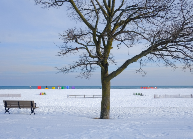
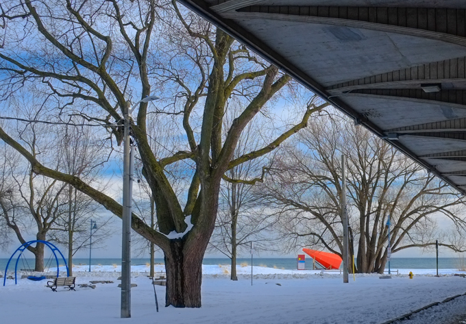
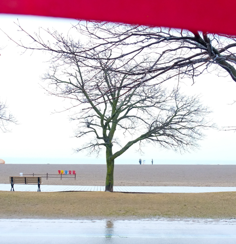
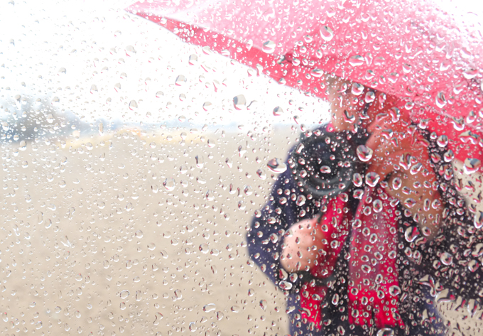
The 12th annual Winter Stations installation at Ashbridges Bay and Woodbine Beach is nearing the end of its six week run. I visited it recently on a rather forlorn grey and wet morning.
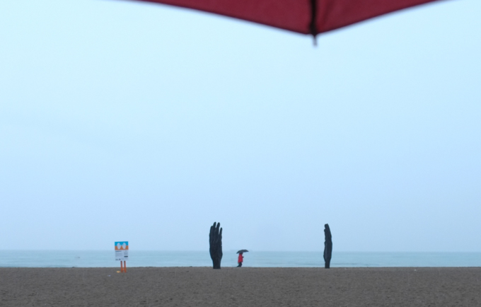
below: Along the boardwalk – two little black blips in the distance
below: A little closer, to see two hands facing each other. Another couple with their umbrella, and me with mine. The lifeguard station in the middle looks a bit awkward don’t you think?
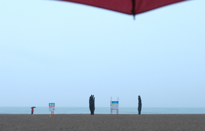
below: So…. what can we do about it?
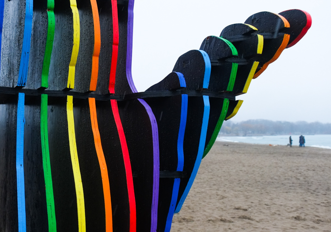
below: ‘Embrace’ consists of two large hands made with layers of black wood. The edges of the layers are painted in bright rainbow colours. It was designed by Will Cuthbert.
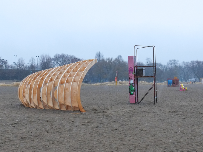
below: The next installation is Crest, also made of wood.
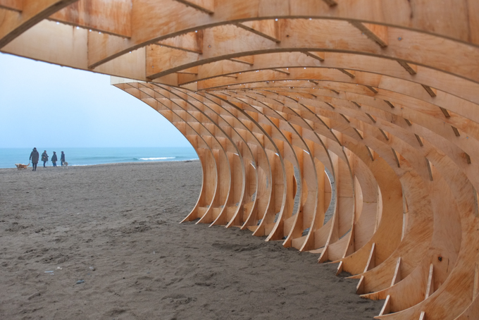
below: Curved pieces of wood connect with amazing geometry to form a simple yet complex three dimensional structure. It could be a pile of driftwood if seen from afar while closer up it looks like a wave about to break and crash to the shore. The design team responsible for ‘Crest’ is from the University of Waterloo School of Architecture and the Department of Architectural Engineering
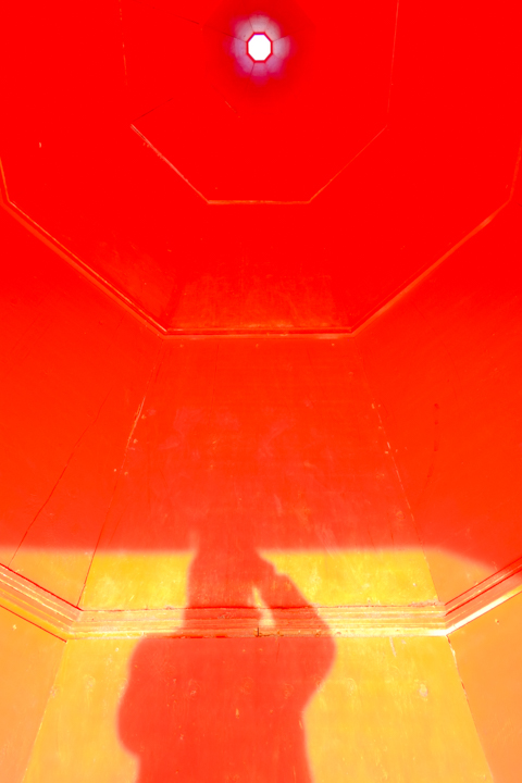
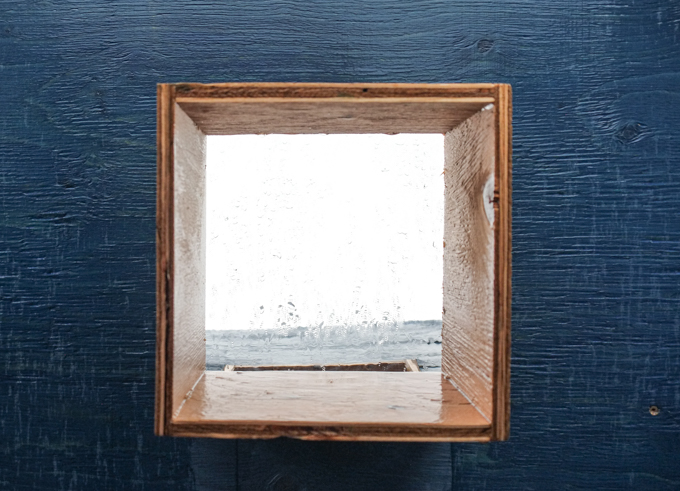
below: There seems to be a few features that popular “stations” have that re-appear year after year. One of these is a window that looks out over the lake – this is one of the 2026 windows as found on ‘Specularia’. The twist is that the windows are actually boxes with mirrors angled inside, like a periscope. The view from the five windows is quite different depending on the angle of the mirror.
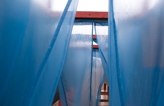
below: Another popular feature is the presence of “flappy or dangly” bits like fabric or rope. This installation, ‘Specularia’, incorporates this too! This is not to belittle the creativity of the artist (TORNADO SOUP: Andrew Clark) – I quite like the installation and the interactive possibilities here (just need to add people!).
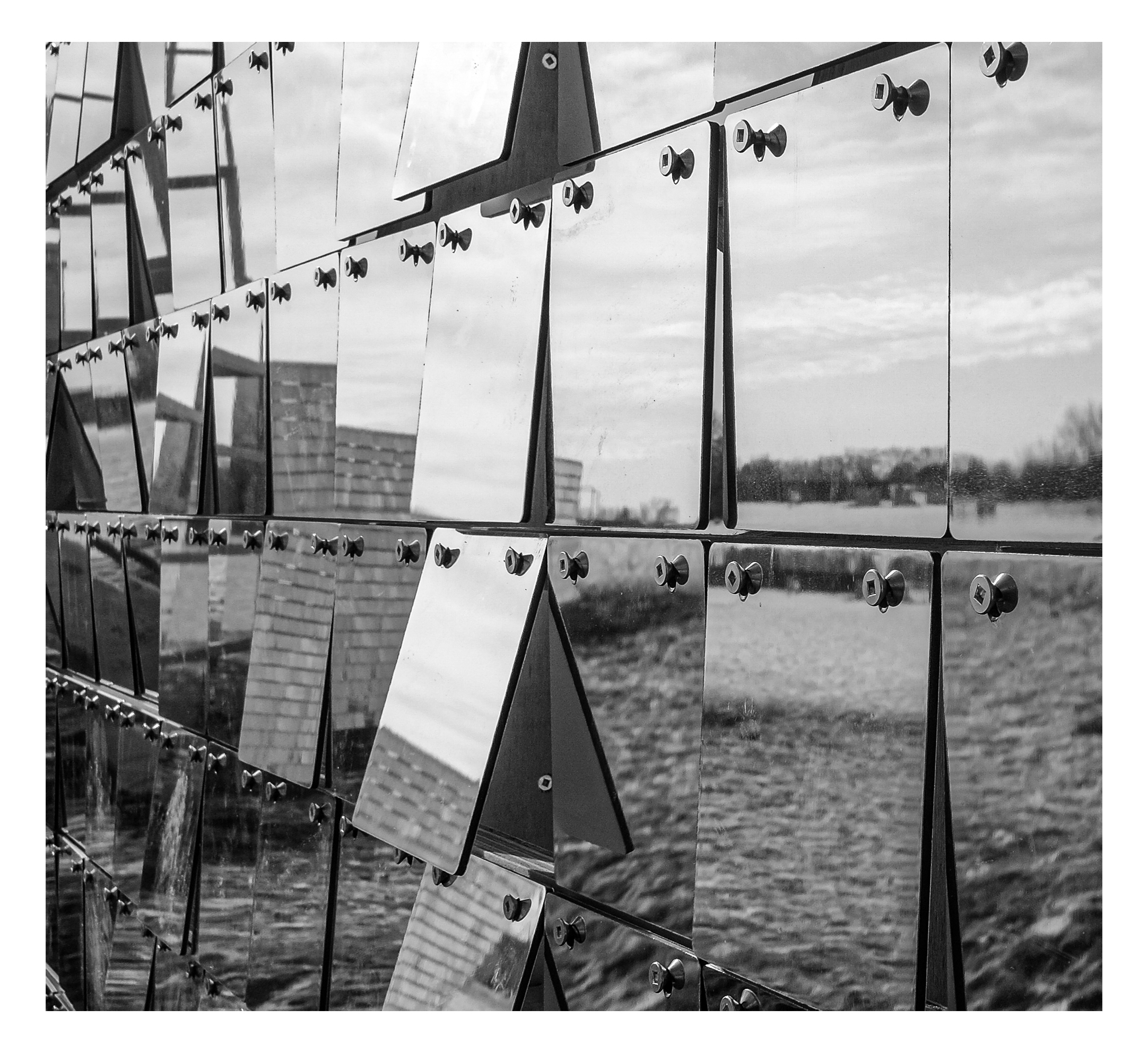
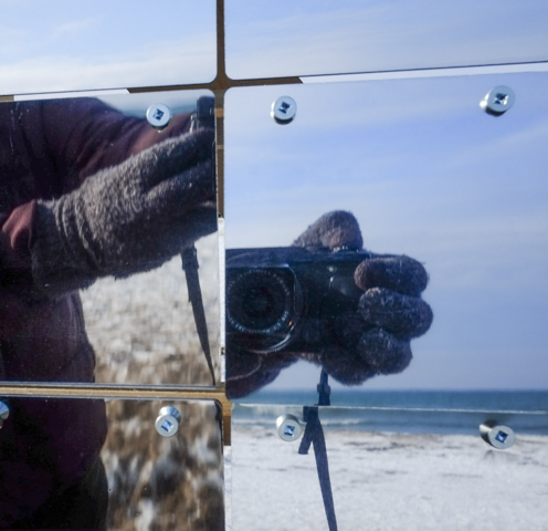
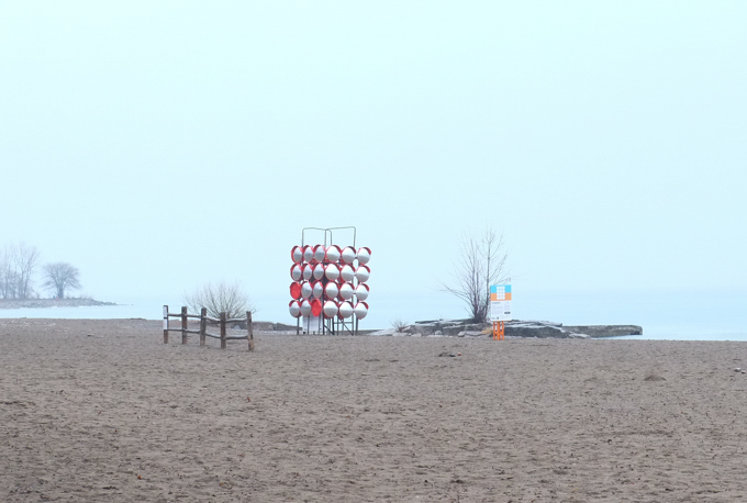
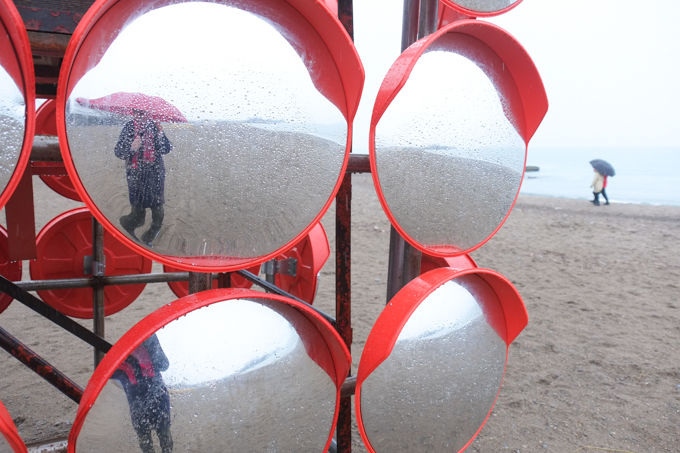
below: While we’re on the subject of repeated elements, let’s consider the popularity of reflective surfaces. They are always fun to play with too! Here is ‘chimera’, designed by Denys Horodnyak & Enzo Zak Lux. It’s a four sided structure and each side is made of a grid of convex circular mirrors.
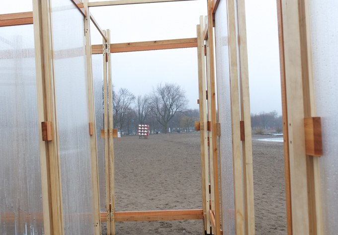
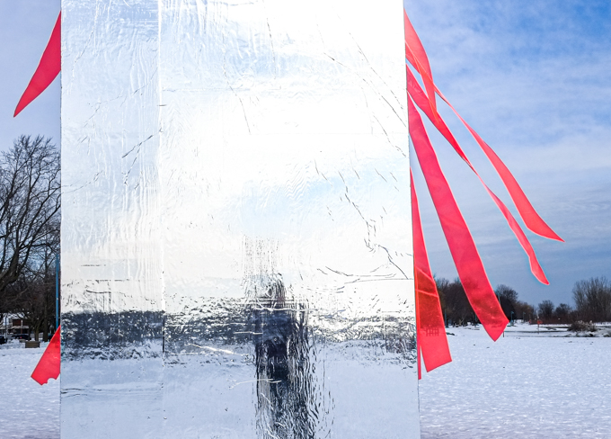
below: These polycarbonate panels are filled with water that freezes when the temperatures plummet – hence the name “Glaciate”. But it’s difficult to make ice when it’s raining! It probably have looked a bit different just a few days ago when we had snow and colder temperatures.
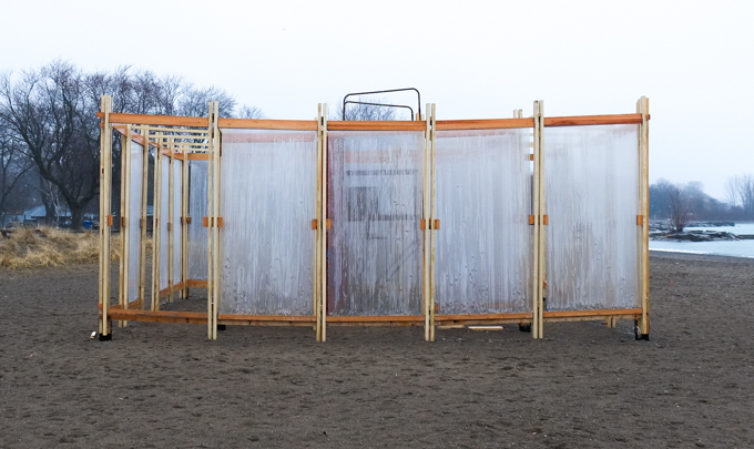
below: A couple of panels have come off but otherwise the installation has stood up well (…actually, they all have been quite robust). The panels form a nice little maze of passageways to explore.
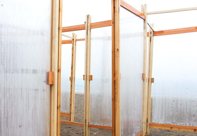
Glaciate is the result of a collaboration between a group from Toronto Metropolitan University Department of Architectural Science and one associated with Ming Chuan University School of Design in Taiwan.