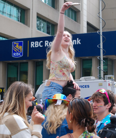
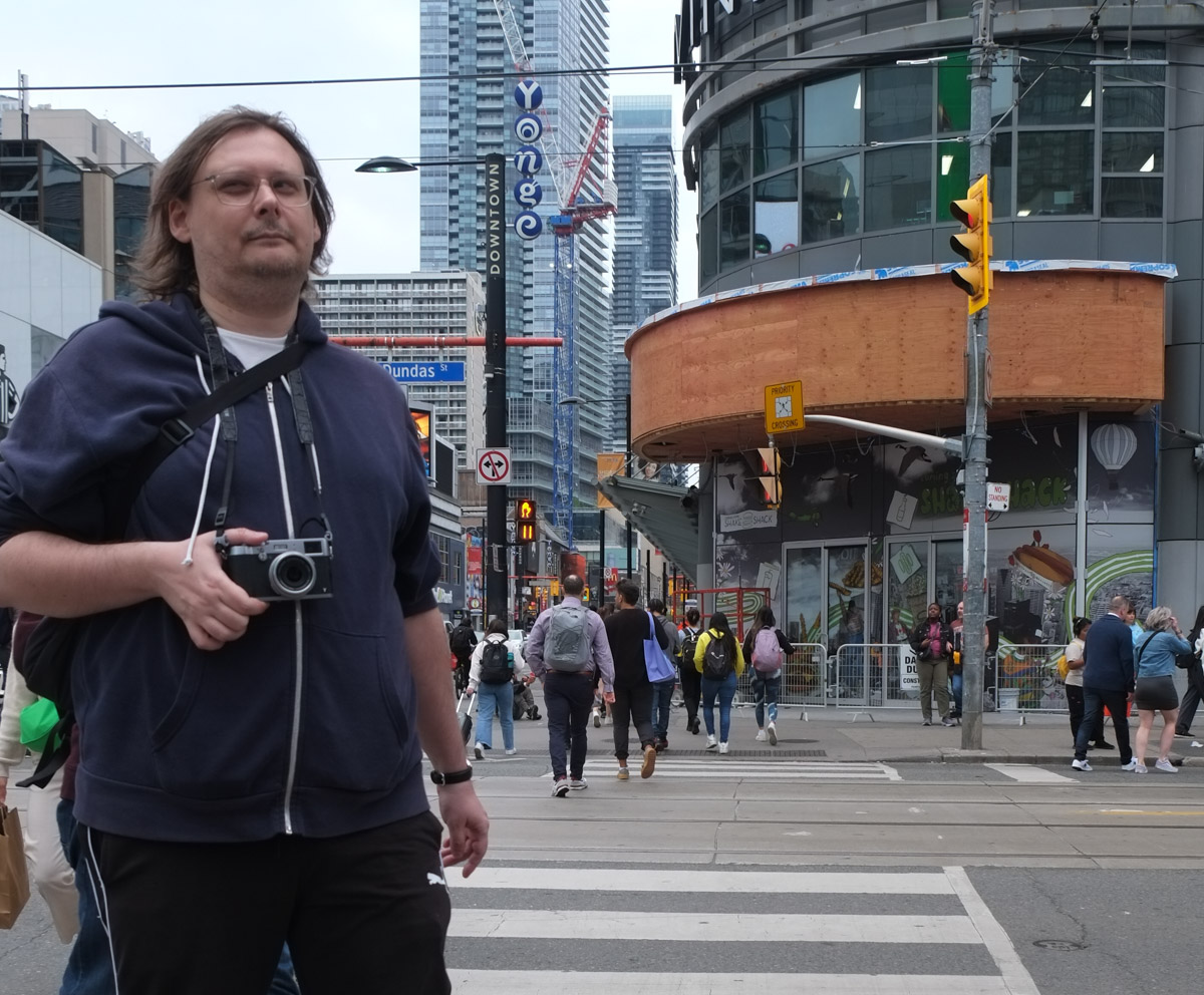
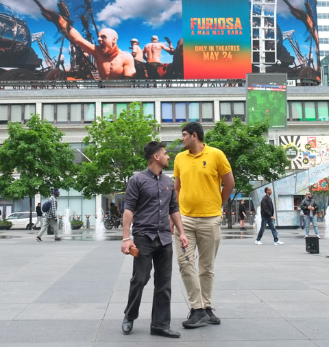
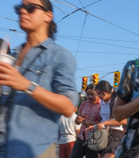
This used to be Yonge Dundas Square (photo below) – soon it will be Sankofa Square. Or at least I think that’s what’s happening as there was some controversy over the name change. Although the name Yonge Dundas is very dull and unimaginative, that is what we’ve become accustomed to calling it. Some of us still claim that the Leafs play at the ACC or that the Blue Jays call the SkyDome home – yeah, we can be rather slow!
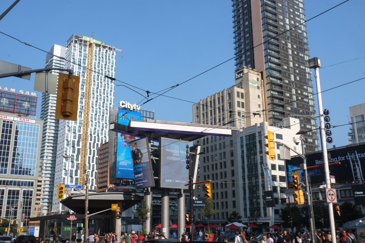
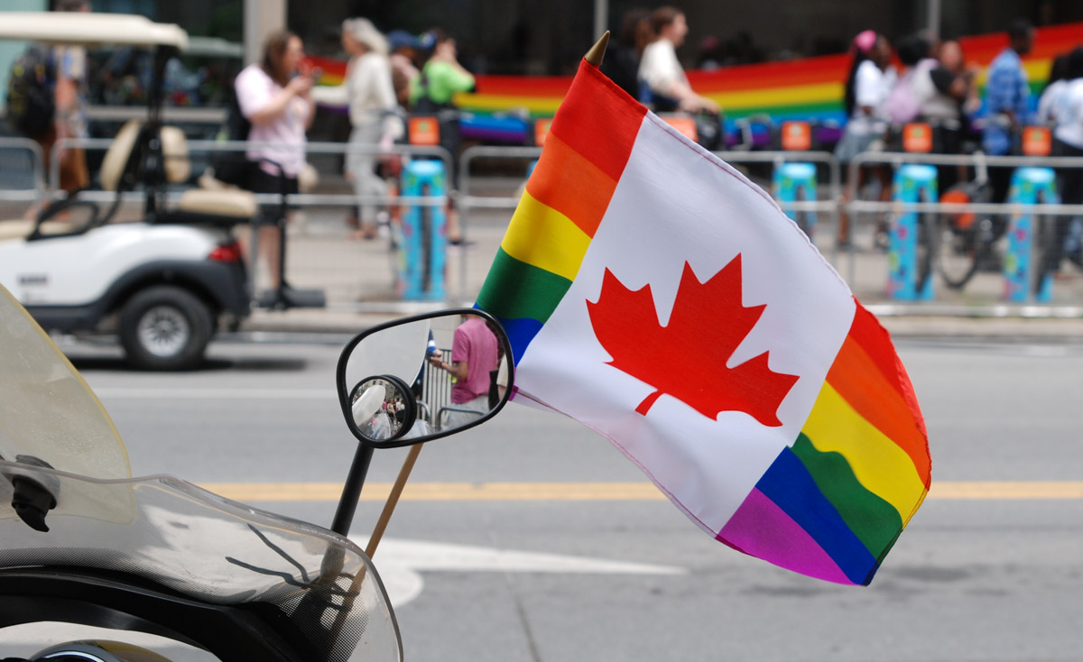
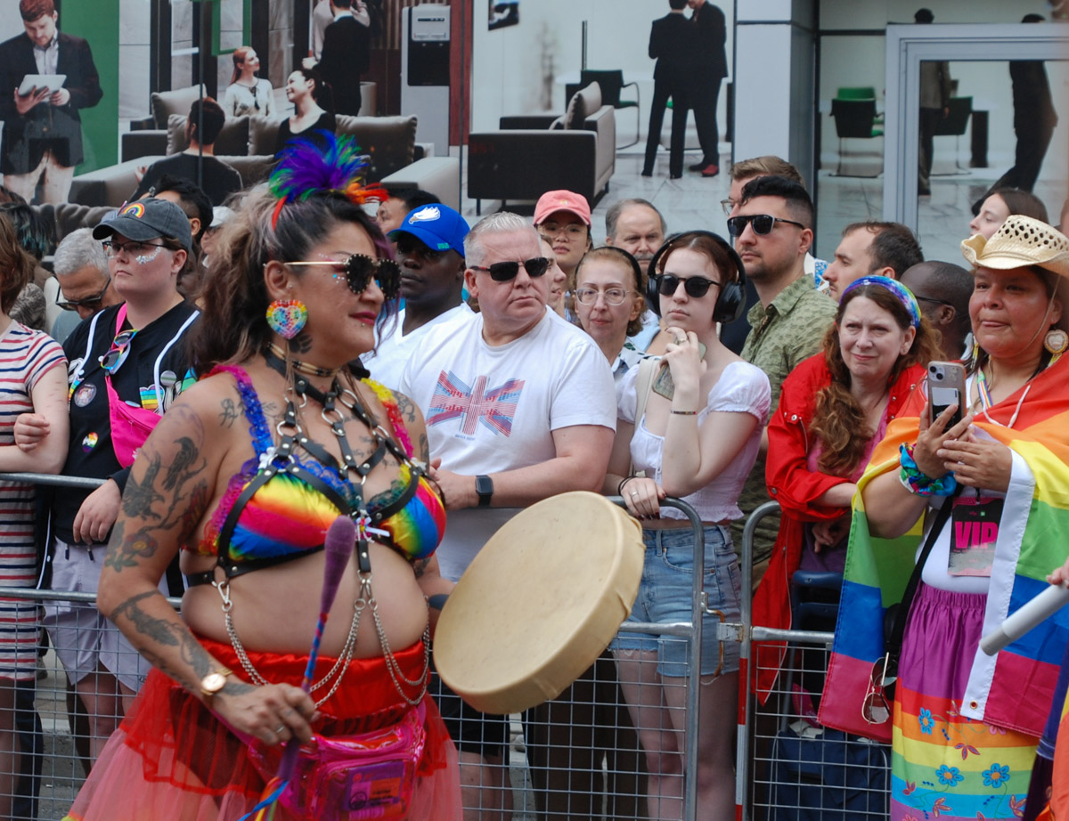
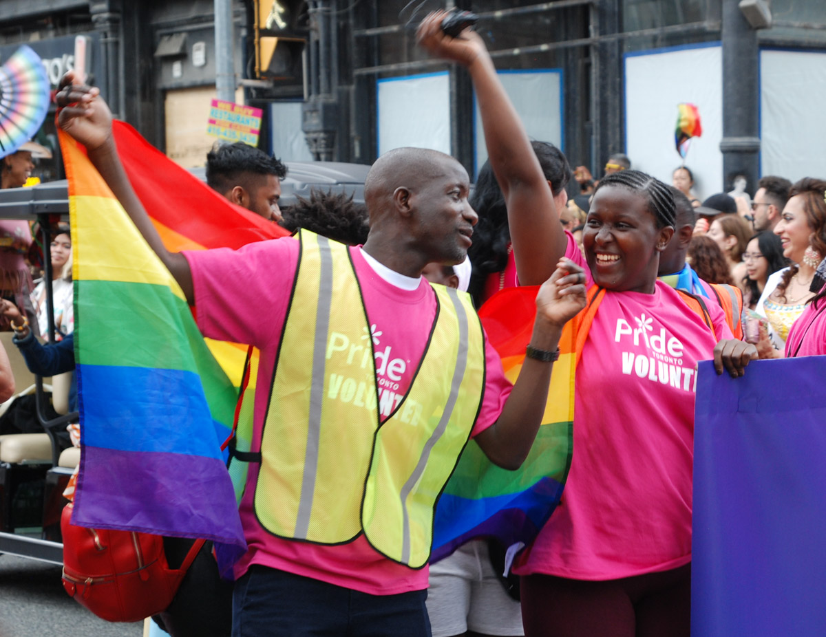
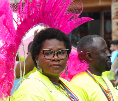
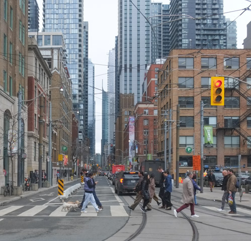
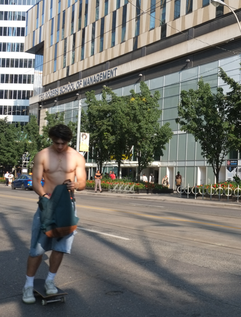
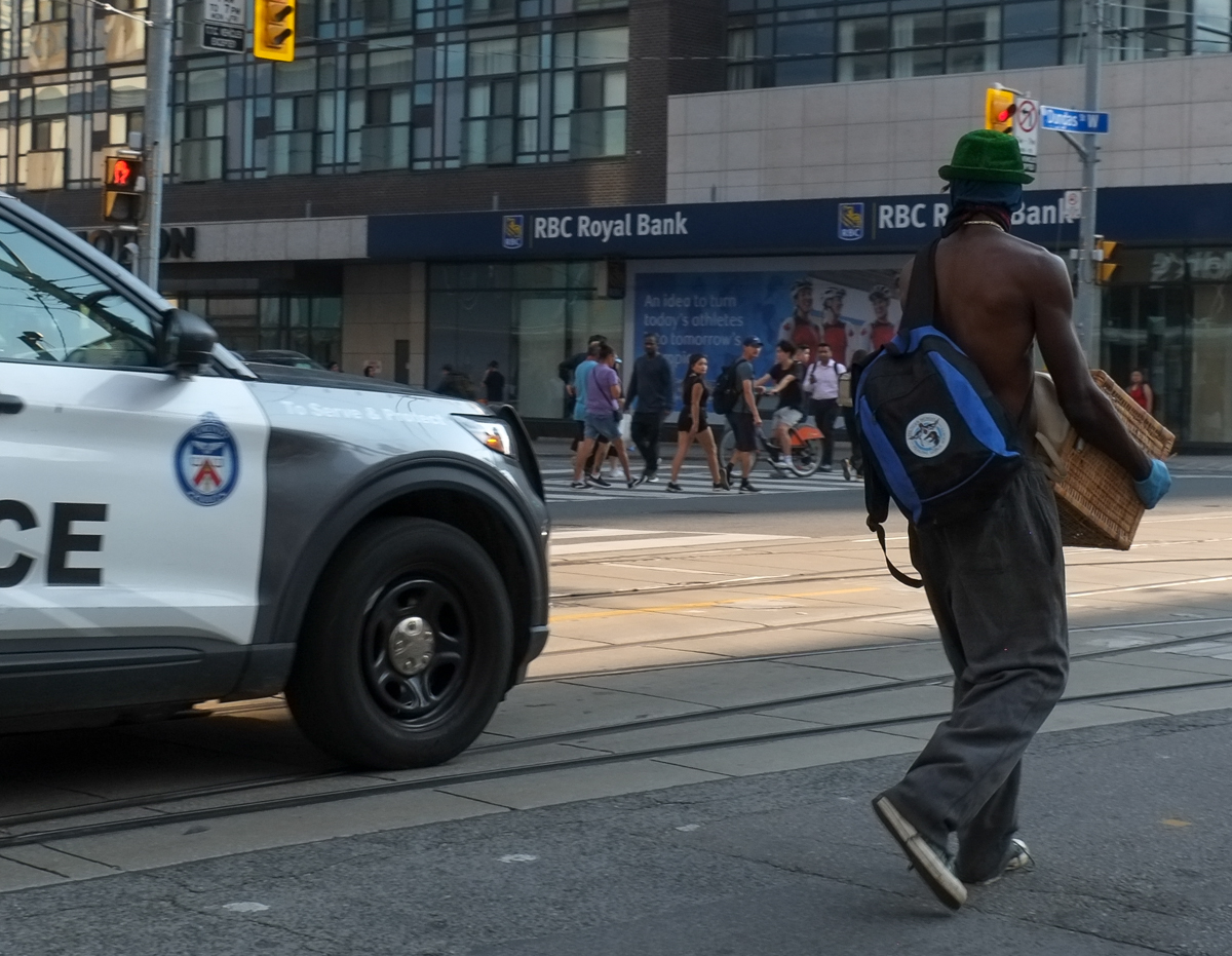
Whatever its name, that intersection is usually a colourful place on a summer evening.

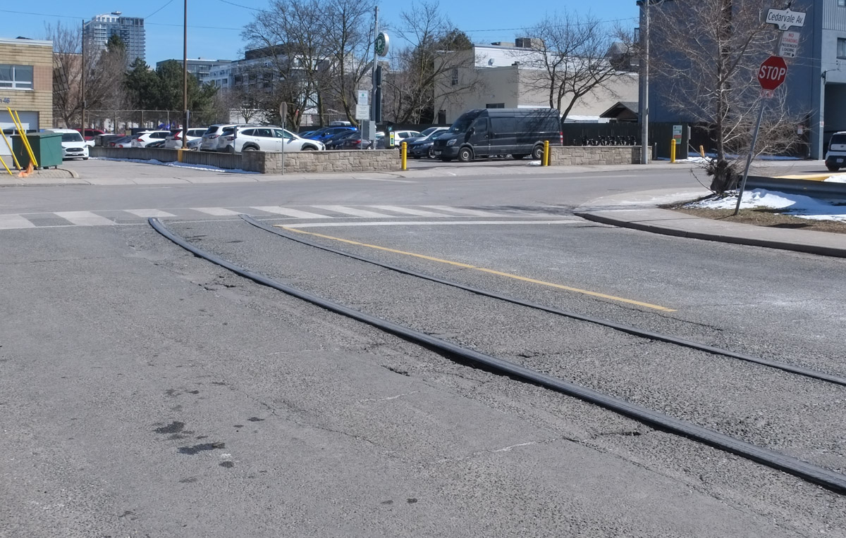
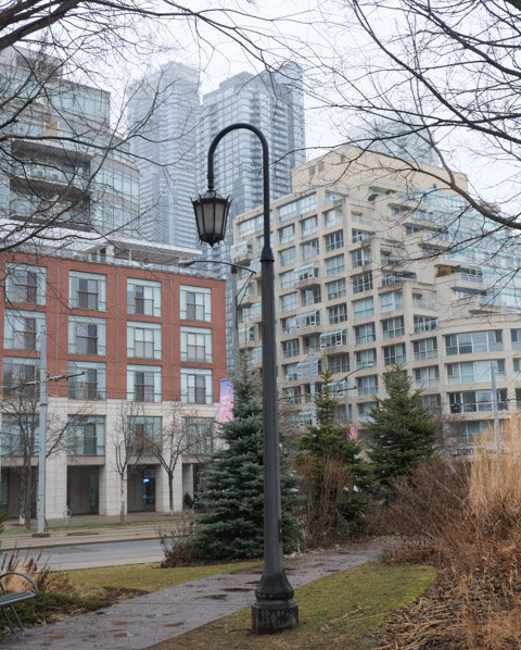
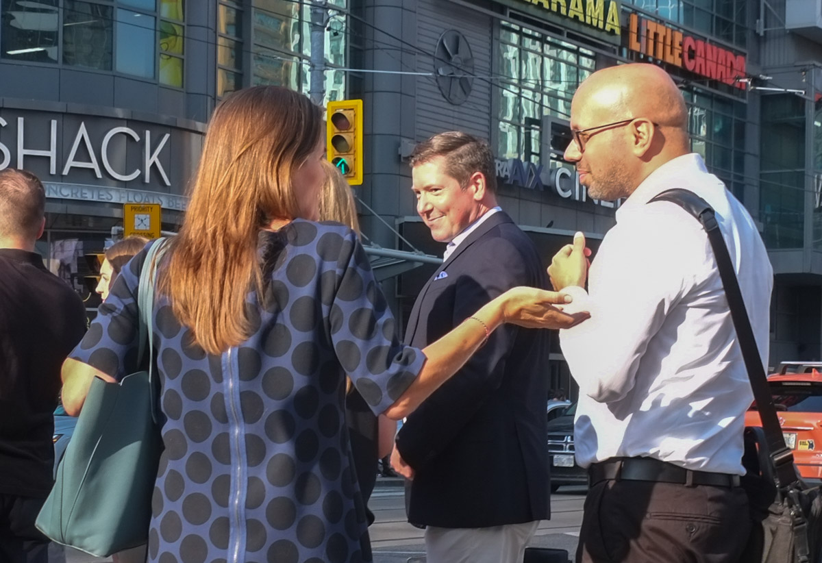
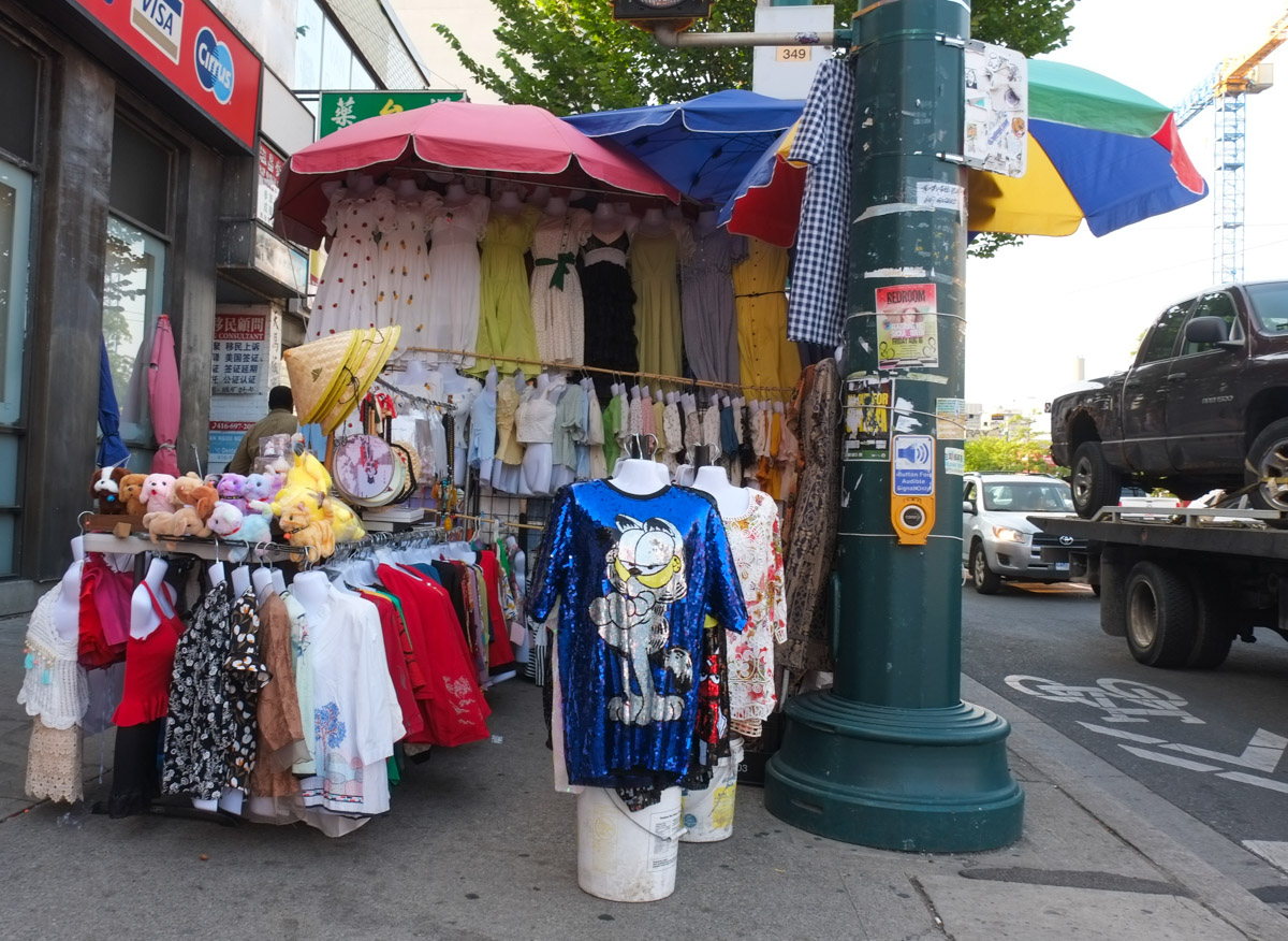
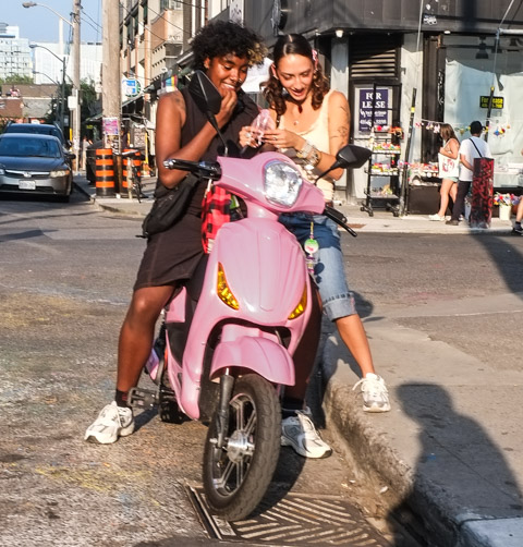
So that is where I started walking late in the afternoon the other day. The walk was rather meandering, and did include a quick hop on a streetcar or two. The weather was perfect and the streets were alive. It was nice to see so many people out enjoying the evening. Many (all?) of the curbside patios were busy too.
below: Spiderman sits on a chair waiting for someone to hang out with.

below: Garfield is not amused (but he is shiny… or is that why he’s grumpy?)

below: On a balcony in Kensington, a war protest or at least a pro-Ukraine and anti-Russian statement. Lots of sunflowers fill the space and Putin (presumably) is hung in effigy.

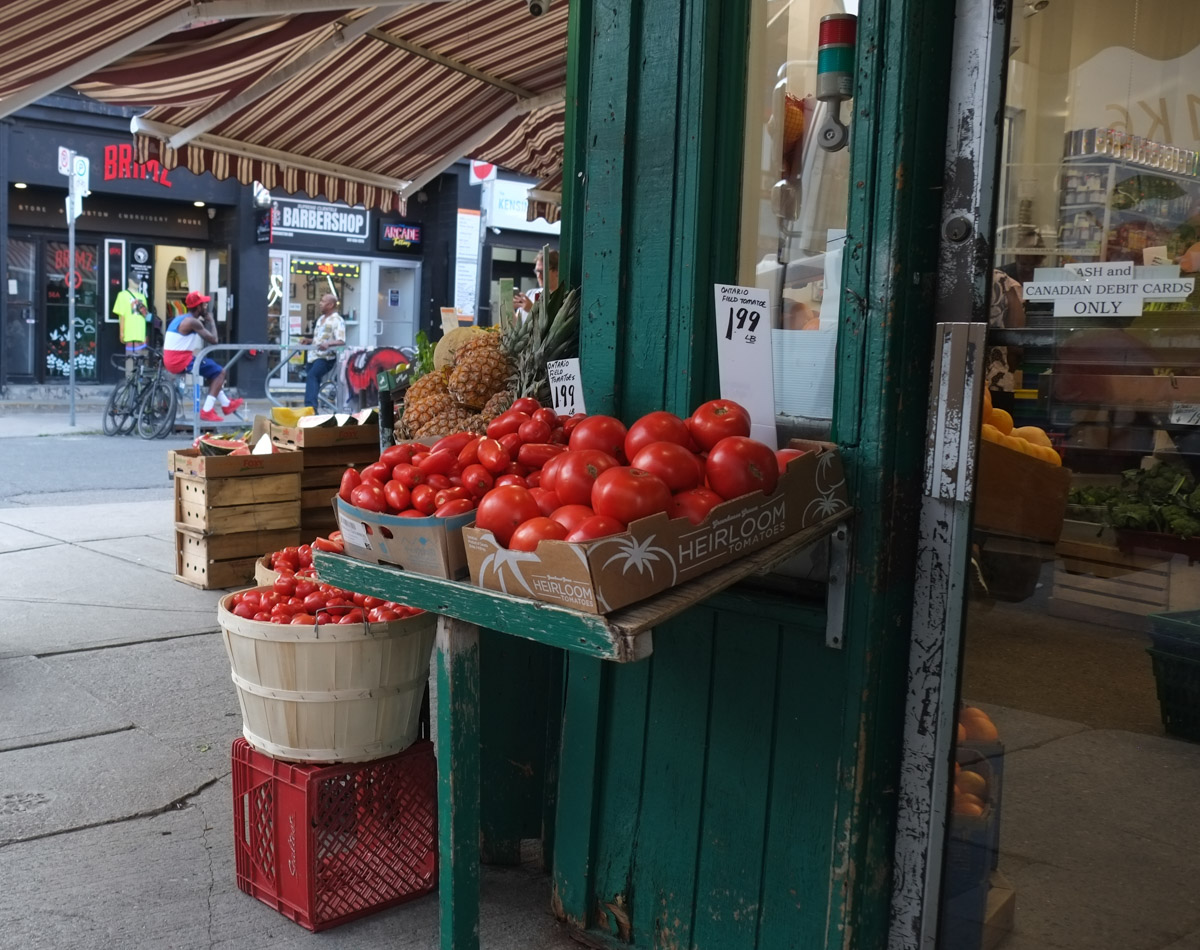
below: August is tomato season in Ontario!
below:Buddha prays (meditates?)

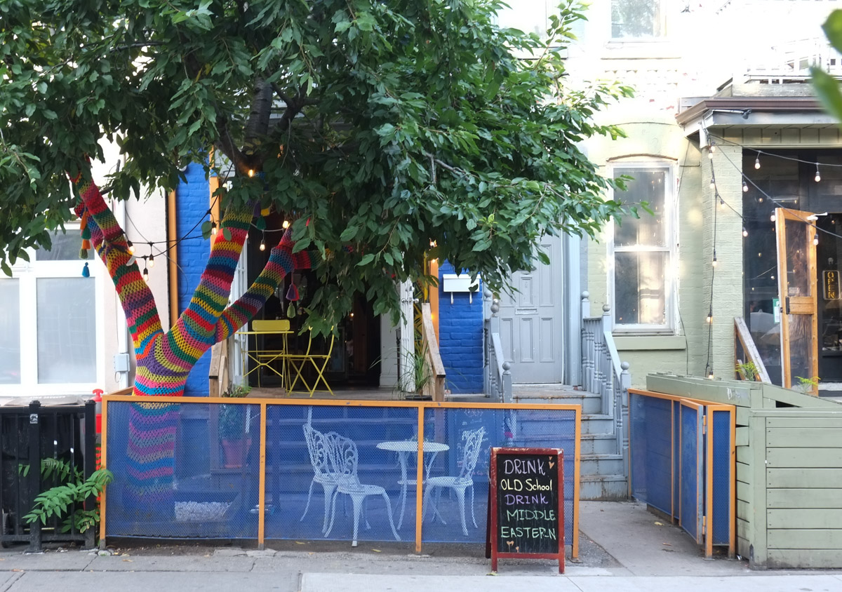
below: A rare species spotted in Kensington – a rainbow tree
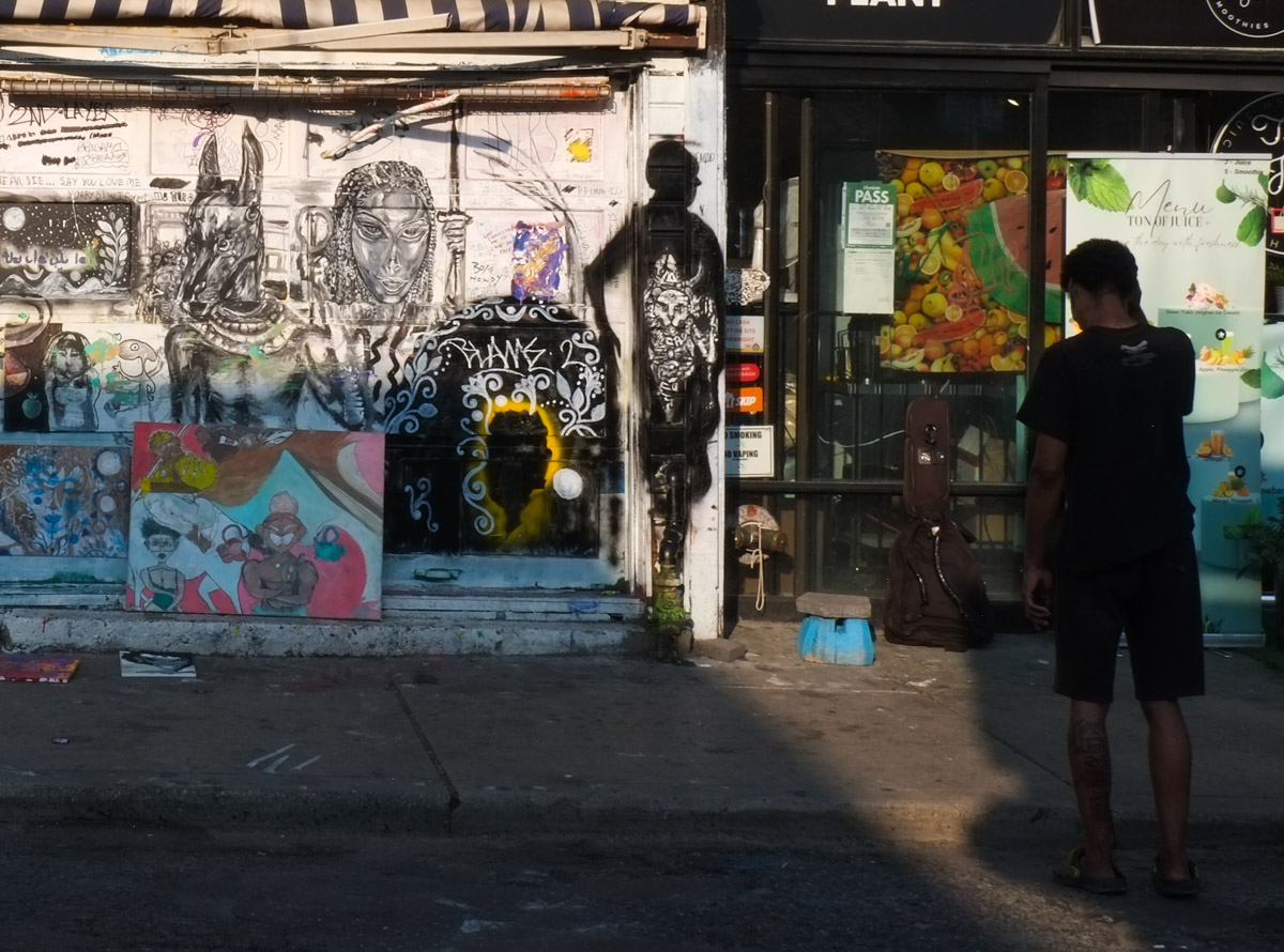
below: Shadow play on a Kensington graffiti wall.
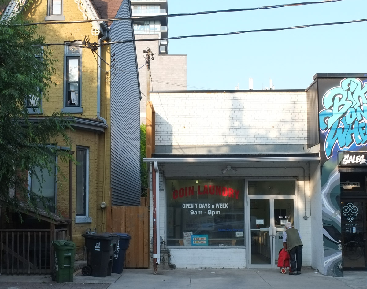
below: Laundry time
below: This young man still watches over College Street (mural by Jarus).

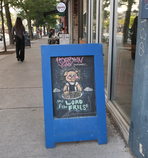
below: Lord of the Fries!
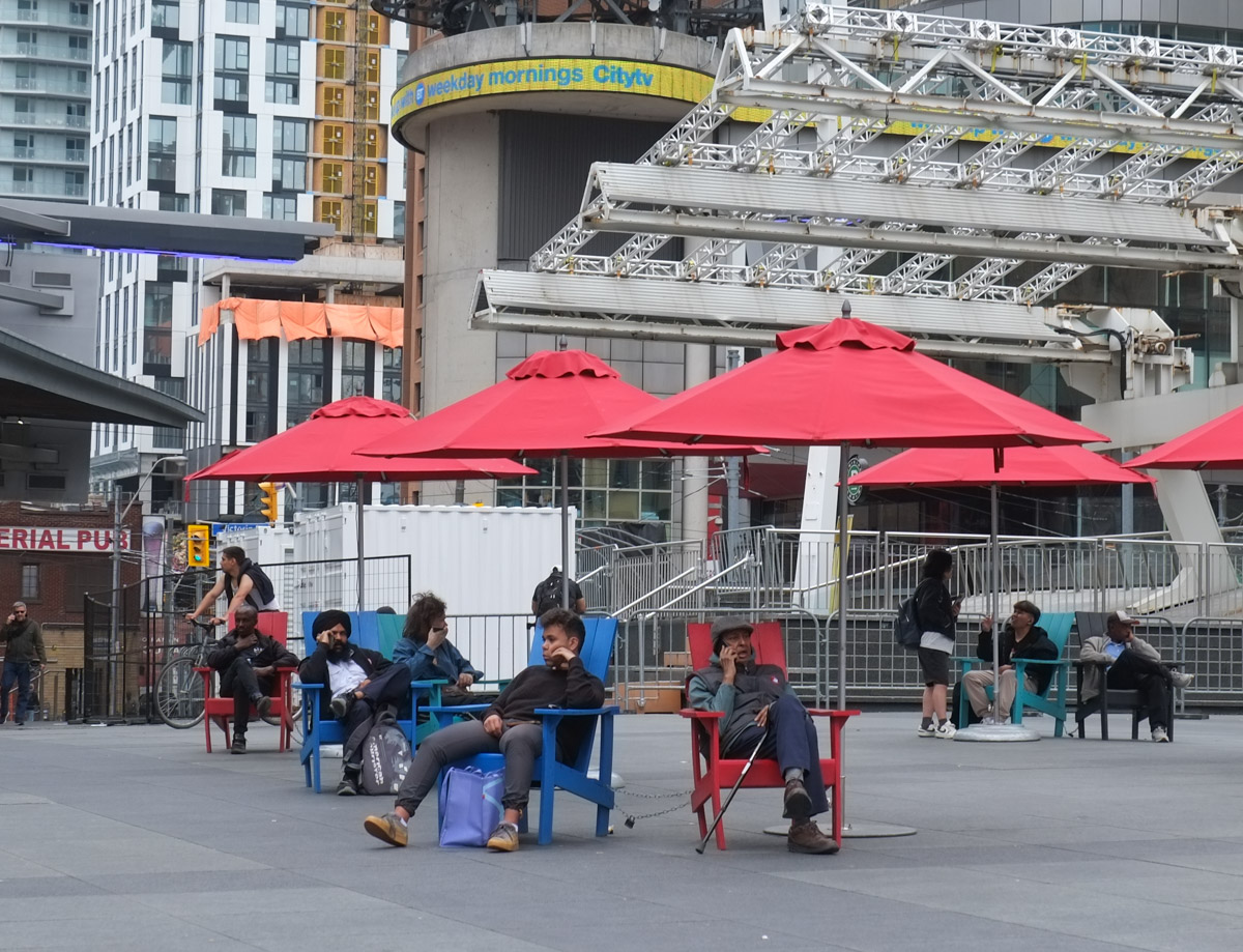
below: A creative use of a few chairs.

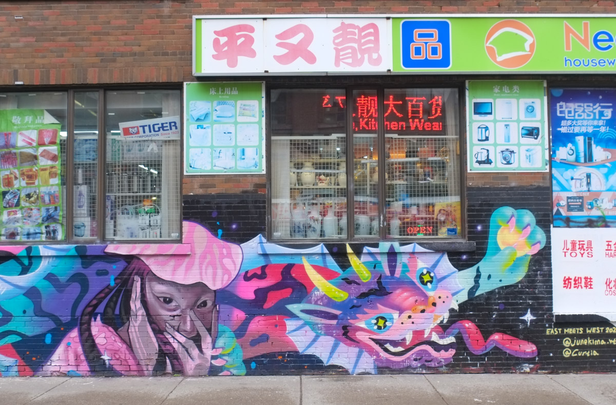
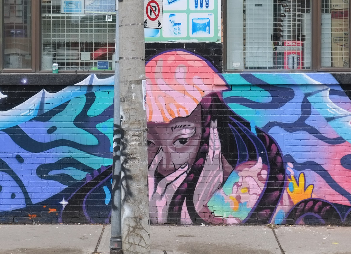
below: Mural by roam_t.o

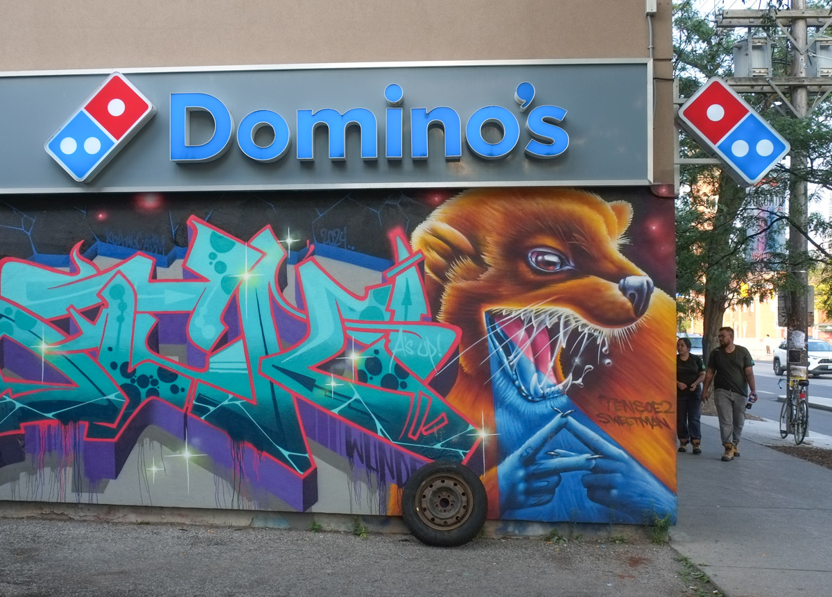
below: Where danger lurks around the corner, unseen and unexpected! (mural by Tensoe2 and Nick Sweetman)
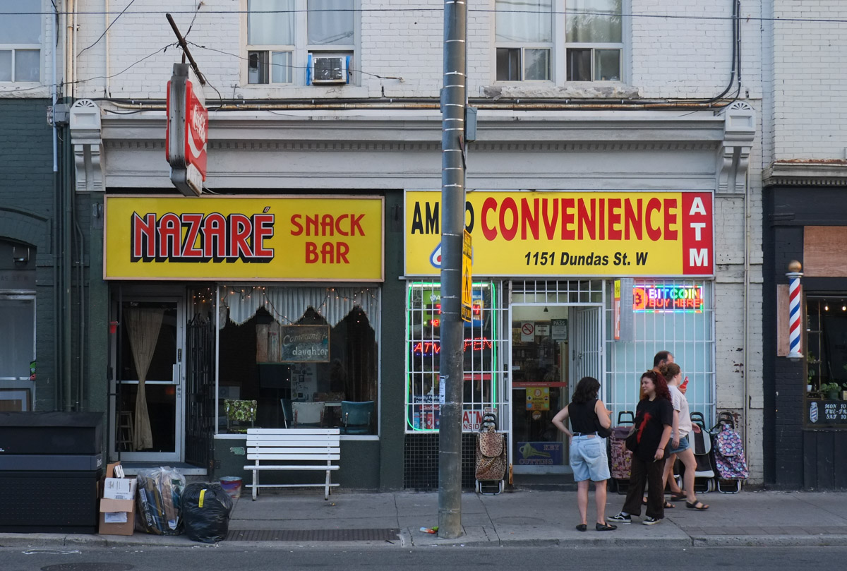
below: Nazare Snack Bar
below: Taking a rest from riding on the broom?! Hallowe’en shopping done early!

below: A sign that claims that Ossington is the coolest neighbourhood. Any opinions?

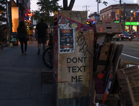
below: Don’t text me!
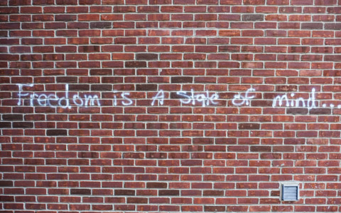
below: “Freedom is a state of mind” (not just another brick?)
below: Graffiti, text on a poster, by Kleeshay, “All the fun things we did when we were kids never stopped being fun we just stopped doing them”

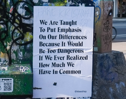
below: “We are taught to put emphasis on our differences because it would be too dangerous if we ever realized how much we have in common “
below: A third Kleeshay poster – “You might forget who you are if you’re surrounded by people who act like you aren’t who you are. “

below: Turtle Island, bald eagle

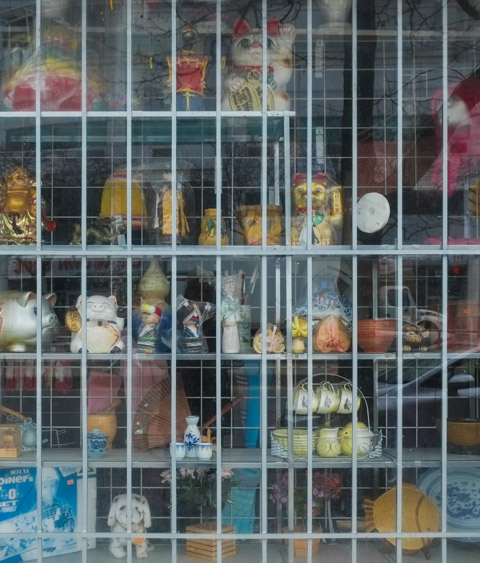
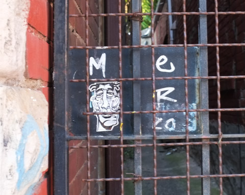
below: Locked up; behind bars
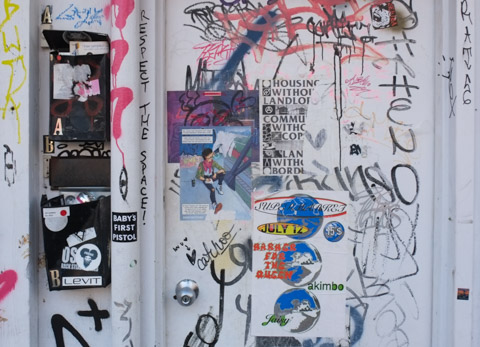
below: “Respect the Space”, an urban collage on a door in Keningston. “Baby’s first pistol” – yikes!
below: Another collage, sort of – I find it hard to believe that someone actually taped a coffee cup to a pole… but seeing is believing?

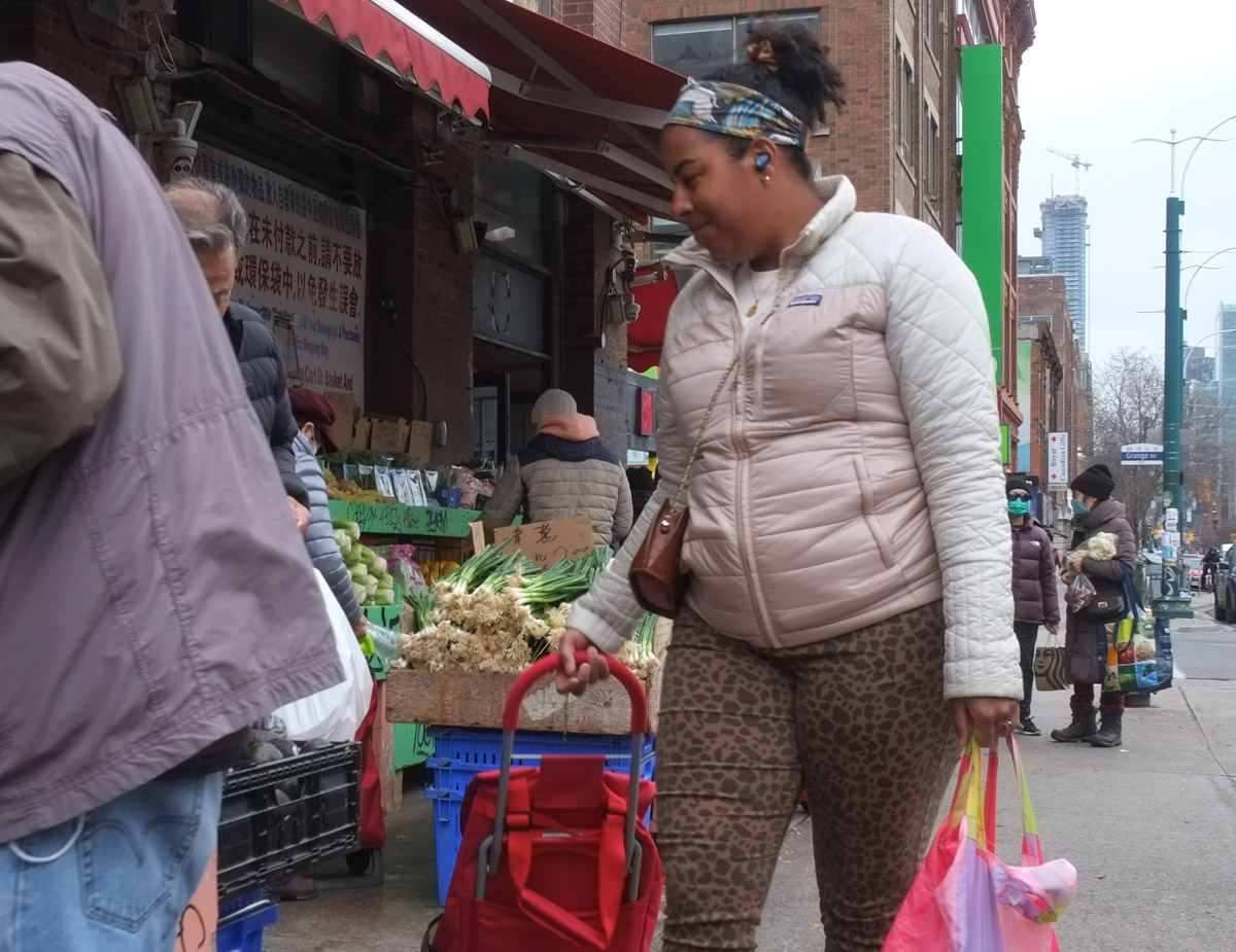
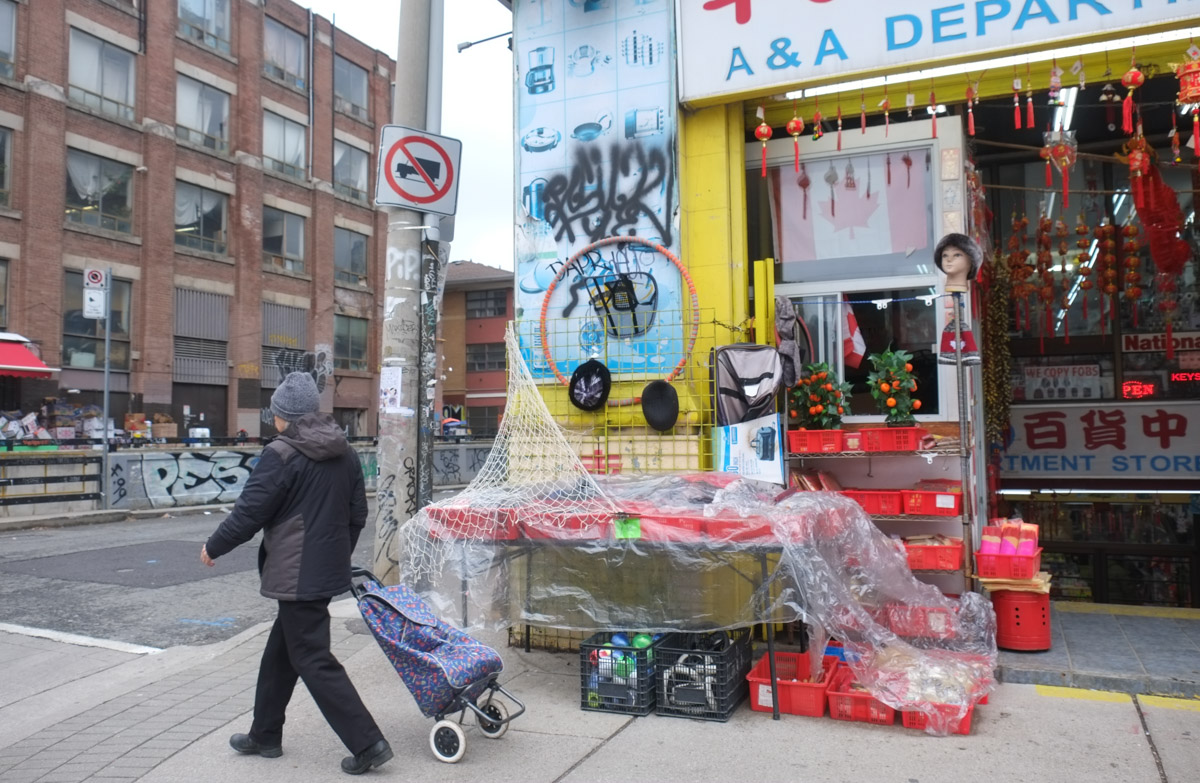
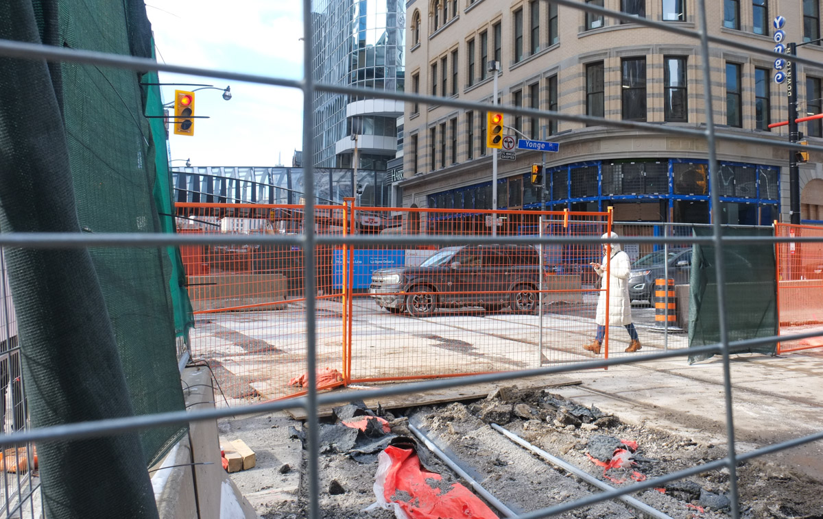
below: Nothing fancy here, but I was fascinated by the old concrete posts that are keeping this fence up. She walked in front of me as I slowed down for a closer look…..

below: This final picture is for the person who mentioned that they once thought of collecting images of all the shopping carts they saw abandoned around the city. Ever since reading that comment, I see shopping carts everywhere!!

below: What do you see when you walk around Toronto?