Posts Tagged ‘path’

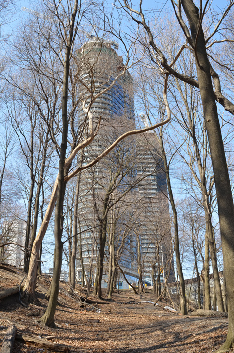
A circular walk to explore the Don Mills trail south of York Mills Road… but how to get there…. We decided to start by walking south on Scarsdale Road to Bond Avenue.

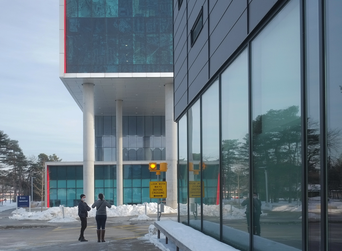
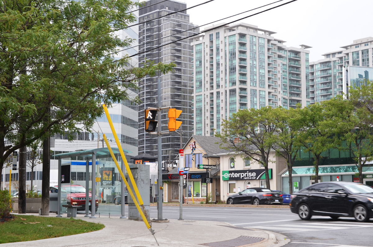
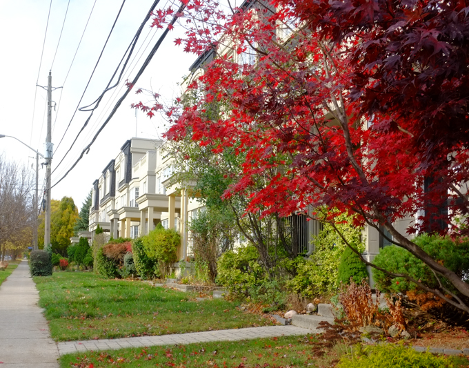
Scarsdale is a nondescript street in North York with a few churches, private schools, some light industry, offices, and all in all, a lot of lowrise late 20th century architecture.

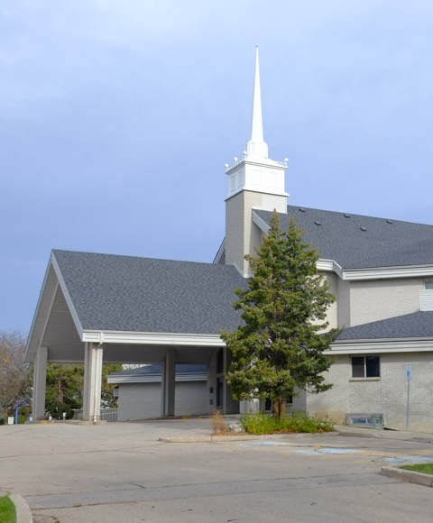
below: Don Mills Baptist Church looking very un-church like.
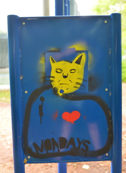
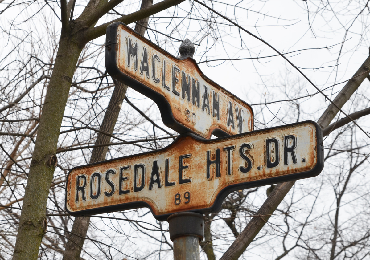
below: Unmarked

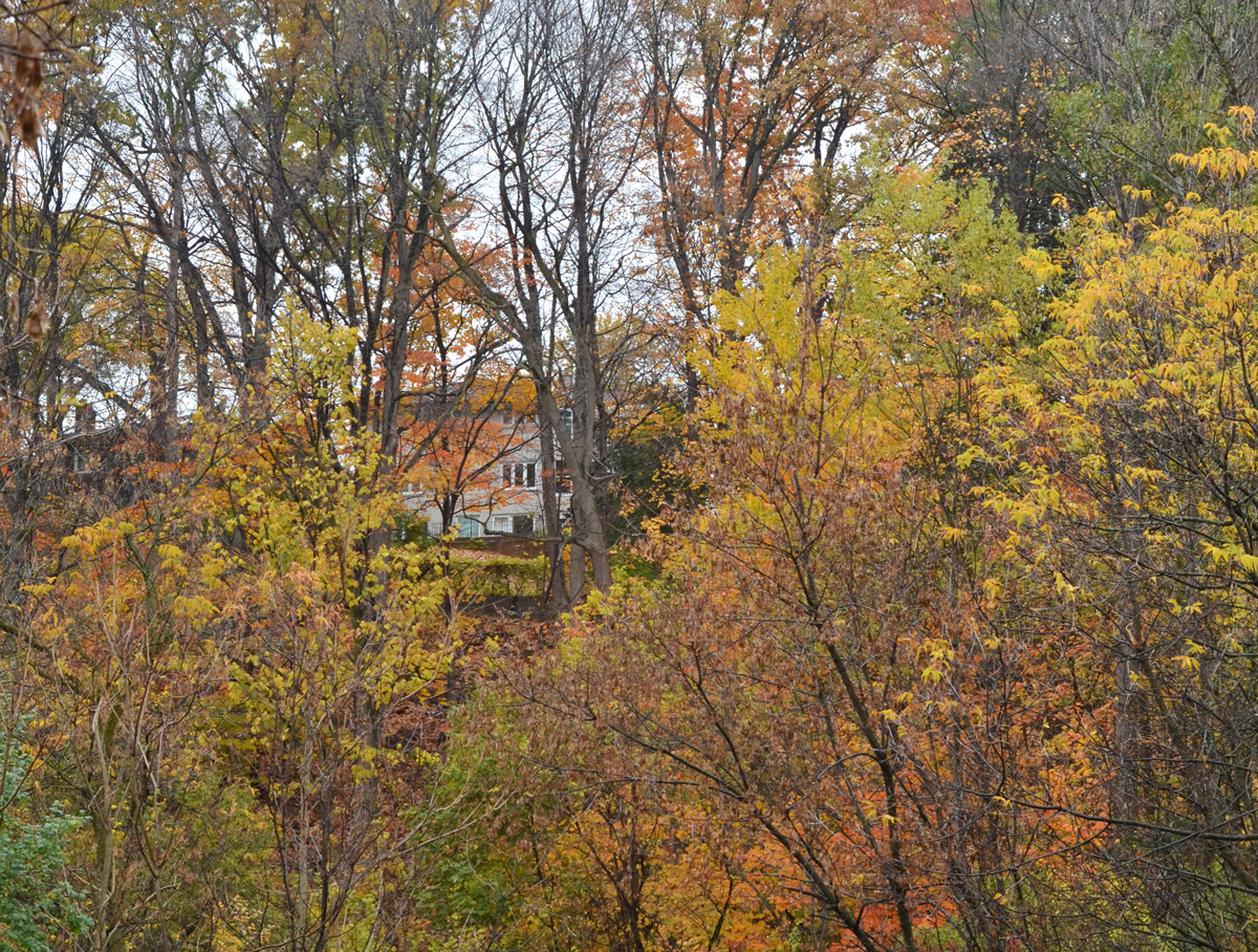
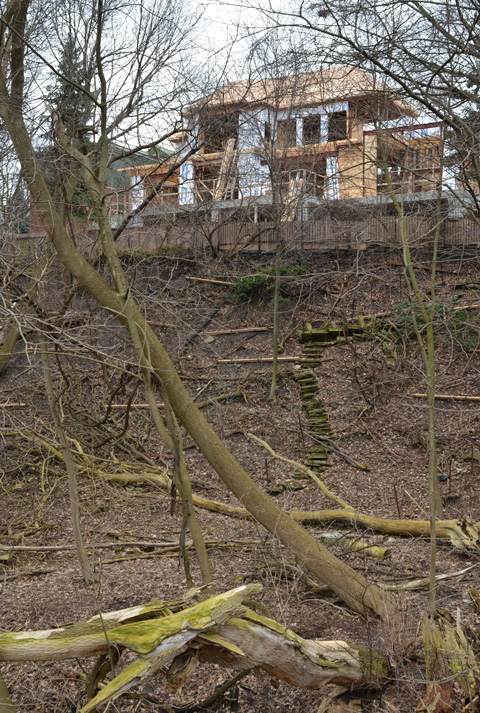
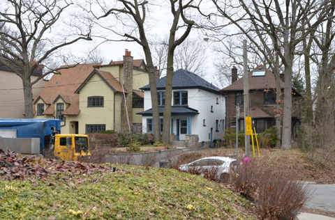
below: Once at Bond, the buildings are mostly residential.

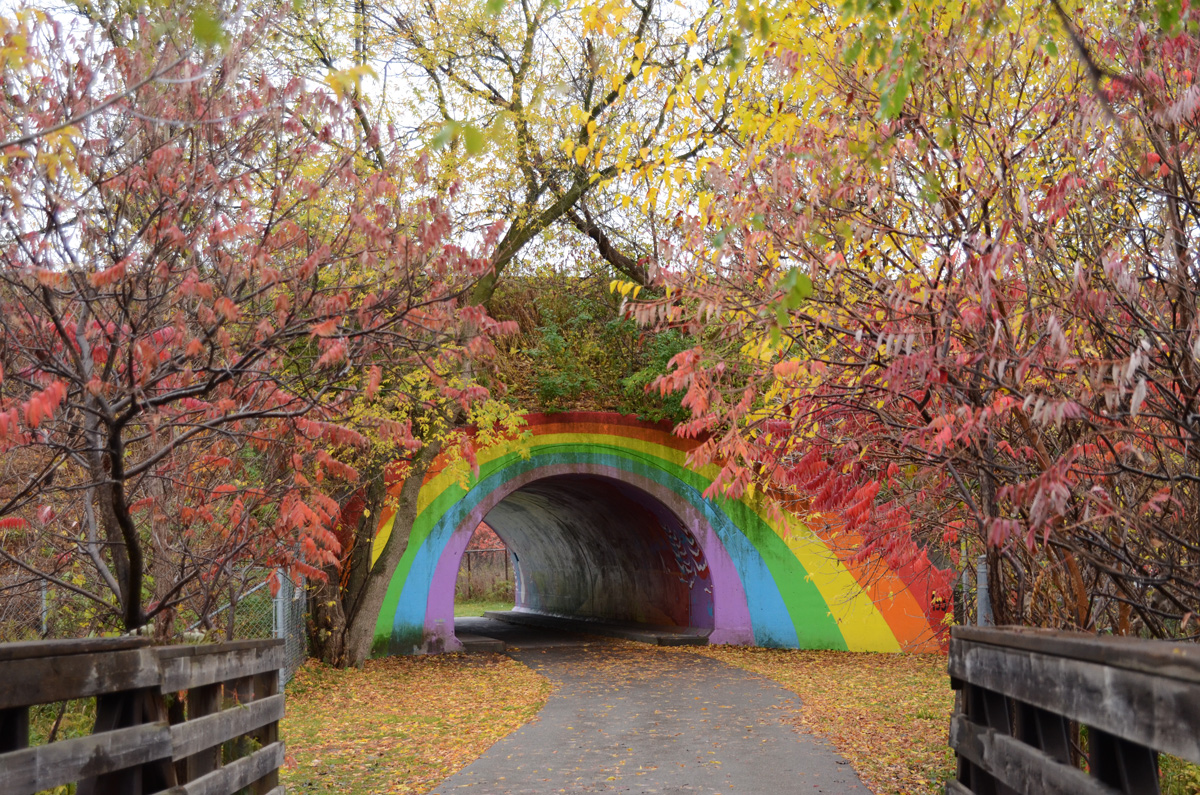
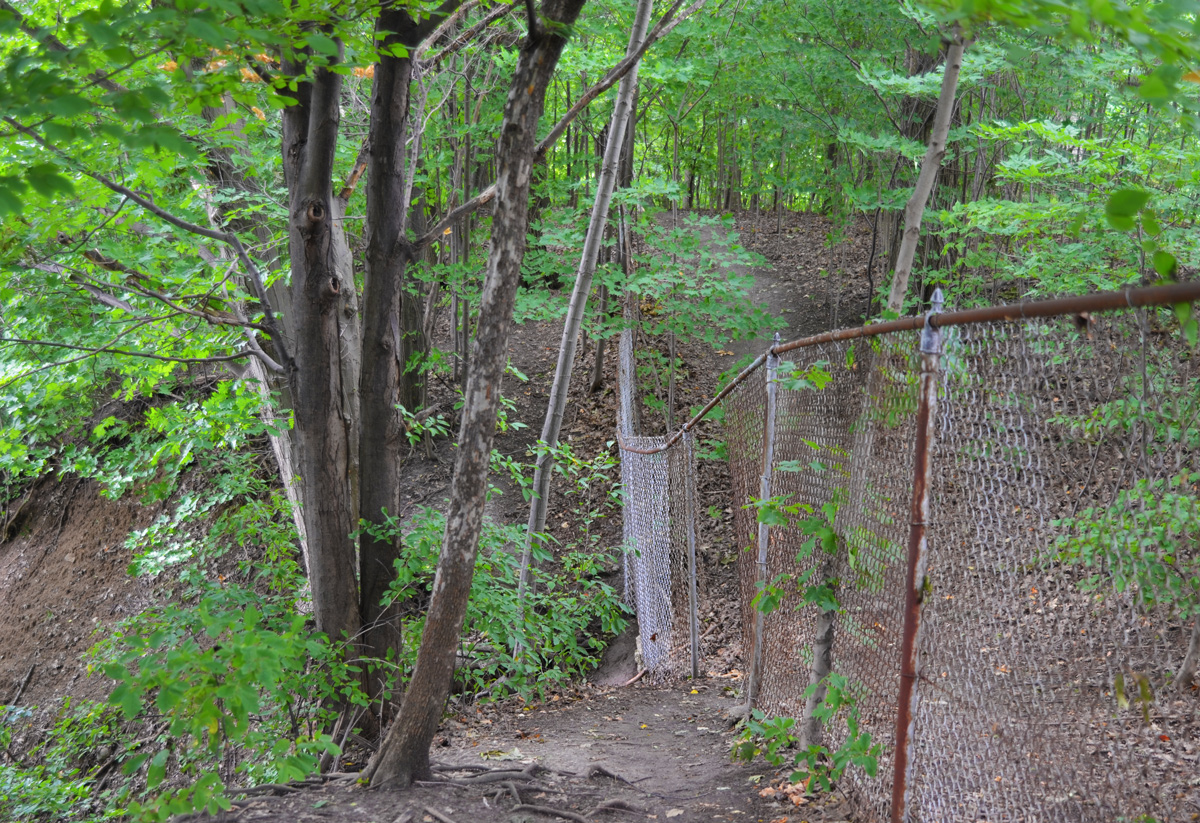
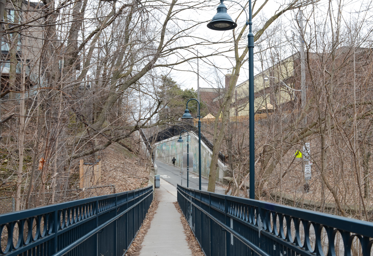
below:  There is a walk-through to the neighbourhood behind

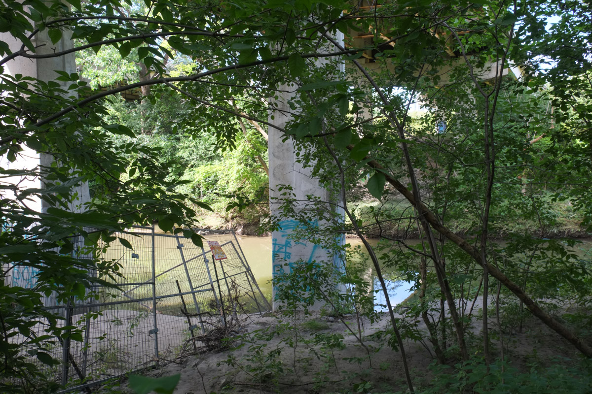
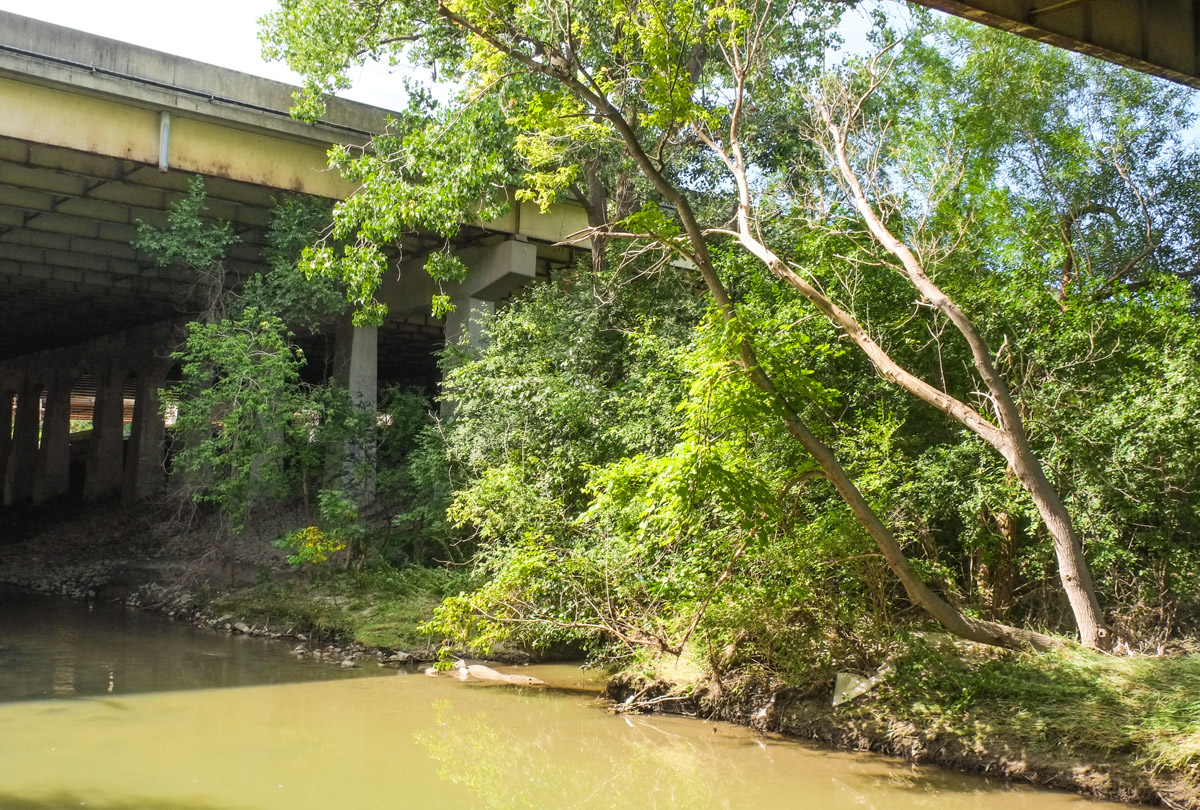
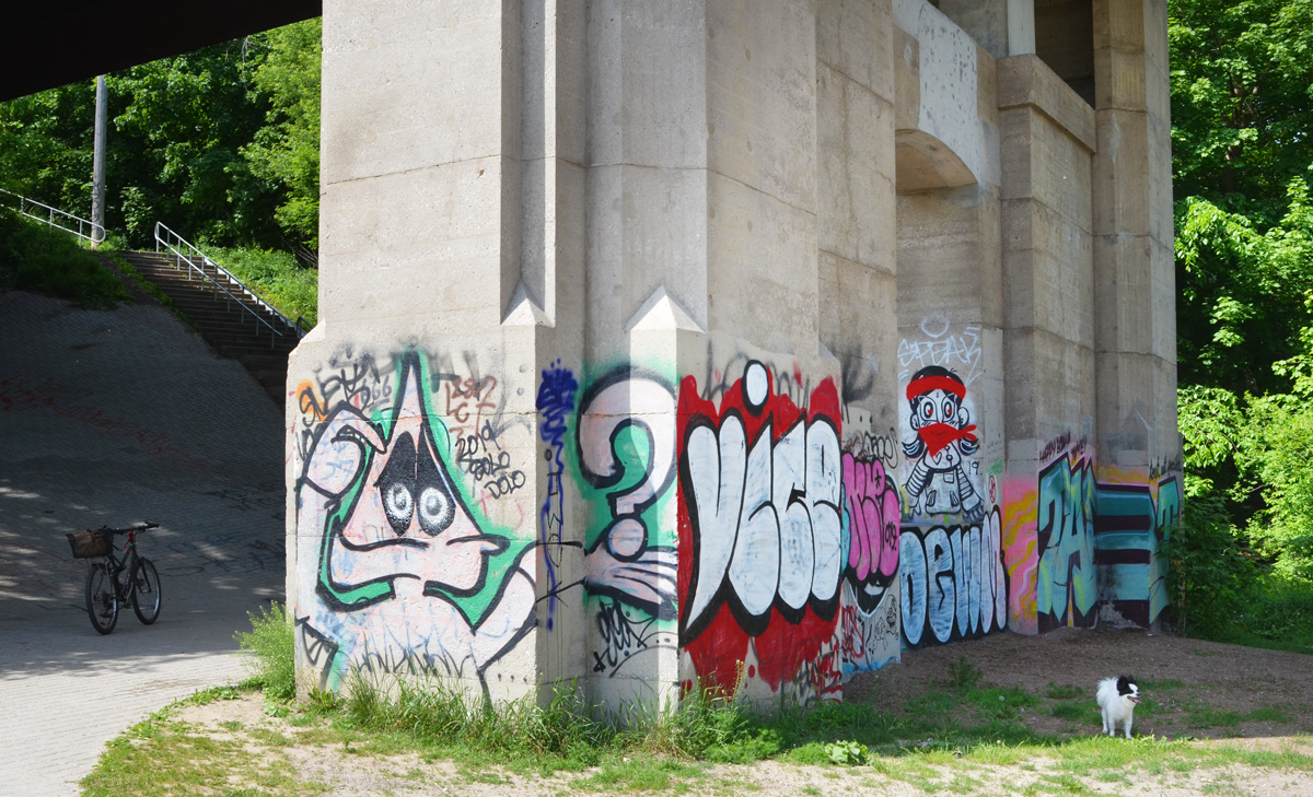
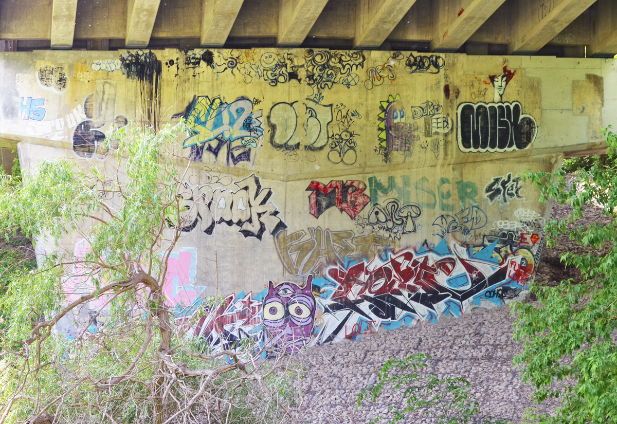
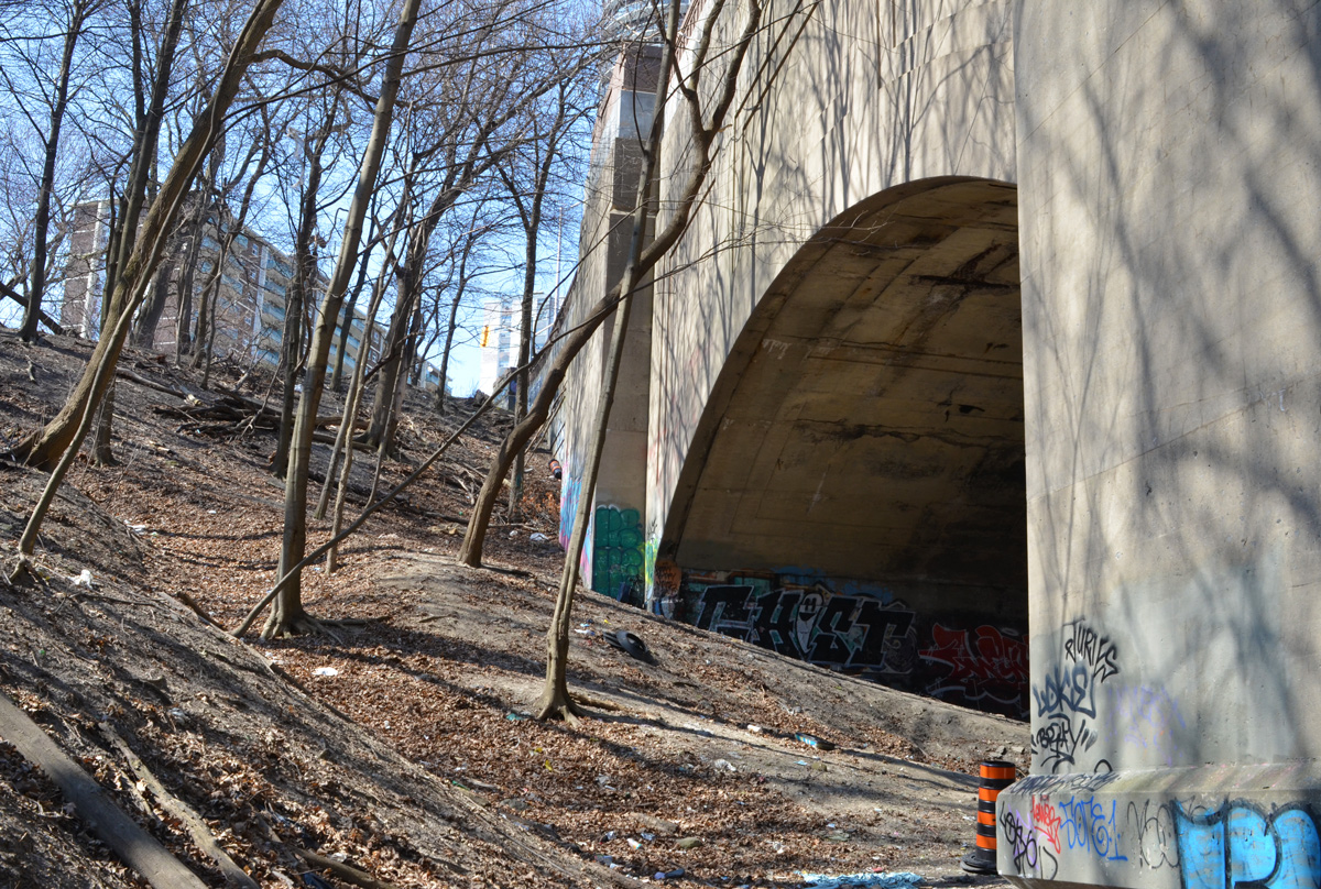
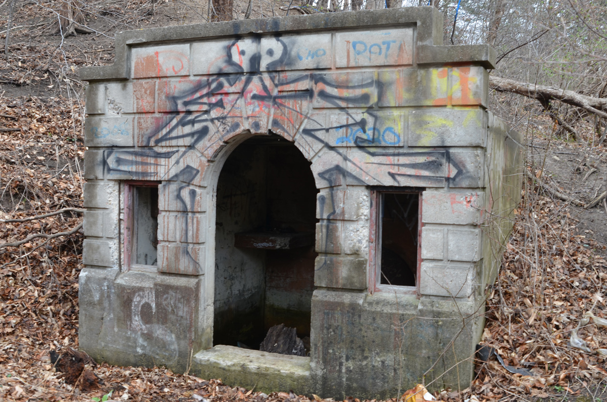
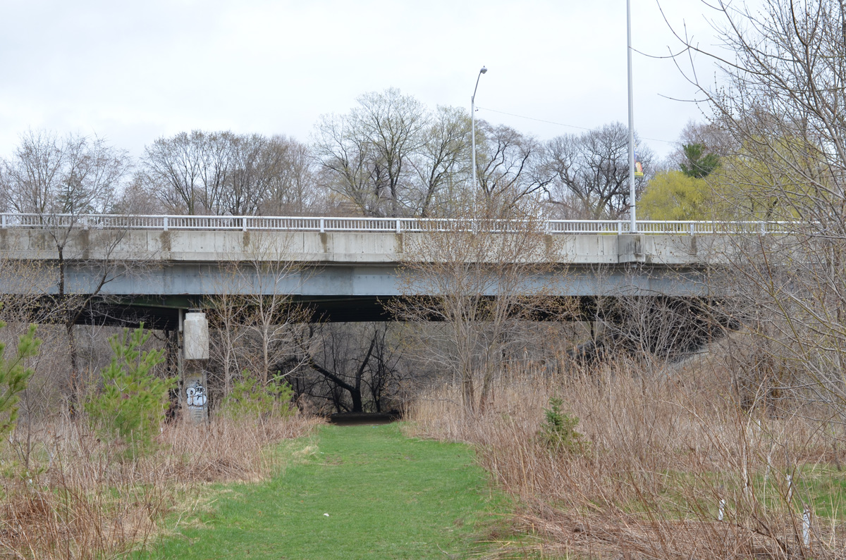
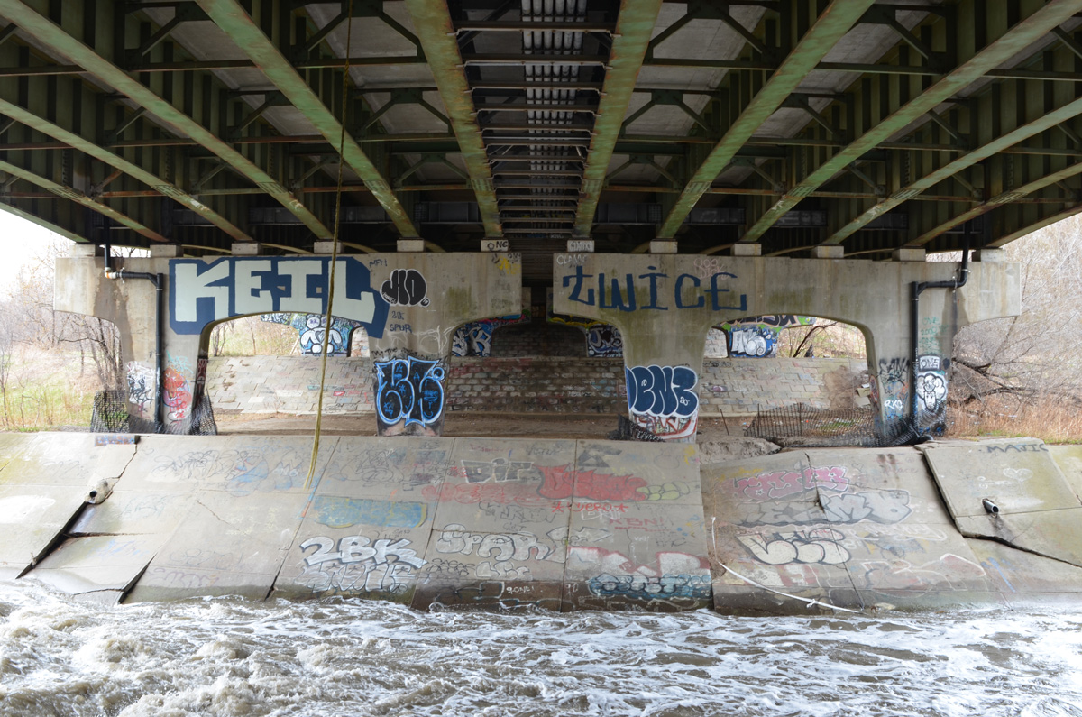
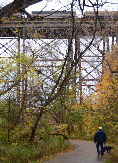
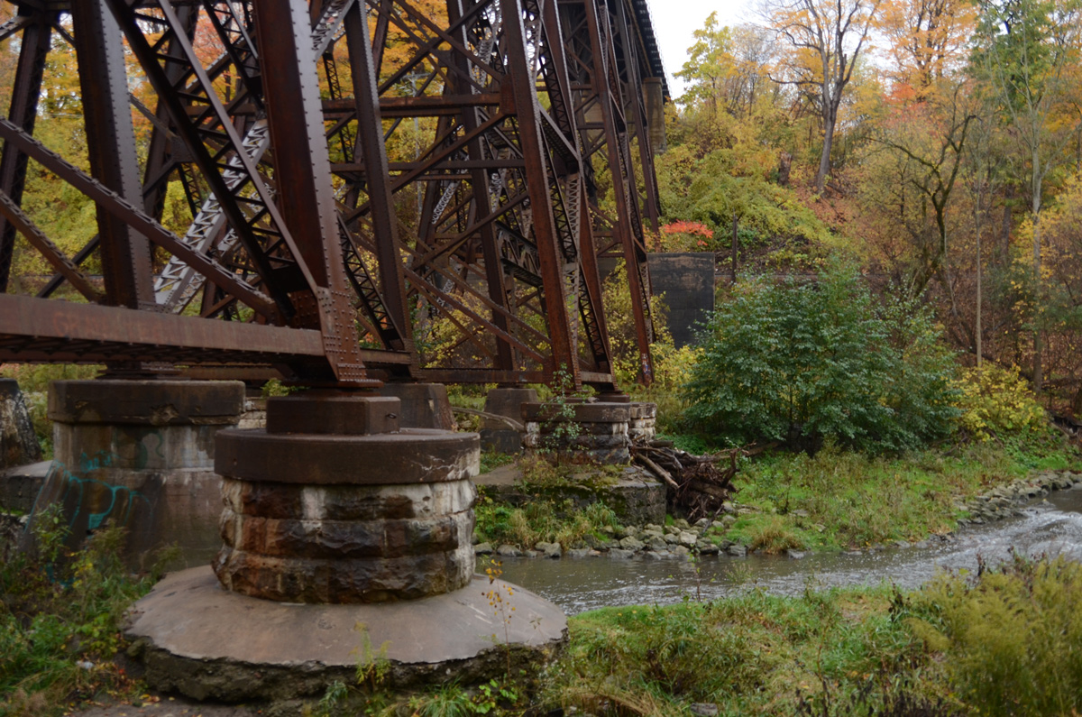
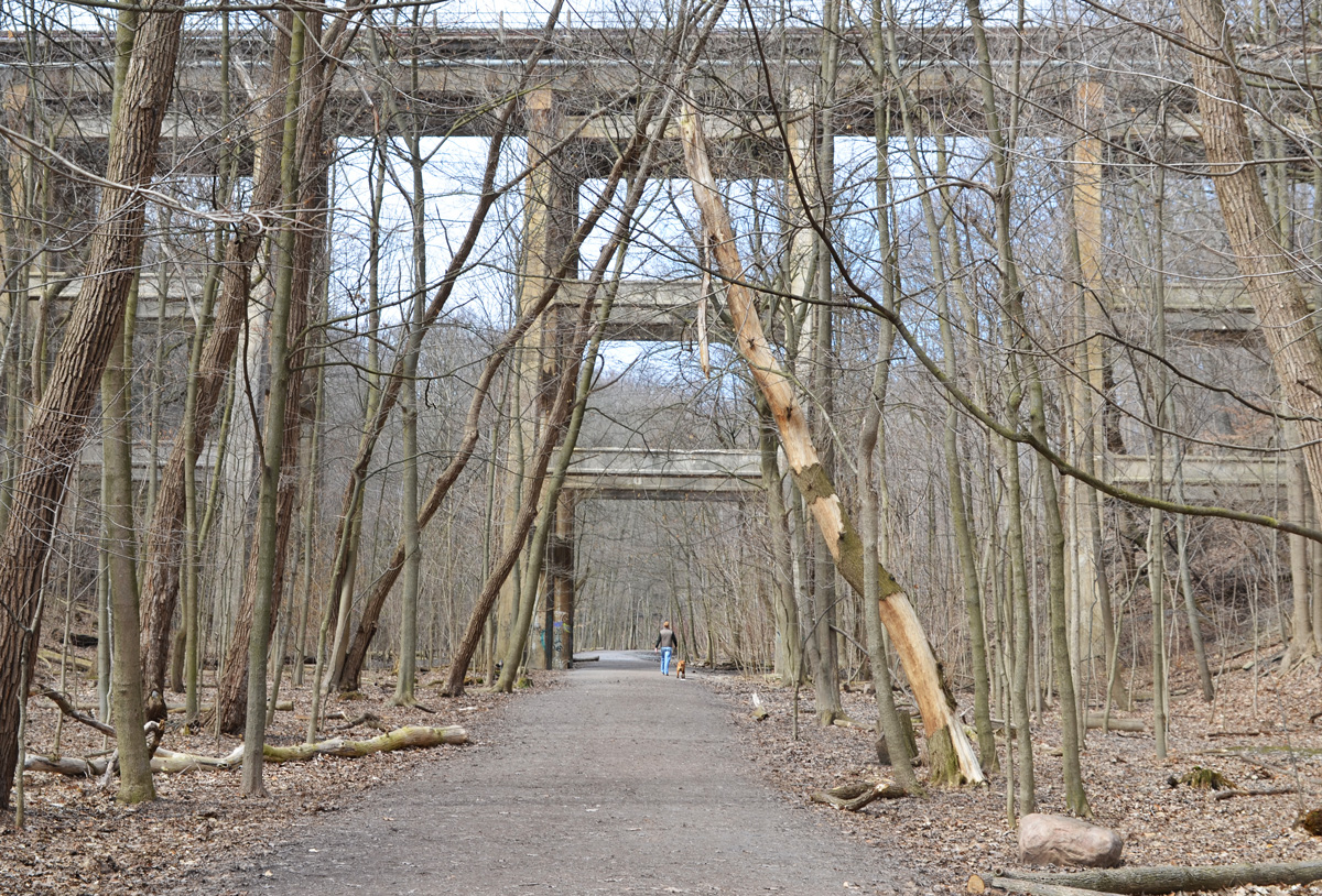
below: The old railway bridge over Bond is now part of the Don Mills Trail.  Originally it took 6 years to build (1912 to 1918) the bridge – using six 2-foot-thick beams that span the 15-foot-wide opening, spaced to handle the weight of locomotives and heavily loaded railway cars.

Don Mills trail access point at Bond Ave.,

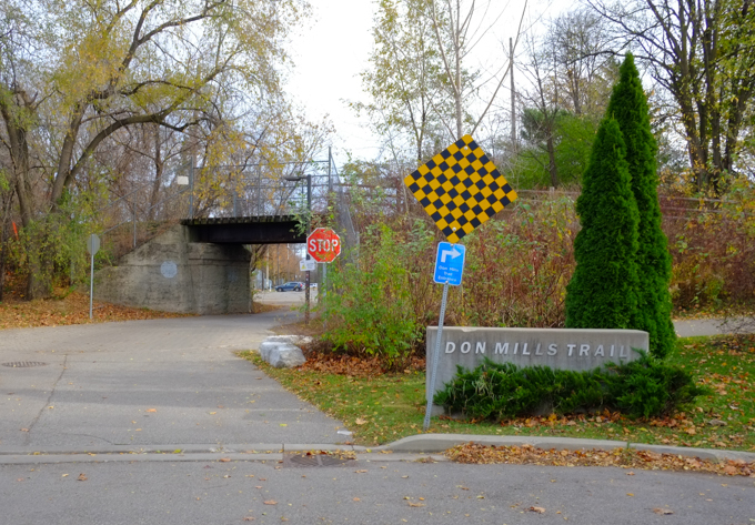
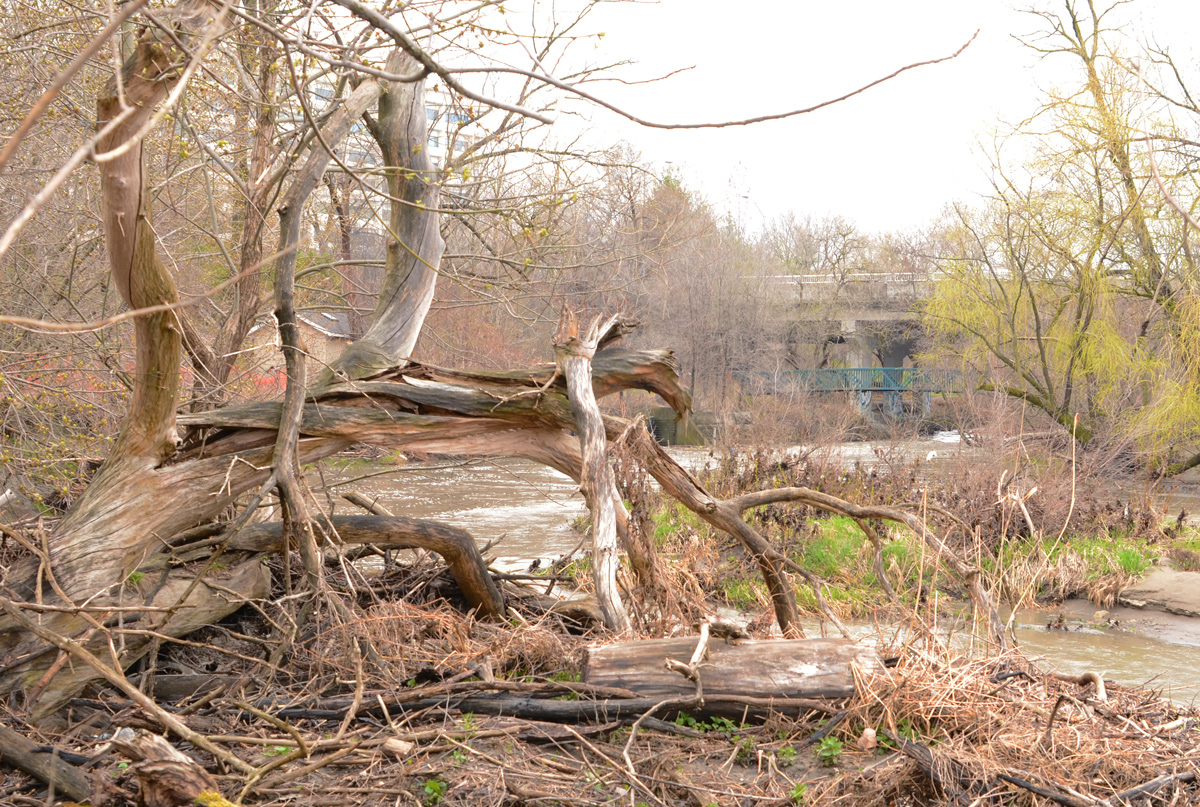
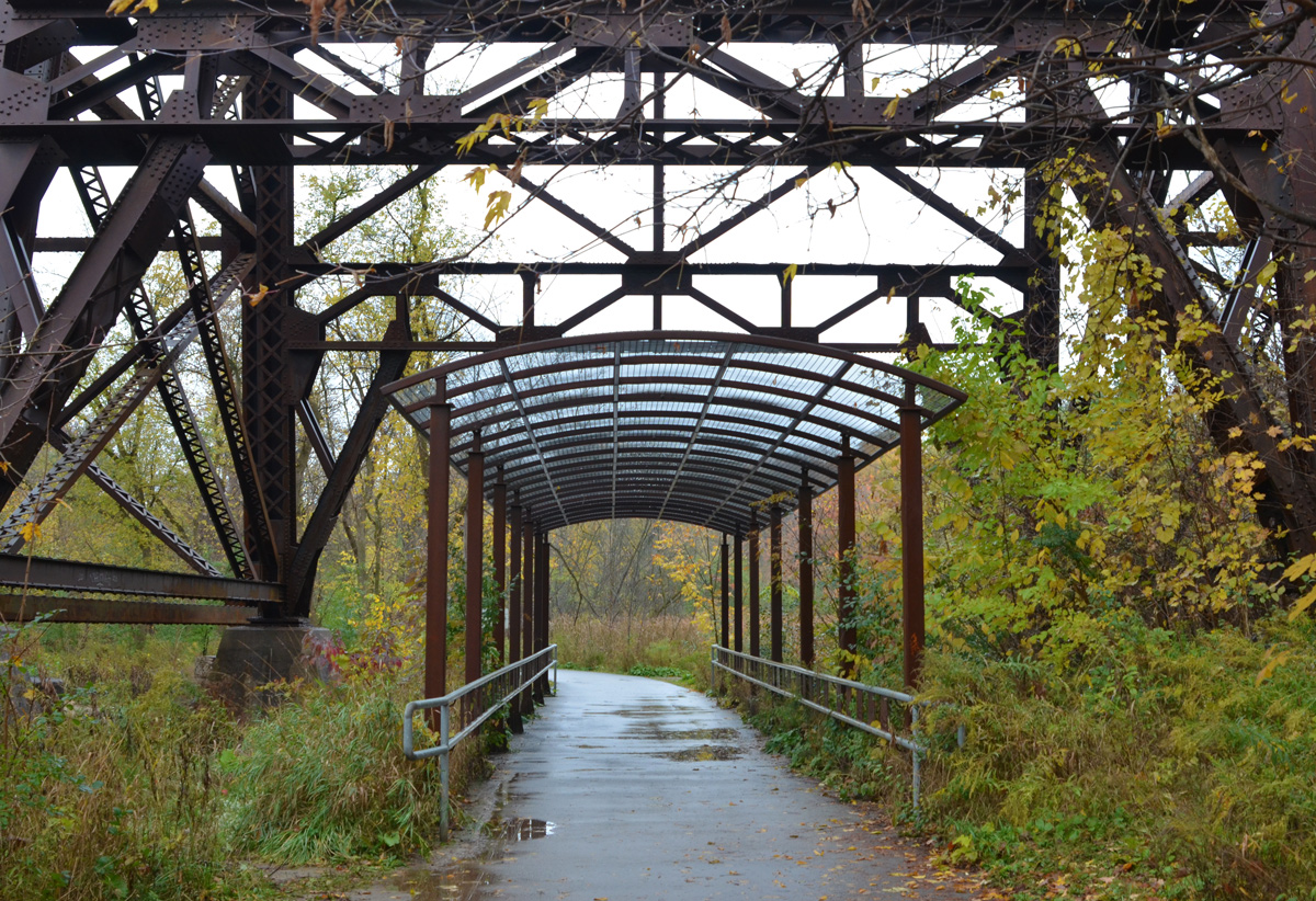
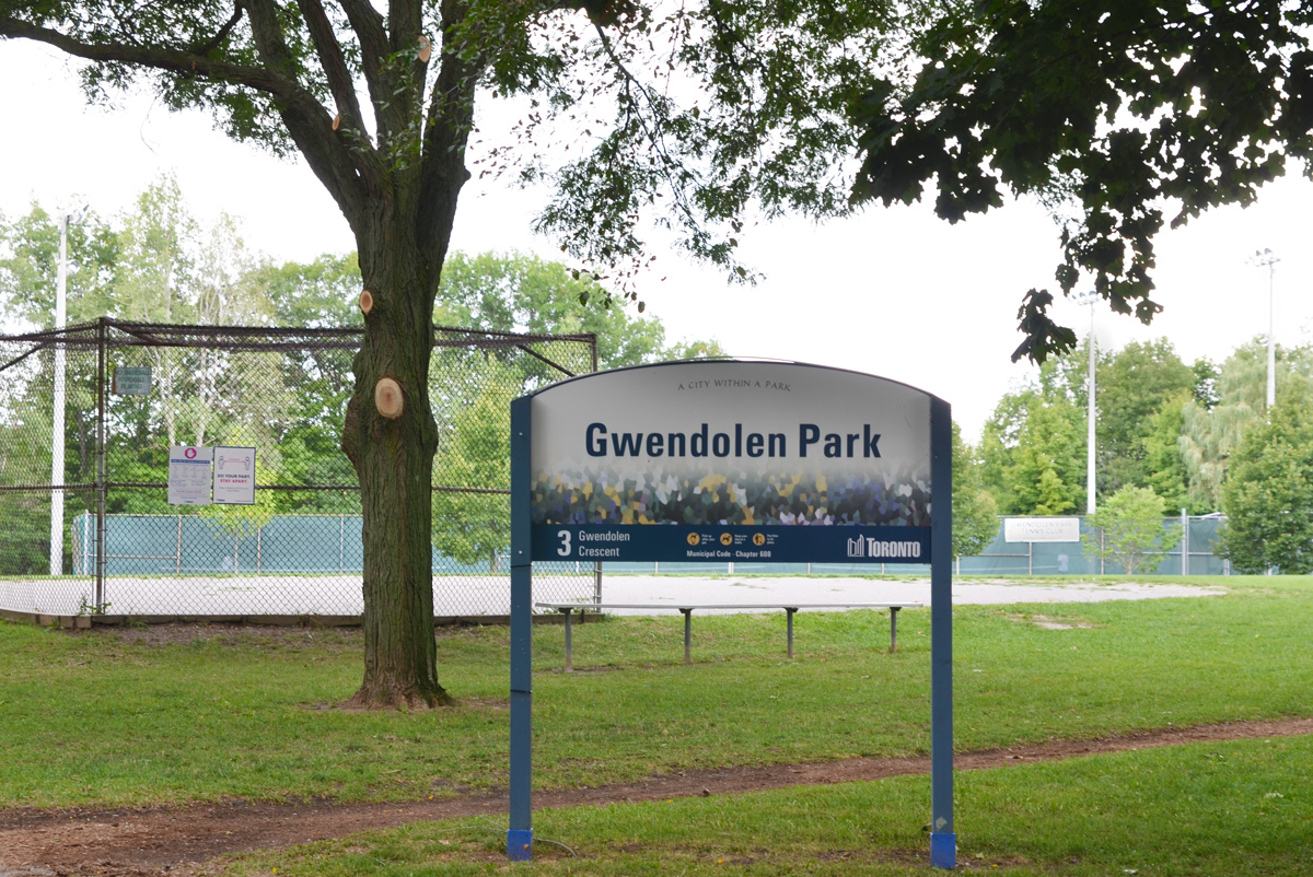
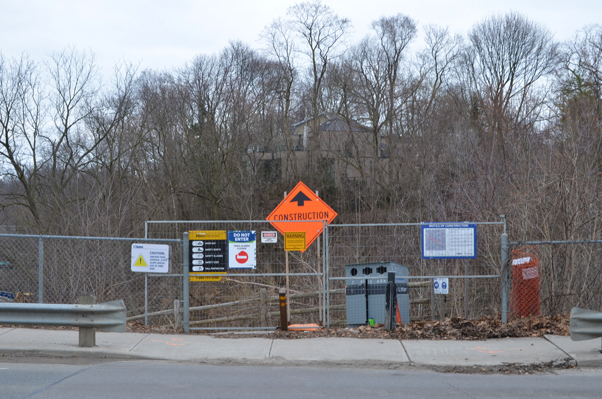
below: Also under the bridge is an entrance to Bond Park.

looking under a bridge to a parking lot in a park

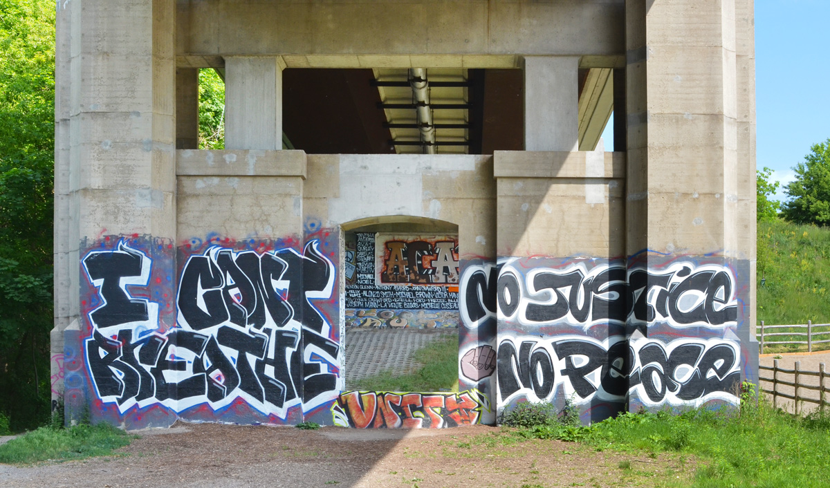
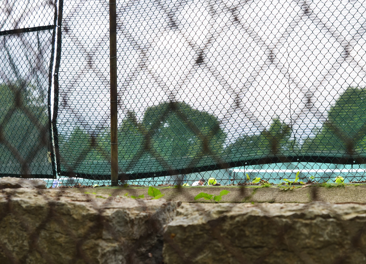
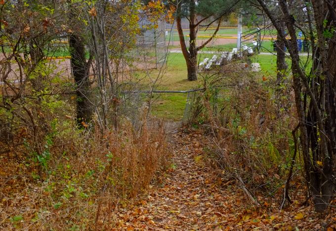
below: Another entrance to Bond Park, this time from the trail via a hole in the fence.

leaf covered path down a small hill to a hole in a chainlink fence, and a park with seating beside a baseball diamond in the background, lots of trees

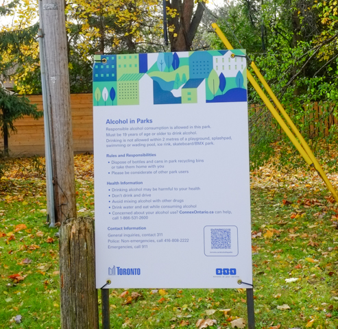
below: “Responsible alcohol consumption is allowed in this park”….rules and responsibilities are then listed along with health information about alcohol.

notice about alcohol in parks, and all the rules

autumn colours in the weeds and wildflowers beside a fence

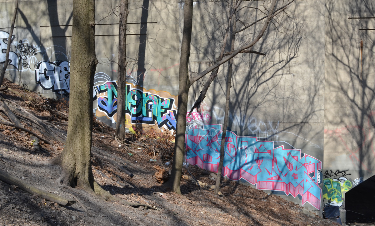
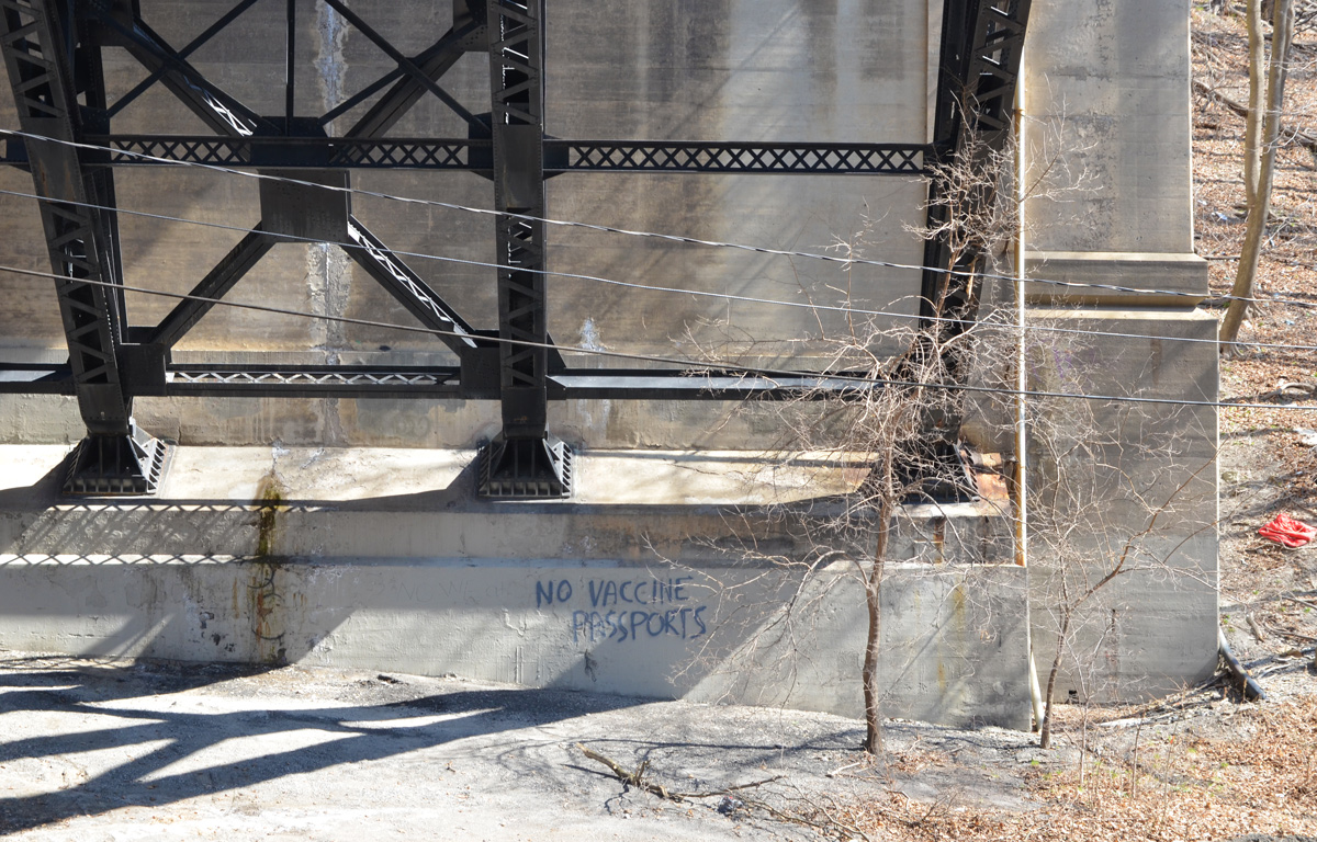
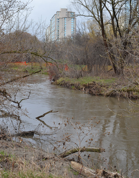
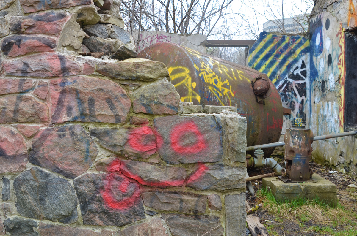
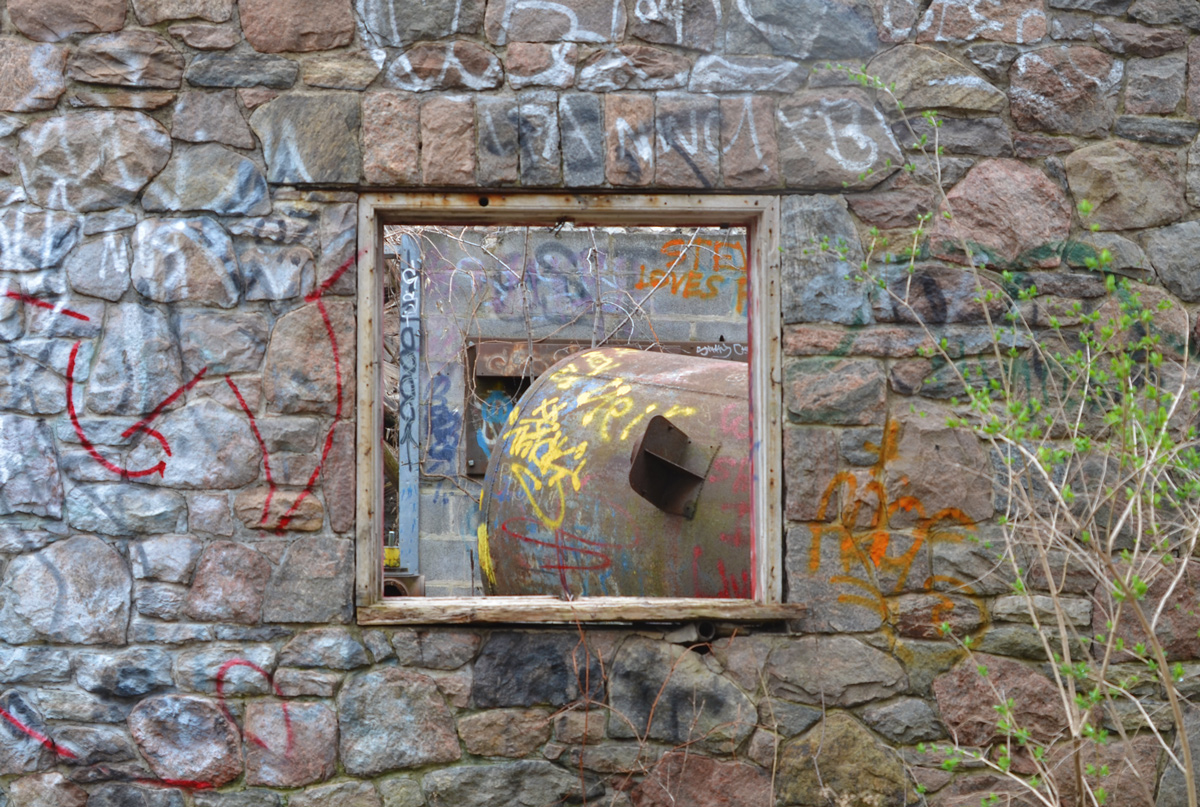
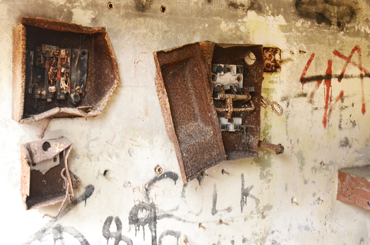
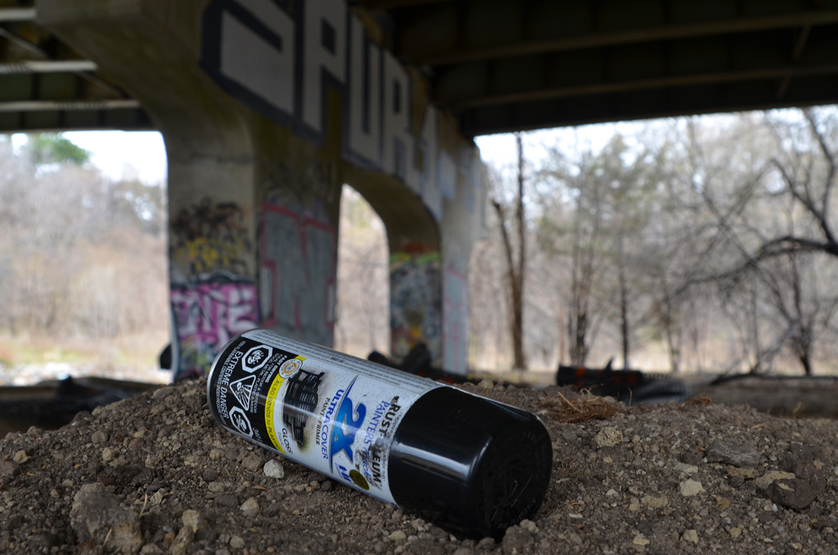
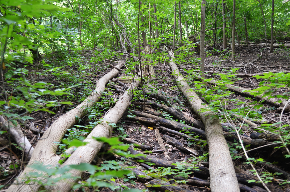
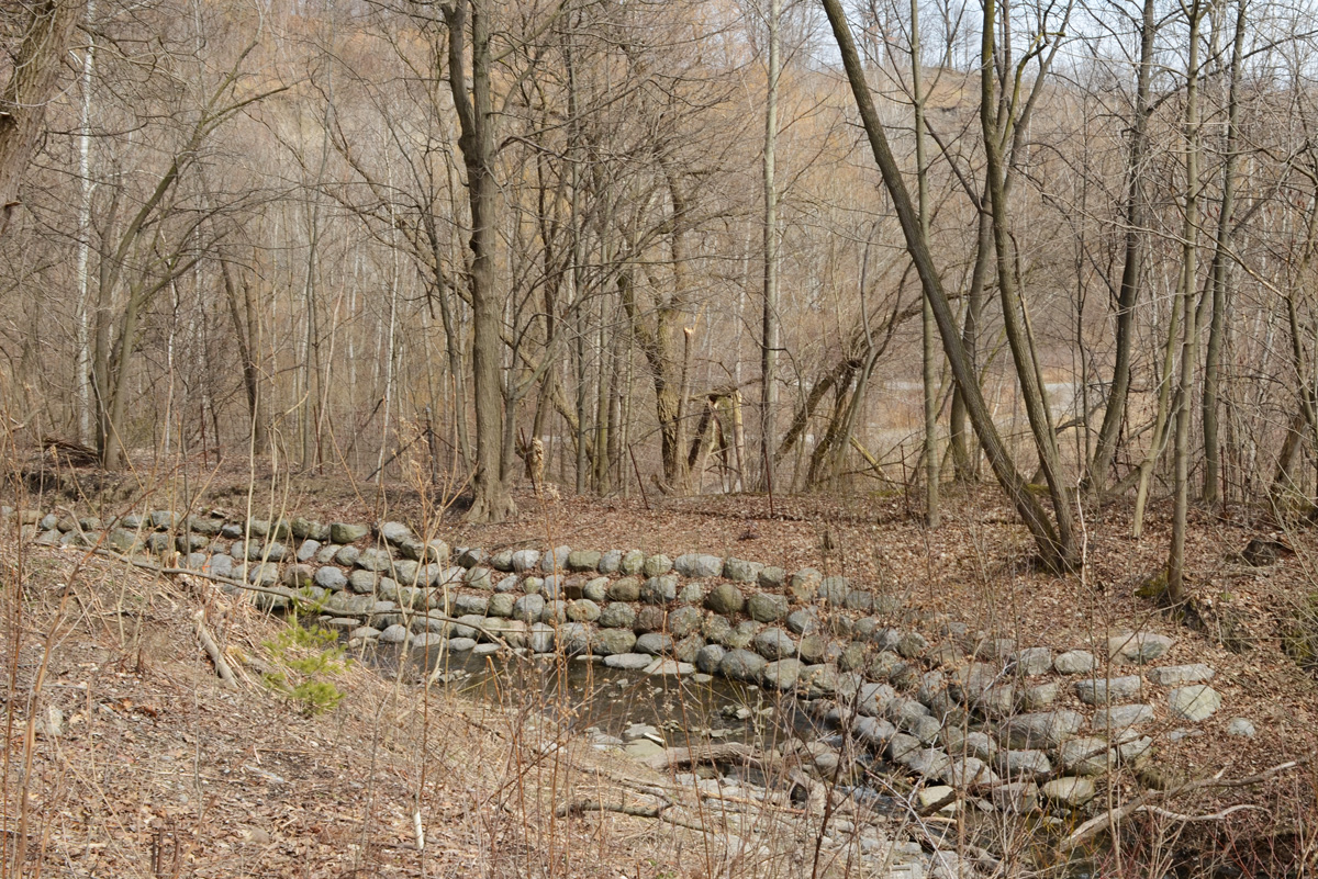
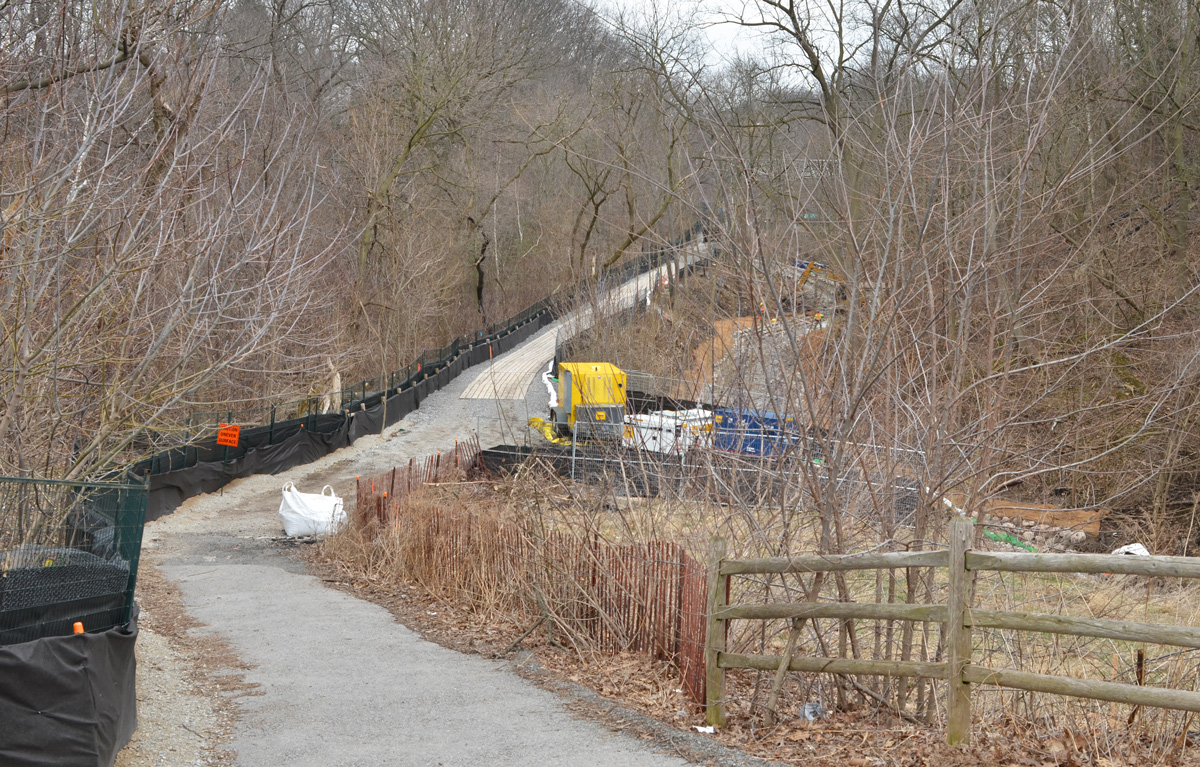
below: A few remnants of its former life.  Once upon a time this multi use path was a spur line for the CNR, the Leaside Spur.  One of its functions was to connect the CNR main line (now also used by GO to Oriole station and beyond) to the CPR line near Eglinton.  The CPR tracks are those that cross Eglinton just east of Leslie and then cross the Thorncliffe trestle bridge over Wilket Creek Park.  The path ends just before the CPR tracks – there is no connection any more.

old rusted railway sign, small trees have grown up around it

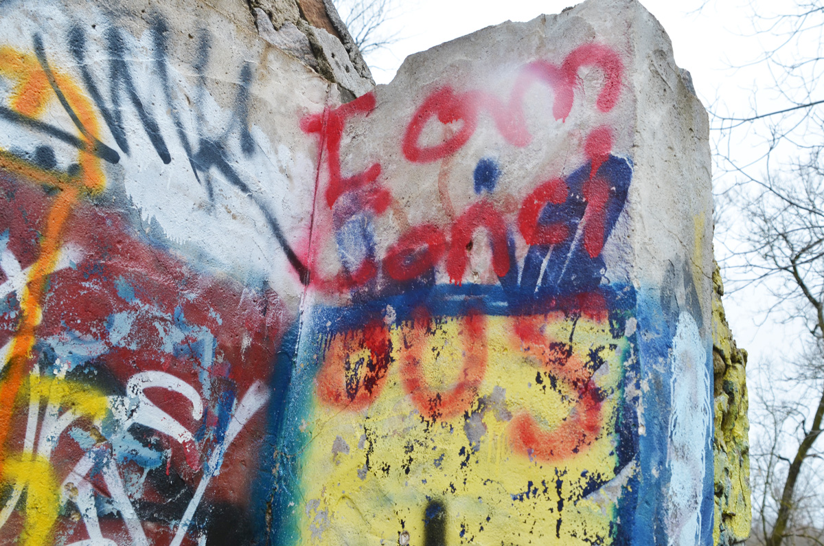
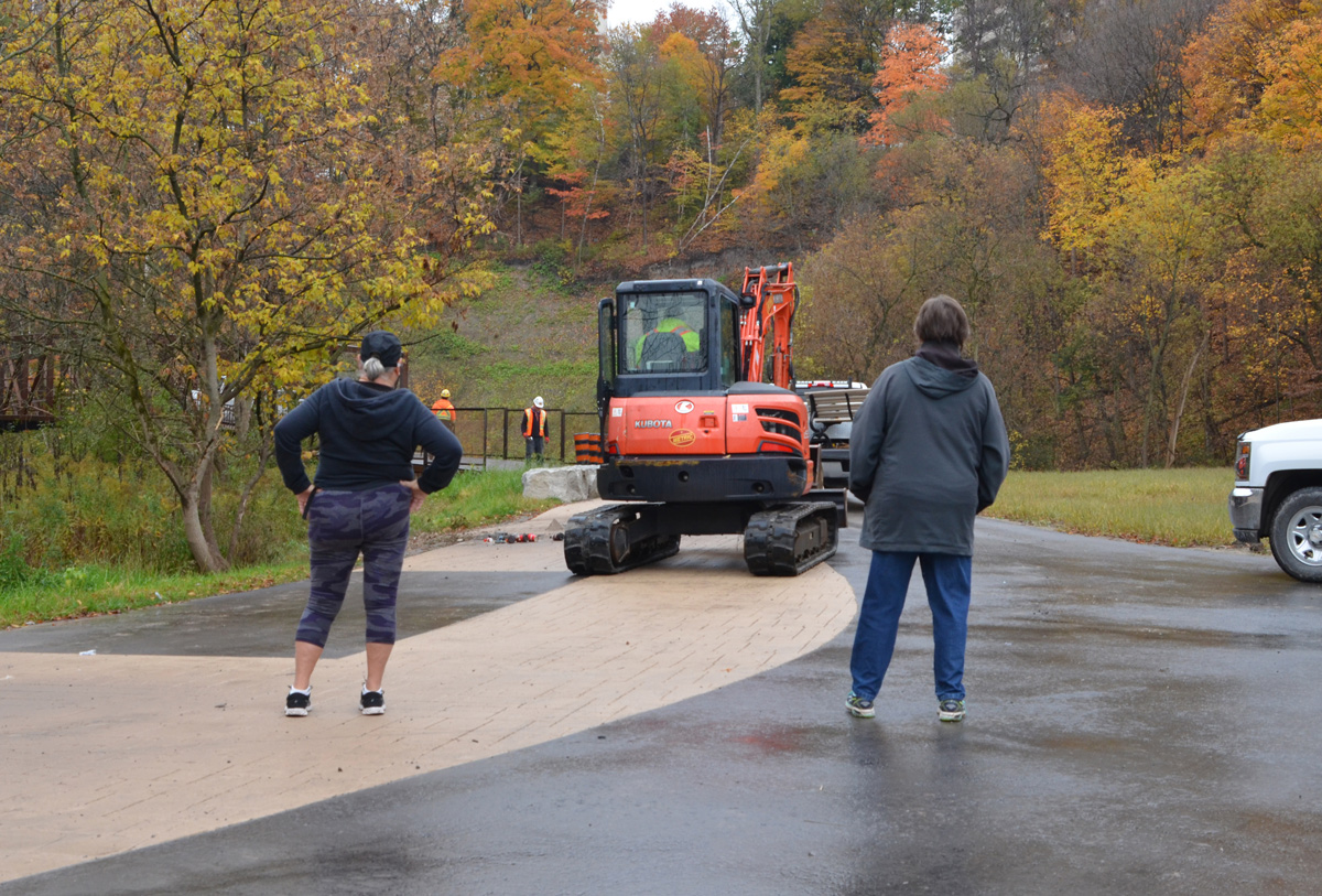
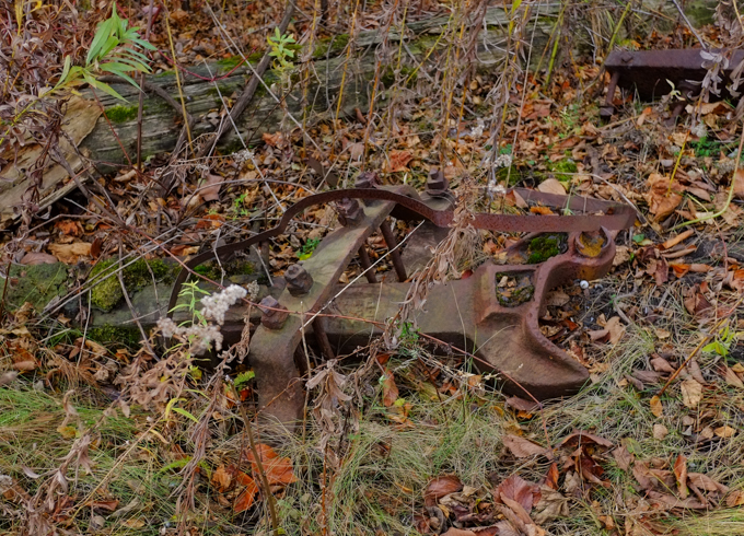
below: Abandoned and rusting.  CNR stopped using this spur line in 1999.  The city bought the property ten years later.

old piece of metal, remains of railway switch? or some piece of railway equipment, lying on the ground

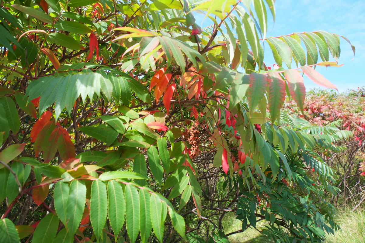
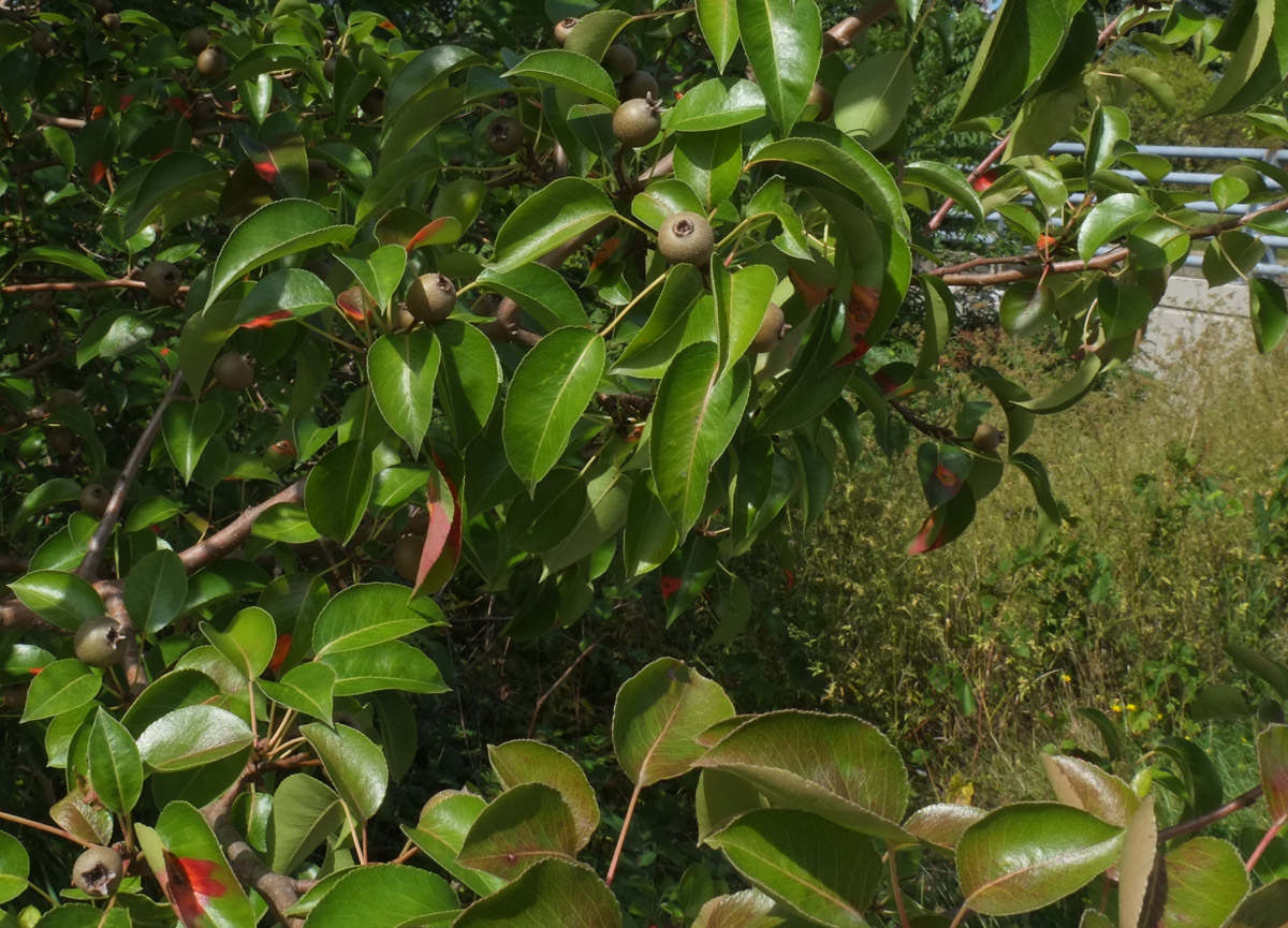
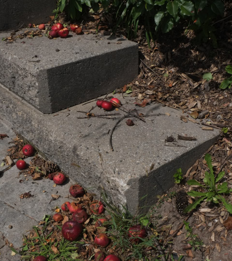
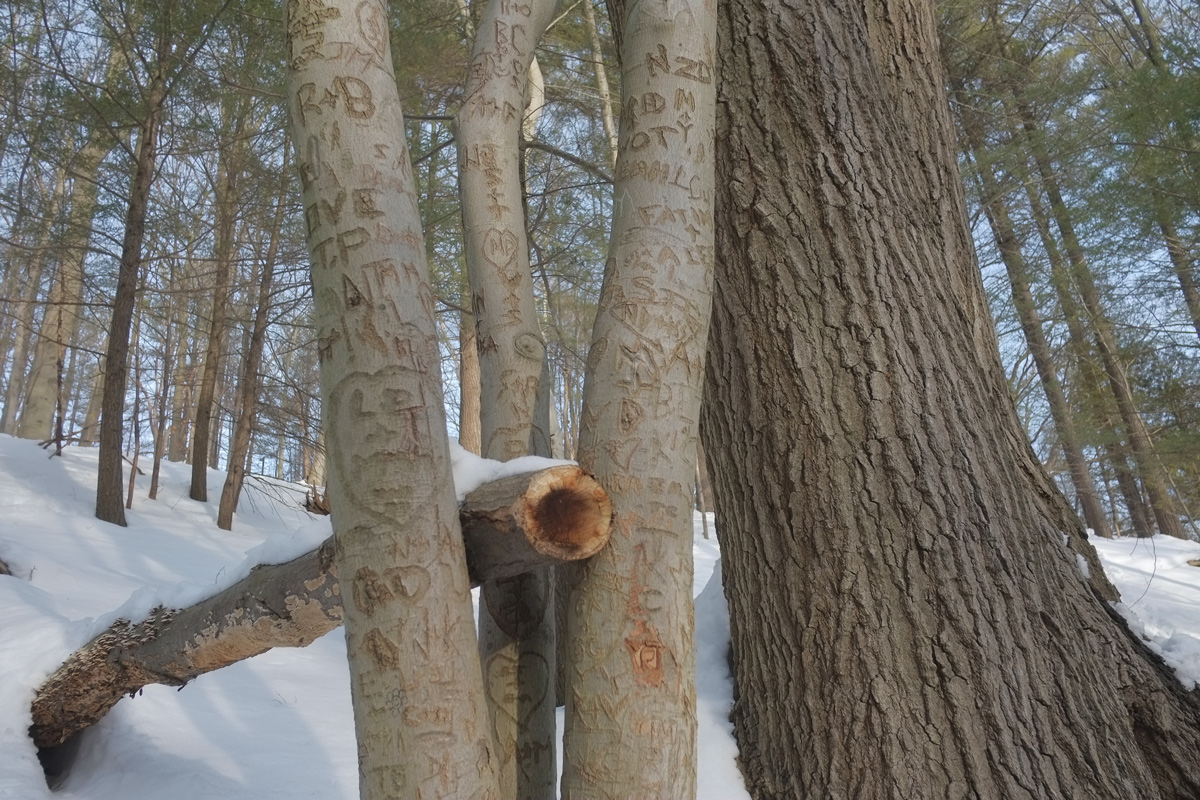
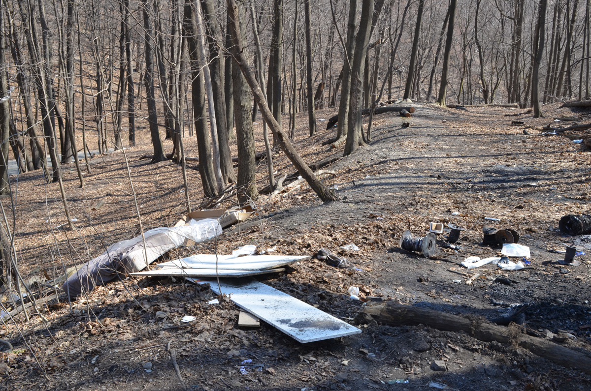
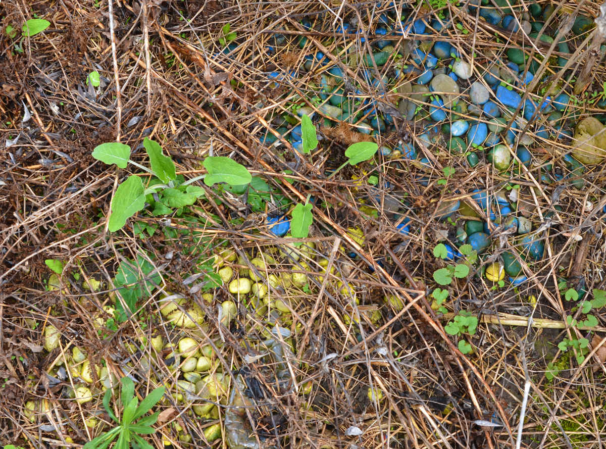
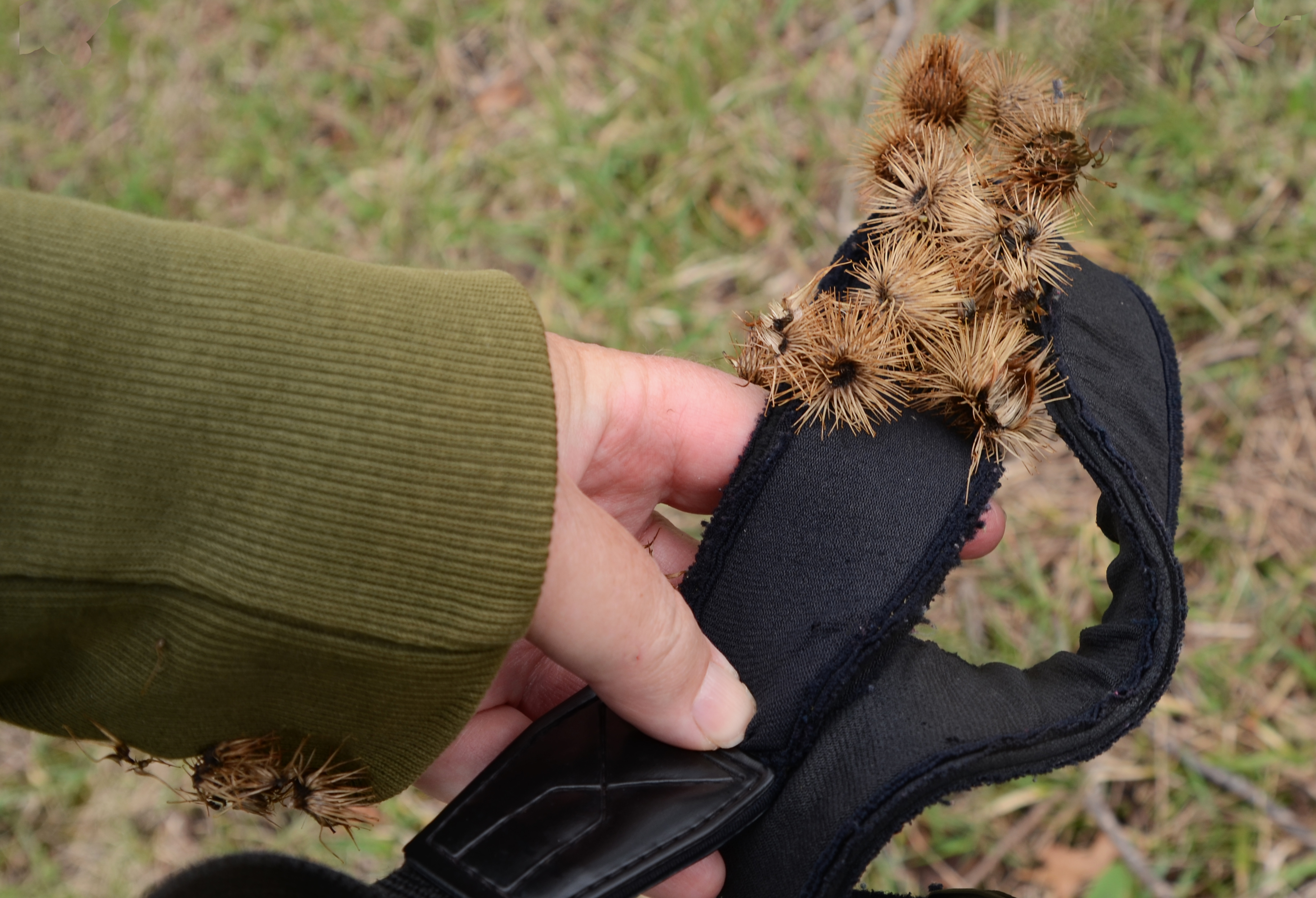
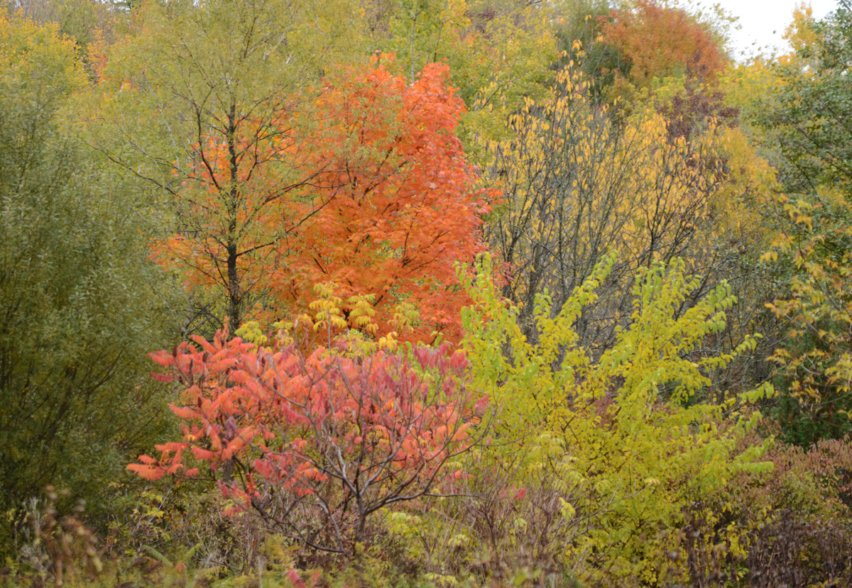
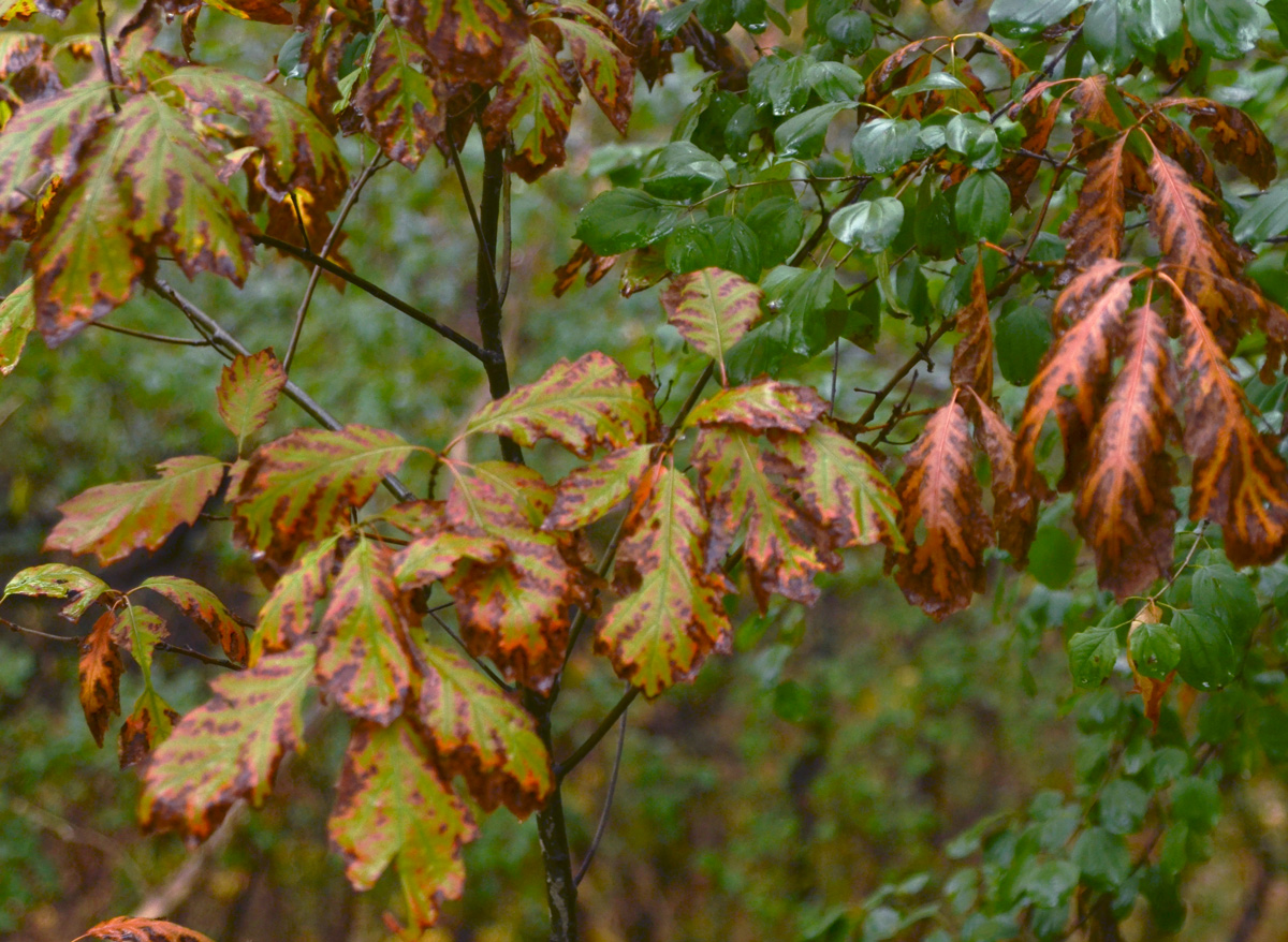
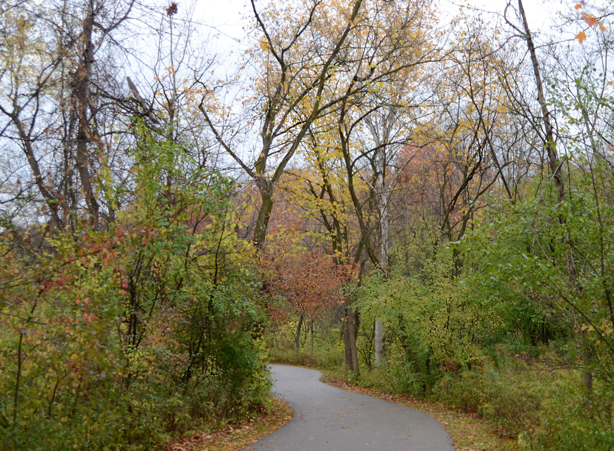
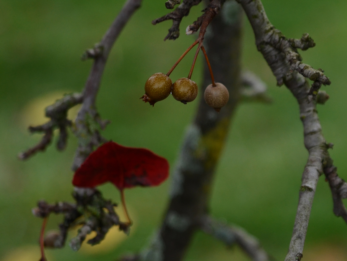
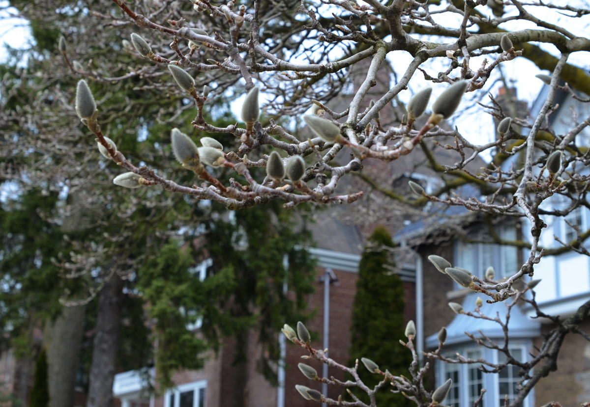
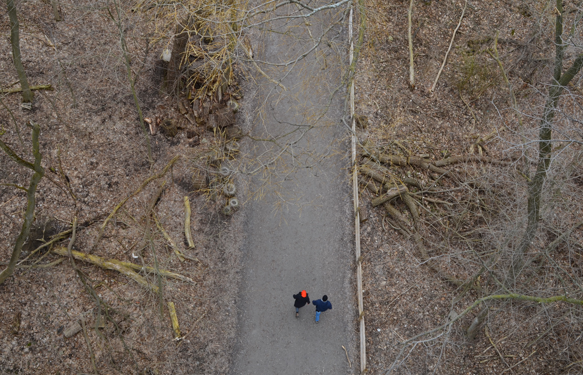
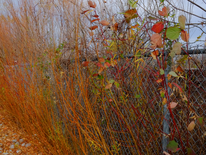
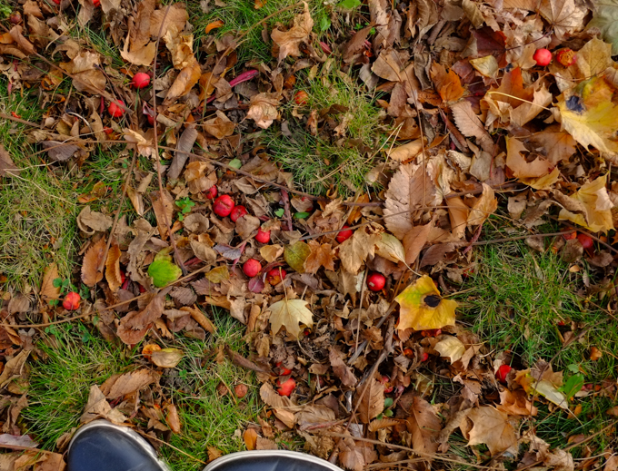
below: Crab apples and dead leaves litter the path

autumn leaves and little red crab apples cover the ground

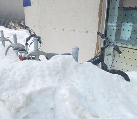
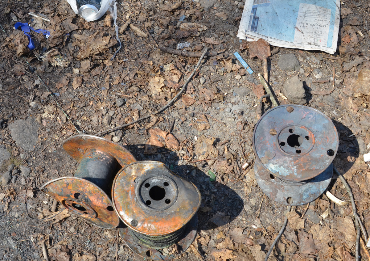
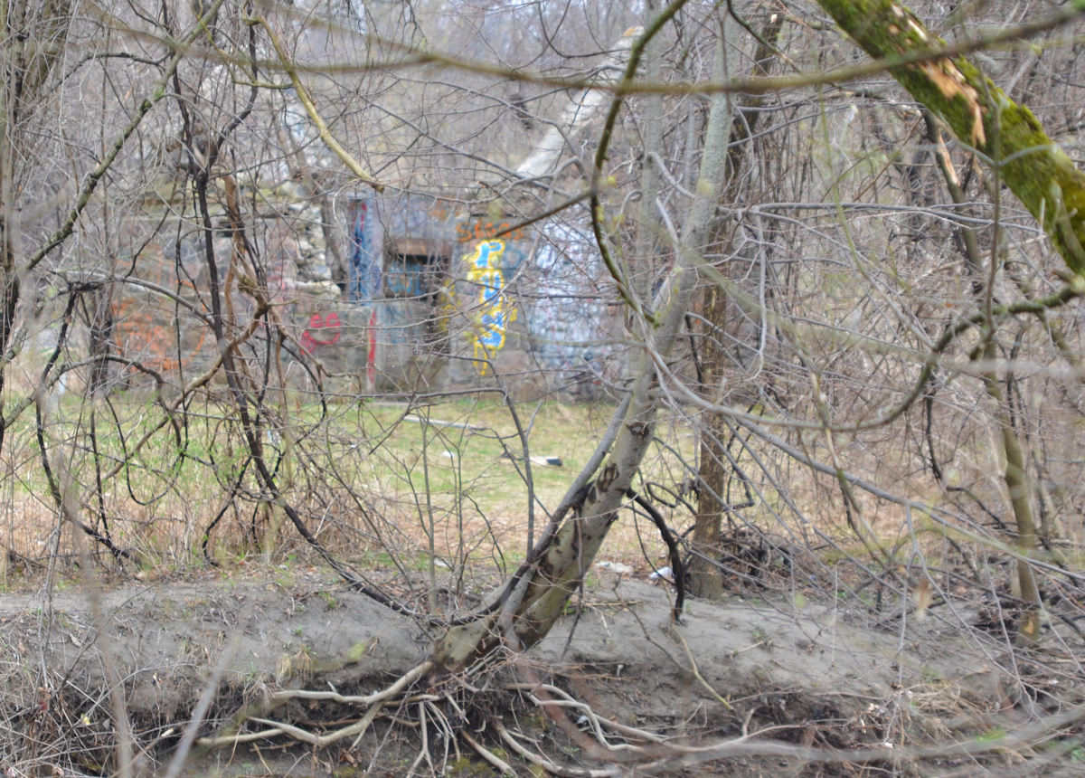
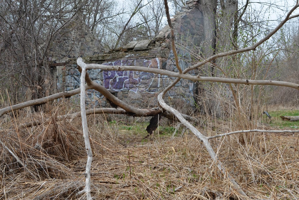
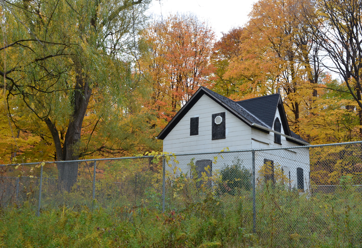
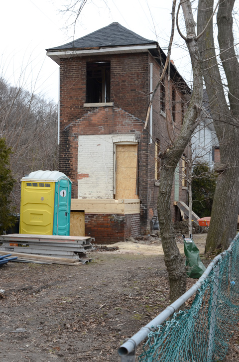
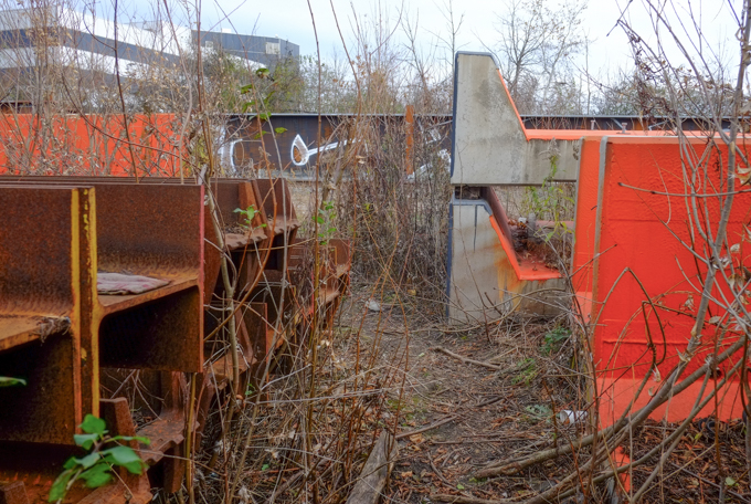
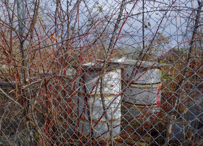
below: Storage in bins and barrels, on the other side of the fence.
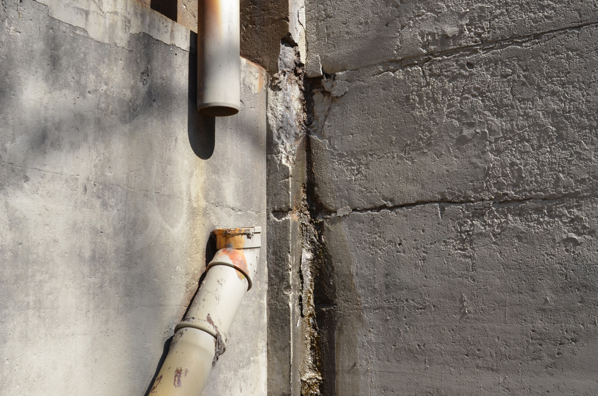
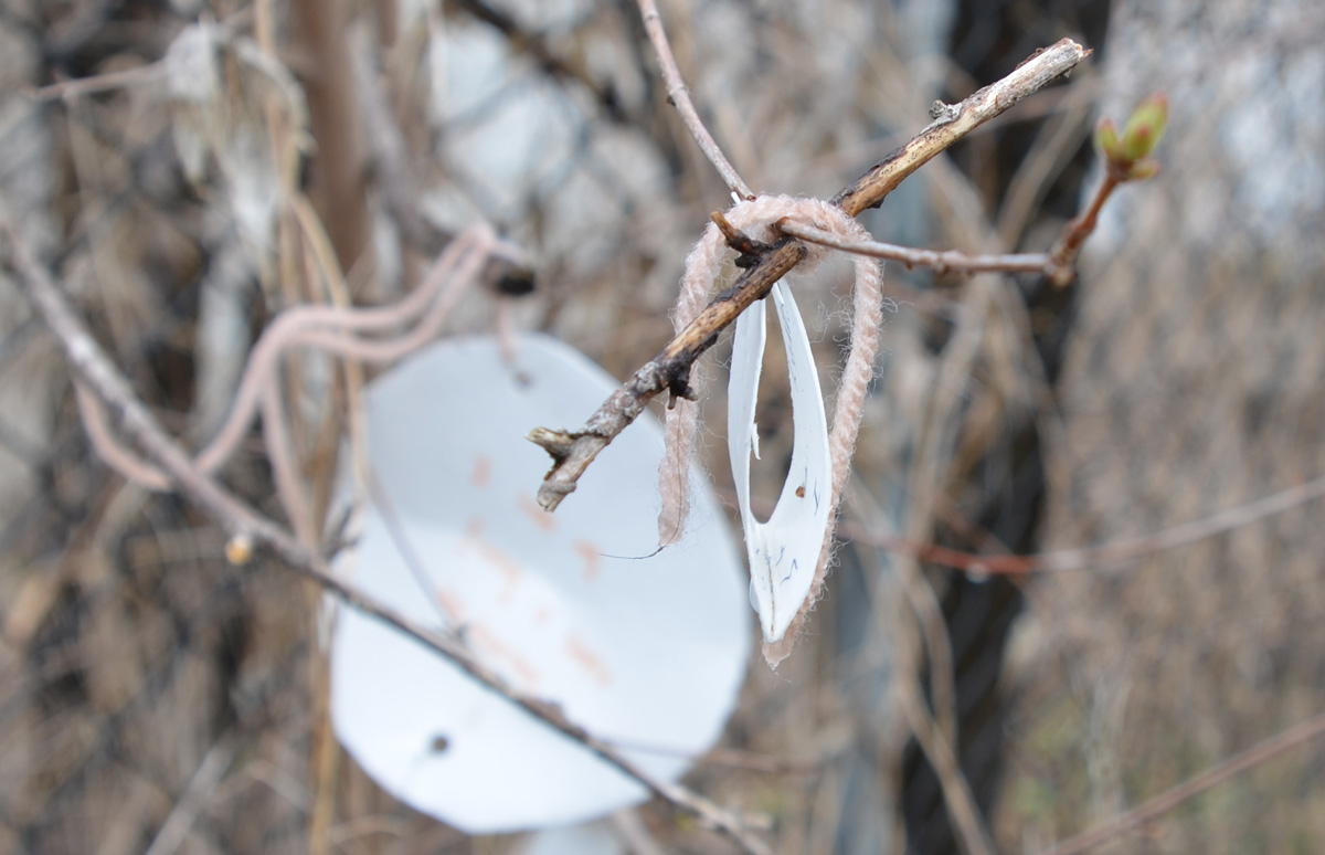
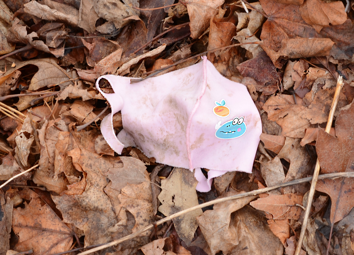
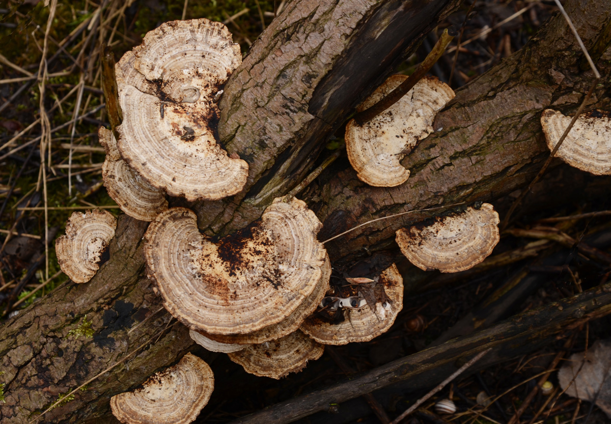
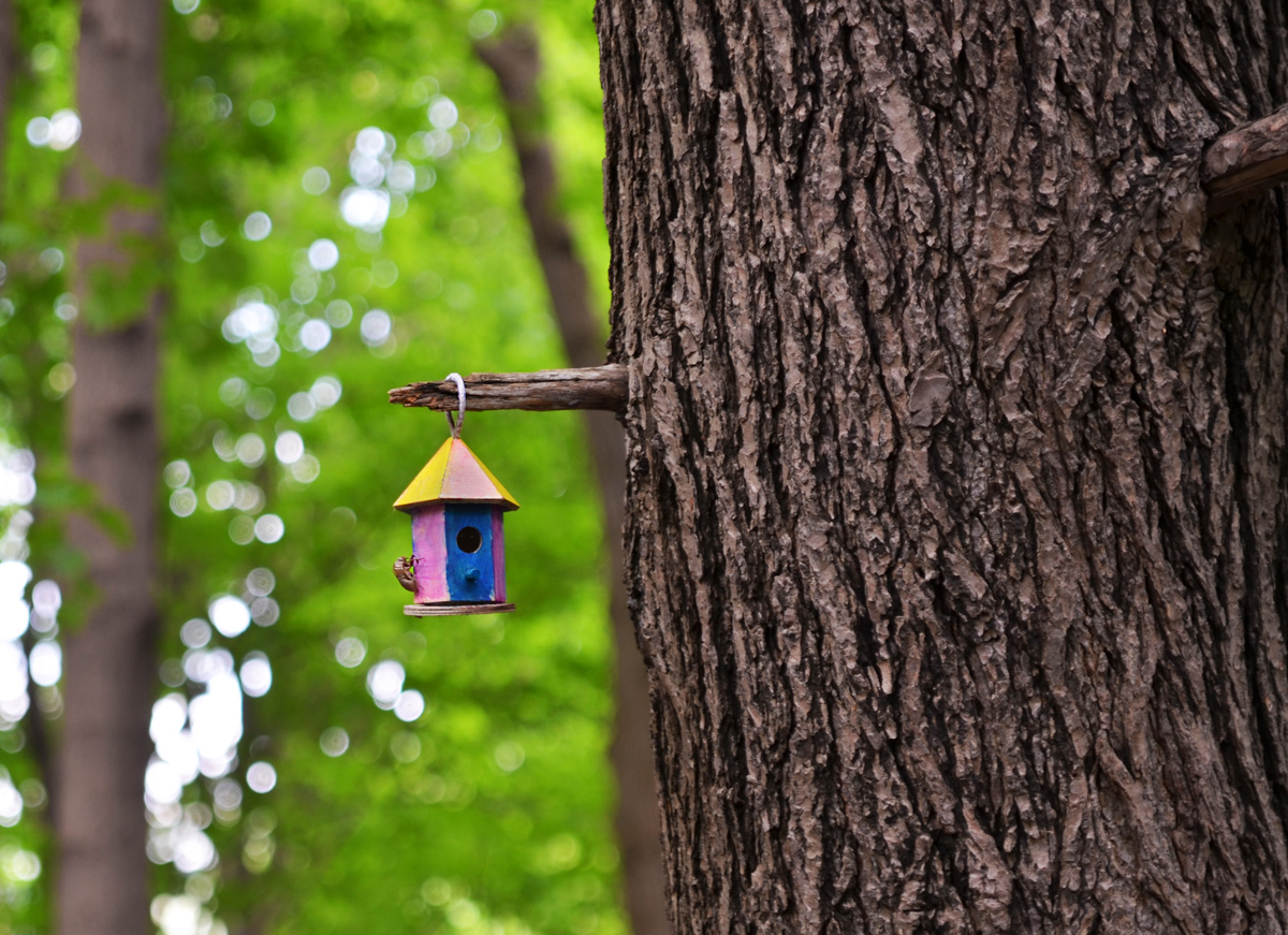
two old blue barrels, behind a fence, lots of undergrowth and weeds too

below: Left behind

discarded pair of boots, and some clothing, left on metal girders stored beside a railway track
stacks of rusty metal girders beside a railway track

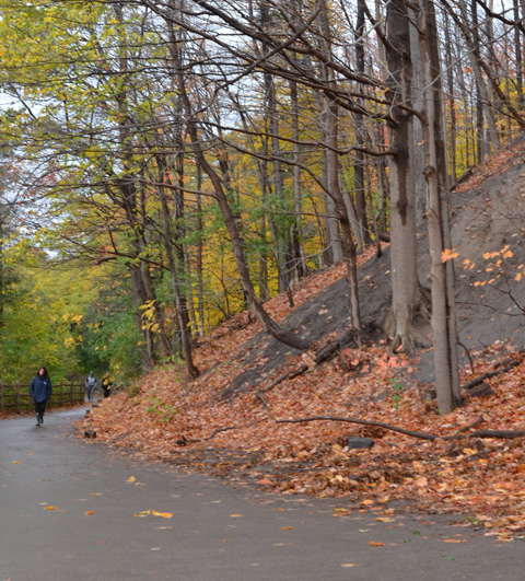
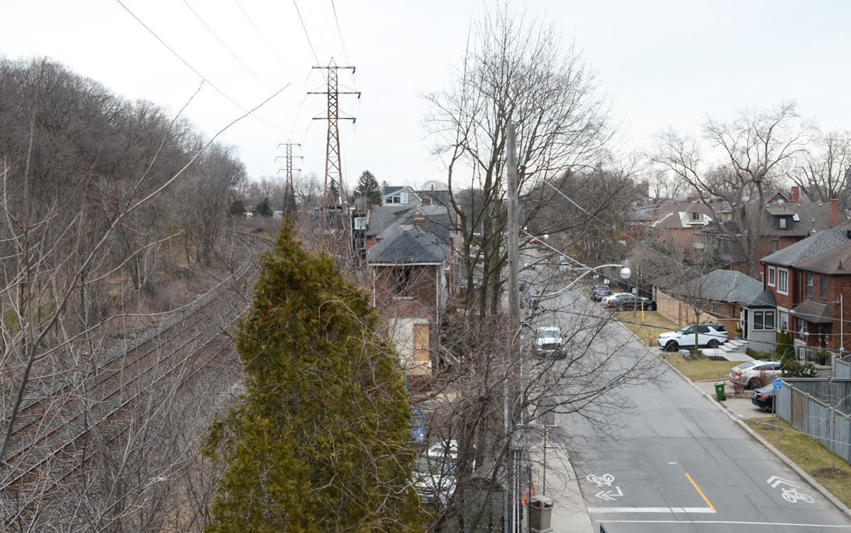
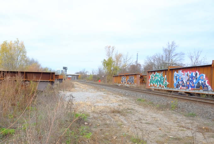
below: The north end of the Don Mills Trail runs beside the live CNR line.  Not much of a view is it?  No trains passed by.  Very quiet.

looking northward up the CNR railway tracks from a hole in the fence by the DOn Mills trail.

old white barrels, behind a fence, weeds and small bushes growing up around them

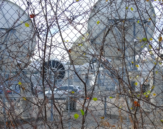
below: Many, many large satelite dishes (and many small ones too).  I was feeling like a spy as I tried to take pictures through the fence… but I didn’t see any surveillance cameras…

satelite dishes behind a fence

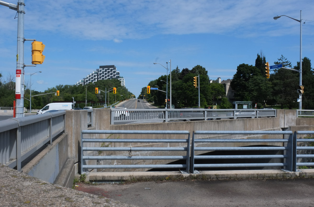
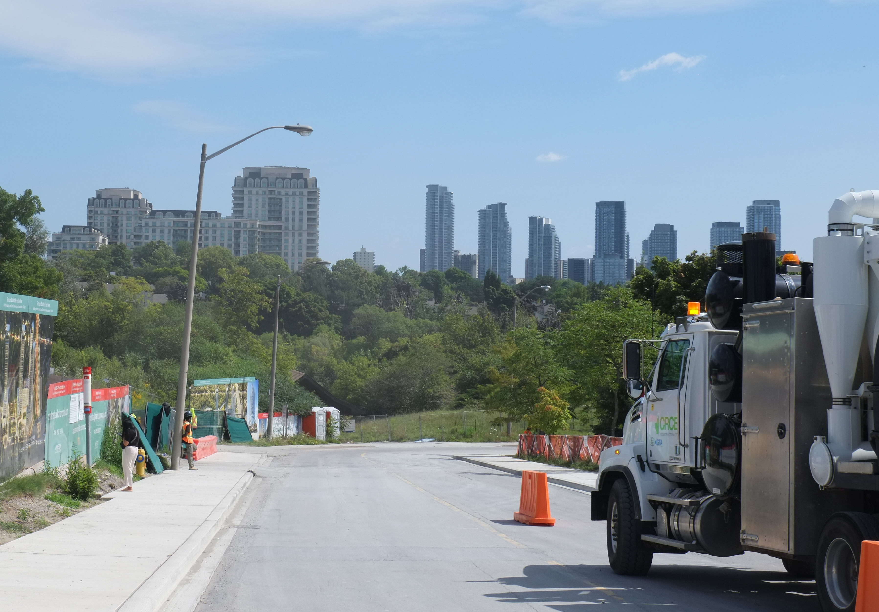
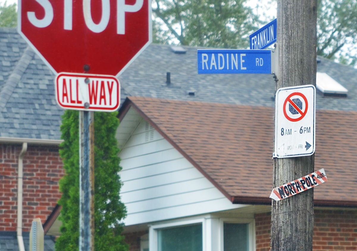
below: Approaching York Mills Road

looking north up don mills trail towards york mills road, where there is a bridge over the railway tracks, a large pair of billboards on a tall pillar, dead leaves beside path, shrubs and weeds along the fence

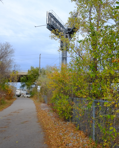
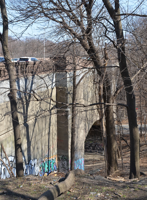
below: The north end of the trail runs beside the bridge York Mills over the railway tracks (on the right in this picture).  From here there is an access road to Scarsdale on the south side of York Mills, or an exit through to Longos Plaza on the north side.
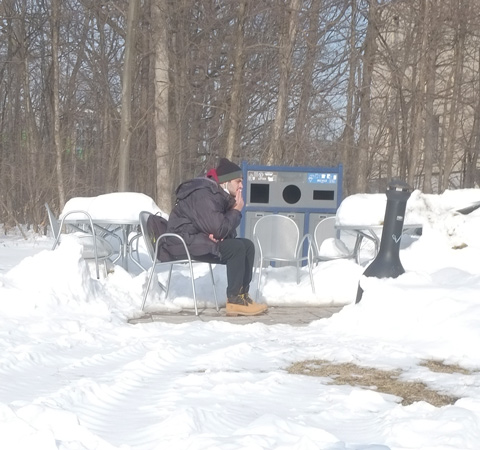
below: Have a seat!

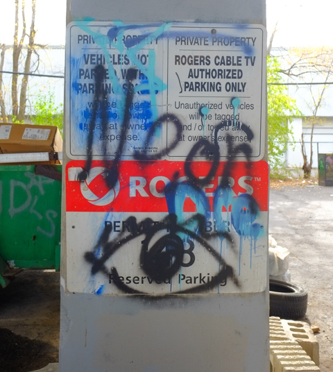
below: Rogers has a large property on the east side of the CNR tracks and has access to this area.

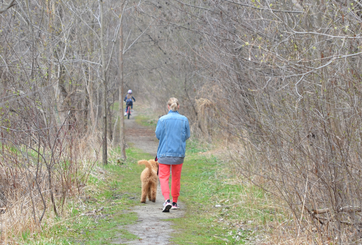
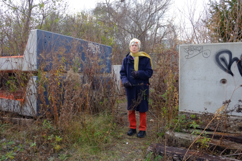
With thanks to my mother for walking with me – she didn’t hesitate to climb through holes in the fence!  She also doesn’t like this picture, but it’s the better of the two that I took that morning!

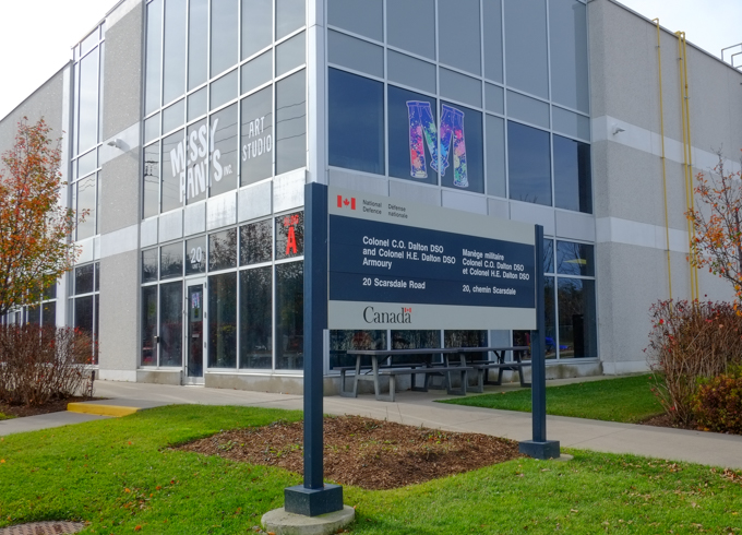
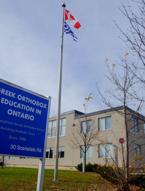
Bonus section! Just in case you are interested in what’s on Scarsdale Road….

below: Colonel C.O. Dalton CSO and Colonel H.E. Dalton CSO Armoury

sign in front of building,

below: Greek Orthodox Education in Ontario – Metamorphosis Greek Orthodox School.

flags on flagpole, Canadian and GReek, in front of Greek Orthodox Education building

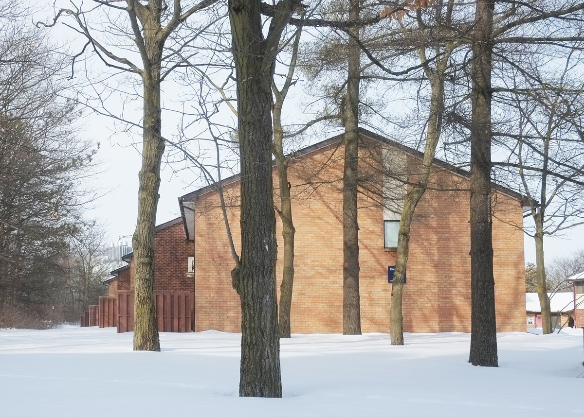
below: Korean Presbyterian Church

side view of front of Toronto Korean Presbyterian church, large roof over entrance, small white steeple, light grey brick building.


The best laid plans….

Tucked away on a dead end suburban street is a little park with a monument in it.  A monument to a couple, Henry Mulholland and Jane Armstrong.

stone pillar about 6 feet high, with plaque, memorial for Henry Mulholland

Dedicated to the memory of Henry Mulholland and his wife Jane Armstrong. Pioneers of this district who emigrated from Ulster in 1806 and took out the original grant of four hundred acres from the crown. He fought in the War of 1812 and later returned to Ireland to induce further emigration. While returning was drowned in the wreck of the Lady of the Lake in the Straits of Belle Isle in 1833. Erected by the eight branches of their descendents, 1937.

The ‘Lady of the Lake’ sailed from Belfast on 8 April 1833.  She was bound for Quebec with 233 passengers aboard – mostly immigrants. On the morning of 11th May, off the coast of Newfoundland, the ship struck an iceberg.  Only a few people survived.

Jane was not with her husband on that trip, instead she was at home with her 10 surviving children, the youngest of whom, Henry Jr. was born in 1829.  Two more children later died of smallpox.

Jane and Henry were married in Co. Monaghan Ireland in 1806 so they must have emigrated as newlyweds.  Their first child, Mary Ann, was born in 1807.

The 400 acres that the couple were granted were Lots 14 and 15, Con 3 in East York (south of what is now Sheppard and east of what is now Leslie).  They built a log house on an island in the East Don River.   Fast forward a number of years, after a number of changes of ownership and many changes in the neighbourhood, Henry and Jane’s great grandson, George Stewart Henry bought the farmhouse and property at Lot 14 Con 3 (for $14,500) to bring it back into the family.

The name George S. Henry may be more familiar to some of you.  There is a high school named after him, and a whole neighbourhood, Henry Farms.

The reason that I found the Mulholland cairn?  It is located close to one of the entrances to the Betty Sutherland Trail, just north of the 401 highway.  A few years ago I walked the south end of this trail (you can read about it here: Paths to ruin and a course, 2021).  Now I wanted to walk the northern section as well.

below: An ominous sign, construction on the trail!

signs at the beginning of the Betty Sutherland Trail

below: It wasn’t long before the trail ended.  There were six signs to warn us.  The end was at the 401 highway.

Rather than retracing our steps, we went down to the river’s edge.

The East Don River flows under the 401

We headed back north instead of south. …Over a piece of the path that had washed out in the August flooding.

below: stag horn sumac

below: pear tree

below: swamp bush sumac

below: North York General Hospital in the background.

below: The East Don River flows diagonally under the Leslie Sheppard intersection.  The black and white highrise in the distance is farther north up Leslie Street.

below: Looking west along Sheppard towards railway bridge

below: Seen just outside of Leslie subway station (at Sheppard).  We didn’t see any wildlife, just a lot of traffic.

Apples on the sidewalk, north side of Sheppard…. Seems to suggest that once upon a time someone lived here and planted apples.

below: Looking east

below: Teasels

below: Chinese Crab Apple tree

Now on the East Don Trail (north of Sheppard) where there is more construction.  Also, a large number of new trees have been planted.

below: Strange artwork outside Canadian Tire, just west of Leslie

Getting back to “Best laid plans”…..   You may have noticed that these aren’t the most recent pictures (wrong season!)….  This post was written back in early September and I thought that I had uploaded it.  Ooops.  Forgot.

A bench at Edwards Gardens… late February.  It’s been a warmer than usual winter without much snow.  February ended on a warm streak that has continued into March.  These photos were taken at Edwards Gardens before I realized just how early spring might be this year.

a couple, man and woman, site on a bench beside the path at Edwards Gardens, with trees in the background, winter but no snow, no leave on the trees

The giant willow tree has hardly begun to turn yellow like it does every spring.

large willow tree in Edwards Gardens in February winter but no snow, no leaves on tree, person walking on the path towards the willow tree

two people on the path beside the Wilket Creek, some small tree between them and the camera

A little bit of snow and ice linger in the shadier parts along the path.

rocks along the shore of Wilket Creek at Edwards Gardens, grass, and then red stems of dogwood shrubs before a path and then the forest beyond, some snow under the trees

two Canada geese in the shallow waters of Wilket Creek by one of the bridges at Edwards Gardens, sand on the shore of the river, winter, no snow,

a tree branch overhanging the Wilket Creek, people walking on the path in the background

brown dead maple leaves slightly curled at the edges, lying on the dirt on the ground, some small twigs too

a path through the woods at Edwards Gardens, dead leaves cover the ground, no leaves on the trees, winter, but no snow

ivy growing up the trunk of a larger tree with rough bark

dead hydrangea blossoms on branch with spruce tree in the background along with dead leaves on the ground

red window box on a white building, winter greenery in the box, cedar, pine,

old house building and newer greenhouse at Edwards Gardens, crab apple tree in the foreground with lots of small crab apples on it, no leaves, February, winter but no snow

A monkey – a light-hearted touch in the greenhouse where it’s warm all year round.

a stuffed toy monkey on a small palm tree in a green house

In 1913, businessman Miller Lash bought a piece of land at what is now Old Kingston Road and Morningside Avenue where the Highland Creek flows. He built a house for his family by the creek and a coach house for his collection of cars nearby. They were made of poured concrete faced with river rocks that had been collected from the creek. The two buildings remain on they site but now they are owned by the University of Toronto Scarborough campus and have been repurposed.

below: Lace curtain in a window of the Miller Lash house.

window with lace curtain from the outside. building is made of river rock and is covered with vines with purple berries

The University of Toronto acquired the land in the 1960s. Toronto architect John Andrews designed the initial two buildings, the Humanities Wing and the Science Wing, which opened for students in January 1966.  Both were built at the top of the ravine.

Last week when I walked around the campus it was very quiet; very few students were present.  Most of the people I saw were like me, taking pictures of the buildings, or they were out for a walk through the woods. In class learning for UTSC’s almost 13,000 students resumes tomorrow, February 7th.

benches covered in snow, in front of brown tall grasses and a shiny facade of a building

below: “Tall Couple” (or “Un Grand Couple”) by Louis Archambault (1915-2003) stands beside one of Andrew’s buildings, the Humanities Wing. This metal sculpture was first on display at Expo ’67 in Montreal.

The Tall Couple, or Un Grand Couple, a metal sculpture by Louis Archambault on the campus of Scarborough College (U of T), in the snow

The newest building on the campus is Highland Hall located by the main entrance to the campus on Military Trail. It features large pillars, red accents, and a glass facade.

below: The west side, main entrance side, above the pillars is a large glass feature that shows a satellite image of Scarborough.

a couple taking photos at utsc, including Highland Hall west side, new building, large amounts of glass with reflections as well

below: East side of Highland Hall. The upper level on this side features an aerial image of Scarborough in the mid 1960s when the college first opened.

the east side of Highland Hall, a new building on the Scarborough campus of University of Toronto, with a large glass facade on the upper level.

a chair and desk inside a building but facing out, close to the window

below: From CONTACT Photography 2021 (on view until March 2022), is “I’m Listening” by Ebti Nabag.

more than lifesized black and white pictures of two women on exterior concrete wall

below: From the Solar Walk around the campus, information about Mars.

from the solar walk at utsc, Mars, a picture of the planet plus a plaque with information about mars

below: … and also Neptune. The Solar Walk was supported by the Canada 150 Fund that celebrated Canada’s 150th anniversary of Confederation. The position of the planets on the walk represent to position that they were in on 1 July 1867.

plaque with picture and information about the planet neptune on a solar walk on the scarborough campus of the university of toronto.

below: The Highland Creek still runs through the campus. There is a new walkway that winds its way down the side of the ravine from the main part of campus to the tennis courts, athletic fields, creek trails, and park.  Here the new path curves in front of the Science Wing.

curved walkway down the side of a ravine beside Scarborough campus concrete buildings built in the 1960s, winter

below: Signs of human activity beside the trail.

a group of three tree trunks with initials and other symbols cut into the bark, winter

below: Construction crew working on the banks of the Highland Creek.

construction crew reinforcing the banks of the Highland creek with large rocks, winter,

buildings at U of T Scarborough in the winter

below: Koa Hall, side view

Koa Hall, side view, University of Toronto Scarborough campus, in winter, with tall trees

utsc buildings including home of The Underground, the student newspaper

bike parked, almost totally covered by a snow bank

below: The modern equivalent of the smoking lounge?

a man wearing parka and toque sits outside smoking, sitting on a chair in a small clearing in the snow

Find your uncharted territory and explore!

below: Unchartered

banner on light standard at University of Toronto Scarbourgh Campus that says the uncharted is an invitation to explore

below: M is for Mural and probably more.  One of the pieces of street art and graffiti seed under Spadina Road as it crosses Nordheimer Ravine.

street art and graffiti on a concrete support of a bridge, old woman's head and face and lots of names - Alex, Sam, Becca, Faith, tall grass and shrubs growing around it

below: A closer view with God & Love and many little hearts.

close up of old woman in mural, words god and love are written above her, some symbols beside her, lots of little hearts

below: A little black and white dog stands beside another part of the bridge

a small black and white dog stands beside graffiti on the bottom part of a bridge support. triangle headed man holding a big question mark, the word vice, a man with red head band and red bandana over lower part of face,

below: Black Lives Matter mural under the bridge with the now iconic phrases of “I can’t breathe” and “No Justice, No Peace”.
BLM mural on bridge supports, I can't breath, no justice, no peace are words painted on it, also a wall full of names of those who have died

below: A closer view showing some of the names that are painted on the wall.

below: Home to someone, surrounded by graffiti – including “You are what you give others”

tent and belongings of a homeless man under a bridge surrounded by tags and other graffiti

a man in blue top and shorts runs on a path under a bridge ,  support of bridge has graffiti on it, large red s and b on blue background

below: Some of the stickers seen in the area – an S333 red ring pop and Lucha graffiti. Life© takes first place with trp613 in second, and Bruho coming in third.  Another Bruho character tries to escape the computer monitor with red and blue Kizmet32 faces right below.  Every Knows Us as a man in a gas mask.

3 poles with stickers on them

below: A mouse and a lost creature

stickers on pole, one of a mouse, and other with word lost

graffiti on the concrete supports of a bridge

below: Black and white photos with Chinese lettering make up this paper paste-up

paper paste up graffiti on a concrete pole with chinese lettering and black and white photos on it, orange and blue spray paint beside the paste up

below: Pink and white text

pink and white tag graffiti, text, calligraphy, on dark green background on lower part of concrete bridge support

woman walking on path in ravine park, with graffiti on wall behind her

Bloor Street East passes high above Rosedale Valley Road. There is access from the southeast corner of Bloor and Parliament to a path that leads down into the valley but it doesn’t go anywhere. It doesn’t connect to any other ravine trails.  These photos were taken early in April before there were leaves on the trees, and before anyone cleaned it up.

path down a hill, through the trees

bloor street east bridge over Rosedale Valley Road

graffiti on the concrete walls of a bridge

looking back up the hill beside a concrete bridge with graffiti on the bottom sections

a man taking pictures of the graffiti on a concrete bridge

bridge, all concrete on left side but with metal girders across the larger middle span

looking up hill through the trees to a new condo tower being built at Bloor and Parliament

below: St. James cemetery

looking uphill through trees to cemetery markers in the cemetery on the other side of a chainlink fence

below: The covered bridge for the subway (built 1966) runs parallel.

looking through arch in bridge to another bridge.  the one in the background is the covered bridge for the TTC subway between Sherbourne and Castle Frank stations

two bridges, Bloor street east on the left and covered subway bridge on the right, in the distance, condos and tall buildings on Bloor Street

TTC subway bridge from below on Rosedale Valley Road

below: No vaccine passports

graffiti under bridge, no vaccine passports

broken pipe, missing a piece, no connection, under a bridge

garbage left on the ground, an old newspaper, empty pop can, empty spools for cables or wires

garbage on the ground, an old piece of clothing and some paper, looks like has been partially burned

As you probably know, Toronto is full of creeks, ravines, and trails. Most of the creeks are tributaries of the Humber, Don, or Rouge River. This week’s adventure was along the Don River starting at the south end of the Betty Sutherland Trail. The north part of this trail begins at Leslie and Sheppard, just behind North York General Hospital (where parking is difficult).  Even though early April is still brown and grey, there is always something to see.

below: Don River

Don River in early spring

below: Pussy willows – One of the first signs of spring

pussy willows in spring

below: As I walked along the trail, I encountered this guy. He started getting agitated as I got close to the the river, but there was a photo that I was after…..

a male mallard duck standing on the bank of a creek with back to photographer but turning head to look behind

below: I had spotted colours through the browns and greys of the trees… graffiti covered ruins on the other side of the river.

colorful graffiti on an old stone structure whose roof has collapsed, as seen from across a creek, with trees in the way, no leaves because April, too early in the spring

Of course I found my way across the river to explore them in more detail!

below: When I went looking online for information about this structure, I came across a blog post in Scenes from a City from 2013. It’s hard to see, but some of the graffiti remains unchanged 8 years later.

below: And right behind me I discovered a tunnel entrance built into the hillside

below: It was very dark inside so the quality of these photos is questionable, but I thought that the old rusty control boxes looked fascinating. How long have they been here?

The Betty Sutherland trail ends at Duncan Mill Road. I was trying to get as far south as possible, so rather than go up to street level, I went under Duncan Mill Road where my map showed that there was more green space.

below: Wishes were written on pieces of paper, folded, and tied to a tree with pink yarn.

pieces of white paper tied to small branches of a small tree with pink yarn

below: The tangled roots of a dead tree lie beside the Don River just south of Duncan Mill Road.

a large piece of driftwood from the roots of a large tree in the foreground with a river, trees, and an apartment building in the background

below: Blue and yellow rocks

many small stones painted blue and some painted yellow, on the ground, with weeds starting to grow up among them

below: It wouldn’t be a walk without a (or several!) used mask lying around but this one is cuter than most.

a pink covid mask lies on the ground, on top of dead leaves.  The mask has a picture of a peach on it.

below: Oh Oh

below: Bracket, or shelf, fungi on a dead tree trunk

below: Playing fields alongside Moatfield

Green space, playing field, beside a road with office buildings on it

below: Looking east towards Graydon Hall

playing field with soccer goal, apartment buildings of Graydon Hall in the background.

below: Now we are off the beaten track. That’s Don Mills Road with some graffiti on a pillar that beckons me forward. A few trees have been planted here but maintenance may be sporadic.

below: under the bridge
close up of a discarded can of spray paint lying on the ground.  Graffiti under a bridge is in the background but out of focus.

under a bridge over the Don River with graffiti on the concrete, metal girders overhead, water in the river

below: There was no problem getting under the bridge, but around the corner was an unexpected surprise – This appears to be the end of the line. Yes, it was green space but my map didn’t warn me that it was private! I didn’t have golf clubs with me so I wasn’t sure if I could sneak or bluff my way through – plus my car was behind me so it wasn’t worth the trouble to try.

sign saying private property no trespassing at the edge of a golf course, Donalda Golf course

blog_betty_sutherland_trail

“Betty Sutherland served thirteen years as an elected representative on North York Council until her retirement from politics in 1985. From 1979 to 1985, Mrs. Sutherland was a member of Metropolitan Toronto Council and the Metropolitan Toronto and Region Conservation Authority. Devoted to the improvement of recreational opportunities for citizens and visitors, Mrs. Sutherland was Chairman of Metropolitan Toronto Parks, Recreation, and Property Committee from 1982 to 1985 and a member of the Authority’s Don Valley Advisory Board from 1981 to 1984. The naming of this trail is a symbol of the significant contribution she made to Metropolitan Toronto’s regional parks.

Back in the early spring of 2019, I wrote about accessing the East Don path from Moccasin Trail.

below: Last week, the view from the east side of the tunnel under the DVP leading to Moccasin Trail Park.

semi circular arch and tunnel under the DVP from the East Don trail, autumn with fall colours on the trees, paved path, grass beside,

Now, in a different year and a different season, I have explored more of that trail starting at the north end, near Lawrence Avenue and the Don Valley Parkway (DVP). Originally, Lawrence Avenue curved south down the east side of the ravine before it crossed the Don River. The remains of part of that road provide access to the East Don path at Charles Sauriol Conservation Area. Sauriol (1904-1995) was a Canadian naturalist who played a leading role in conserving many natural areas in the province including the Don Valley.

Here, the Alexander Milne family first settled in 1832. Over time, a woolen mill and a sawmill were built, other families moved in, and the village of Milneford Mills was born; it thrived until the early 1900’s. The old woolen mill remained derelict until it was demolished in 1946. Between Hurricane Hazel floods in 1954, and the expropriation of land to make way for the DVP construction, most traces of the village have disappeared.

below: All that remains is one house. It’s been behind chainlink and “under renovation” for MANY years. When I went searching for any kind of story about this house, I discovered a blog post from 2011 about Charles Sauriol Park and the house was fenced in then. Apparently it was covered in graffiti back in 2008/9. I’m not sure that Mr. Sauriol would be impressed.

old white house, built 1878, now in park, with metal fence around it because of renovations, autumn, with trees in golds and oranges

autumn colours in the leaves on the trees, oranges and golds, and some red sumach

below: The Rainbow Bridge from the north side.

the rainbow bridge on the east don trail, a semi circle arch tunnel painted like a rainbow

below: The trail passes underneath the Canadian Pacific (CP) tracks.

a man walks his dog along the path through the Don River ravine, autumn trees, and the path goes under the tall CN railway bridge with its metal girders

below: Footings for the CP bridge

concrete footings on a metal railway bridge over the Don River

below: As the trail crosses land owned by CP Rail, it is covered by a metal frame canopy. It’s difficult to see in this photo but there is a series of small laser-cut metal artworks between the grey railings. The whole structure is “A Walk in the Woods” and it is the creation of both Robert Sprachman and Arnaud Boutle.

a metal canopy over a path and under a metal railway bridge

gnarly old dead tree that looks like screaming face

a woman walks along a path at the bottom of a hill. the hill is covered with leaves that have fallen off the tall trees

2 people walk on the sandy river bank on the side of the Don River, autumn with leaves in different shades of red and gold

below: Farther down the trail is another railway bridge. This is the same line that goes north to Oriole GO station and beyond. The scaffolding under the bridge is for the construction of another canopy similar to one under the CP bridge (above) as well as an art installation.

workmen on a railway bridge

below: Part of art installation “High Water Mark” by Robert Sprachman that is almost complete. There are 15 rocks each with a year on them. The height of the rock on a metal pole represents the height of the flood water on the Don River that year (but is not an exact height). There are four rocks in this picture and from left to right are 1926, 1934, 1942, and obscured (the last is behind the wood. Ooops).

Artwork called High Water Mark, rocks at levels that match the flood levels of different years, on metal poles by a bridge beside the Don River

below: Oak leaves

leaves on a small oak tree have turned a rusty red colour around the edges

below: Backs of houses overlooking the park

a white house up on a hill behind autumn trees that are starting to lose their leaves

below: A chickadee holding onto a dead flower as it eats the seeds.

chicakdee holding onto dead flower as it eats the seeds

chicakdee holding onto dead flower as it eats the seeds

below: Fish. Yes there are fish in the Don River, about 21 species apparently. This one, salmon?, although large is unfortunately also dead. Over the past 30 years the Don River has received a lot of TLC which has helped to reduce the level of industrial pollution as well as the amount of litter and trash found along the banks.

a large dead fish has washed up onto the sandy shore of the Don River

below: We were told “It’s not the best time” when we asked if we could continue on the trail. South of here the trail is a construction zone. Eventually (soon? I may have visited a little too soon?) the path will join with those farther south so that there will be a continuous trail from Lawrence to the lake. In the meantime, this is Wynford. You can exit here, or retrace your steps back to Lawrence. Next time!

two people with their backs to the camera stand on a path and watch a digger in front of them, there is a bridge over the creek ahead and workmen have parked their truck on the bridge, autumn colours in the trees around them.

path through the woods, autumn

three dried berries on a shrub with one red leaf, autumn

The other day I was near Yonge and Sheppard when I found myself with some extra time so I decided to drive around the nearby neighbourhood where I once lived.  A little trip down memory lane along with something new.

below: On Florence Ave looking northeast across Yonge Street.

at the intersection of Yonge and Franklin in North York, older houses on Yonge street that are now businesses, with large new condo buildings behind

I discovered that the little house where my family lived when I was grades 4 and 5 is still there and is one of only a few that haven’t been replaced or enlarged (no photos!).  Continuing on my tour, I passed the local school, Cameron Avenue P.S., before I thought that I would take a look at Gwendolen Park.  I have vague memories of it but it was just far enough away from home that we didn’t go there often.

Gwendolen Park sign with tennis courts in the background
park with exercise equipment and large trees

Southeast from Gwendolen Park there is a path through the ravine that is well worn. It passes among some of the tallest trees I have seen in the city – maples, oaks, and others.  It is darker than most ravine walks.  It is also quieter.  I didn’t encounter any one else while I was in the woods.

dirt path in the woods, with many large trees with exposed root systems

3 tall trees that have fallen beside a ravine path

below: A tiny little bird house with a brown plastic beetle.

a very small bird house with a bronw plastic insect glued onto the side, hanging from a large tree

a lean to built in a ravine off many fallen branches

below: At the bottom of the hill is Don Valley Golf Course.  The bridge in this photo is the 401 jst west of Yonge Street.  I was trying to figure out the best route to the bridge but I happened by this spot at the same time as the course marshal.  He kicked me out.

Don Valley golf course from the north end, looking towards the 401 bridge over the valley

Getting to the bridge was not an important goal but when someone tells me I can`t do something I feel that I have to try to find a way to do it.  Google maps shows this space as green but there is no differentiation between golf course and park.  I tried bushwhacking my way around the edge but I couldn`t find an easy enough way to make it worth my time.  So I retraced my steps…. but not before finding a souvenir of the day.

hand holding a taylor made 3 golf ball

large old dead tree trunk in forest

large gnarled tree roots exposed on a path

Don Valley Golf Course from up the hill near Gwendolen Park.  September has only started and already there are some colours appearing on the trees.

big willow tree and other trees, some just starting to turn to autumn colours, on Don Valley golf course from the hill on the north side of the course

below: Cliff by the park

cliff and trees at Gwendolen Park

below: Part of the path passes behind the tennis courts.

looking through the netting around a tennis court

below: Luckily there is a hole in the fence otherwise it`s a steep drop to the left!

hole in the chain link fence along the path behind the tennis courts at Gwendolen Park

below: The path continues to the northwest but a few drops of rain persuaded me to return to the park where my car was waiting.  Earl Bales Park is the next green space along the path although I am not sure if there is access.   Another day’s adventure.

large old trees with green leaves

below: This cat loves Mondays.

street art on the back of a blue metal sign, a yellow cat head and the words I Mondays, with a red heart between I and Monday, therefore I love Mondays

below: Perhaps I’ll follow the sign to the North Pole for my next walk?  Oh oh – I think that it says 4800 (kms? miles?) so maybe not…..

at an intersection, Radine and Franklin, someone has nailed a sign saying north pole onto the utility pole

Staying on the side of caution, I haven’t been on the TTC for almost two weeks.  Instead, I have been using this time to venture into areas where it’s easier to drive to including some parts of the city where I rarely (if ever) go.   This is the story of yesterday’s adventure.

below: Two old rusty acorn-style street signs.

street signs, 2 old acorn signs, for Maclennan Ave and Rosedale Heights Drive, rusty

concrete wall between hillside and sidewalk, houses and trees above, street below

a man jogging past concrete wall and elementary school, at bottom of ramp to pedestrian bridge, street lamp above the ramp

below: On the concrete embankment below the elementary school is a very faded mural.

on an old faded mural of white flowers, someone has written in blue, love is love, and also a purple heart has been drawn

below: I doubt this car was a new model the year this mural was painted…. maybe? LOL

old faded mural of a small white car

sidewalk splits, half goes to ramp up to a pedestrian bridge over the railway tracks and half follows the road that curves and goes under the bridge beside the tracks, blue railing

below: Two together, locked beside each other.  Below are the CPR tracks, the same ones that run through the middle of the city from West Toronto, past the Junction and through to the railway yards at McCowan Road in Scarborough.

2 combination locks locked on a chainlink fence on a railway bridge

below: A small sliver of land between the tracks and the street, just big enough for a narrow house.

view from pedestrian railway bridge, Summerhill Ave., with houses, tracks, street, and trees, early spring

very narrow brick house has been gutted and has no windows

houses and yards as seen from a railway bridge

below: Magnolia buds in a front yard.

magnolia buds on a tree in a front yard

below: A very old pine tree in Chorley Park

large old pine tree in chorley park

below: Chorley Park was once the site of the official residence of the Lieutenant-Governor.

large houses in the background, park with large mature trees in the foreground, Chorley Park in Rosedale

below:  It was built in 1915 and was modelled on various chateaux of the Loire Valley in France.  In 1937 it was closed down for financial reasons – during the Great Depression of the 1930s,  the annual costs of heating and electricity were the subject of political debate.   The federal government bought it, using it first as a military hospital and then as RCMP headquarters.  In 1960 the city of Toronto purchased the property, tore down the building, and developed the site as a park.

old black and white picture of a mansion, Chorley Park, stone, long curving driveway, three storeys, many chimneys,

below: From Chorley Park there is a path that winds down the hill to part of the Beltline Trail and the Brick Works park beyond that.

winding path down the hill from Chorley Park to the Beltline trail and Brick works park

below: Part of the path down the hill is being rebuilt.

orange plastic fencing around site where a new path and trail are being made down the side of a hill with lots of trees, early spring, no leaves

Mud Creek as it enters the brick works park and widens to a pond

below: Mud Creek.  It was about here that the word ‘dun’ popped into my head; that was definitely the word of the day…  dull greyish brown colour.   Mud creek, dun views.

old rock wall along the banks of Mud Creek, trees, path,

below: Maybe dun but that doesn’t mean uninteresting.  It won’t be long until there are leaves and then lots gets hidden and houses like this get more of their privacy back!  I’ll gladly stare while I can 🙂  I wonder if anyone uses those stairs?

the back of a house under construction, at the top of a hill on a ravine, trees and dead leaves on the ground, early spring,

below:  Governors Bridge passes over the trail that I share with very few people and about as many dogs as people.

Governors Bridge, where Governors Road passes over the Beltline trail, early spring, no leaves on trees, one person jogging on the trail, path,

below: The street art on the concrete pillars of the bridge look fairly fresh.

part of a bridge, concrete supports with street art on them, a culvert where the creek comes back to the surface, creek, ravine, no leaves on the trees,

Quick diversion to the top of the bridge!

below:  The bridge itself is very plain and the best part of being on it is the view. You can see (barely!) the red brick chimney of Todmorden Mills just below the two taller buildings on the left. That places those buildings at Broadview and Pottery/Mortimer which means that this view is more to the west than to the south.

below: Straight down to the path below. I shot this one blind and was pleasantly surprised to see a bright hat add a bit of life.

2 people walking on path through trees, taken from a bridge high above them

And back down again (you can pretend that I jumped off the bridge)

below: Just a bit farther north the trail passes under the railway tracks.   You might recognize this as a railway bridge as all the Toronto railway bridges over ravines were built in a similar style (and probably all about the same time).

path under a railway bridge, very high, a man walking his dog on the path, lined with trees with no leaves because its early spring

below: The last bridge on the Beltline before it reaches Mt Pleasant cemetery is this one, Cat’s Eye bridge.

below: Unfortunately, that’s where you have to leave the trail for the time being as the path is being refurbished all the way to Moore Ave.

construction, re-doing of path along the Mud Creek

below: The Moore Avenue entrance is blocked for construction – Mud Creek Restoration Project Reach 6,  completion date, summer 2020.

Beltline trail at Moore Ave., blocked by fence because of construction, no entry signs,

And so we leave the path there and make our way back through the neighbourhood to find my car.

three older houses on a street, the one in the middle has been gutted to the other walls, side only, open roof, new beams beinginstalled for a third storey

older houses, three, the one n the middle is white with blue trim and two large trees growing right in front of it

below: Someone wrote this on the pavement on the Cat’s Eye bridge.  I hope they’re wrong!

written in white chalk on greyasphalt are the words no future