


In 1913, businessman Miller Lash bought a piece of land at what is now Old Kingston Road and Morningside Avenue where the Highland Creek flows. He built a house for his family by the creek and a coach house for his collection of cars nearby. They were made of poured concrete faced with river rocks that had been collected from the creek. The two buildings remain on they site but now they are owned by the University of Toronto Scarborough campus and have been repurposed.
below: Lace curtain in a window of the Miller Lash house.

The University of Toronto acquired the land in the 1960s. Toronto architect John Andrews designed the initial two buildings, the Humanities Wing and the Science Wing, which opened for students in January 1966. Both were built at the top of the ravine.
Last week when I walked around the campus it was very quiet; very few students were present. Most of the people I saw were like me, taking pictures of the buildings, or they were out for a walk through the woods. In class learning for UTSC’s almost 13,000 students resumes tomorrow, February 7th.

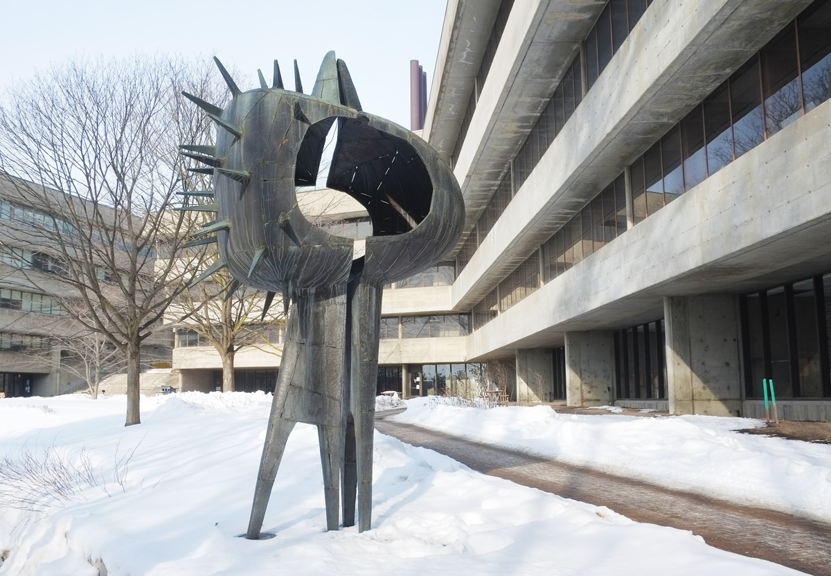
below: “Tall Couple” (or “Un Grand Couple”) by Louis Archambault (1915-2003) stands beside one of Andrew’s buildings, the Humanities Wing. This metal sculpture was first on display at Expo ’67 in Montreal.
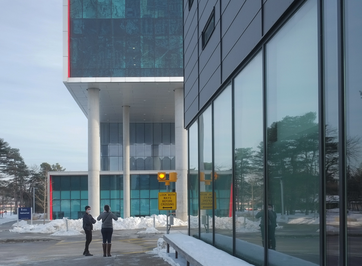
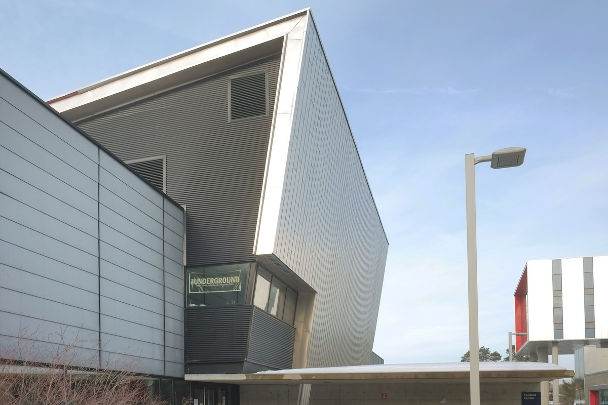
The newest building on the campus is Highland Hall located by the main entrance to the campus on Military Trail. It features large pillars, red accents, and a glass facade.
below: The west side, main entrance side, above the pillars is a large glass feature that shows a satellite image of Scarborough.
below: East side of Highland Hall. The upper level on this side features an aerial image of Scarborough in the mid 1960s when the college first opened.


below: From CONTACT Photography 2021 (on view until March 2022), is “I’m Listening” by Ebti Nabag.
below: From the Solar Walk around the campus, information about Mars.

below: … and also Neptune. The Solar Walk was supported by the Canada 150 Fund that celebrated Canada’s 150th anniversary of Confederation. The position of the planets on the walk represent to position that they were in on 1 July 1867.

below: The Highland Creek still runs through the campus. There is a new walkway that winds its way down the side of the ravine from the main part of campus to the tennis courts, athletic fields, creek trails, and park. Here the new path curves in front of the Science Wing.

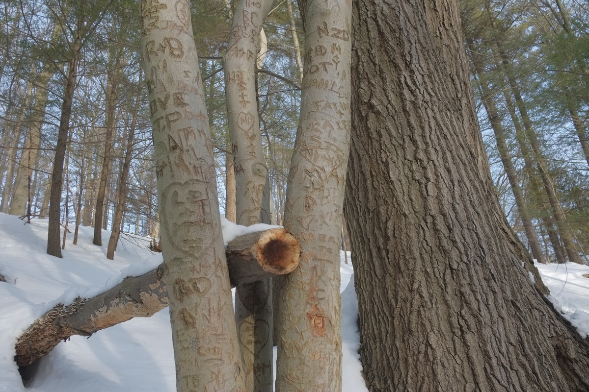
below: Signs of human activity beside the trail.
below: Construction crew working on the banks of the Highland Creek.


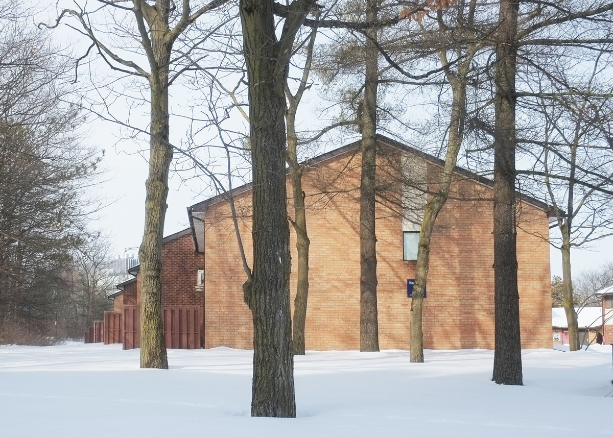
below: Koa Hall, side view
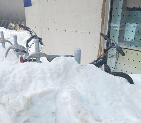
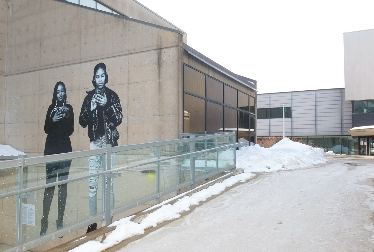
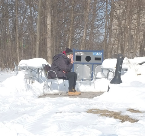
below: The modern equivalent of the smoking lounge?
Find your uncharted territory and explore!
below: Unchartered


Looked like an amazing tour, Mary! That image of the 1969s aerial looked neat 😀
I love that they’re preserving and caring for the creek