


Back in the early spring of 2019, I wrote about accessing the East Don path from Moccasin Trail.
below: Last week, the view from the east side of the tunnel under the DVP leading to Moccasin Trail Park.

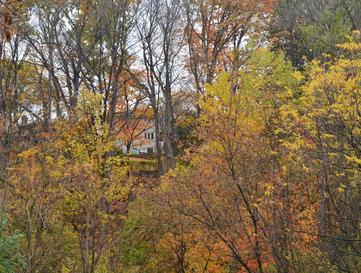
Now, in a different year and a different season, I have explored more of that trail starting at the north end, near Lawrence Avenue and the Don Valley Parkway (DVP). Originally, Lawrence Avenue curved south down the east side of the ravine before it crossed the Don River. The remains of part of that road provide access to the East Don path at Charles Sauriol Conservation Area. Sauriol (1904-1995) was a Canadian naturalist who played a leading role in conserving many natural areas in the province including the Don Valley.
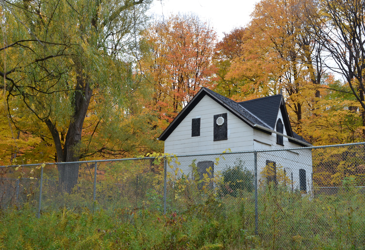
Here, the Alexander Milne family first settled in 1832. Over time, a woolen mill and a sawmill were built, other families moved in, and the village of Milneford Mills was born; it thrived until the early 1900’s. The old woolen mill remained derelict until it was demolished in 1946. Between Hurricane Hazel floods in 1954, and the expropriation of land to make way for the DVP construction, most traces of the village have disappeared.
below: All that remains is one house. It’s been behind chainlink and “under renovation” for MANY years. When I went searching for any kind of story about this house, I discovered a blog post from 2011 about Charles Sauriol Park and the house was fenced in then. Apparently it was covered in graffiti back in 2008/9. I’m not sure that Mr. Sauriol would be impressed.
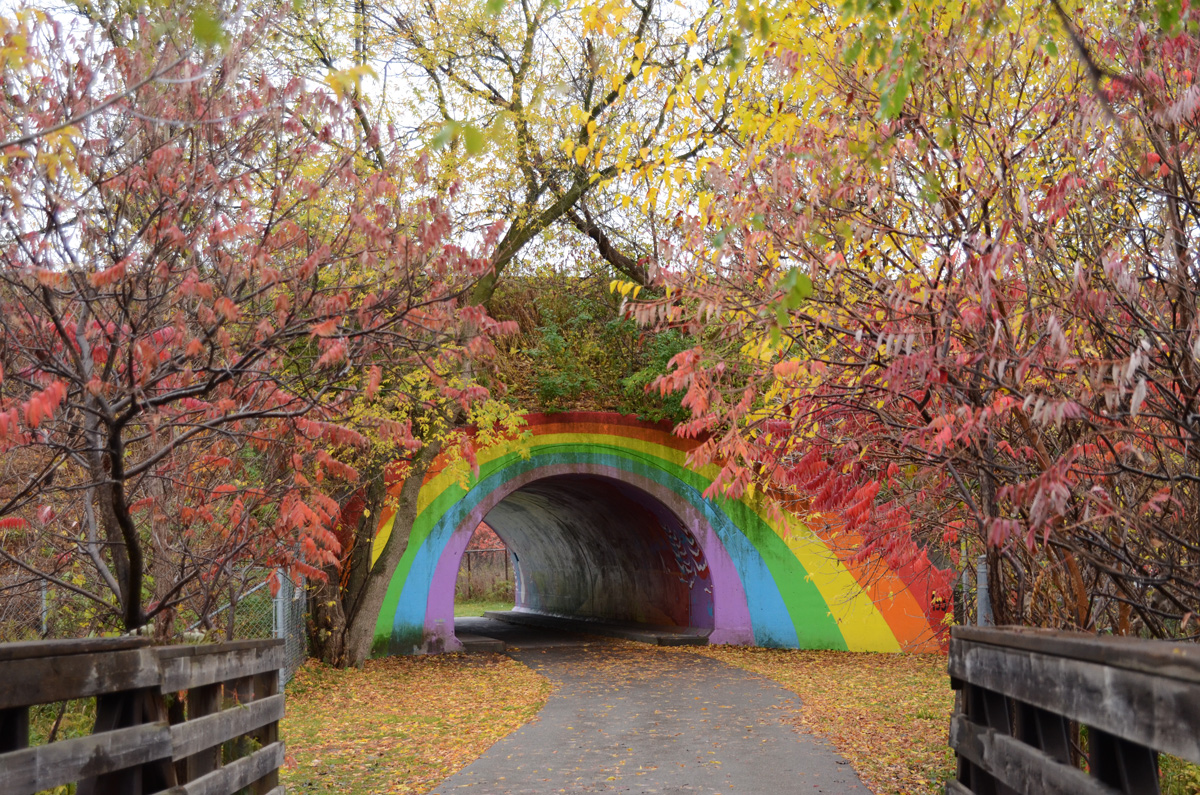
below: The Rainbow Bridge from the north side.
below: The trail passes underneath the Canadian Pacific (CP) tracks.
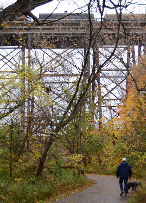
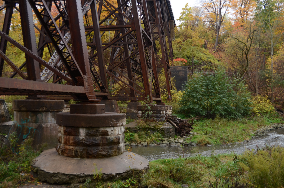
below: Footings for the CP bridge
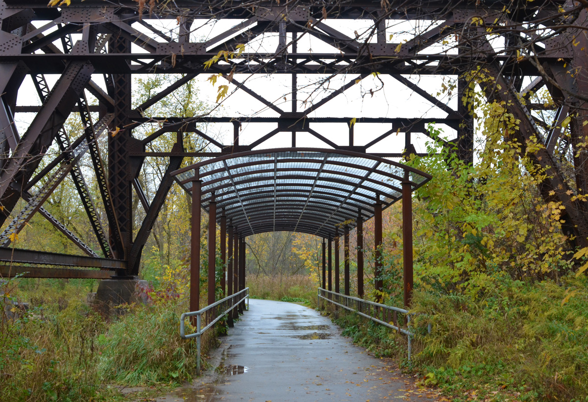
below: As the trail crosses land owned by CP Rail, it is covered by a metal frame canopy. It’s difficult to see in this photo but there is a series of small laser-cut metal artworks between the grey railings. The whole structure is “A Walk in the Woods” and it is the creation of both Robert Sprachman and Arnaud Boutle.


below: Farther down the trail is another railway bridge. This is the same line that goes north to Oriole GO station and beyond. The scaffolding under the bridge is for the construction of another canopy similar to one under the CP bridge (above) as well as an art installation.

below: Part of art installation “High Water Mark” by Robert Sprachman that is almost complete. There are 15 rocks each with a year on them. The height of the rock on a metal pole represents the height of the flood water on the Don River that year (but is not an exact height). There are four rocks in this picture and from left to right are 1926, 1934, 1942, and obscured (the last is behind the wood. Ooops).

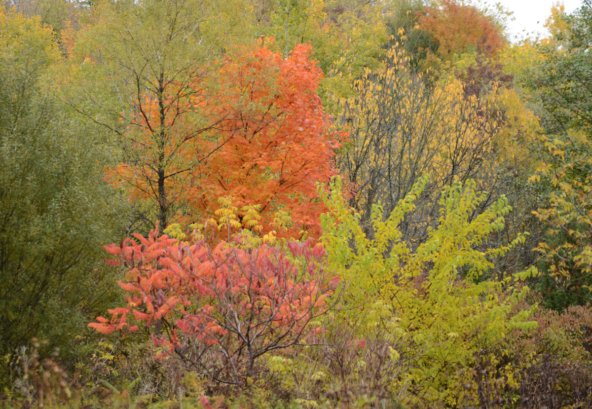
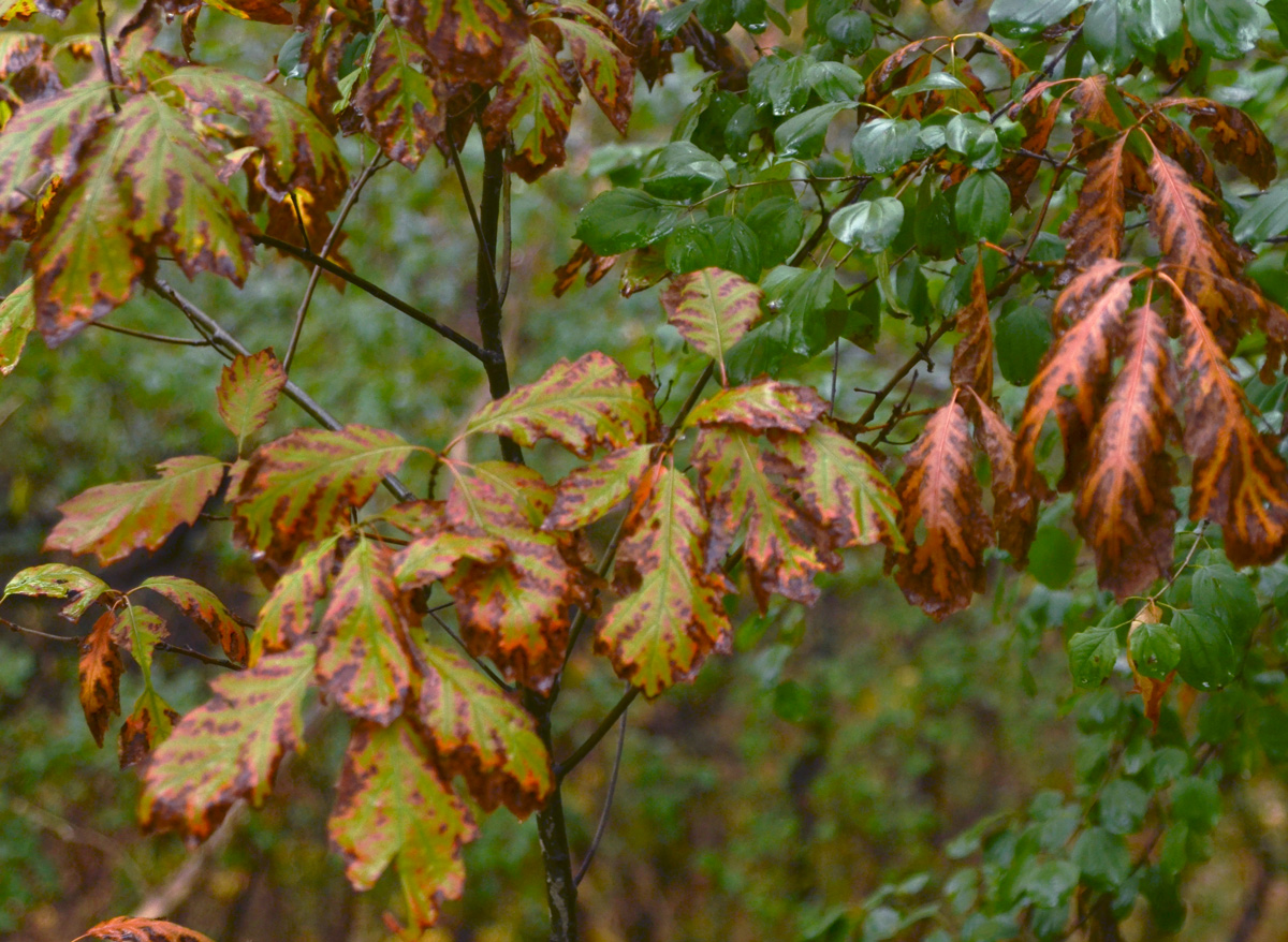
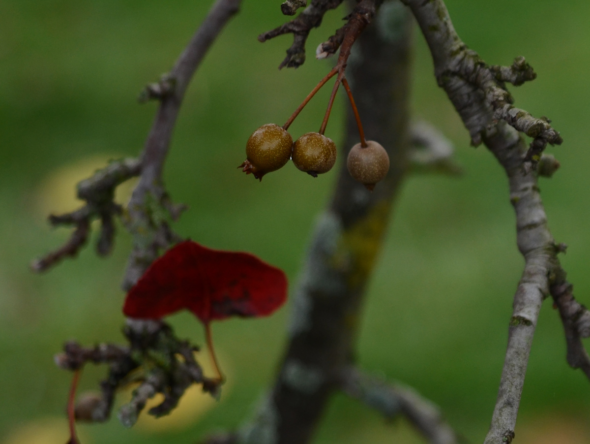
below: Oak leaves
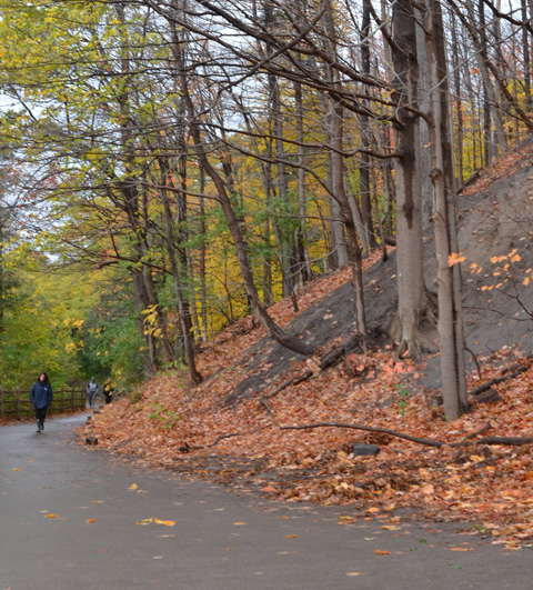
below: Backs of houses overlooking the park
below: A chickadee holding onto a dead flower as it eats the seeds.


below: Fish. Yes there are fish in the Don River, about 21 species apparently. This one, salmon?, although large is unfortunately also dead. Over the past 30 years the Don River has received a lot of TLC which has helped to reduce the level of industrial pollution as well as the amount of litter and trash found along the banks.

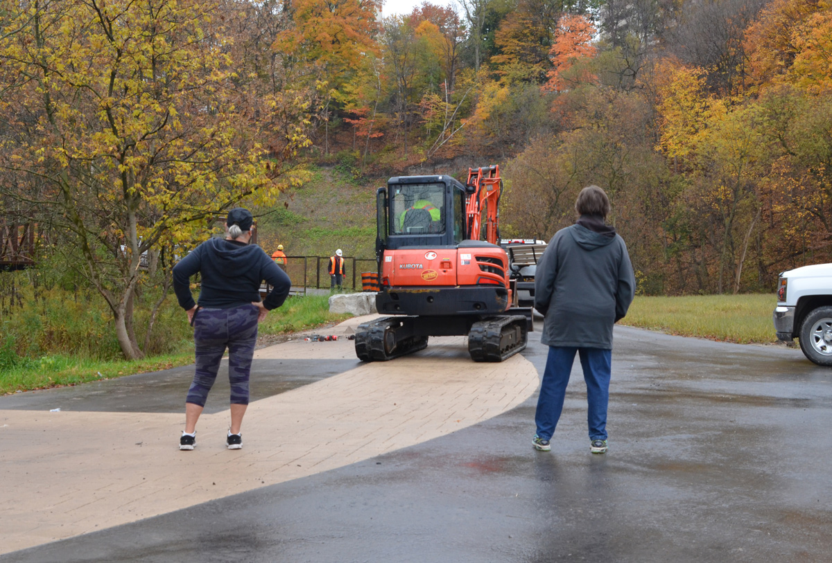
below: We were told “It’s not the best time” when we asked if we could continue on the trail. South of here the trail is a construction zone. Eventually (soon? I may have visited a little too soon?) the path will join with those farther south so that there will be a continuous trail from Lawrence to the lake. In the meantime, this is Wynford. You can exit here, or retrace your steps back to Lawrence. Next time!

[…] UPDATE: The rest of the trail that can be access from the Mocassin Trail is now covered in a blog post, From Charles Sauriol southward […]
The East Don Trail is now complete and you can cross the river to the other side which ends up at Wigmore Park in Victoria Village.
Thanks for the update!