Subtitle: Take the Long Way Home

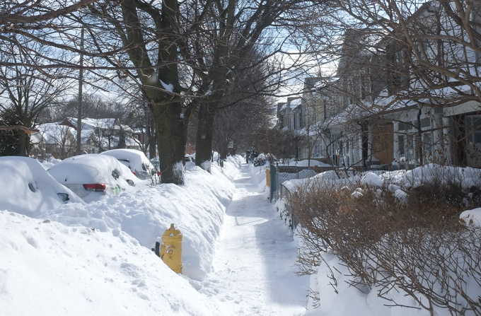
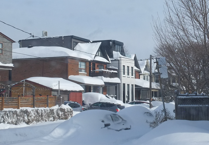
The snow started falling on Sunday morning and it just kept on coming. In the end, there was a record amount of snow that fell in most parts of the city with a reported 46 cm at Pearson Airport and 56cm downtown. Luckily Monday was clearer and the city had a chance to begin to shovel out.
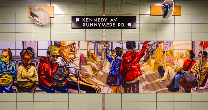
Not surprisingly, there were TTC problems especially on the subway.
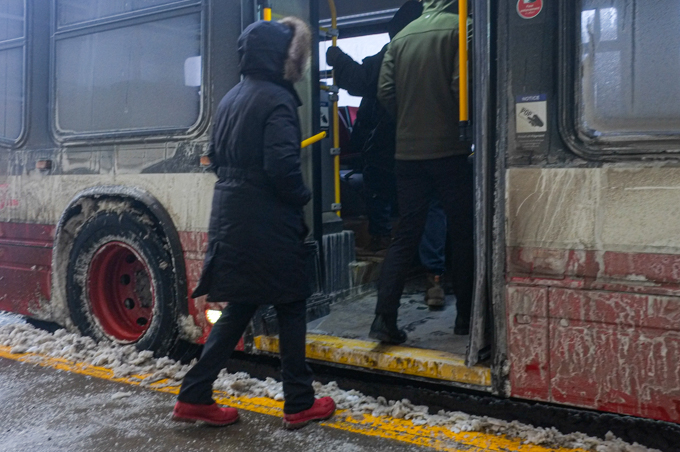
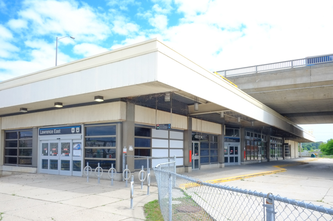
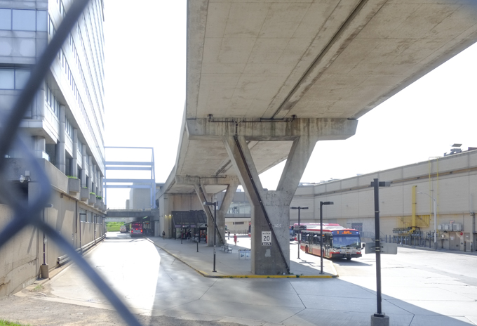
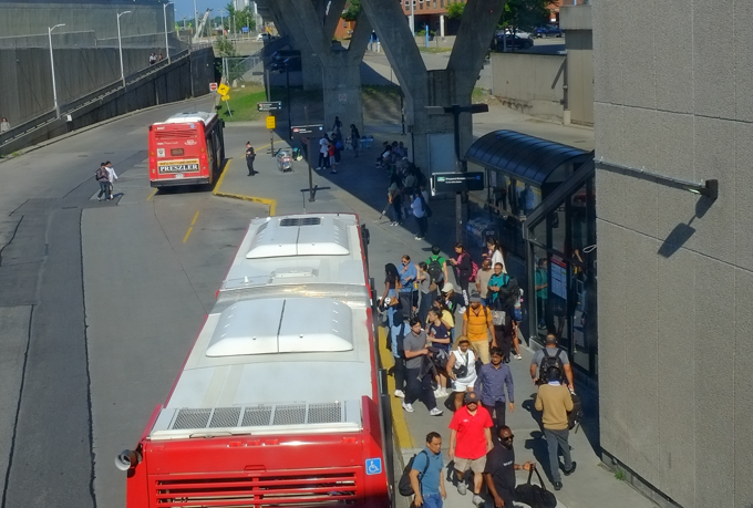
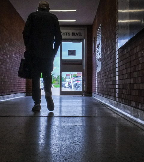
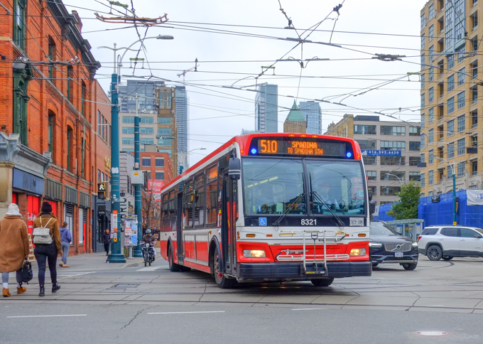
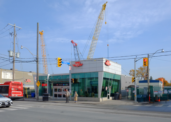
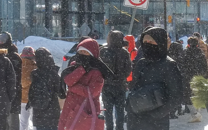
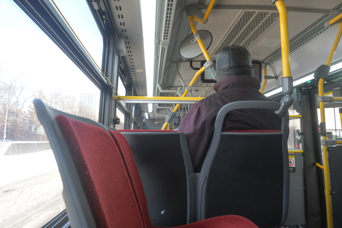
below: Waiting for a shuttle bus because there was no subway between Eglinton and Bloor. Too any people and not enough buses!
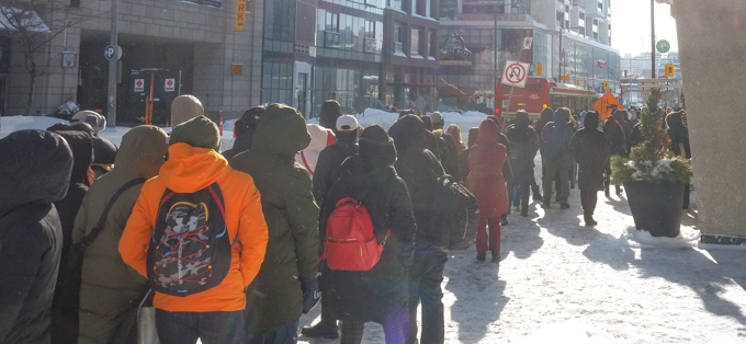
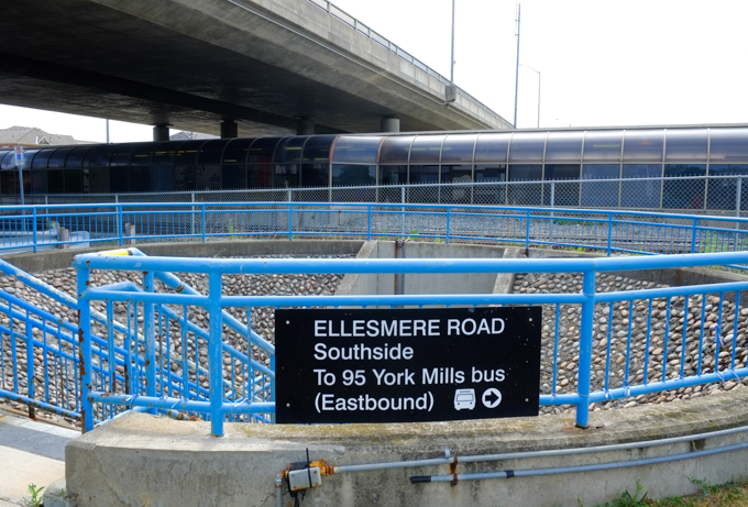
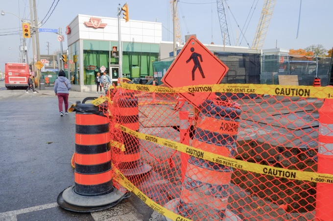
So – Change of plan, back into Eglinton station to wait for a bus – let’s try heading west instead of south!
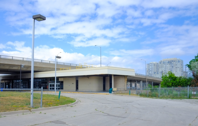
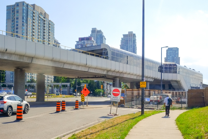
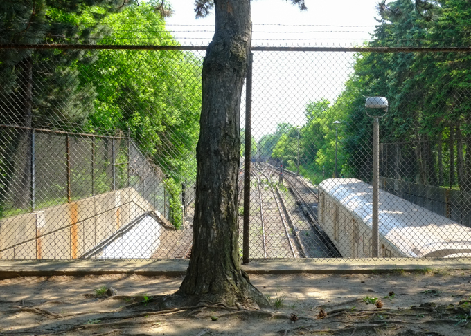
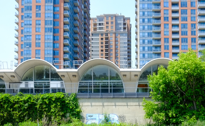
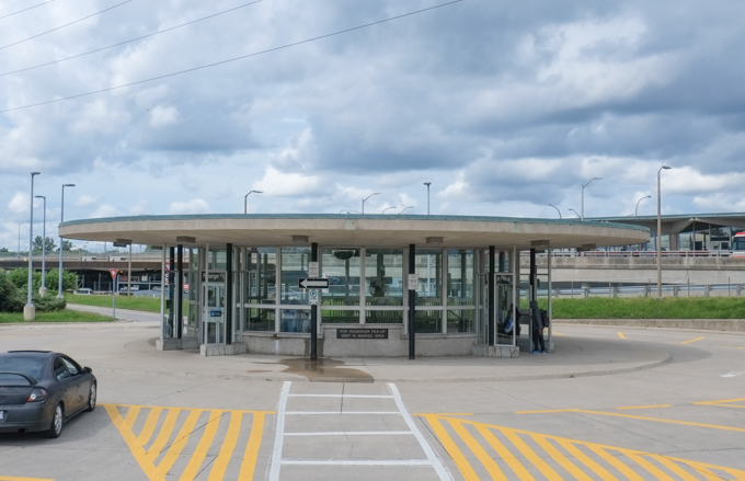
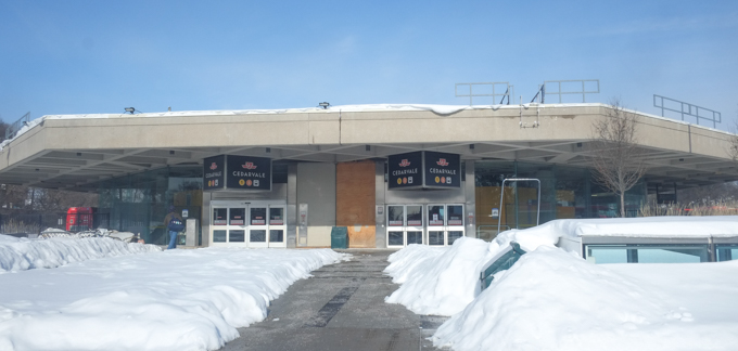
Eglinton West station is now called Cedarvale. There is a new subway entrance – actually it’s probably at least a couple of years old now but it’s never been used. It was built for the new Eglinton Crosstown LRT that MIGHT open in February. Rumour says opening 8th February, counter-rumour says that’s not true….

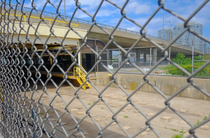
The old round concrete station is still in operation.
Interior shot – boring brown tiles on the wall, very 1970s concrete ceiling, and no people headed down to subway level…..
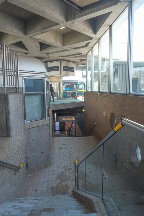
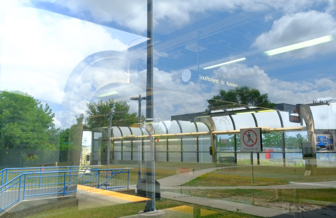
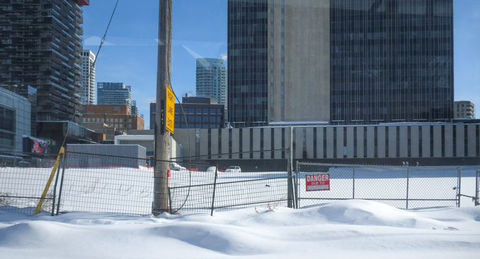
… because there is also no subway here either! This is the view northward up the Allen Road. There are not a lot of cars on the road. The center section, i.e. the train tracks, are still covered with snow.
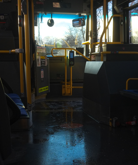
… So back on the bus to go south again! At least I didn’t have a deadline to meet or an appointment to get too. I was just looking for interesting snow pics. Schools were closed and many people were working from home so there weren’t a lot of other people traveling with me. Still, I am sure that there were many people who had a frustrating time getting around the city on Monday.
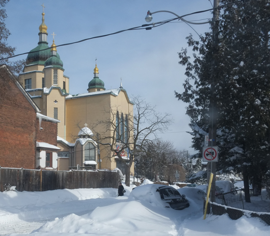
What follows are some of the pictures that I took as I explored a few parts of the city.
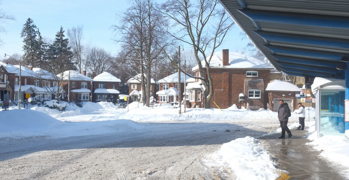
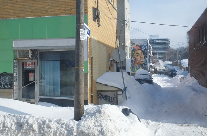
below: Reggae Lane (near Eglinton West and Oakwood)
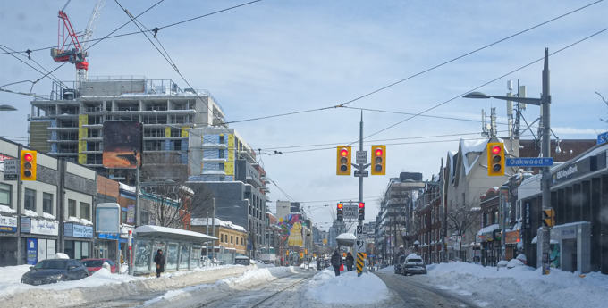
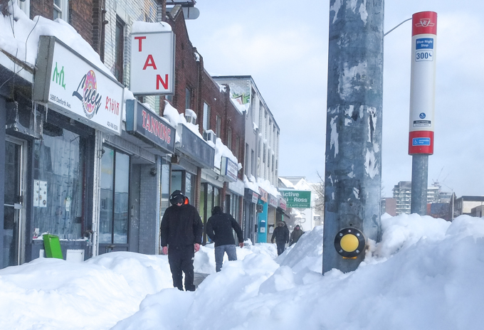
below: Looking east on St. Clair West at Oakwood.
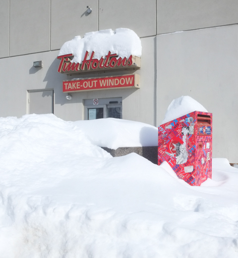
below: Not the best day for the Take-out Window!
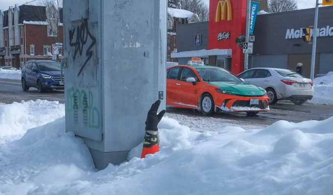
below: Buried?!
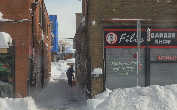
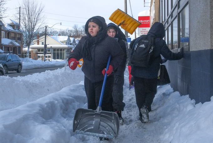
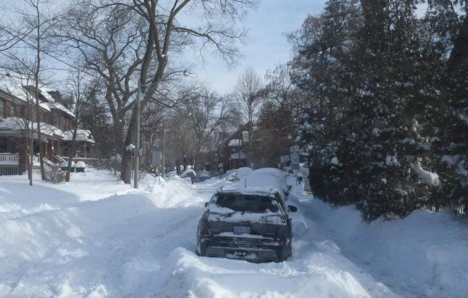
below: Shoveling out – a scene repeated over and over again across the city.
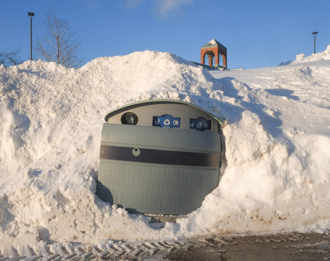
below: Buried trash
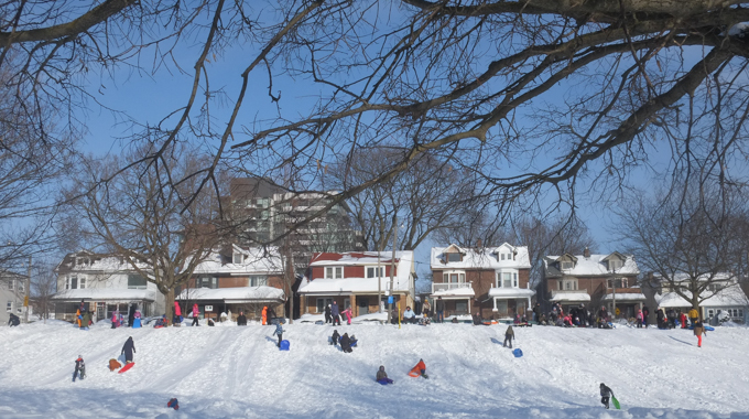
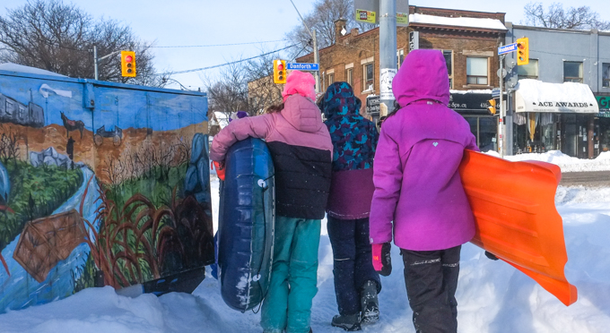
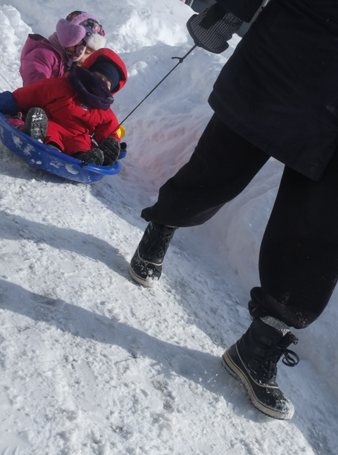
below: No school! East Lynn Park was busy though…
below: And after sledding, what better than a visit to the local coffee shop….
below: Others were out looking for employment opportunities….

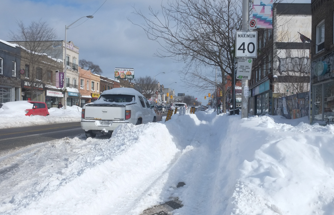
below: Plowed bike lanes!
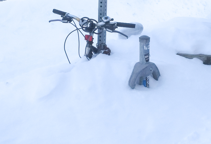
below: But this bike isn’t going anywhere!
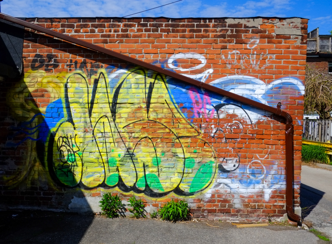
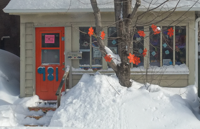
below: More Love (and orange snowflakes) at 981
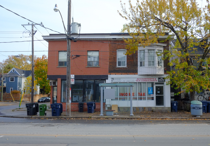
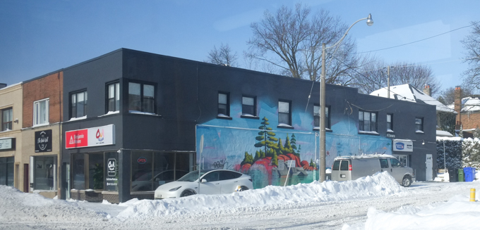
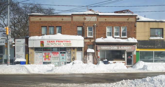
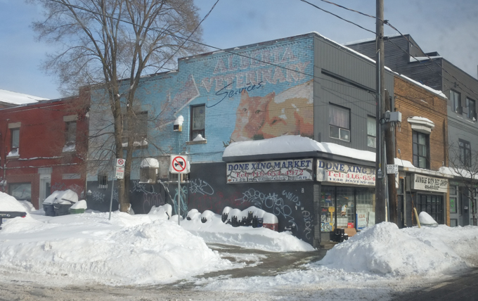
below: Tana Printing and Toronto Coin Laundry, Oakwood Ave
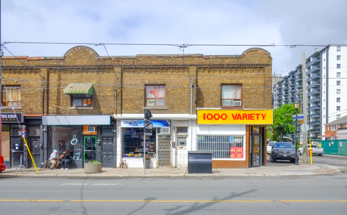
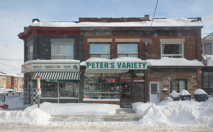
below: Peter’s Variety and the Primrose Bagel Company (with smoked fish and soups too!).
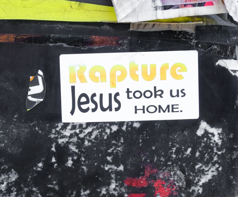
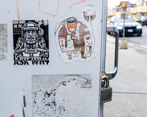
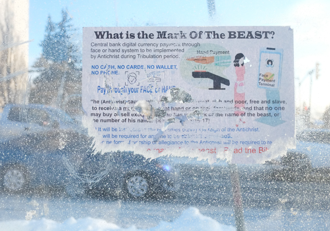
below: When you spend time on buses and in bus shelters you encounter some strange things, like this paper “What is the Mark of the Beast? Central bank digital currency payment through face or hand system to be implemented by Antichrist during Tribulation period.” Do you feel more informed now? A little wiser even?
below: Thank you to all the TTC bus drivers that kept the city moving that day! By afternoon those buses were looking a little dirty to say the least….