Posts Tagged ‘West Don Lands’

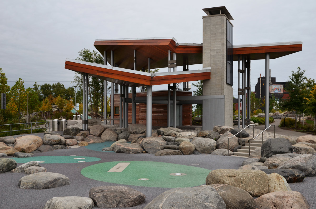
My previous post was about wandering around the Distillery District which by the way is 20 years old now.  Back in 2003 it was surrounded by a part of the city that seemed to have been forgotten.    In 2015 the PanAm games were held in Toronto.  Athletes Village, i.e. housing for the athletes competing in the games was built new in what was now being called the West Don Lands.  After the games, this housing was converted to “746 market-priced condos, 41 market-priced town homes, 250 affordable-rent apartments, 257 student dormitory units for George Brown College, office and retail units, and a YMCA recreation centre.” (Wikipedia)   Development in the area continues on all sides of the Distillery.

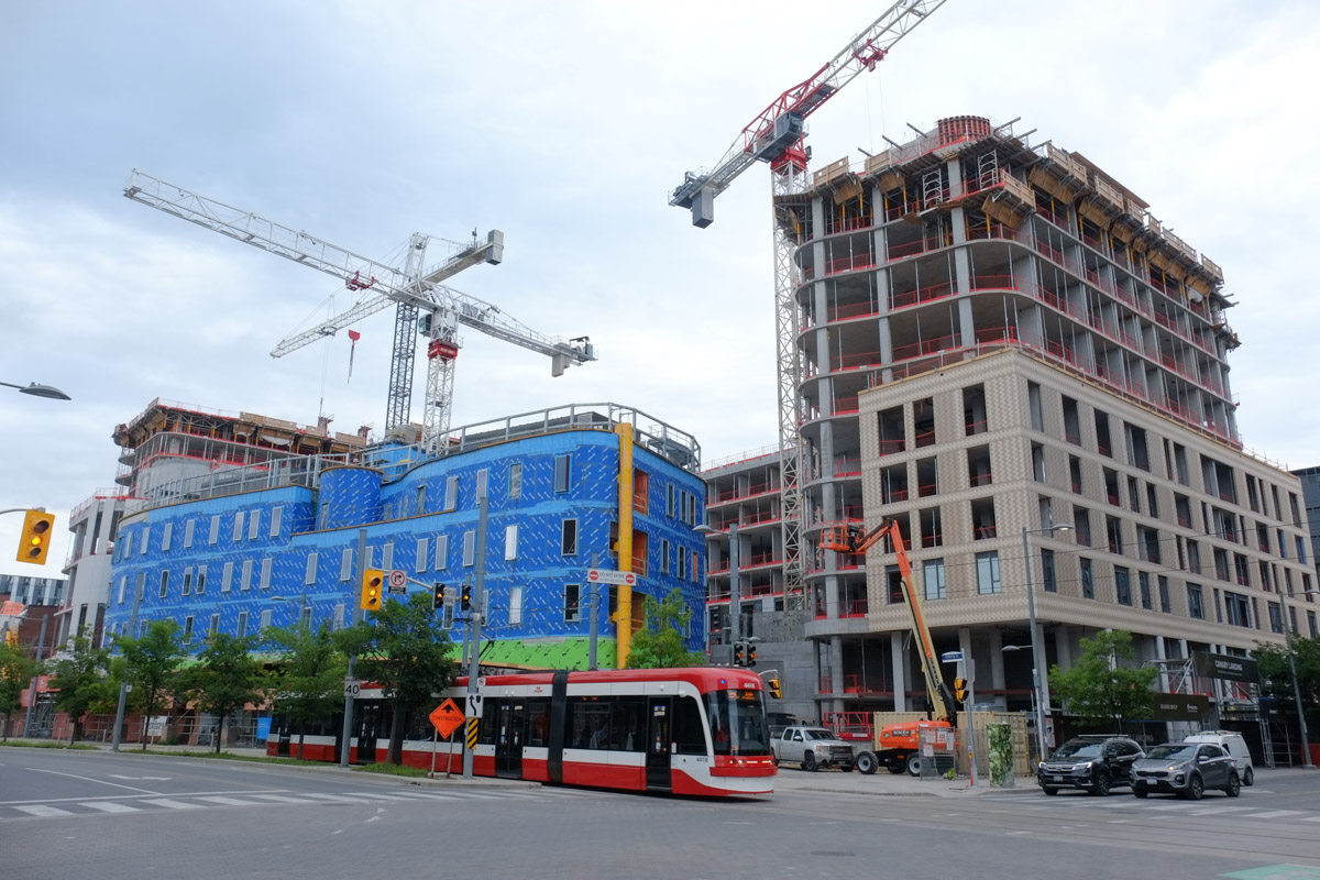
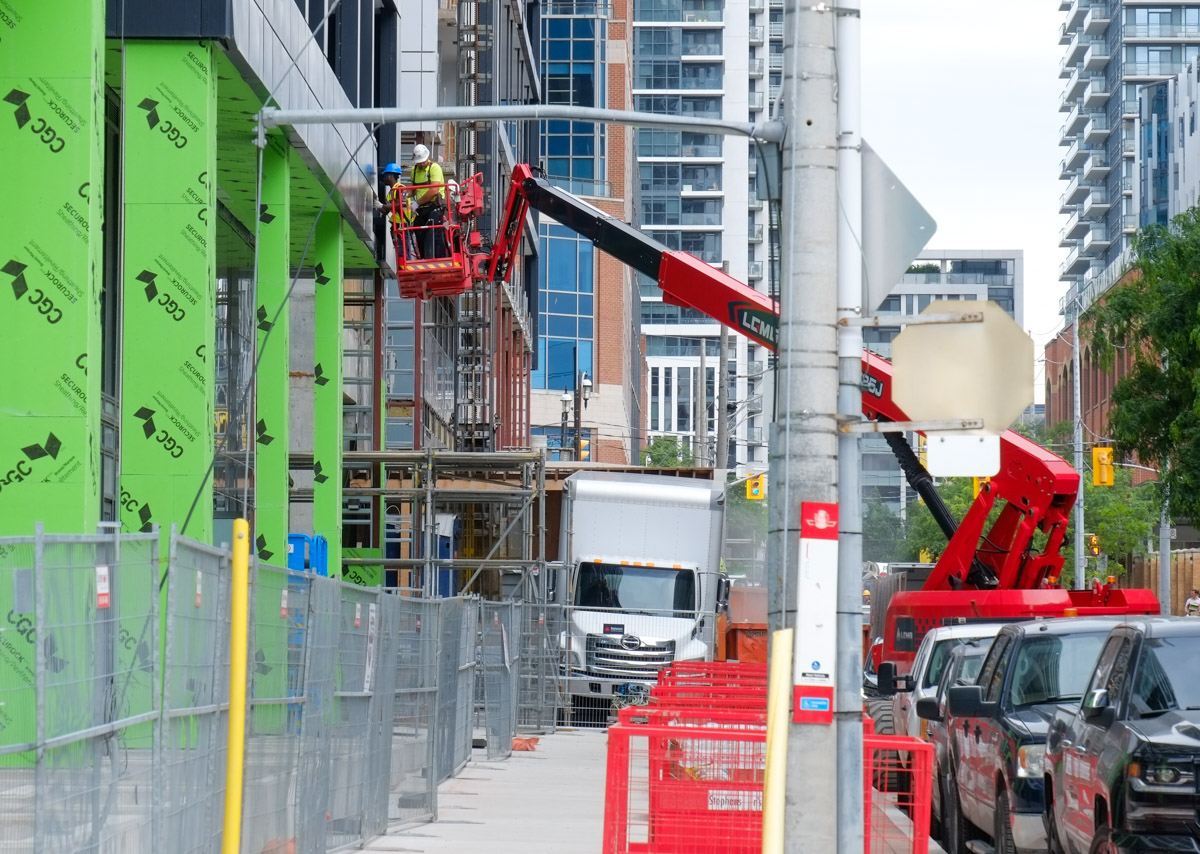
below: Southside view of the new development on Mill Street (east of Cherry).

new condo development on Mill street, corktown,

below: Northeast corner of Mill and Cherry. Part of this complex is a new Anishnawbe health centre.

northeast corner of Cherry and Mill, new development, Anishnawabhe medical center, other buildings,

below: Eastbound on Eastern Avenue at Trinity Street

eastern ave eastbound approaching trinity street, construction signs, building being built, cranes, traffic,

below: Fire hydrant in a field of chicory, vacant lot surrounded by a fence.

yellow fire hydrant in the weeds and wild flowers at vacant lot downtown, highrises in the background

below: Down and out.   Grounded.  Election signs left over from the recent by-election for mayor.

signs on the ground, election signs for mayor by election

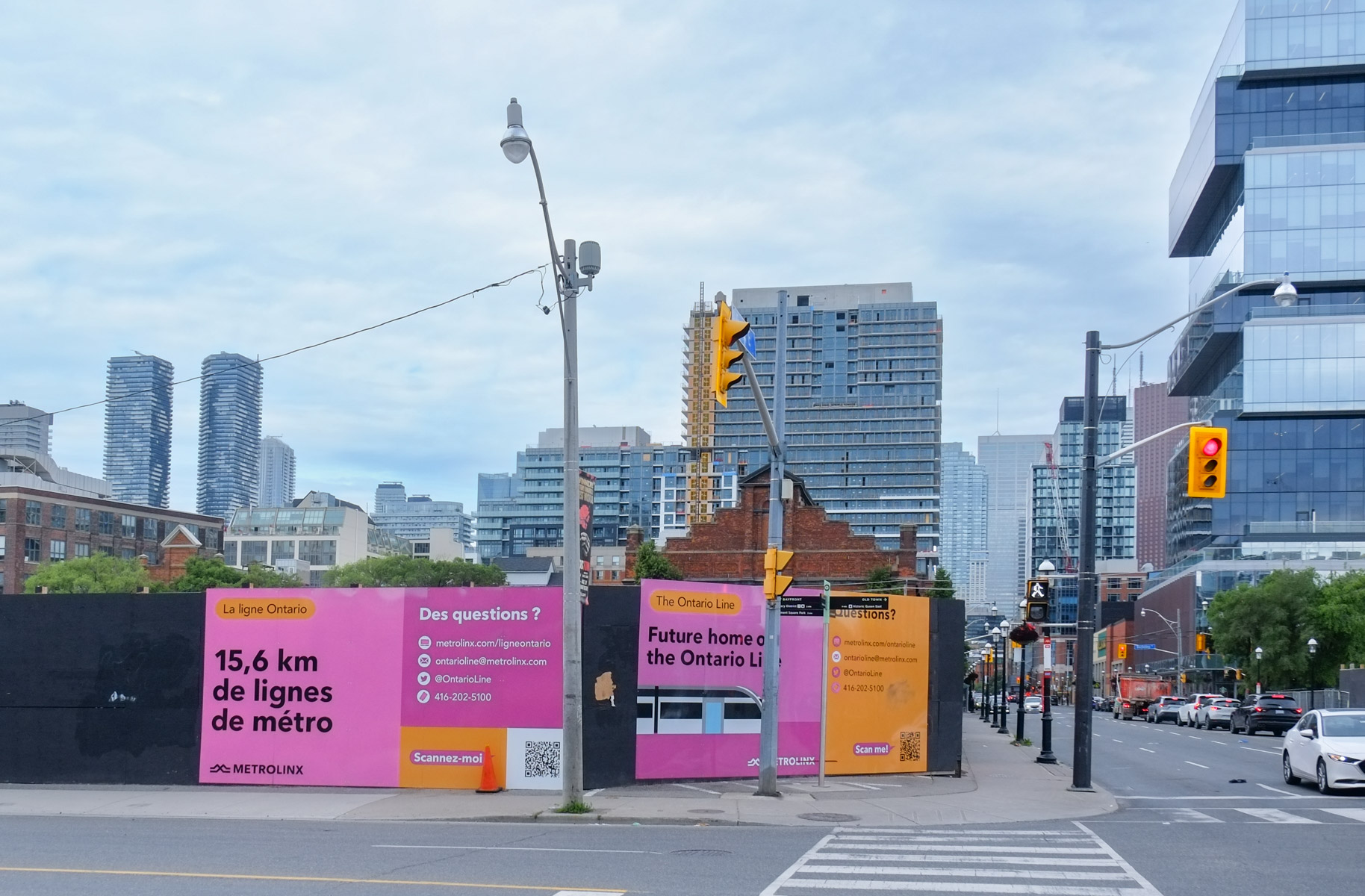
below: A large section of land at Parliament and Front that will become the site of Corktown station on the new Ontario Line is surrounded by hoardings.  From here the line goes northwest to a new Moss Park station at Queen & Sherbourne –  or it goes southeast to the existing railway tracks by the Lakeshore where it surfaces before a new station, East Harbour, at the foot of Broadview ( south of Eastern).

pink signs on hoardings around construction site for Ontario Line

men on a red lift, construction site

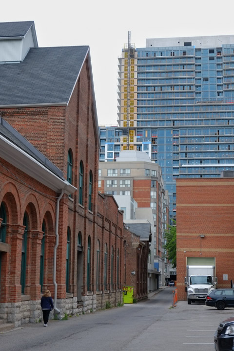
below: Nicholson Lane

looking down Nicholson Lane,

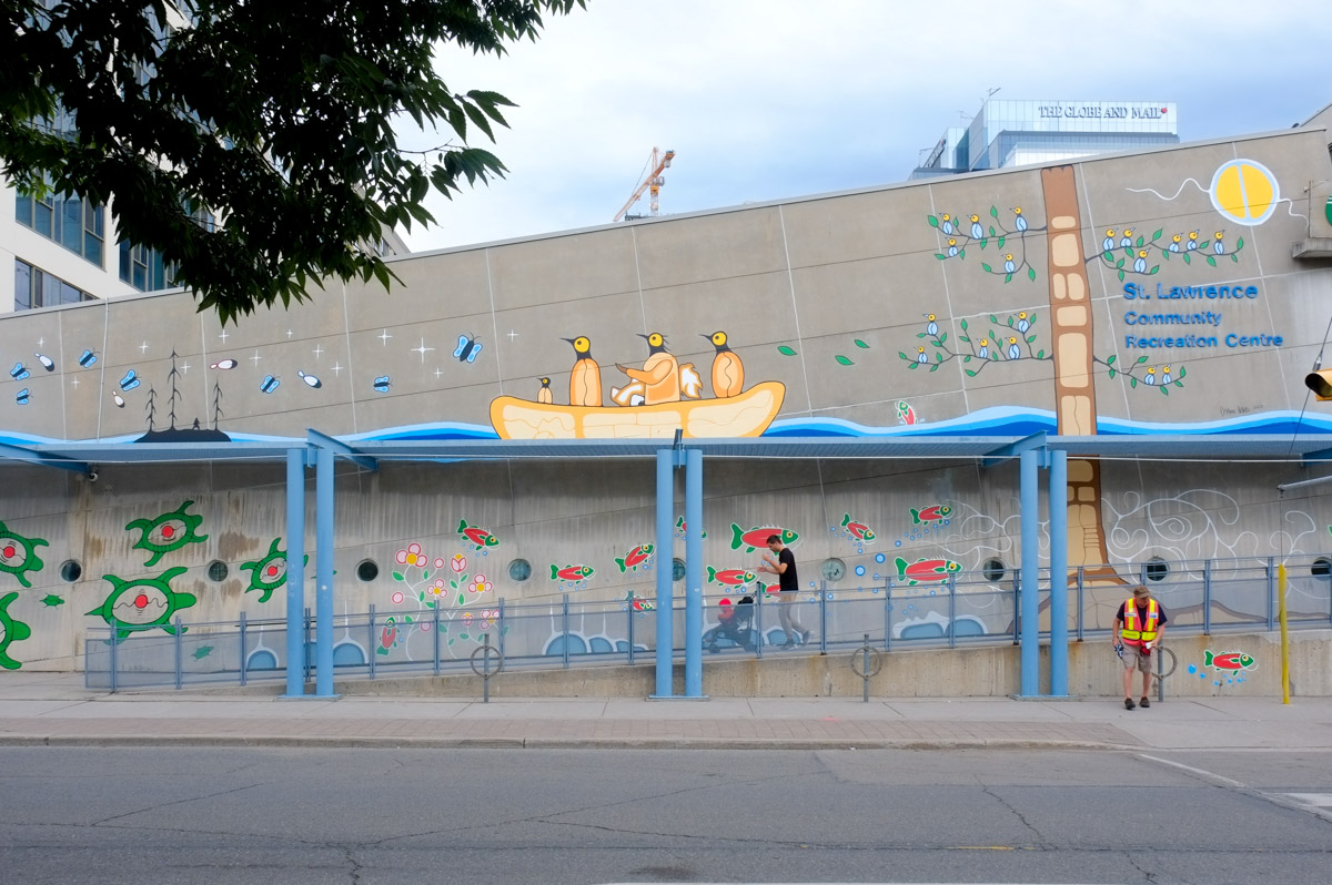
below: There is a new mural on the St. Lawrence Community Recreation Centre painted by Darwin Peters from Pikangikum First Nation..

exterior of St. Lawrence Community Centre, painted with new mural, first nations theme

below: On the Esplanade

man on sidewalk, walking past park,

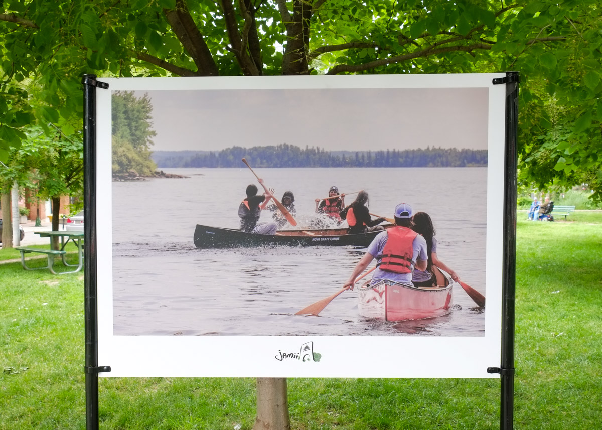
below: Photography exhibit along the Esplanade, “Mashkiki” by Morningstar Quill about life in Pikangikum First Nation.   This photo shows a group of young women making ribbon skirts.

black and white painting of a group of young women sewing, sewing machine, table, in a park, part of Mashkiki project

below:  The exhibit was produced with the support of Jamii, a non-profit arts organization.

colour photo of people in two canoes, paddling on a lake, on display in a park,

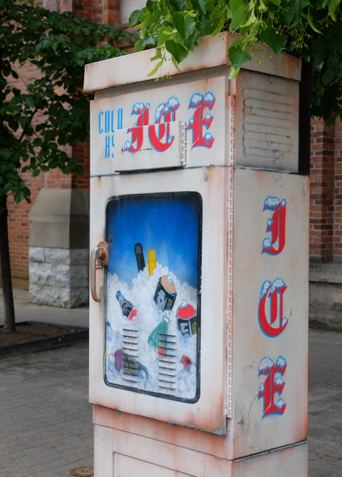
below: For those hot summer days when we’re all looking for a bit of relief!

sidewalk metal box that has been painted to look like a box that dispenses or sells ice

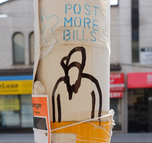
below: Post more Bills

graffiti on a TTC bus stop pole, that says post more bills, with a rough drawing of a person

a young woman walks her dog

below: Working on the new north market building, St. Lawrence Market.

workmen on the roof of the new North tower of St. Lawrence market

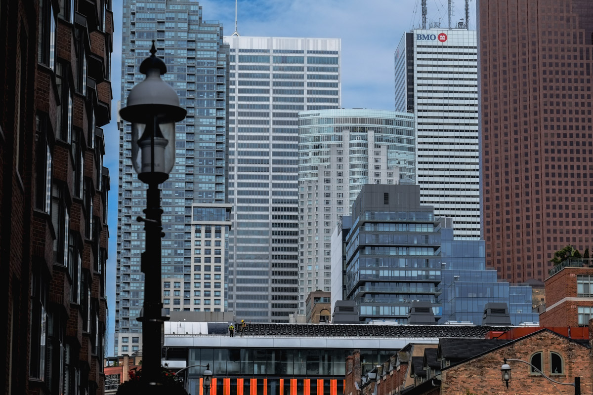
below: Looking westward from Front and George streets.

view of Toronto skyline from Front and Jarvis

people at intersection of Front and Jarvis, waiting for light,

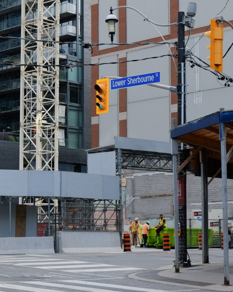
below: Lower Sherbourne

northeast corner of lower sherbourne and front streets, construction site

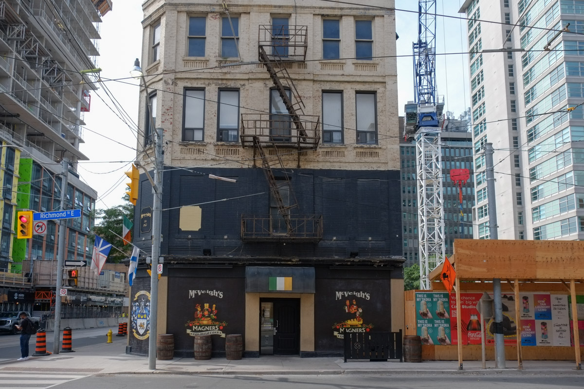
below: McVeighs Irish pub in an old building that is now surrounded by new developments, Richmond and Church.

mcveighs irish pub in an old building at Richmond and church, now surrounded by new development

two workmen sit beside mcveighs pub, on the small patio,

below: The steeple of St James Cathedral peaks through the gap.

The green weathered copper roof of St. James Cathedral steeple can be seen in the gap between two newer low rise buildings, one of which has a platform of window cleaners on it

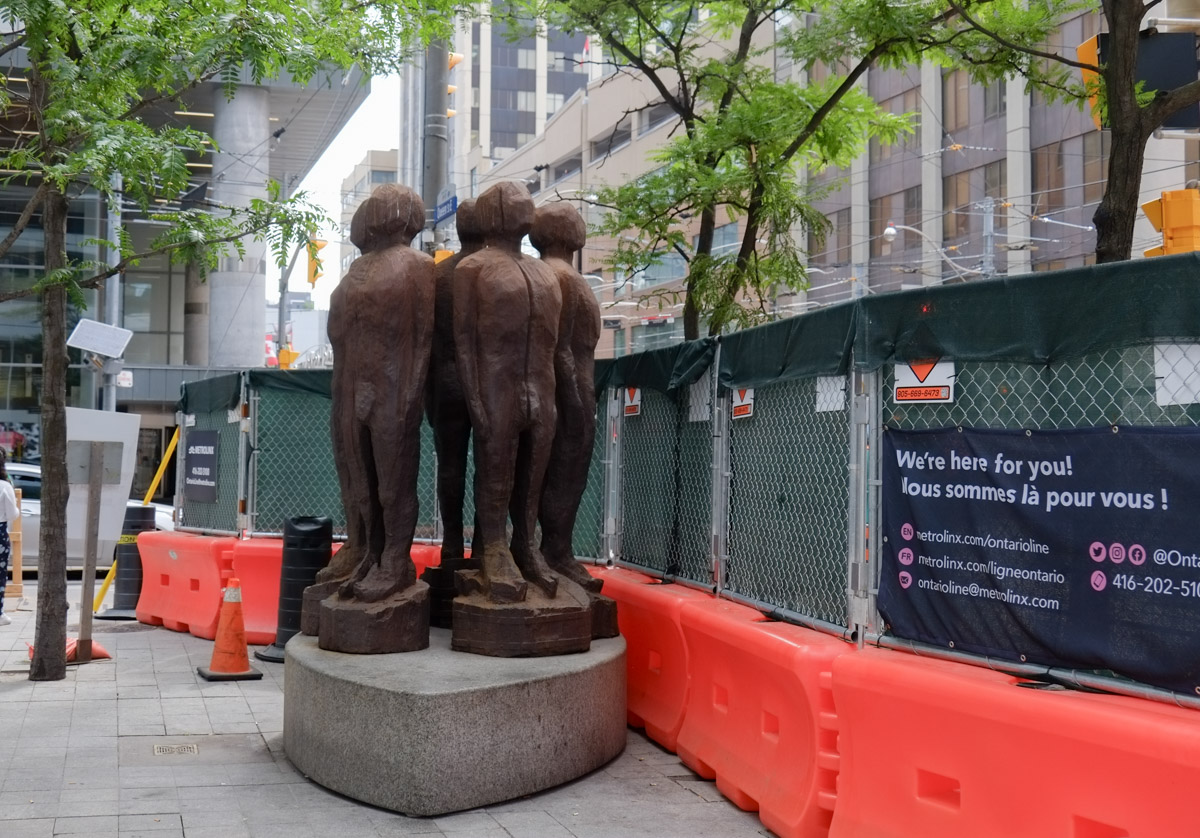
below: This is “Afrophilia”, an installation at the Toronto Sculpture Garden by Frantz Brent-Harris, a Jamaican artist now based in Toronto.

In the sculpture garden on King St., a line of red heads on poles, title of installation is Afrophilia.

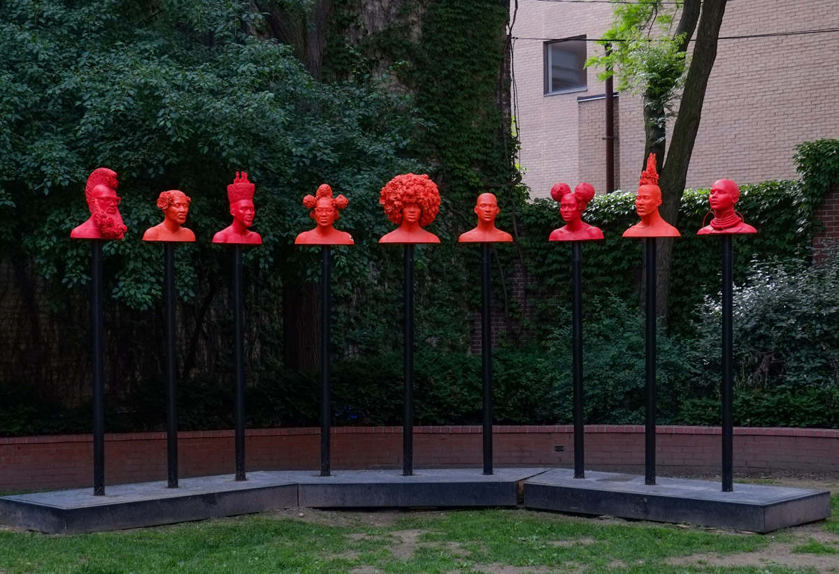
below: A closer look at two of the heads.

two of the red heads in Afrophilia, a sculpture installation in outdoor space

below: Crossing King Street.

on King Street, decorated curbs at streetcar stops, pedestrians crossing King St., a TTC streetcar

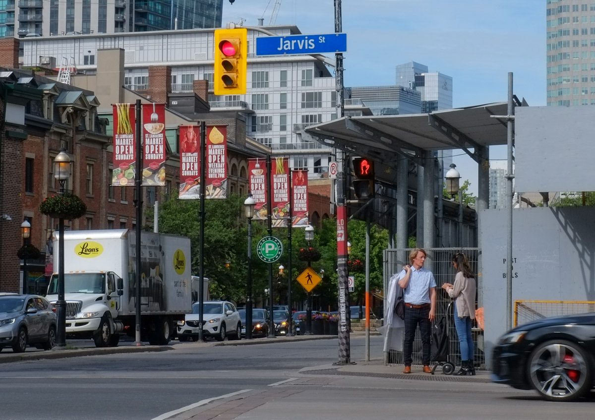
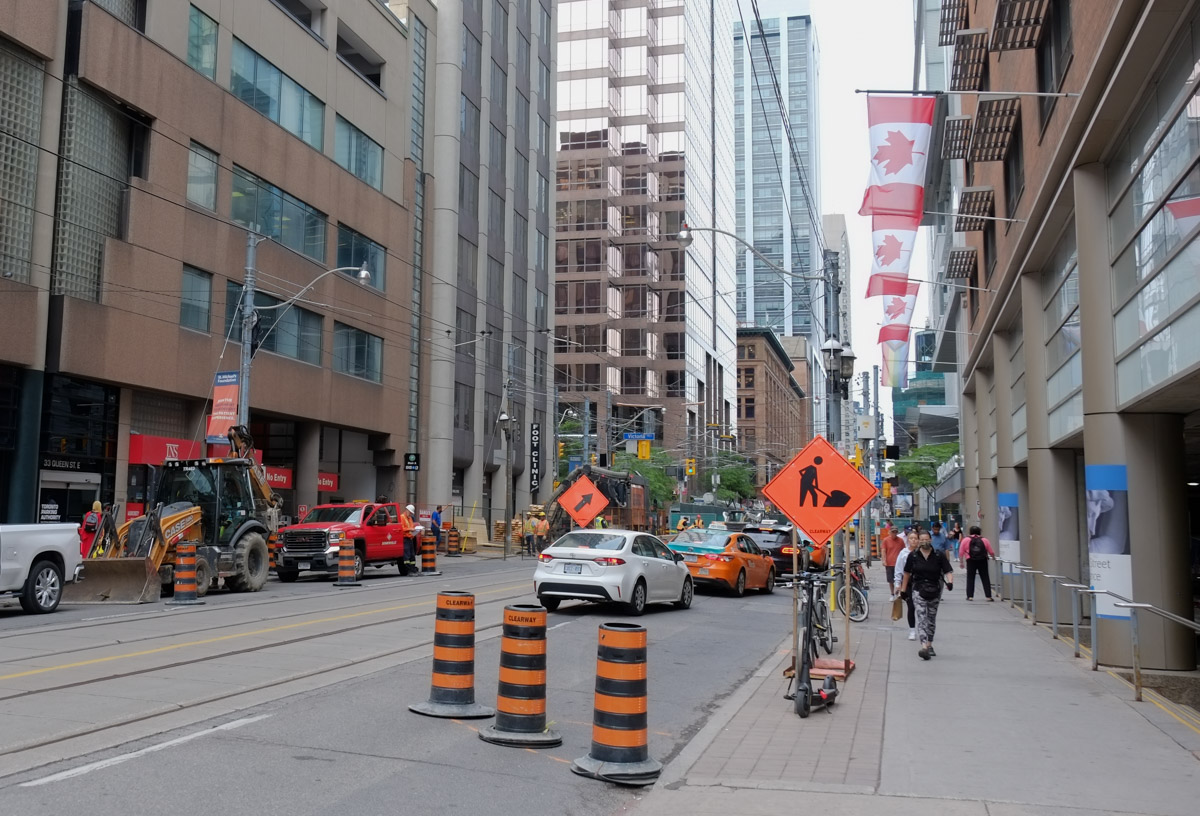
below: Queen Street East

street scene, Queen St. East downtown Toronto, construction, Canadian flags ,pedestrians, tall buildings,

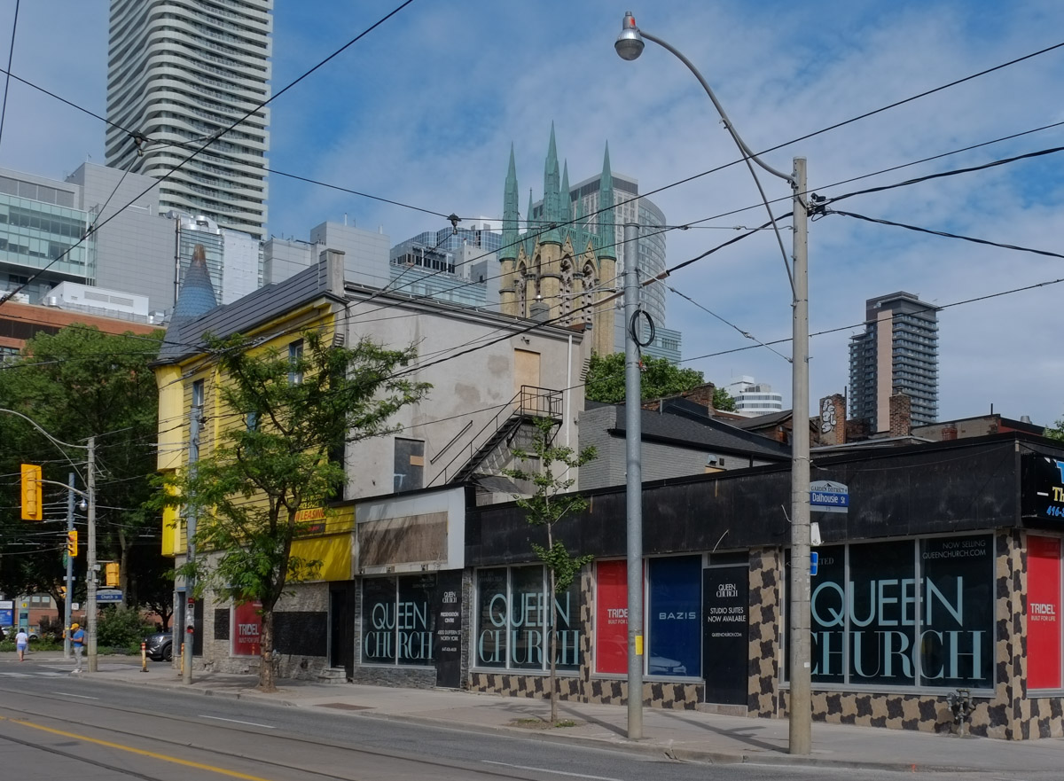
below: The present state of the northeast corner of Queen and Church (60 Queen St. East).  Before becoming a placeholder for yet another condo development, it was a Shawarma’s King restaurant. That old yellow building may be living out its final days – since 2018 a very tall (54 to 57 storeys) building has been proposed for this site.   The original proposal had the usual blah glass and steel at street level as shown on the condo website (queenchurch.com) but in November 2020 the existing building (and a couple of nearby buildings on Church St) was added to Toronto’s Heritage Register.

large yellow building with a turret at the corner of Queen and Sherbourne streets, now with large glass and steel condo buildings behind it.

condo development at Queen and church streets in Toronto


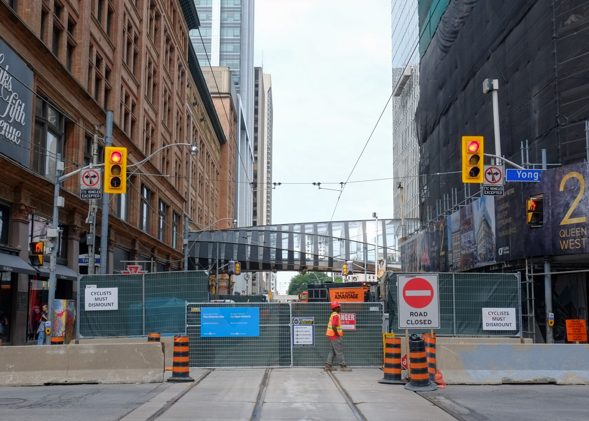
below: Queen Street is now closed at Church Street for work on the new Ontario Line subway.  Rumour says that it will be closed 4 (5?) years.  Yes, years.  The subway will run under Queen Street and connect to the Yonge line at Queen and the University line at Osgoode.

two workmen at blocked Queen Street at church, Ontario Line metrolinx construction

below: Peering over the fence?

sculpture of men in circle with backs together, at Church and Queen, now beside fence and hoardings for Queen street closure

below: Looking west along Queen Street towards Yonge (behind the hoardings).

Queen Street closure, looking towards Yonge street

below: Trying to look west along Queen at Yonge.

Looking west on Queen from Yonge, construction site, Queen street closure, glass tunnel over the street, road closed signs,

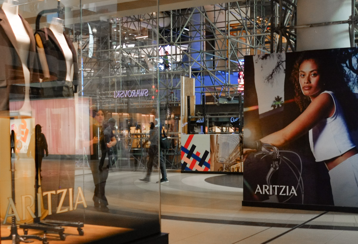
below: The glass roof of the Eaton Centre is also being renovated and updated.  Scaffolding now dominates the upper level of the mall.

scaffolding and large adverts inside the eaton centre

below: More Queen Street closed…  the closure runs as far west as Bay Street and Old City Hall.

old city hall, Queen Street, with construction fence in front, for road work, and subway work

below: Feeding the pigeons at Nathan Phillips square.

woman sitting on grass and feeding pigeons while she smokes a cigarette

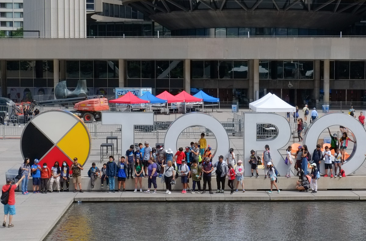
below: Group shot!  A school group visiting City Hall.

large school group getting photo taken by Toronto sign at Nathan Phillips, 3D sign, group shot,

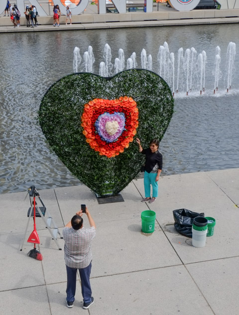
below: Constructing a rainbow heart

man wth green hair delivering flowers to be made into a heart shaped decoration, by water at Nathan Phillips square

below: …. which became an attraction before it was finished

a man taking a picture of his wife standing beside a partially finished heart made of rainbow coloured flowers, nathan phillips square,

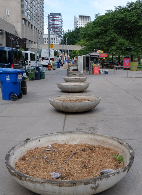
below: Empty planters.  Ugliness on Queen Street, right in front of Nathan Phillips Square and City Hall.  Neglectful.  Toronto can build it but Toronto can’t maintain it.

large, low, concrete planters along Queen street, with dirt in them but no flowers or plants,

below: Mayor Gao for mayor!  I don’t think that this was a serious candidate?!  But then again, there were 101 people on the ballot in that by-election so maybe he was…..

hand written sign posted in front of city hall

Corktown Common

One of Toronto’s newest parks

In one corner of the park there is a plaque that commemorates the William Davies Company, once the owners of the land and buildings in this part of the city.

blog_plaque

“From 1874 to 1927, this site was home to the William Davies Company, reputed to be the largest pork packing plant in the British Empire. Established in 1857 by William Davies (1831-1921), the company made its fortune preparing and exporting cured sides of pork to England. Later, its products were sold through William Davies Company shops, one of Canada’s first store chains. In its buildings here, the innovative company controlled the entire process from slaughter to shipment. Processing nearly 500,000 hogs annually by 1900, the company contributed to the city’s nickname “Hogtown”.
In 1892, Joseph Flavelle (1858-1939) became a partner and managing director of the company. Under Flavelle, the business flourished until the 1920’s when it was hurt by falling markets. The William Davies Company merged with three other packing firms to create Canada Packers, which continued to operate from this site until 1932. The last of the company’s buildings here were demolished in the 1990’s.”

.

An old coloured map of the area now called the West Don Lands.   This illustration also appeared in a blogTO post about the William Davies Company. http://www.blogto.com/city/2013/10/how_toronto_got_the_nickname_hogtown/

An old illustrated map of the area now called the West Don Lands. The red letters are as follows:
A – Gooderham & Worts, now the Distillery District
B – William Davies Company, now Corktown Common
C – CNR tracks
D – the Don River
A version of this illustration also appeared in a blogTO post about the William Davies Company.

.

The last remains of the pork processing business disappeared long ago. After remaining vacant for a number of years, the site was developed into a park as part of the West Don Lands rebuilding.


small trees and other greenery , with a path and bench in the middle, in the foreground and the Toronto skyline is in the background.

The park is starting to look a lot greener as the plants and trees grow. This photo was taken from on top of one of the man made hills in the park. August 2014

.

A black, grey, white and orange butterfly on a pink flower

There are now lots of butterflies….

.

A bee and a butterfly on a tall upright light purple flower.

… and bees

.

a metal and wood structure

A pavilion made of steel and wood sits atop a small hill in the middle of the play area. The pavilion was designed by by Maryann Thompson Architects of Boston The blue and green ovals are where there are fountains for warm weather water play.

.

a woman is sitting on a bench, looking at her phone.  Behind her there are a number of buildings under construction

Looking west, and slightly north, from the pavilion towards the downtown area.  West Don Lands redevelopment in the immediate background.  Autumn 2013 (the building under construction is now almost complete – see above)

.

Part of a large red metal sculpture is in the foreground, looking past it you can see the pavillaion on top of a small hill that is part of Corktown Common park

Looking northeast through the wood and red metal sculpture,  ‘No Shoes’, by Mark di Suvero.  May 2014

.

Newly planted trees surroounded by grass.

The trees are starting to grow. They don’t look like much at the moment but give them time!

.

raspberries, not quite ripe, on a raspberry canes

There is even a large raspberry bush but by the looks of it, only the birds and insects have found it!

.

A map, screenshot from google maps, of West Don Lands and vicinity.

A map of the area today. The red X marks the spot of the new park.

When the park opened in 2013, urbantoronto.ca had an article about it.  You can read  about it  here

Some wonderful aerial views of the area can be seen in another wordpress blog

******