Posts Tagged ‘electricity’

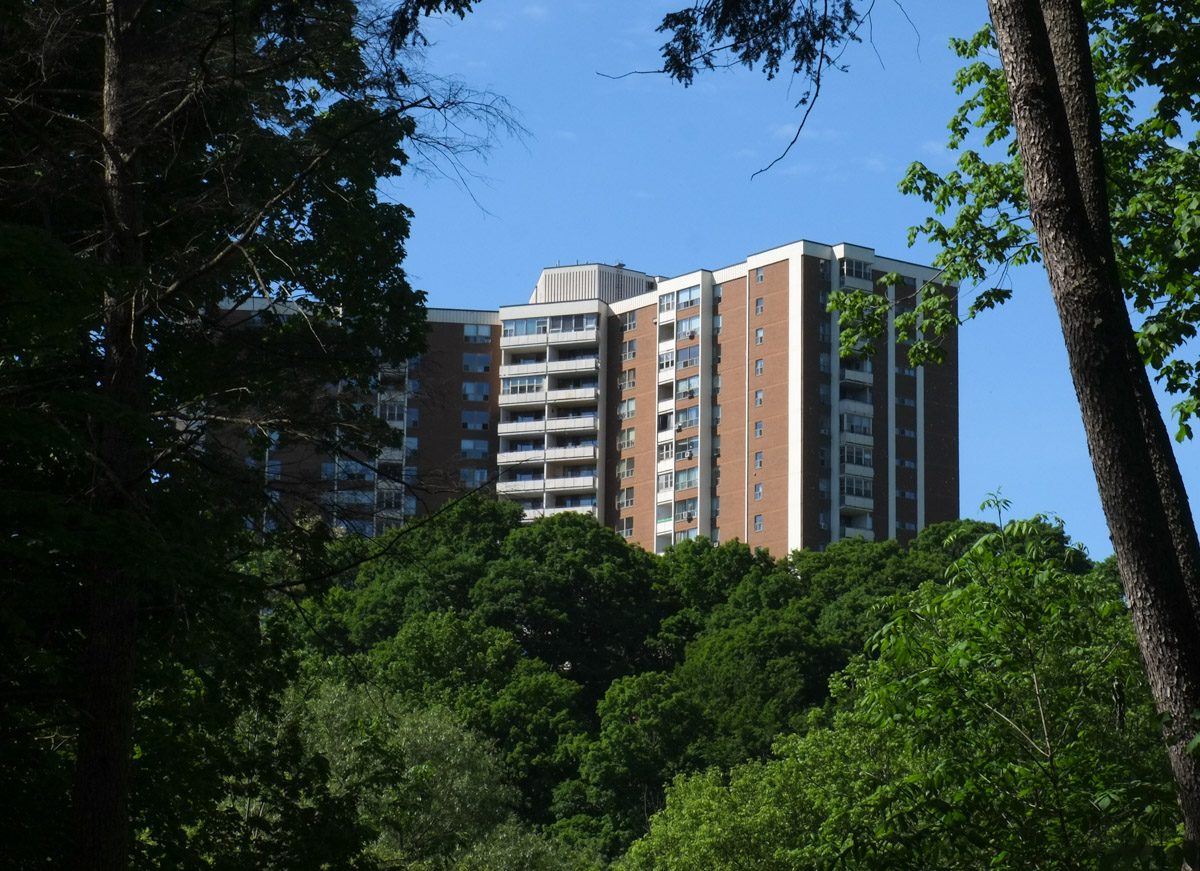
Another gorgeous May morning, another coffee shop.  This time it was Circles and Squares Bakery on Bartley Drive where the butter tarts are amazing (well, what isn’t amazing there?).

reflections in a coffee shop window, outside looking in, circles and squares on bermondsey

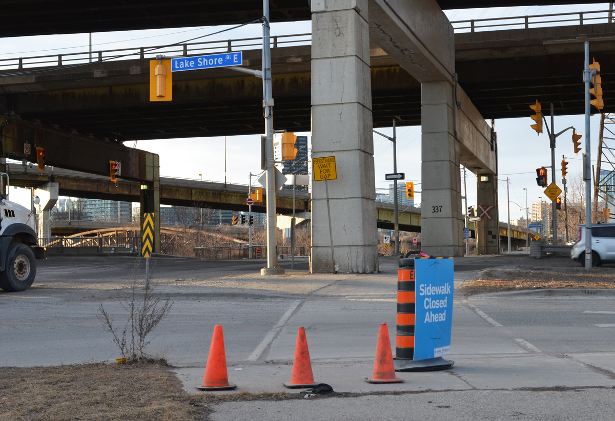
Most of you are now asking, “Where is Bartley Drive?”  Answer – close to the Bermondsey Transfer Station as pictured below.  That’s where the garbage trucks go.  It is also where you can drop off your hazardous waste or renovation waste, things that aren’t allowed in the trash you leave at the front of your house (or throw down the chute in your building).  That large grey building is for yard waste.  And yes, there is a lingering odor.

walking down dirt road, Bermondsey transfer station (garbage) on the right, tall metal hydro pole on the left

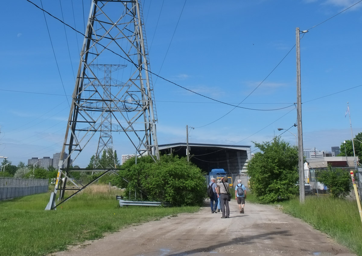
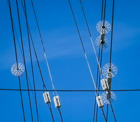
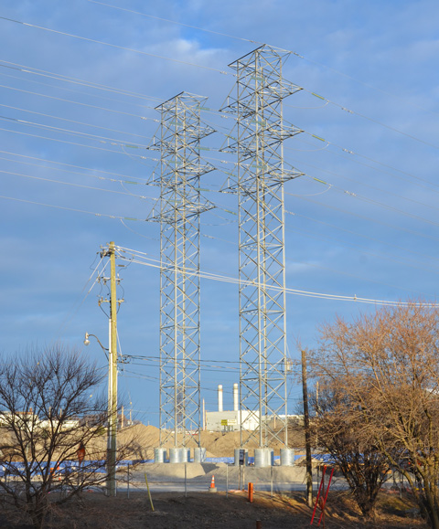
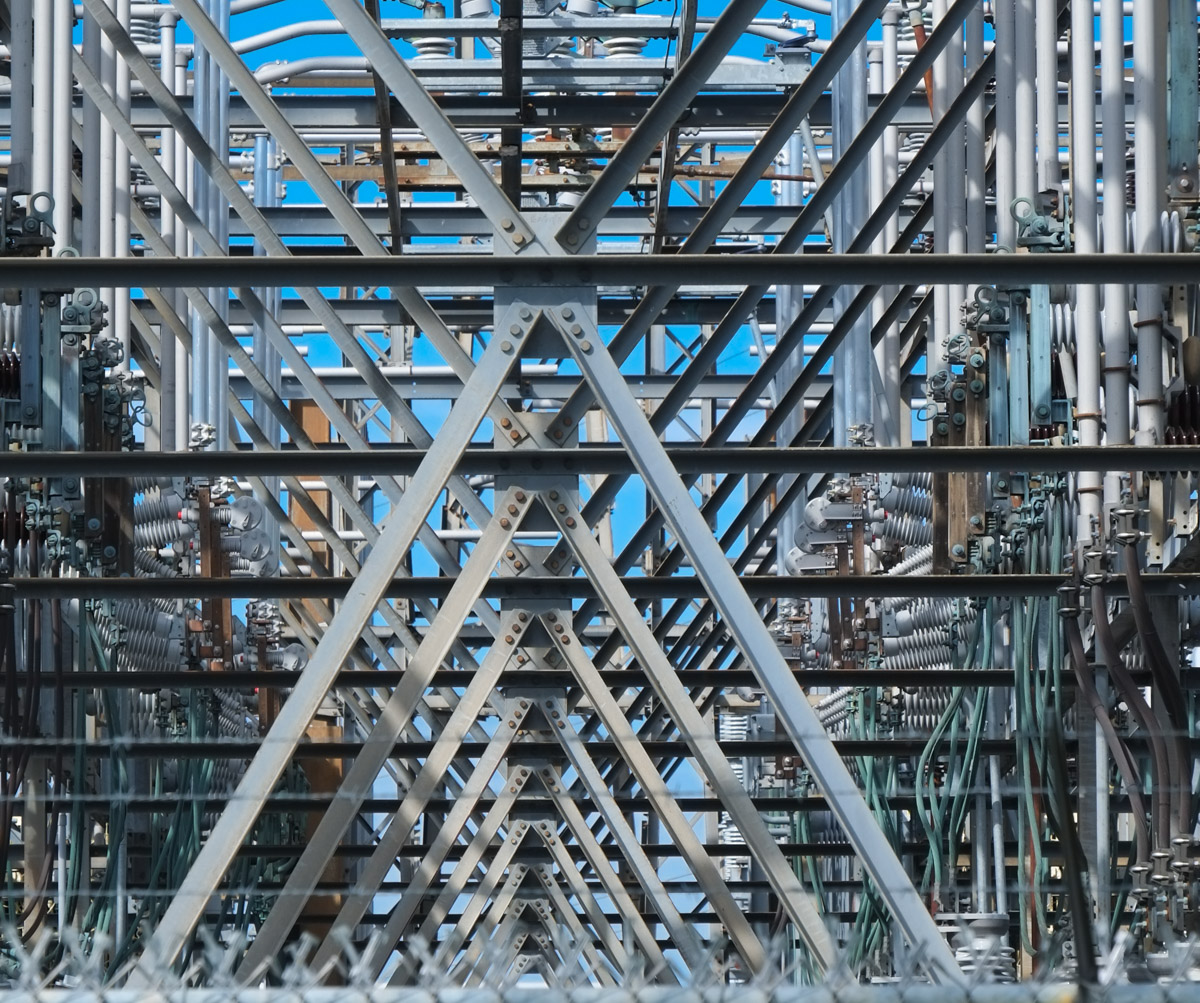
It is also close to the Bermondsey Hydro One Transmission Station.

3 tall metal hydro transmission towers, with lots of wires

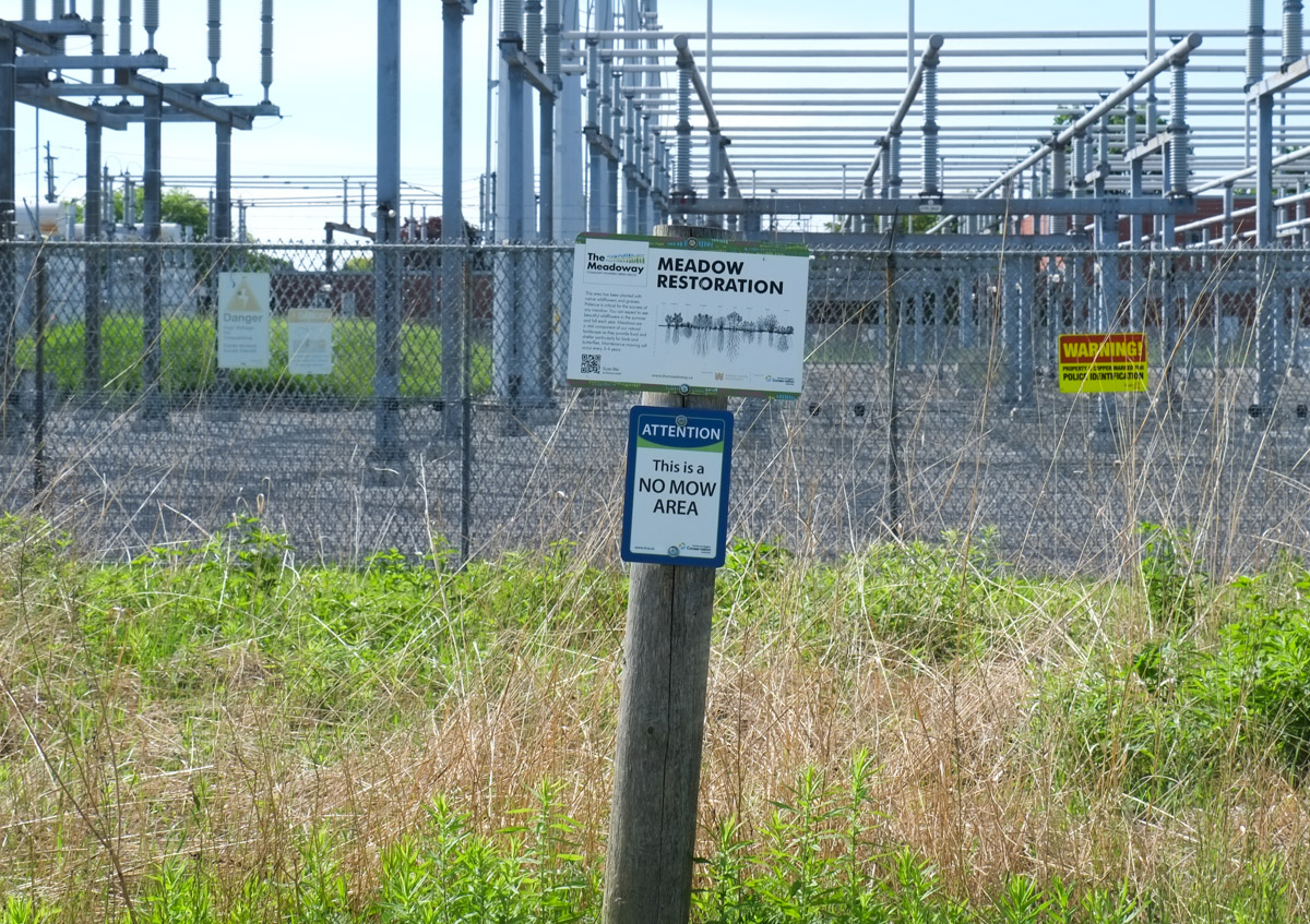
below: Warning sign. “Property and copper marked for police identification.”

sign on wall of electric substation that says warning Property and copper marked for police identification

a series of x shaped cross braces, metal, in an electric sub station

below: The transmission station is on the Hydro Corridor that cuts a swath through Toronto.  There is a plan to turn most of it into “The Meadoway”, a bike and walking path that runs through a restored meadow.  The paths are more developed in Scarborough, see blog post “the Meadoway” from November 2021.

sign for do not mow, meadow restoration area, with electric substation behind

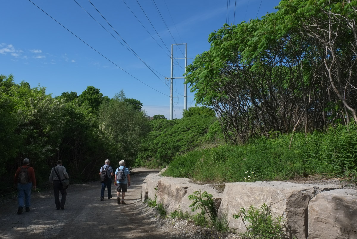
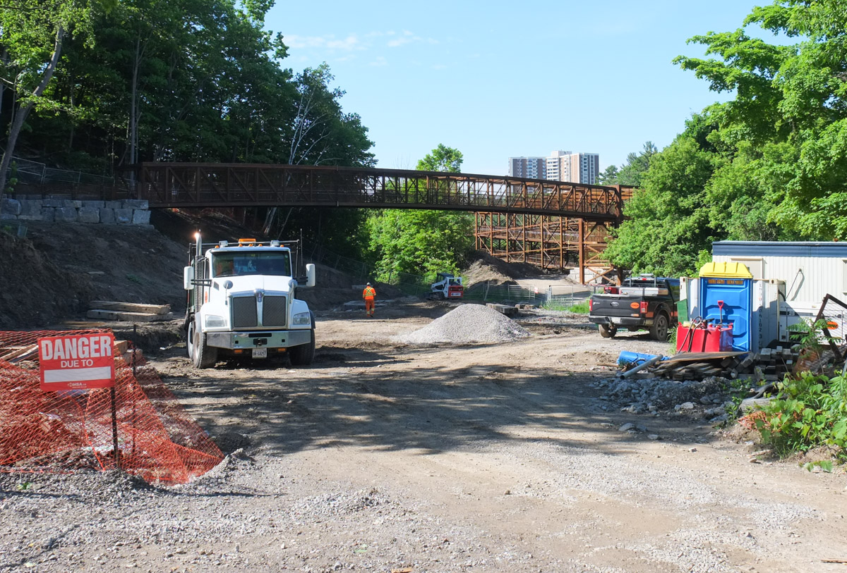
At the moment this section of meadow has limited access.   There is a dirt road that runs through the Hydro Corridor, west towards the Don River.

people walking on dirt road with trees on the left, and large limestone rock wall on the right


a single yellow flower, with some green leaves, growing in front of pile of grey limestone rocks

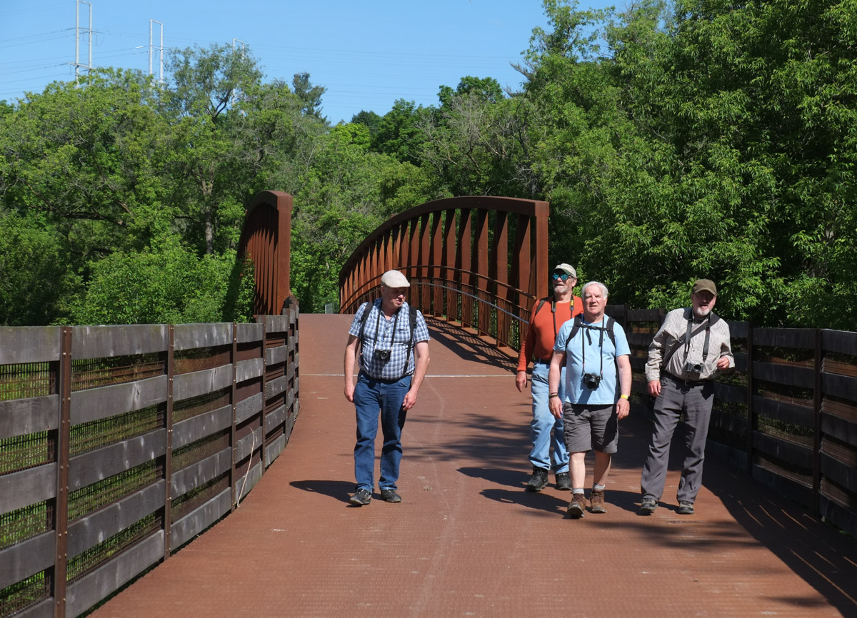
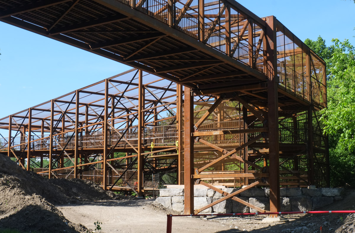
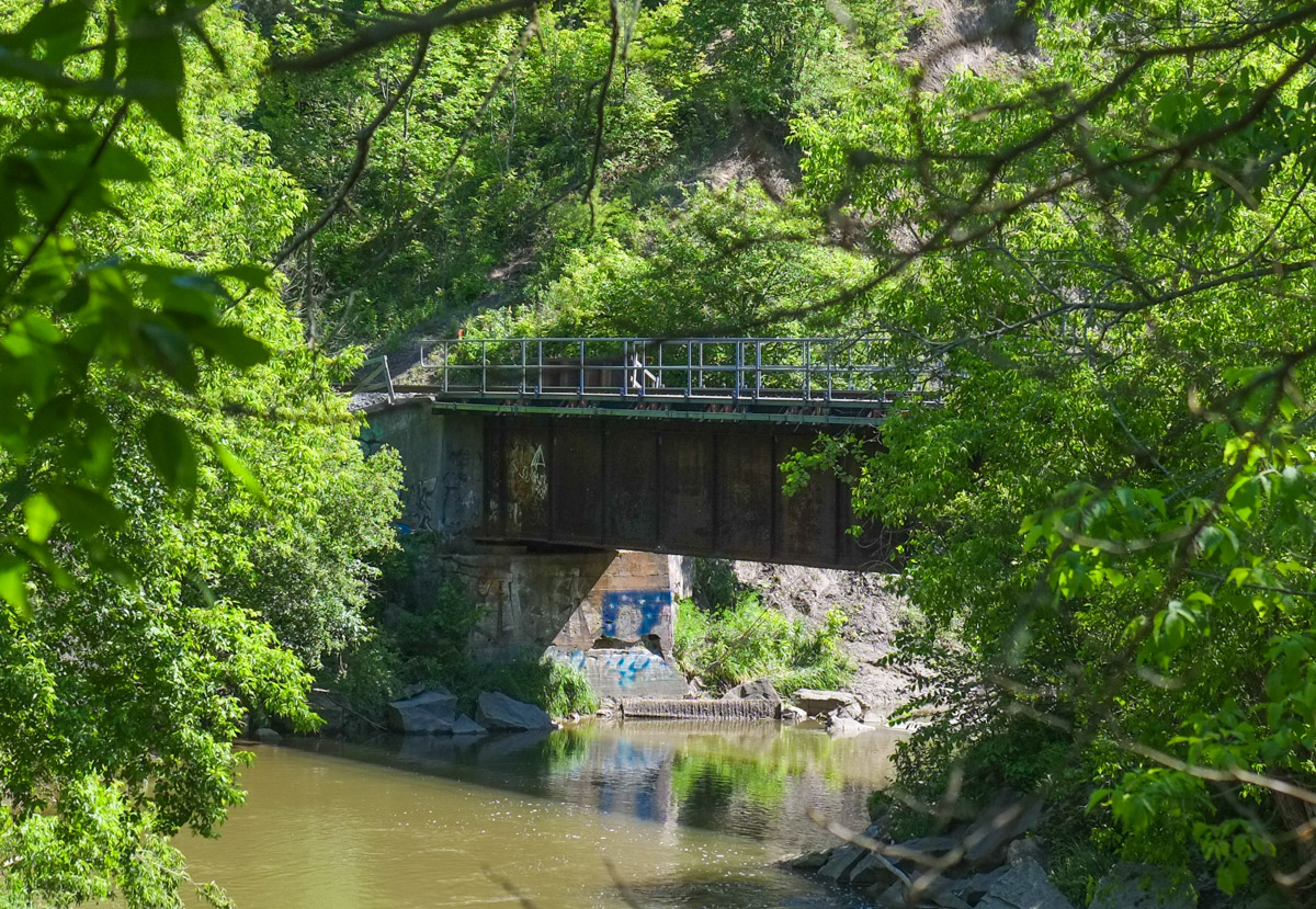
… but the bridge over the river is not quite complete.  Once it is finished,  it will connect The Meadoway and the East Don Trail.

construction site, dump truck, in a ravine, new iron bridge in the background

man walking on path through shrubs towards bridge and railway tracks

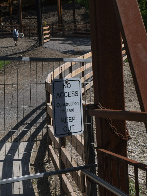
Crossing the tracks anyhow.

crossing the railway tracks

new rusted metal bridge for pedestrians and cyclists, crosses railway tracks

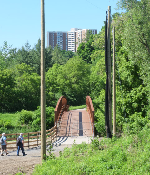
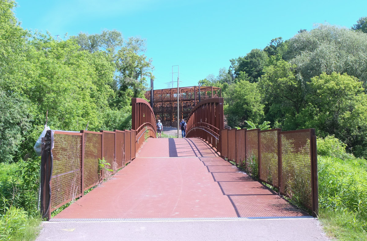
below: Immediately after the newest bridge over the railway tracks, there is another bridge. This one crosses the Don River.  This is now part of the East Don Trail.   There is a section of the East Don Trail north of Eglinton (by the Rainbow Tunnel) but at the present time, they don’t connect.  It’s an ongoing project.   The large poles beside the path are the makings of a large net.

bridge over the don river, with apartment buildings in the background

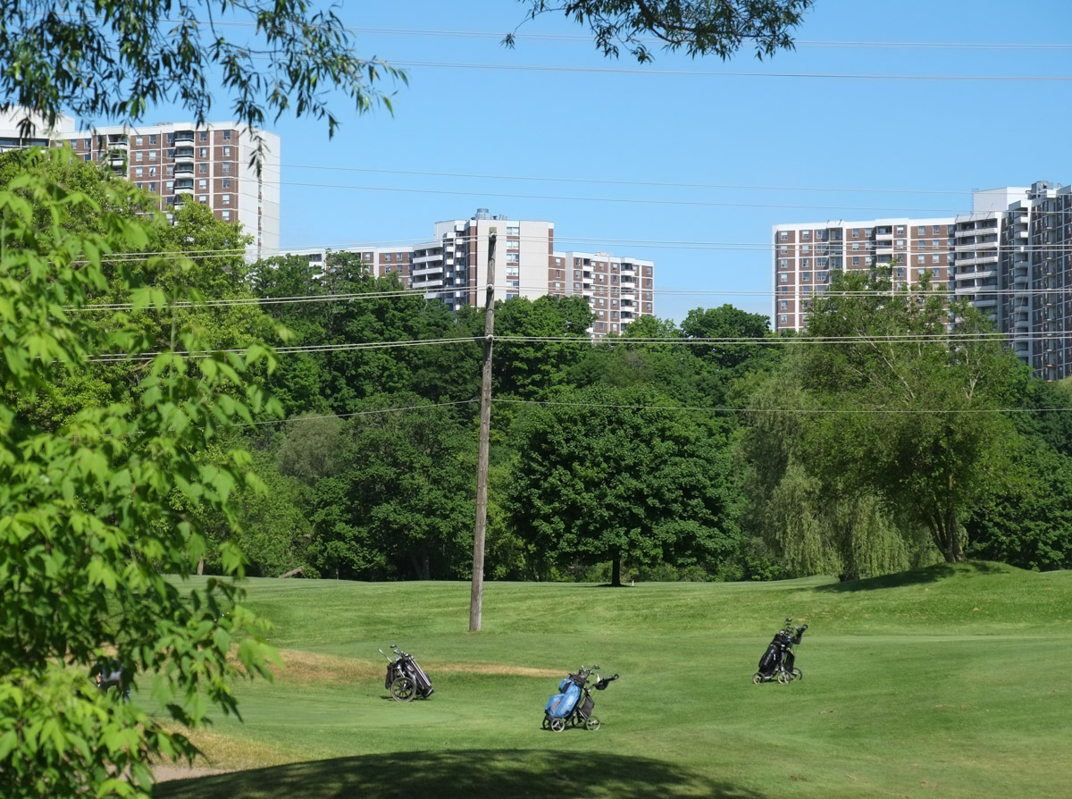
below: The nets are because Flemingdon Golf Club is right here.  I suspect no one wants to get hit by a flying golf ball.

flemingdon golf club with some golf carts, apartment buildings in the background

below: Looking back towards the newest bridge

two bridges, one in foreground over the don river and larger bridge in the background over the railway tracks

fence along a path approaching a bridge construction site, with no access sign posted

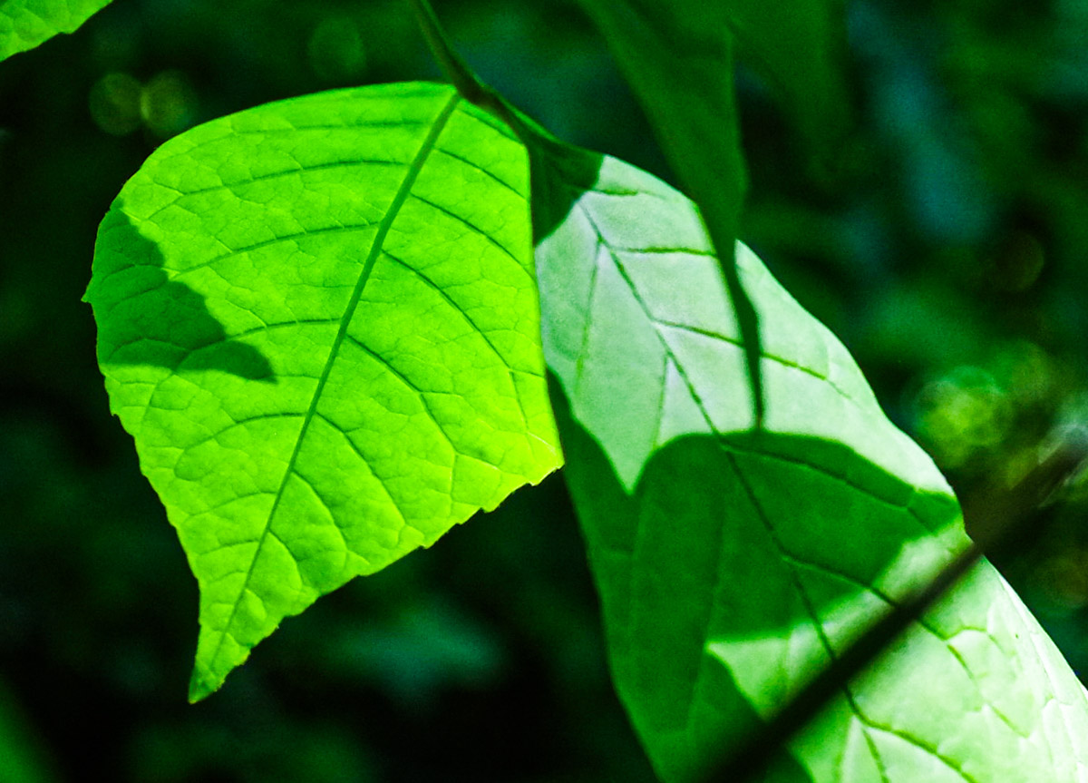
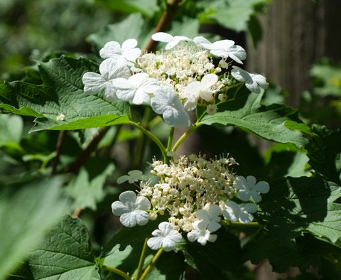
below: White flowers on a Cranberry Viburnum plant.

white flowers of a cranberry viburnum shrub

below: Don River

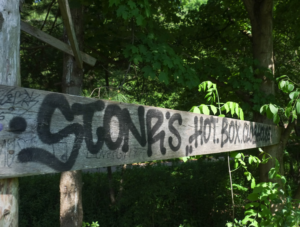
It’s a quiet spot.  But obviously some people make use of the space! Stonr’s hot box clubhouse.

hand drawn sign on old lumber that says stonrs hot box clubhouse


Google maps shows the East Don Trail continuing south at least as far as where the Don River passes under the Don Valley Parkway.  Unfortunately, the next time the path encounters the tracks, it ends.   I forgot to take a picture but the tracks form a wall at the end of the road.   There is a dirt path that runs uphill through the woods (away from the tracks) that probably leads to the Spanbridge Road neighbourhood.   Instead of exploring further we retraced our steps back to Circles and Squares.

With thanks to the Wednesday morning walking group!

4 men walking on a path in toronto ravine, wednesday morning small walking group members

electricity wires and the metal and ceramic pieces on them

green leaves in the sun with shadows made by nearby leaves

The other day, later in the afternoon, I was driving along the Lakeshore when I noticed that perfect lighting on the south side of the Keating Channel.  I’ve done blog posts about the Port Lands development but I hadn’t looked at it from the other side.  A quick change of plans – a parking spot nearby and a walk along the Lakeshore.  This is some of what I saw that day.

below: At the bottom of Cherry Street

Cherry street railway building

below: At the corner of Cherry and Lakeshore.

old concrete silos as seen from Lakeshire and Cherrt, with Gardiner Expressway above

below: Along the Lakeshore, looking south towards Port Lands at Cherry.

yellow fire hydrant in front, guard rails along the side of Lakeshore Blvd, with Lafarge silos in the background

below: The Gardiner curves slightly northward as it aligns with the Keating Channel.  Lakeshore Blvd takes a wider turn and comes out from under the Gardiner for a few brief moments before slipping back under as both roads parallel the channel.

Gardiner Expressway curves to the left

below:  On the south side of Lakeshore, there is no sidewalk here but the grassy area is wide enough…..

shadow on the grass beside the Lakeshore

below:  Walking here offers a different view of the Port Lands.  The “smokestack” on the right is the old Hearn Generating station.

Keating Channel, looking east

below: Some of the buildings that remain on Villiers Street.

looking across the Keating Channel to a low rise building, square dock juts into the channel

old buildings still remaing on Villies Street as seen from across the Keating Channel

below: Panorama of Keating Channel being developed, 1916, before there was much on the Port Lands and  Cherry Street was just a one lane dirt road.

panorama - 1914 picture of building of Keating channel to divery mouth of Don River to Lake Ontario, black and white vintage photo, also Port Lands before they were developed

below: Keating Channel, 1916

1914 picture of building of Keating channel to divery mouth of Don River to Lake Ontario, black and white vintage photo
The original plan for the diversion of the Don River called for a more curved mouth of the river before it joined the Keating Channel.  But the British American Oil Company who owned the land fought that idea.  Instead, the 90 degree turn that still exists today was built to avoid crossing B/A property.

below: A few years after the channel was upgraded (1934)…  From vacant land to a forest of BA oil tanks. There are railway tracks along the edge of the channel.  From Wikipedia: “In 1908, with 8 shareholders, B/A built Canada’s third refinery on 3 acres on the eastern waterfront in Toronto. The company refined imported crude oil and its main product was kerosene; a then-useless by-product was gasoline, which was dumped into a swamp.”

photo of Keating Street

Photo by Arthur Beales. Toronto Port Authority Archives, PC 1/1/10769. Found at Wikimedia Common

.

below: BA refinery with the Don River on the right, 1931.  There were still storage tanks here in the 1960s when the city was building the Gardiner Expressway.

1931 photograph, vintage, black and white, of British American oil refinery just north of the Keating Channel and just west of the Don River,

Photo source: Library and Archives Canada, online

.

below: This rusty “fence” isn’t going to hold anyone or anything back.  I had visions of tumbling into the icy channel if I went near it.  I think that just looking at it made it wobble.

old rusty metal barrier between the Keating Channel and the road, with some weeds and gravel

below: There are still places to tie up your boat

a large metal piece beside keating channel, for tying off boats who want to park there,

below: A big tap? It’s attached to a pipeline but is it functional?  (It doesn’t look like it).  There is a lot of infrastructure buried under the Lakeshore, sewer lines, water mains, electricals, etc., but this looks like a piece of history.  Pleased correct me if I’m wrong!  Also – if you plan to explore here, there are stretches where the only option is to walk right beside the road.

old rusty large valve for a pipeline, beside Lakeshore Blvd,

below: Likewise, the box structure is probably there to protect the rest – but what are they?  Valves of some kind?

old metal pieces of hardware, pipes and valves?, rusty, beside the Keating channel

lone building onthe other side of the water, surrounded by construction at ground level.  boarded up, two storey building

construction in the background, blue digger, vacant land, and the Keating channel in the foreground, ducks in the water

below: Looking north to Canary District and West Don Lands development.  The oil tanks are long gone.

Canary district development from the Lakeshore, looking north,

below: Looking up from Lakeshore, under both the Gardiner and the ramp from the DVP

view from the Lakeshore looking up to the Gardiner Expressway and the underside of the ramp from the Don Valley Parkway to the Gardiner, 3 levels of concrete pillars and roadway.

below: Looking west from Don Roadway along the Keating Channel to the new Cherry Street bridge.

view from the Don Roadway back to the new Cherry Street bridge, looking west, with the Gardiner to the right, Keating channel with thin layer of ice on it, docks and a few buildings on the Port Lands side of the channel

below: Intersection of Lakeshore and Don Roadway.

at the intersection of Don Roadway and Lakeshore Blvd, traffic cones and a blue sign that says sidewalk closed ahead

below: Two metal transmission towers standing side by side.  Geometrical, straight lines, yet lace-like.

two tall metal hydro poles with lots of blue sky, power plant in the distance, and looking very small

below: From the Don Roadway, northbound and homeward

street art on the concrete bents holding up the ramp from D V P to Gardiner Expressway, walking path beside, with a man walking his dog,

close up of part of electrical station equipment, with water tower in the background with word Ponds written on it

chain link fence with a design woven into it with different colours, artwork, shrubbery with no leaves (winter time), billboard on an expressway in the background