


It was a beautiful day on Monday when I visited the “Winter Stations” (scroll down to next blog post), cold but sunny. I decided to walk north on Woodbine since I haven’t done that for a while.
below: Playing with mirrors while waiting for the washroom at Woodbine Beach because there is only one women’s washroom (why is there only one?)

below: From portholes to demolition holes – I made it as far as Queen and Woodbine where there is a large hole in the ground

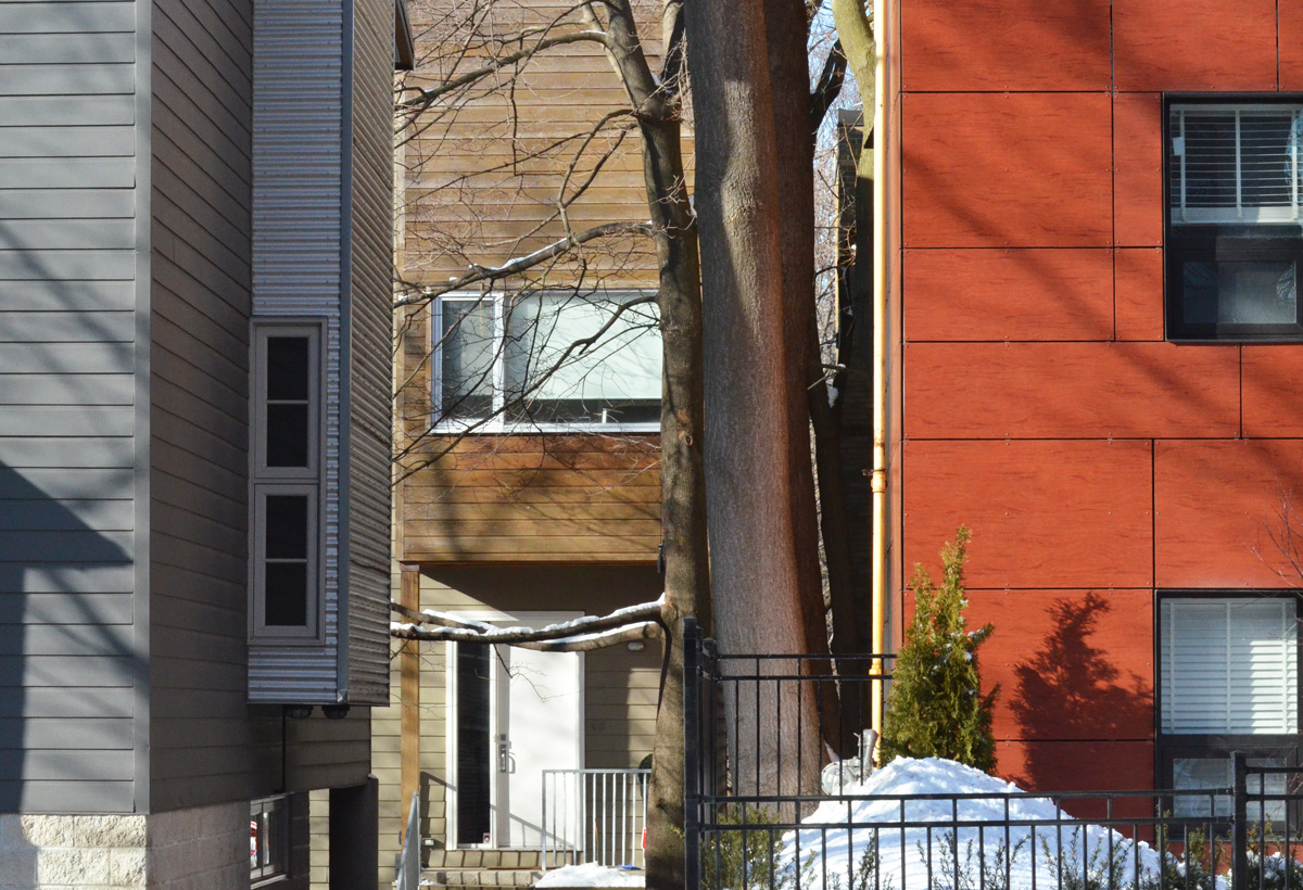
… because just north of there I discovered alleys and small streets that I don’t remember walking. Who can resist the allure of a red door?

below: I went to Norway

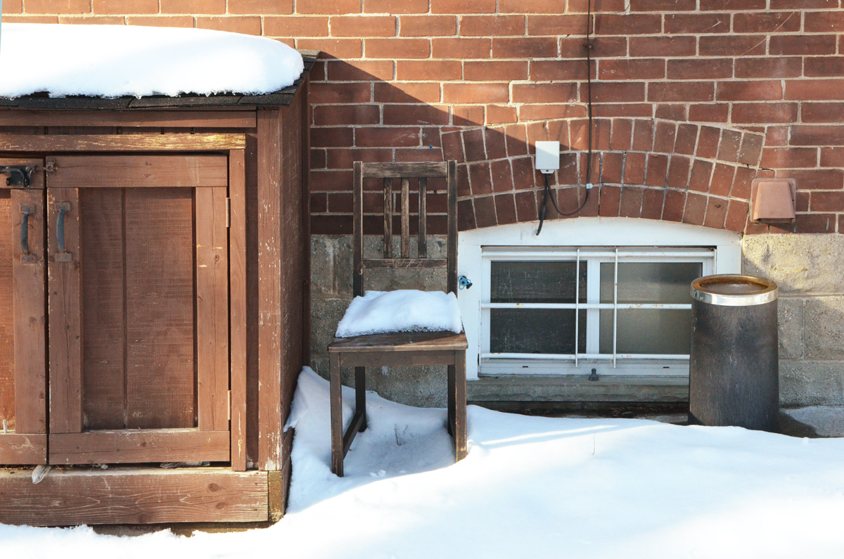
below: And I passed the North Pole

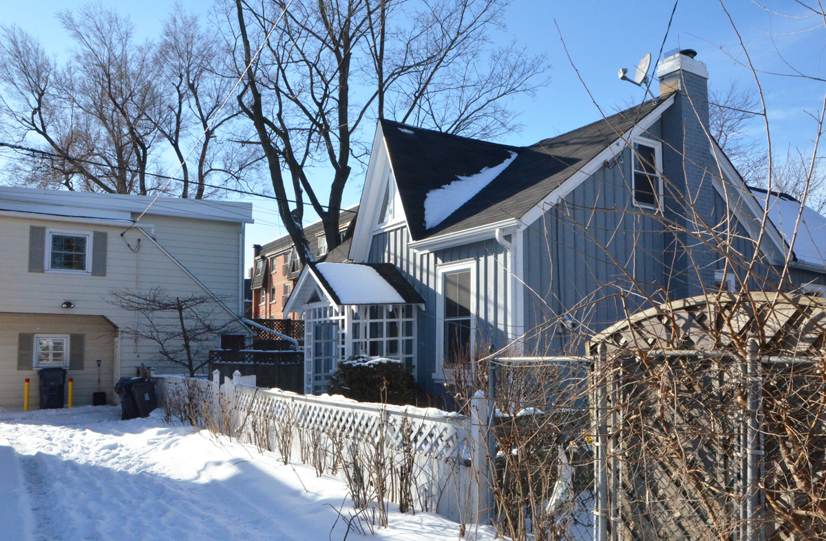
below: I even walked past this No Trespassing sign. The old cars parked the house behind caught my eye but this was as far as I ventured.

When there is no planned route and you’re only following your nose or sticking to the sunny side of the street, you can run into some surprises. There were a lot of older houses – here are a few of them:
below: There are still some of these Victorian rowhouses closer to downtown but I wasn’t expecting to find any here. As it turns out, this was part of the village/town of East Toronto. In 1888 it was a village with about 800 residents. It became part of the City of Toronto twenty years later (and with 4200 more people).

As it turns out, one of the streets that I walked on, Lyall Avenue, is a Heritage Conservation District. The street was surveyed in 1884 and by 1888 a few houses were built on some of the fifty yard lots. Most of the development occurred between 1909 and 1924. It was definitely a middle class neighbourhood. The full report published in 2006 appears on the City of Toronto planning department website.

below: This house stands alone. A very typical older Toronto house.

below: This tidy well-kept workers cottage can only be accessed from the lane.
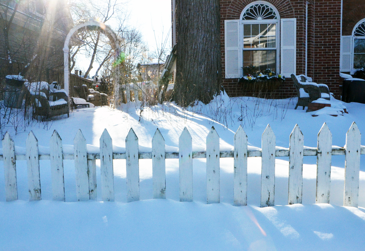
below: A white picket fence and wicker furniture waiting for spring.
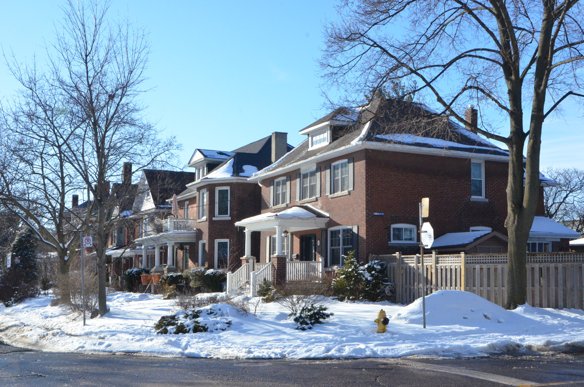
All of the above houses were north of Kingston Road where the lots sizes were fairly big. South of Kingston Road, the houses are narrower and close together. (or joined together).

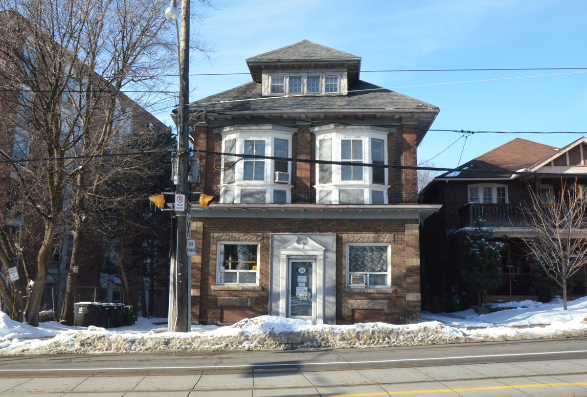
below: This square, substantial sized brick building is on Kingston Road. Between Woodbine Avenue and Main Street, Kingston Road runs along the crest of a ridge.
below: Newer residential buildings on Kingston Road.
below: 1922, looking west along Kingston Road from Main street. That’s almost 100 years ago, and there were streetcars running here even then. No cars, just a horse and wagon.
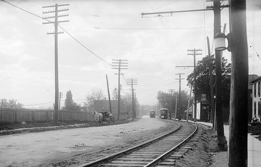
Photo credit: City of Toronto Archives. Found online in a ‘Beach Metro’ article where you’ll find more history of the area.
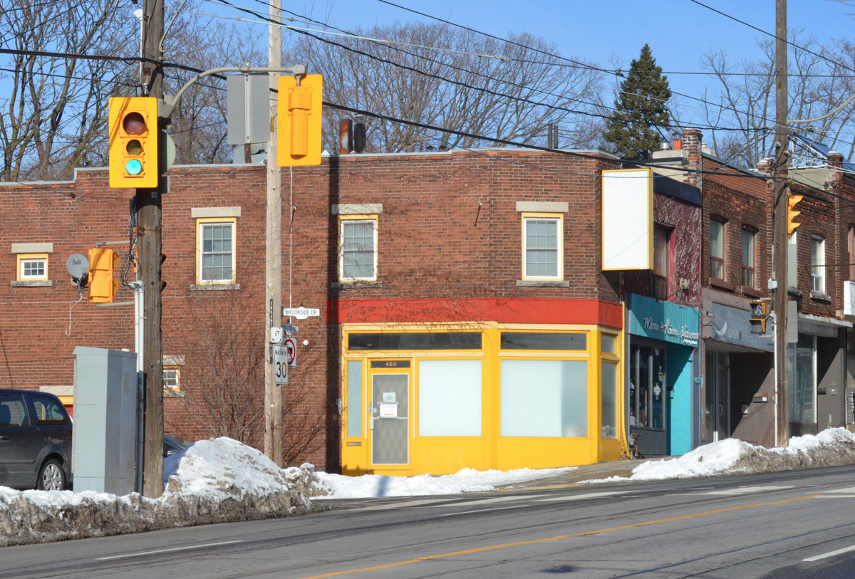
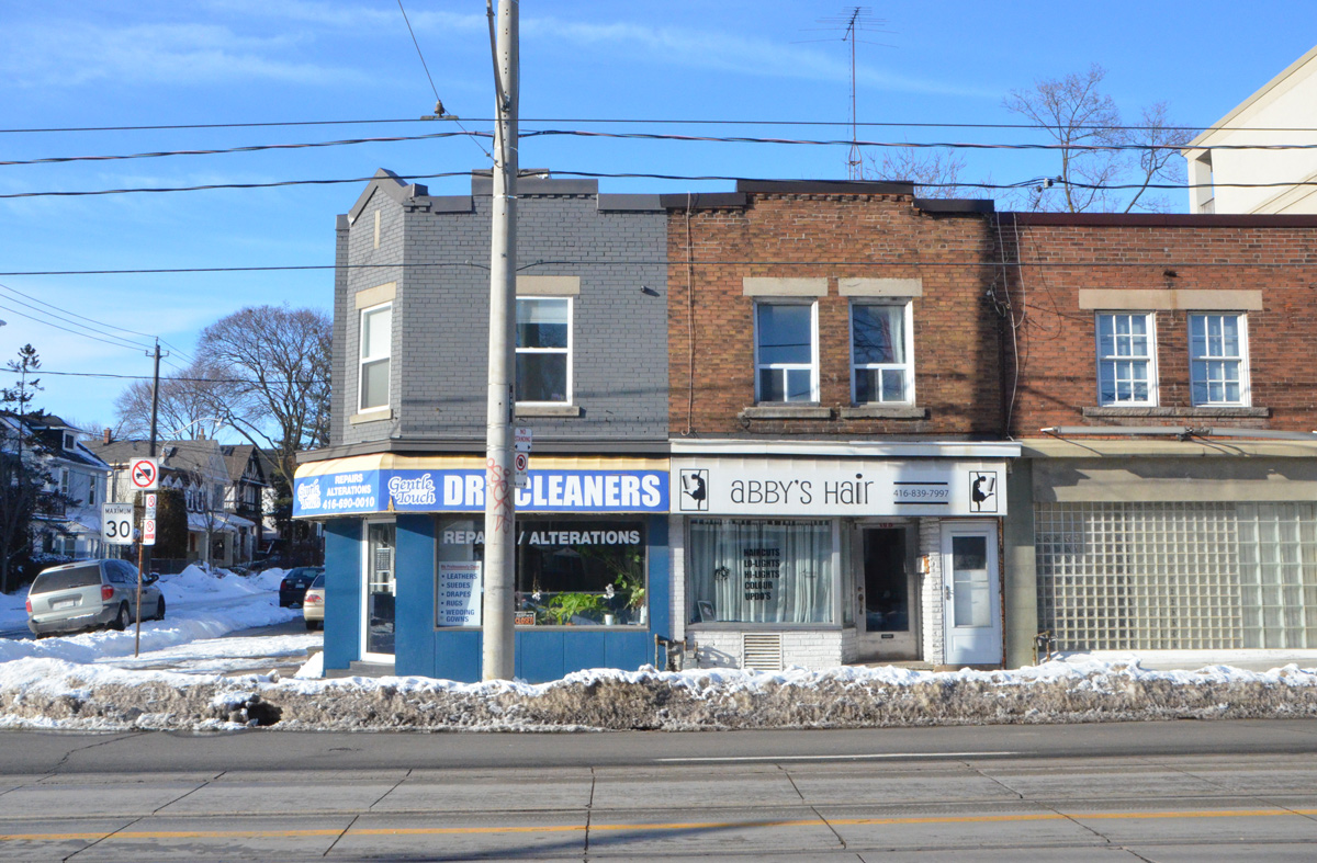
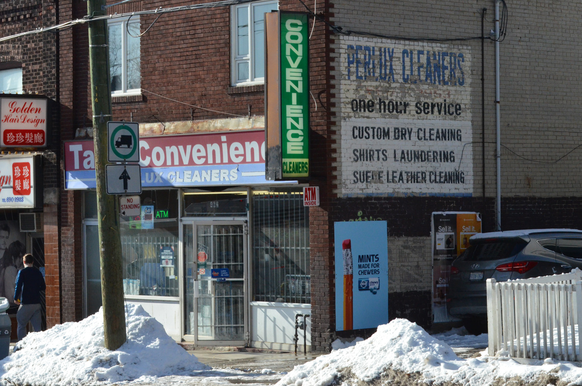
The next three photos are some of the typical two storey, flat roofed, brick, all in a row, stores and businesses that were built in Toronto in the early 1900’s and later. If I remember correctly, these were all on Kingston Road.
below: A warm and colourful summer scene painting behind a chainlink fence that surrounds the playground at Kimberley Junior Public School.

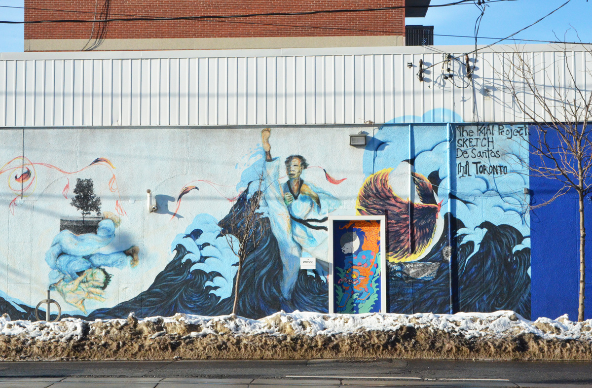
below: Mural at Gerrard and Main.
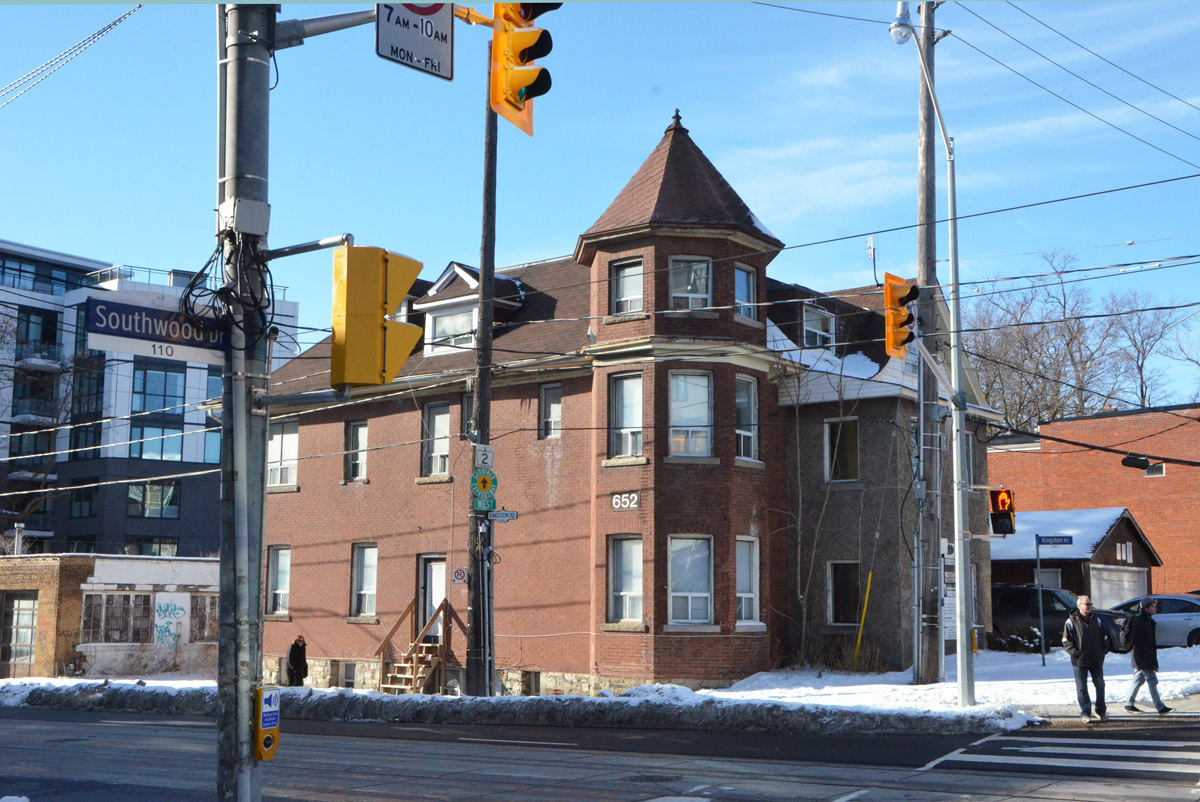
below: The last architecture picture – this building with a turret at Kingston Road. Here Main Street becomes Southwood Drive.
below: Looking north on Main Street from Gerrard. Here the streetcar turns towards Main subway station. The bus shelter in the middle of the street is definitely old style – one of the few remaining in the city. From here Main street is a bridge over the railway tracks.

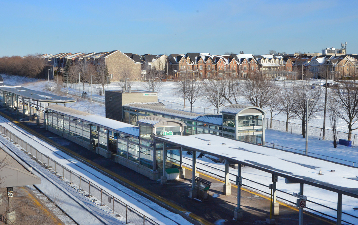
below: From the bridge, looking southeast over Danforth GO station. Prior to 1940, this was the location of York Station as well as the Grand Trunk Railway’s main freight yard. The yard stretched along Gerrard Street and employed several hundred people. At that time, Gerrard Street was called Lake View Avenue (could you see Lake Ontario from there?).
below: York station in 1890. It was renamed Danforth in 1922 and demolished in 1974 to make way for the GO station. The freight yard is to the right.

Photo credit: Toronto Public Library. The picture was found online in an article on Danforth station that appears on the Toronto Railway Historical Association website
below: Hanging out on the Danforth

But I didn’t hang out for long. From here to Main Street subway station is only a few steps and that was enough walking.
My writing can be almost erratic as my walking! I hope that I didn’t lose you along the way.

You were a brave soul out in the cold – but it does look lovely when the sun shines. I have driven through and taken both buses and streetcars through this area but I’ve not done much walking around here – must add it to the list. I love getting off transit in new neighbourhoods and walking – and going up and down some of the side streets almost always turns up some gems. I’m looking forward to getting out a bit more once the weather warms up and the ice is gone. Love all your photos.
Thank you for the great posting! Did not know about Lyall Avenue. I always bike straight down Main when in that part of town, but will make a detour this summer. Great that they managed to get HCD status and preserve their streetscape. Dundonald St north of Church and Wellesley is of similar vintage, with a number of handsome Edwardians, and is losing the heritage designation battle unfortunately.