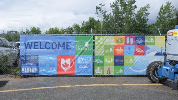
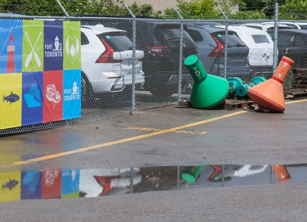
Welcome back! Bienvenuti! A colourful sign to welcome you and visitors to Toronto. I’m not sure how many visitors get to see this banner!
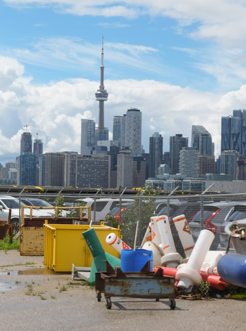
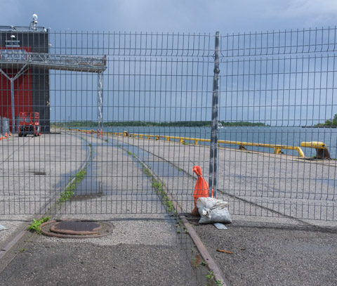
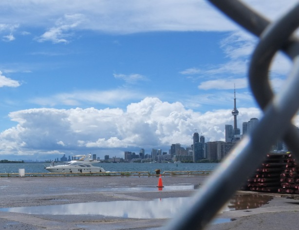
The Port of Toronto has almost become an obscure corner of the city. It’s certainly not where most tourists arrive in the city! Nor is it a place where residents venture.
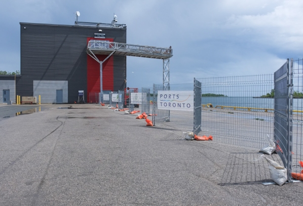
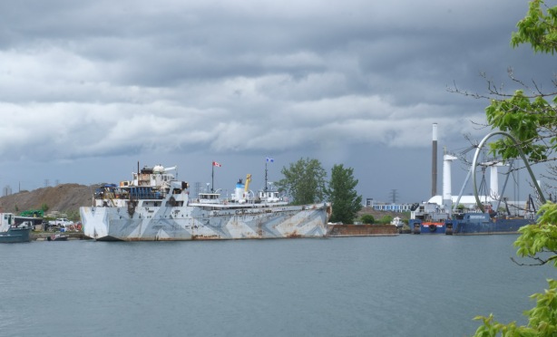
below: Once there was a ferry between Toronto and Rochester that docked here but it didn’t last long. Now there are a few cruise ships that stop here. The building would be almost deserted if Netflix hadn’t taken over some of the space.
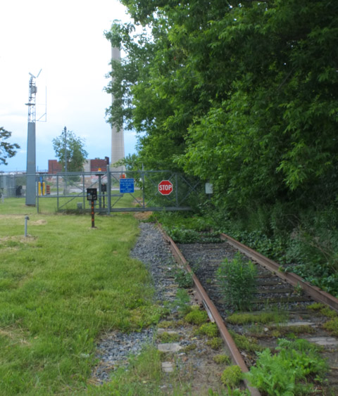
below: The fragments of railway track are reminders of the industrial past.
below: There are bits of track scattered all over the Port Lands
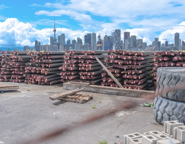
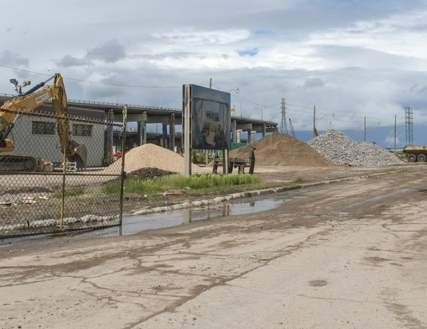
below: The Port is much quieter but there is still activity. These long metal bars that are neatly stacked on shore were probably recently offloaded.
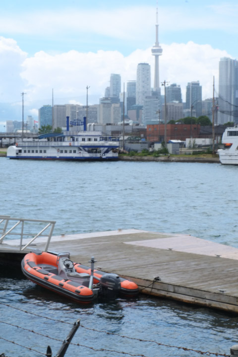
below: Boats in the Ship Channel. The redevelopment plan for the Port Lands has always included the retention of the Ship Channel. The sand and salt for Toronto’s roads is delivered here.
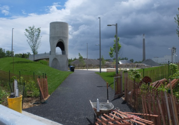
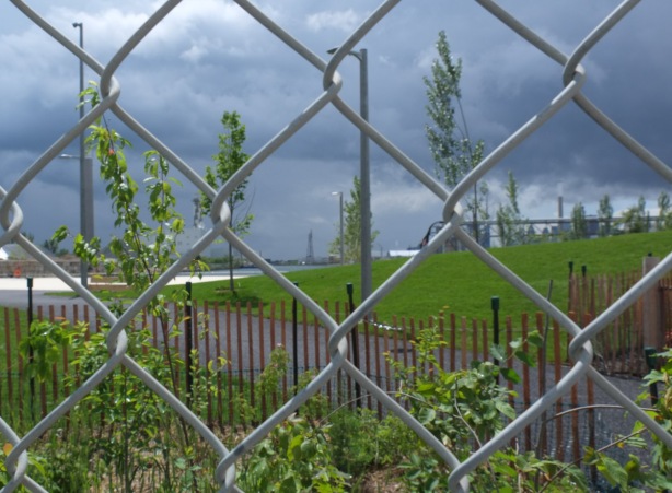
below: At the east end of the Ship Channel, a new park is being developed – Leslie Lookout Park. The concrete cylindrical structure is a lookout tower so there will be views over a man-made beach (that appears white in the photo). The beach is larger in real life than it looks like in the photo.
below: Can you see the little sliver of blue water? That is the Ship Channel.
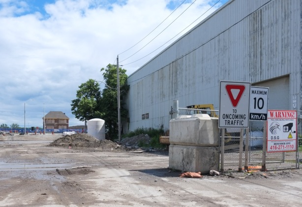
below: Looking south on Munitions Street
below: Toronto Firehall, Station 30, built in 1928 still stands. It is a heritage building and if the plans are followed, it will be repurposed.
below: The redevelopment of the Port Lands has involved a lot of infrastructure changes. Roads have been changed, rivers have been diverted, bike lanes and better sidewalks have been created. At times it has been confusing to navigate through.
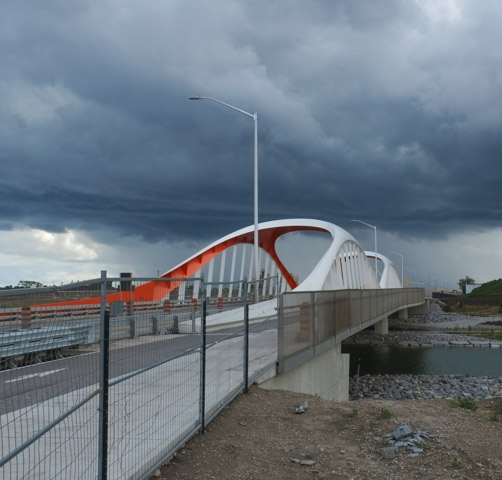
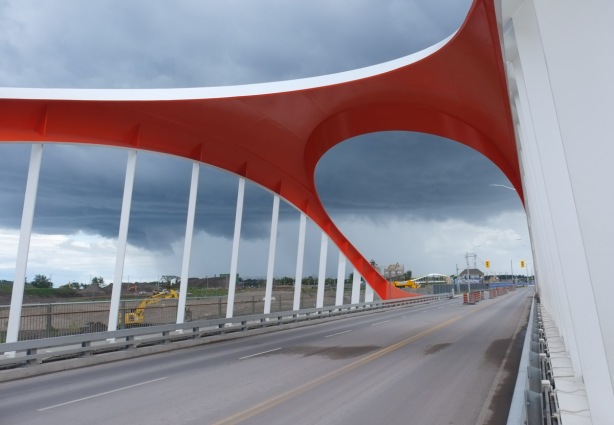
below: The new Commissioners Street bridge is in, and there is water running under it. There is now a river on land that was once industrial. On the north side of the bridge there is a bike lane and a wide sidewalk.
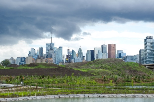
below: The bridge offers new vistas of the city. Many new trees have been planted.
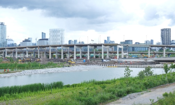
below: Lakeshore Blvd crosses the Don River on a very low bridge (like before) while the ramps between the Gardiner and the DVP curve above it.

below: Just be careful because there is no sidewalk on the south side (why not?? for the sake of saving money on 4 extra feet??)
below: The same sleek curvy design seen in the previous bridges is repeated here.
below: Another series of photographs of the work being done here, by Vid Ingelevics and Ryan Walker
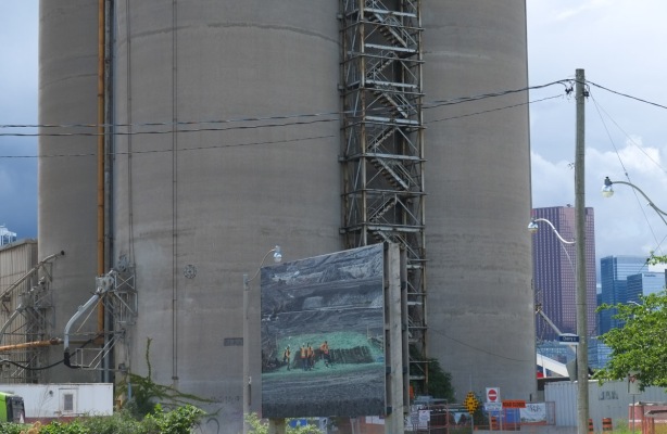
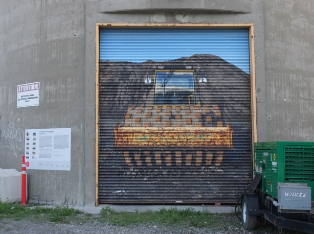
below: One photograph is mounted on the roll-up door of one of the ESSROC cement plant silos
below: Like the previous series of images, most of the photographs are displayed down the center of what remains of Villiers Street, on top of the remains of the old railway line.
below: One more photograph on what remains of Villiers Street – and in the background, what remains of the eastern end of the Gardiner Expressway.
below: Southeast corner of Villiers and Cherry
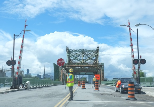
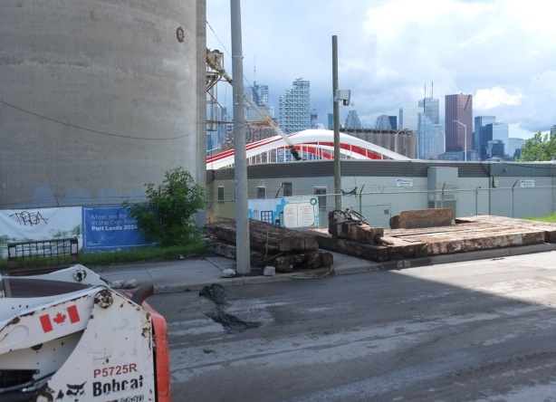
below: One original bridge remains, the one with the long name – Cherry Street Strauss Trunnion Bascule Bridge.
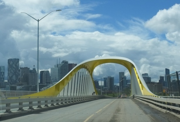
below: The first of the new bridges that was actually operational is the south Cherry Street bridge, the yellow one.
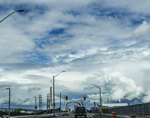
below: The second new bridge on Cherry Street is now in use. For months we’ve been able to take pictures of the side of it as we stood on the old Cherry Street bridge. (see The New Cherry Street Bridge from Nov 2020). Maybe one day in the future there will be a streetcar on the east part of the bridge. As you can see, the rain came and we bailed. Better pictures of the bridge will have to wait for a future post!
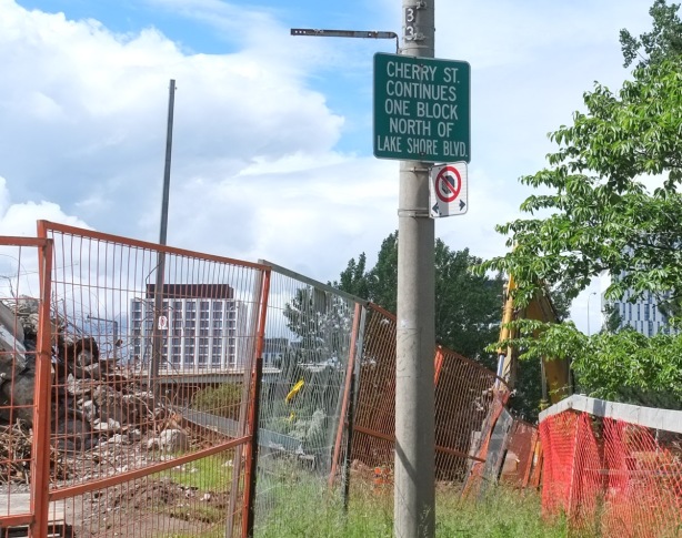
below: The old Cherry Street bridge is gone and the road has been rerouted. The old jog in Cherry at Lakeshore is gone.
below: Misdirection.
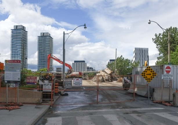
below: Trying to see the new bridge from the site of the old bridge but there seems to be a construction site in the way.
below: Continuing north on the now straight Cherry Street. Any ideas what that white structure is ahead? It runs parallel to the railway line at track level and crosses Cherry Street just south of the railway underpass.
We now exit the Port Lands and finish today’s explorations…. with the exception of one quick note…. I noticed that the old Canary Diner on Cherry is now painted a reddish orange colour. It looks like it is being renovated. A story for another day!


