Posts Tagged ‘bike path’

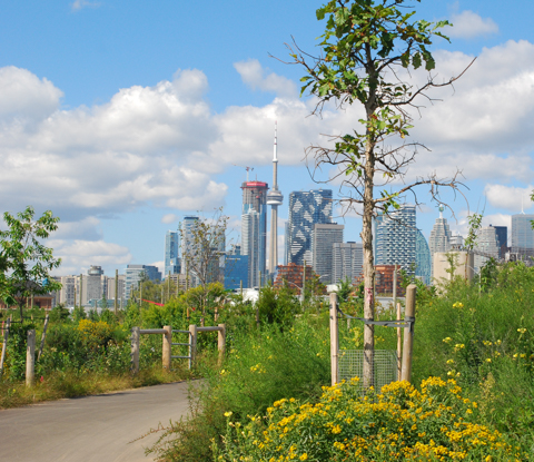
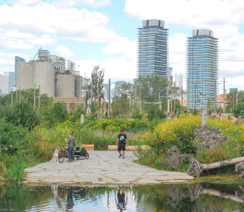
A new park in the Port Lands has opened.  Biidaasige Park.  Biidaasige translates to “sunlight shining towards us”.

new mouth of the Don River, flowing into Lake Ontario, through Biidaasige Park on toronto eaterfront, toronto city downtown in the background

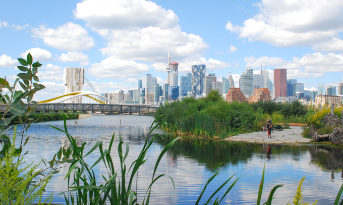
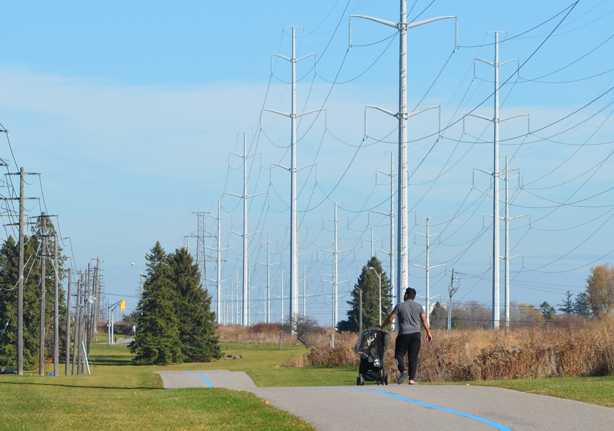
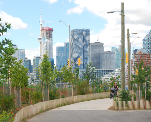
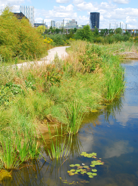
It is centered around the new mouth of the Don River, with lots of walking and cycling paths that wind along the shores and through the newly planted shrubs, trees, and other native plants.

north end of new yellow bridge in the portlands, over the Don River, with walking trail along the river, Lafarge cement in the background

newly planted trees along path in biidaasige park, with toronto downtown in the background

a mother pushing a stroller walks on path n biidaasige park, toronto skyline and highrises in the background,

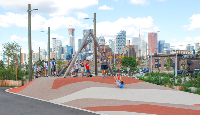
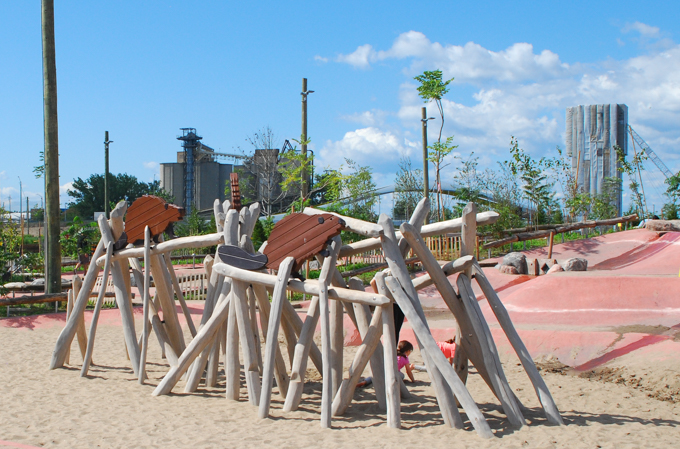
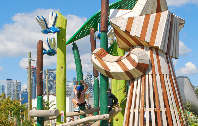
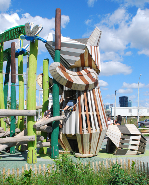
There is also a large playground where plenty of adventures await!

two white scottie dogs, scottish terriers, at playground at biidaasige park

kids on a zip line at biidaasige park

How many animals can you spot?

playground structure made of old logs, looks like a beaver dam, with wood sculptures of beavers on top

large wood playground structure in the shape of a raccoon

large wood playground structure in the shape of a raccoon

boy jumping off a large wood carving painted to look like a giant eagle, biidaasige park playground

large white wood play structure in the shape of a snowy owl

large white wood play structure in the shape of a snowy owl, in a playground

cyclists on path, biidaasige park, beside raccoon play structure

group of people using the new grills, barbecues, at biidaasige park

walking and biking path through biidaasige park towards red bridge on commissioners street

Don River flows through wetlands and grssy area, towards new red bridge, port lands

two women on the shore of DOn River

greenery, shrubs and plants in foreground, lafarge cement, yellow bridge in background, biidaasige park, don river

newly planted trees in front of Don River as it goes under new yellow bridge

water lilies in don river, a walking path beside the river

small access area to Don River with walking and cycling path, biidaasige park,
two pale purple chickory flowers poke their heads out from between slats of a wood fence

A black wasp has found a swamp milkweed flower.

a black wasp on top of a pink flower of a swamp milkweed plant

below: The washroom facilities are still temporary (I hope!) but at least they exist….

temporary toilet faciities in a portable building, white, by sidewalk, port lands, by biidaasige park

workmen doing garden work in park at portlands, with lafarge cement silos in the backgroun

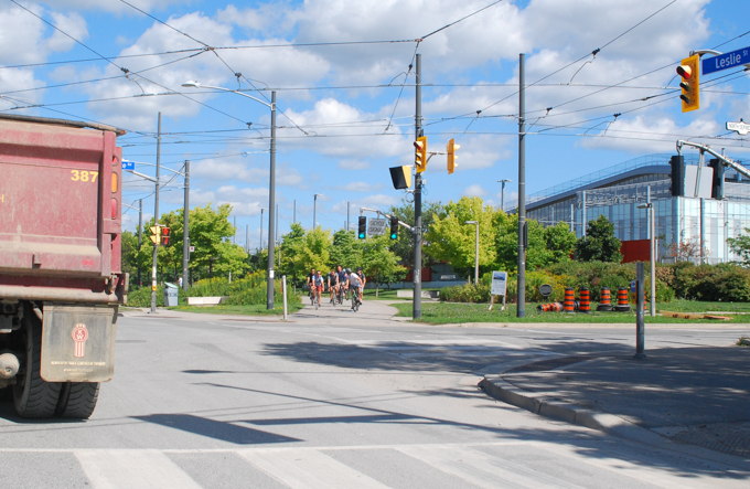
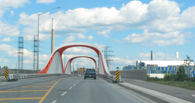
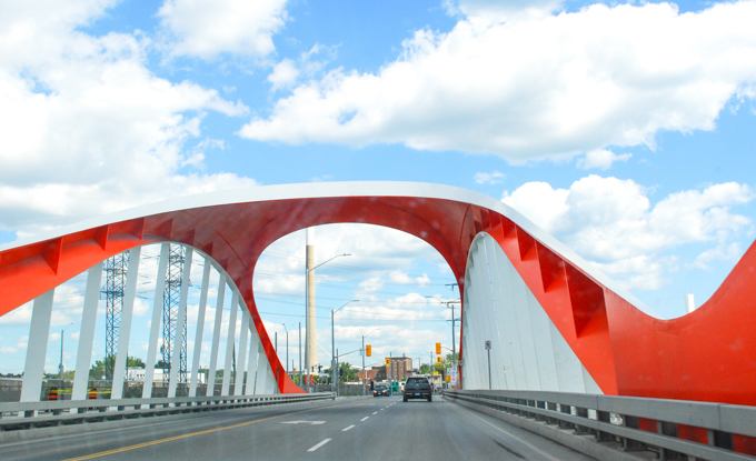
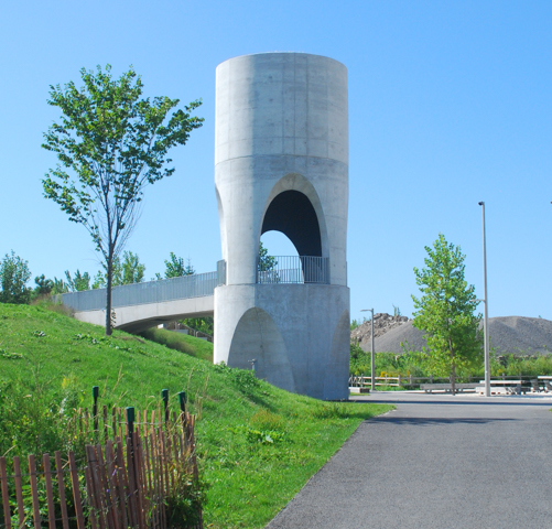
… But there is more.  Biidaasige is not the only new park in the area.  Just to the east is the new Leslie Lookout Park that features this 10m tower that references the areas industrial history.  It echos the silos of the past and provides an elevated viewing area.

path leading to Leslie Lookout park, and its repurposed concrete tower

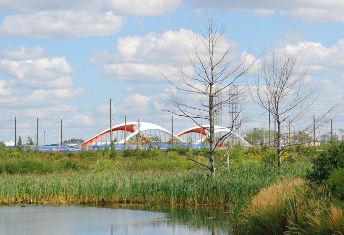
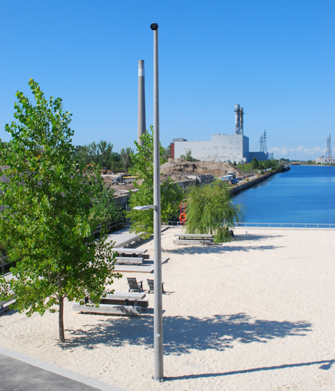
below: The park is at the east end of the Ship Channel

view from tower at leslie lookout park, along ship channel to the west

inside the leslie lookout park tower, looking northwest towards city skyline

sand beach and muskoka chairs at leslie lookout, overlooking ship channel, and next to an industrial site

 at leslie lookout, towards CN Tower and city ckyline, overlooking ship channel,

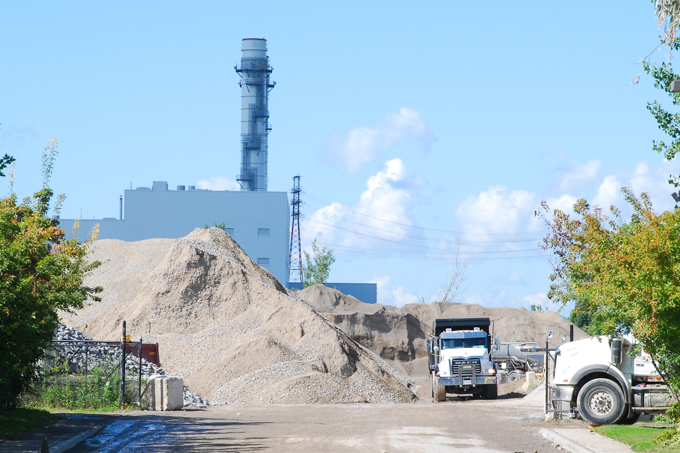
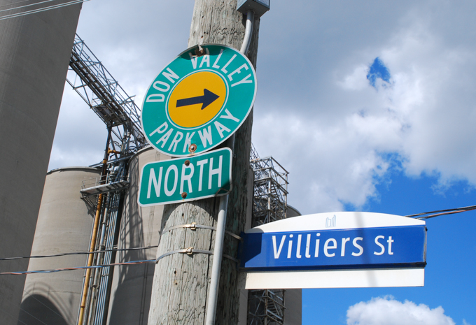
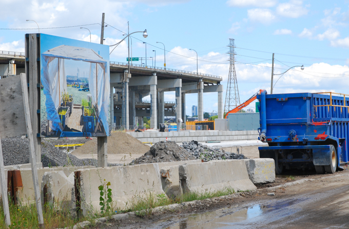
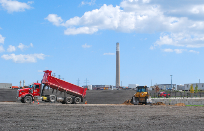
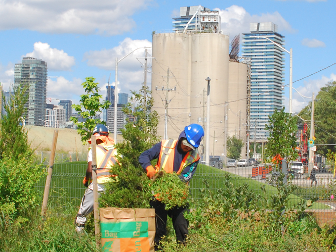
Both parks are just part of the redevelopment of the Port Lands.  The area has always been industrial, and many industries remain.  Construction continues on other areas
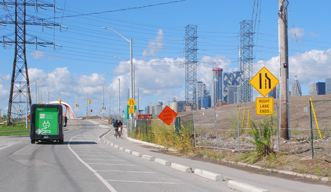
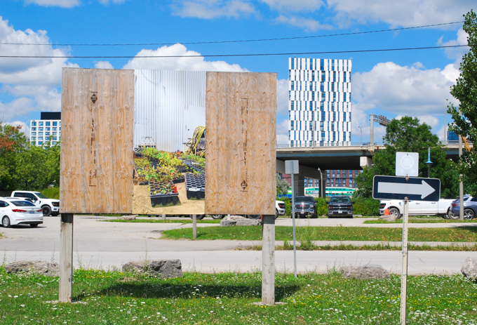
below: Unwin Avenue

Unwin Ave looking east towards the Hearn generating station and its very tall smokestack

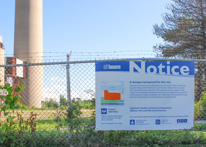
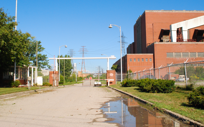
below: The old Hearn Generating Station still sits empty.  It was built in the 1950s as a coal powered generating station but it was decommissioned in 1983.   It has been used as a movie set location or as a backdrop for art installations but because of the huge costs involved (especially with cleaning up the interior to present day safety standards) this heritage site is vastly underused.

hearn generating station building, behind fence with vines growing on it

below: But now there is a development notice sign on the fence. Its present owner, Studios of America,  has applied to redevelop the 30 acre site to include condos as well as other mixed uses.

hearn generating station building, with blue and white development notice sign on the fence

hearn generating station building and driveway with gate

sign saying construction zone ends is lying on the ground surround by weeds including yarrow

a dump truck parked beside a large pile of dirt, industrial site behind it

constuction, workmen and equipment, working along the banks of the new mouth of the Don River, as seen from under the yellow bridge

dump truck on street, across intersection from a group of cyclists

a cyclist rides on Commissioners street in the port lands

on a utility pole, two signs, one with arrow pointing right for Don Valley Parkway north, and one toronto city street sign for Villiers street

villiers street scene

abrupt end of the elevated portion of the Gardiner Expressway on the north side of port lands redevelopment activity at the corner of Villiers and Munitions

dump truck on flattened pile of dirt, immediately south of end of the gardiner expressway

port lands redevelopment activity at the corner of Villiers and Munitions

a small orange and white cone covers the top of a pipe coming up from underground, a bulldozer in the background, vacant land, just dirt

red dump truck releasing its load of dirt, adding to dirt on vacant lot in port lands

bulldozer, or front end loader with load of brown soil, heads out gate of construction site towards road, CN TOwer and toronto skyline in the distance

graffiti, bright red heart on a wood pole, with other sctibbles and scrawls on it

graffiti sticker of a poodle head by dogma, beside red arrow pointing to fire extinguisher

black eyed susans, yellow flowers with black centers

below: The southwestern end of the Meadoway is at Thomson Memorial Park – it exits the park at McCowan just north of Lawrence and runs 16 km through Scarborough.  The goal is form one continuous linear urban park from downtown to the Rouge River.

large trees in autumn, lots of yellow and gold leaves on the trees and on the ground

below: The steeple of St. Andrews Bendale Church is just visible through the trees.  This church is adjacent to Thomson Memorial Park

steeple of St. Andrews Bendale shows through the trees at Thomason Memorial Park

below:   Springfield Farm House is also at McCowan and Lawrence.   It is the oldest brick house in Scarborough, built in 1840 by James Thomson.

springfield farm house near McCowan and Lawrence in Scarborough, built by Andrew Thomson

people on path

below: The Meadoway follows the Gatineau Corridor, a swath of land under hydro transmission lines.

a man pushes a child in a stroller along a path, the meadoway

below: Large sections are in the process of being “naturalized”, i.e. meadow restoration is underway.

meadoway sign

yellow headed bird on weeds

below: from left to right – New England Aster, Little Blue Stem, Common Milkweed, Switch Grass, Cup Plant, Bergamot, Big Blue Stem and False Sunflower.

close up of meadow restoration information sign showing which plants are growing there

wildflowers and other naturalized plants growing under hydro lines

meadoway in autumn, hydro lines and towers, a badminton net, path, bike path, grass,

people walking on a path through a park

a man walks along a path, through the Meadoway with autumn trees with yellow and gold colour leaves falling to the ground

rusty metal supports for transmission wires, with yellow autumn tree in the background

yellow sign warning cyclists that there is downhill section ahead

below: The Meadoway as it crosses Bellamy Road

meadoway crosses Bellamy Road

schoolyard under transmission lines

below: school access

gap in chainlink fence under hydro transmission lines, with path leading to a school

combination lock on a chainlink fence

below: Daventry Garden plots with highrises on Markham Road in the background.

autumn community garden in foreground, highrises in the background, on the meadoway
orange plastic fences around garden plots after the growing season is over, dead remains of vegetable gardens

string and wire make a fence around a community garden plot

community garden in the meadoway with back of houses in the background

There is a large gap from Scarborough Golf Club Road to Conlins (just east of Morningside). The Gatineau Corridor transmission lines cross the Highland Creek and the 401 where there is no path beneath the wires. The city has tried to make continuous bike routes and now Conlins, which runs north-south has bike lanes and crosses the 401.

bike path direction signs, route 79 to Rouge River Drive and route 26 to Gatineau Corridor

The northeast end of the Meadoway is still a bit bleak but at least the potential is there…. being November doesn’t help!

below: The Meadoway crosses diagonally through the intersection of Sheppard Ave East and Dean Park (just west of Meadowvale).

Meadoway path approaches the intersection of Sheppard Ave East and Dean Park with its hydro wires and towers

below: Looking southwest from near Sheppard and Dean Park

a woman walks on the path through the meadoway with transmission towers and hydro lines, November,

The trail ends shortly after at Meadowvale Road which is just beyond the Sheppard Transformer Station.

hydro transmission lines leading to Sheppard Transformer Station

below: Spindleberry tree (Euonymus europaeus)

spindle tree berries and autumn leaves

Development of the Meadoway is led by the Toronto and Region Conservation Authority with help from the city, Hydro One, the Weston Family Foundation, and the Toronto and Region Conservation Foundation.

For more information – Meadoway website
Some of these photos were taken in 2020.