Like many good walks, this one starts from a subway station. This time it is Wellesley station
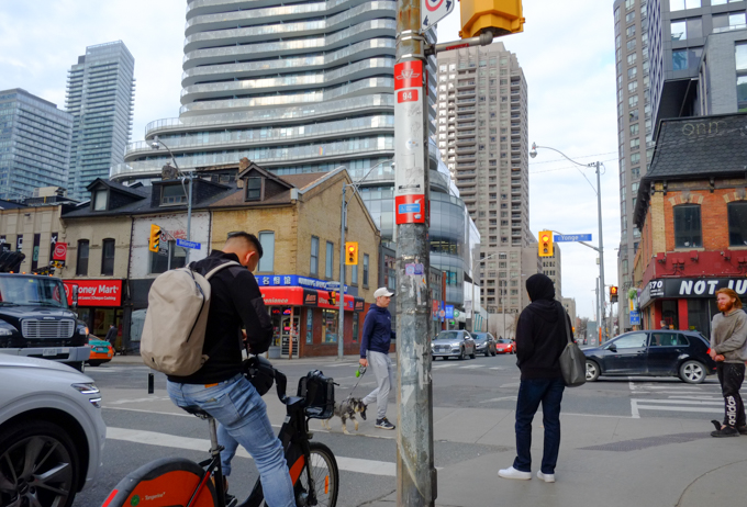
below: Standing on the northeast corner of Yonge & Wellesley

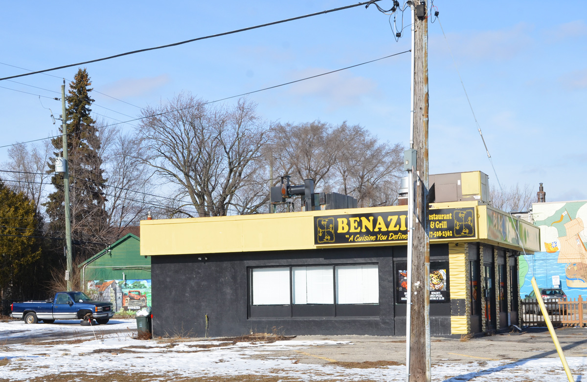
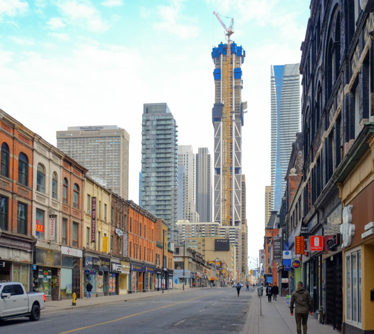
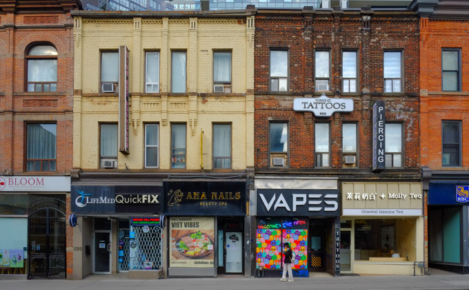
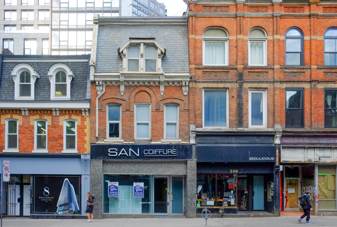
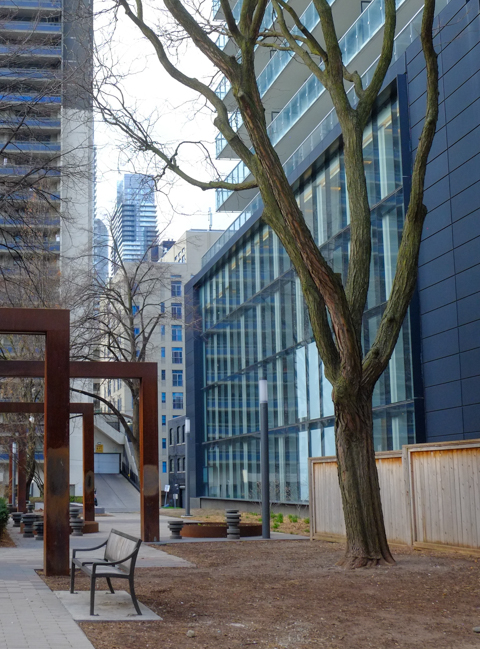
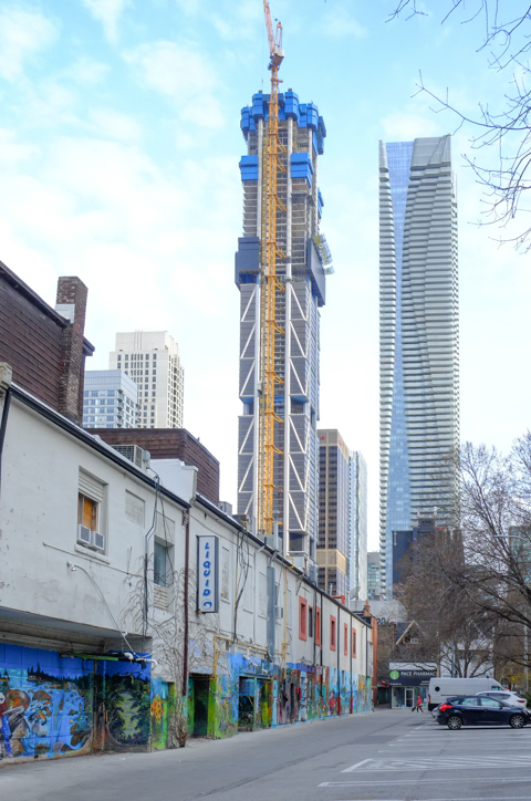
Walking north on Yonge and taking advantage of the fact that there wasn’t much traffic. Some (all?) of these buildings may have appeared in prior blog posts. At some point I should pull together all the Yonge street photos that I have taken over the years. It might be interesting to see what has changed and how much. In the meantime, here are a few scenes from the two blocks from Wellesley north to Gloucester (past Dundonald St.)
below: Looking north.
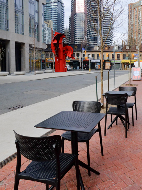
below: Large abstract red metal sculpture by Albert Paley.


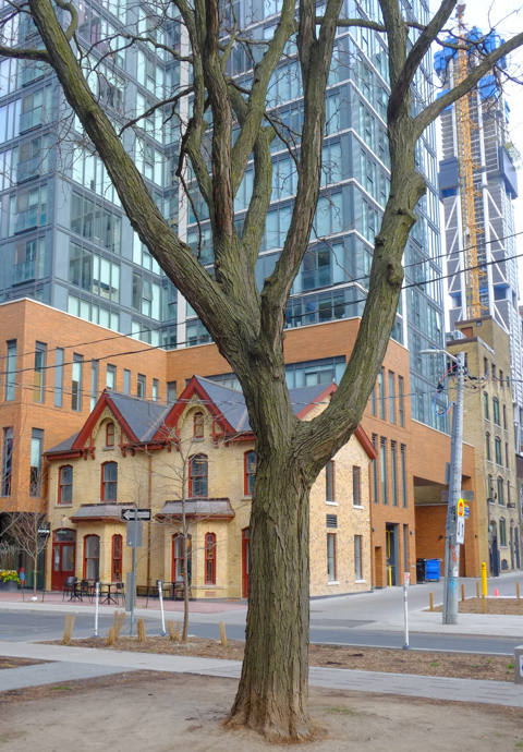
below: Yonge Street has long been a dividing line down the middle of the city. There are some east-west streets that now run uninterrupted across Yonge but many don’t. For example, Dundonald Street ends at Yonge (runs east only) but after a slight jog to the north, you can continue on St. Joseph Street.
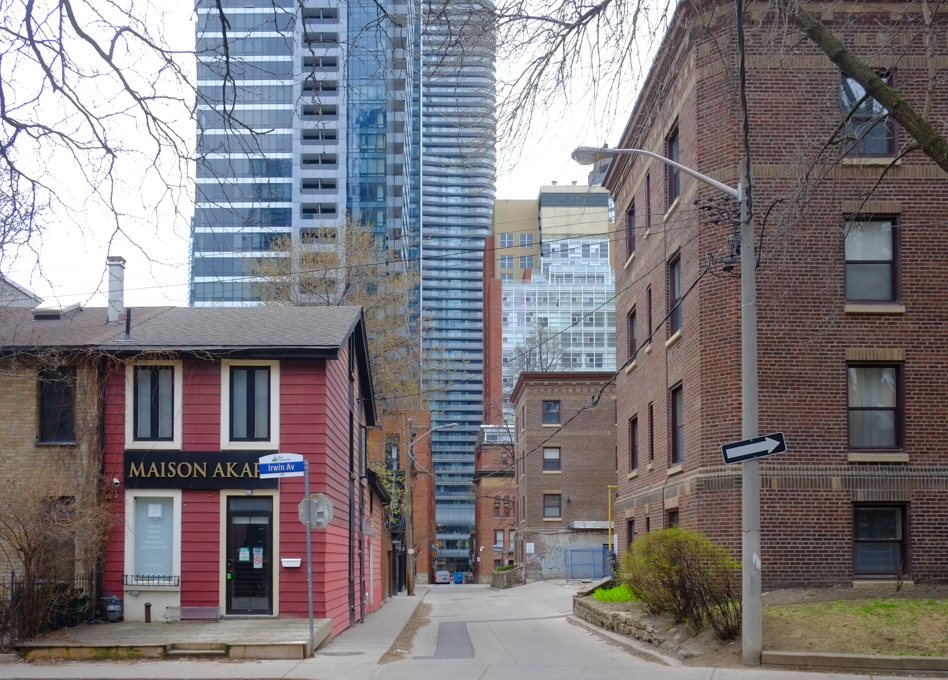
below: Like St. Joseph St. is the continuation of Dundonald, Irwin Ave is the continuation of Gloucester.


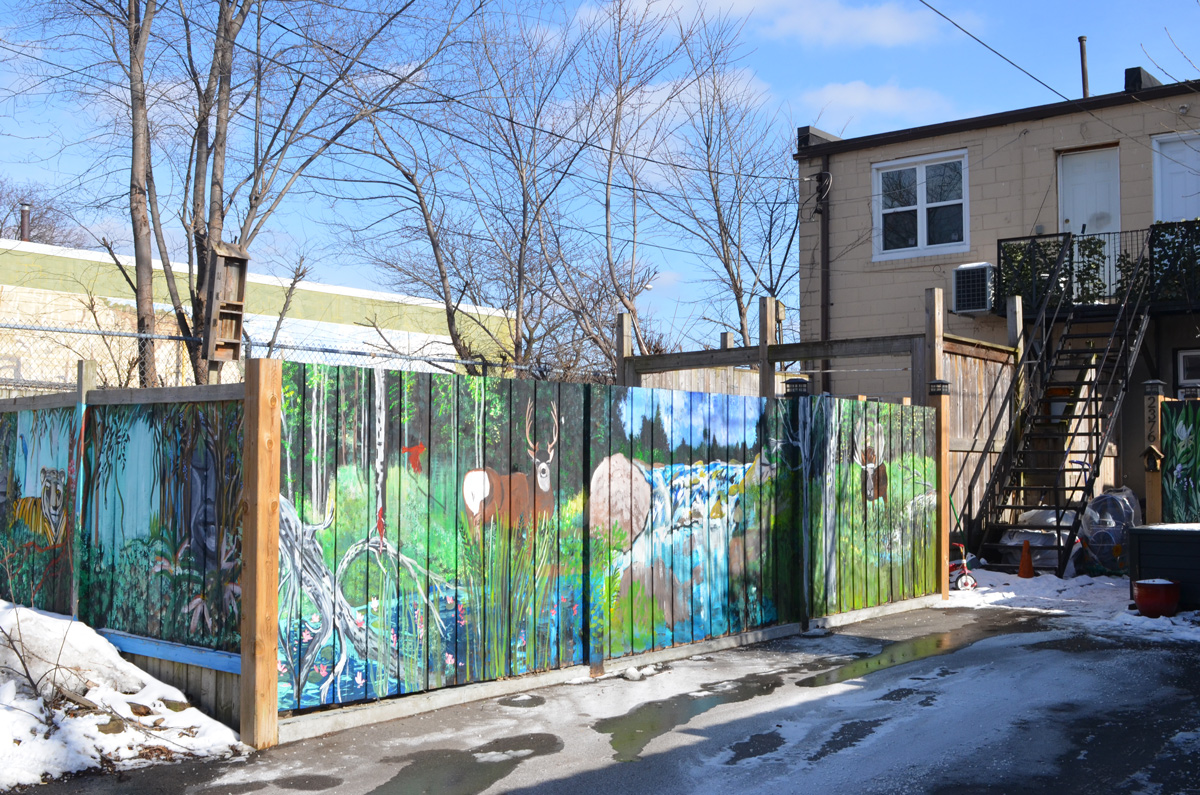
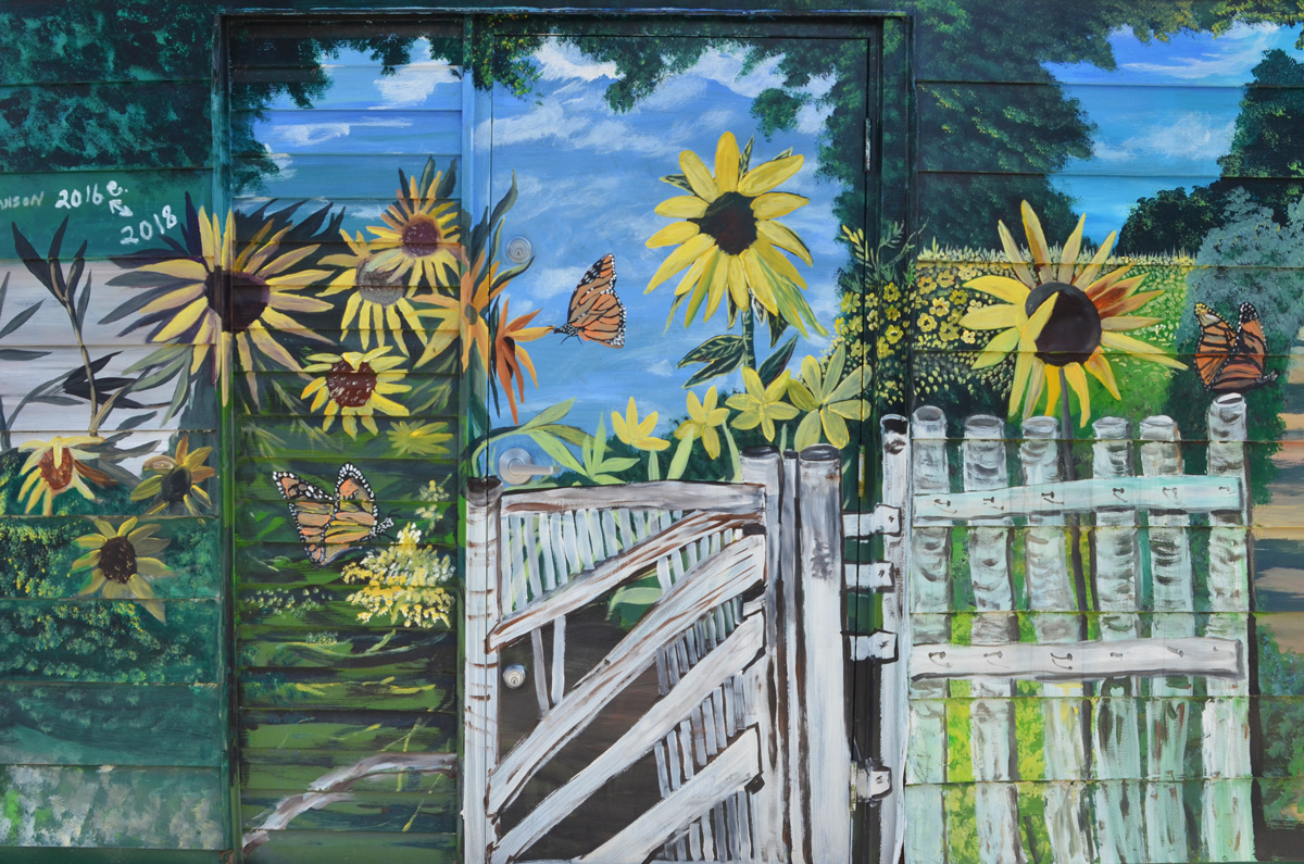
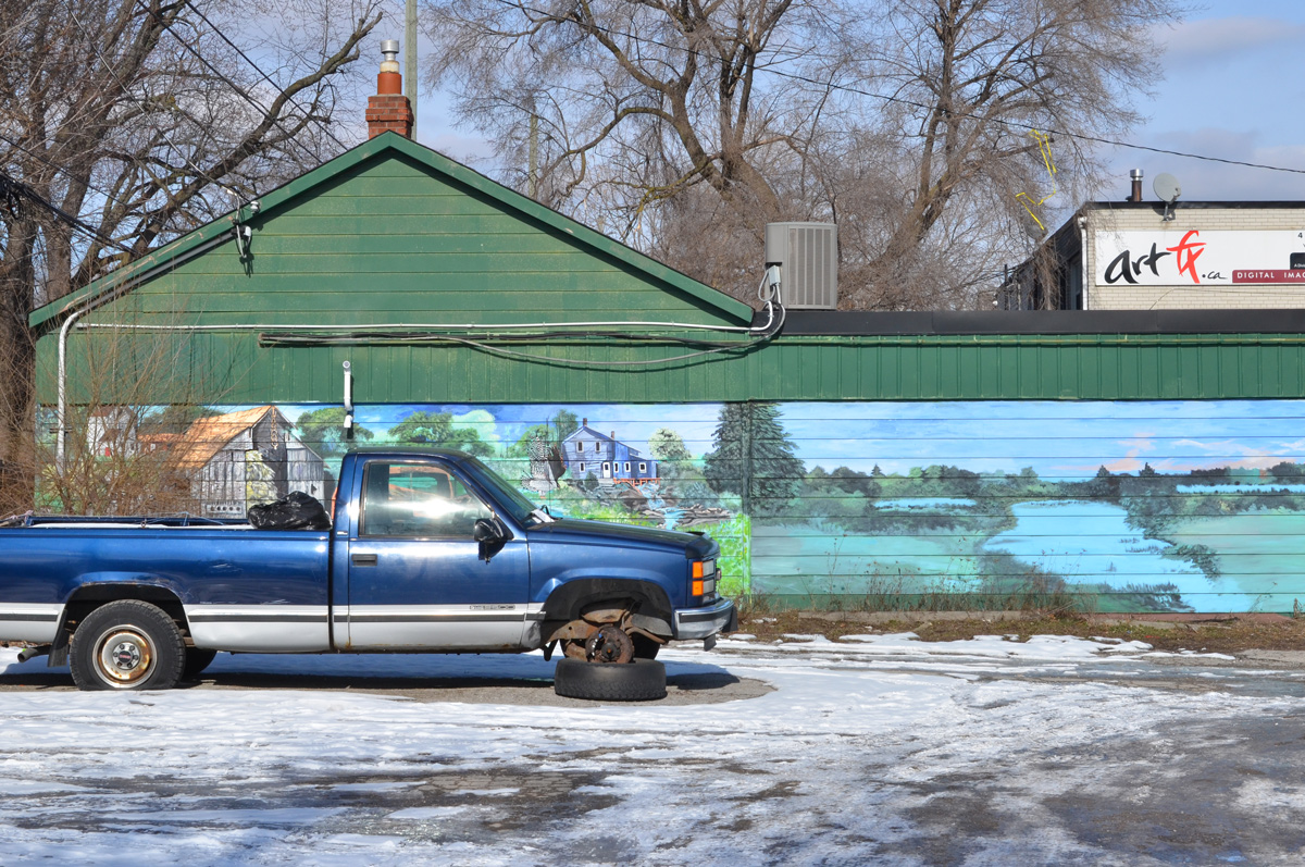
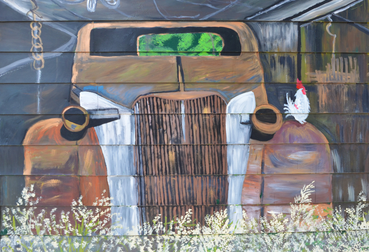
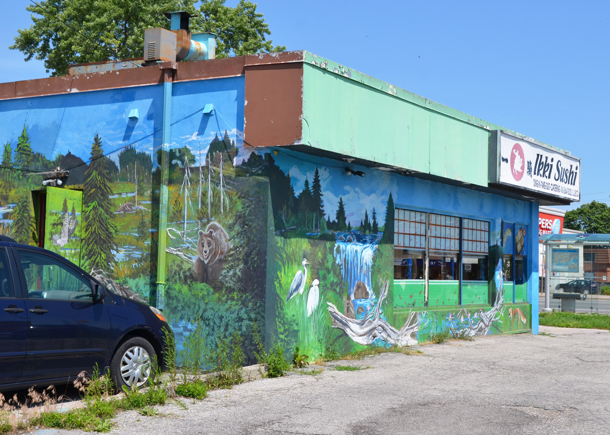
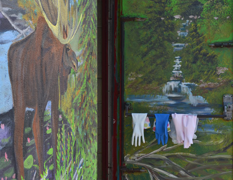
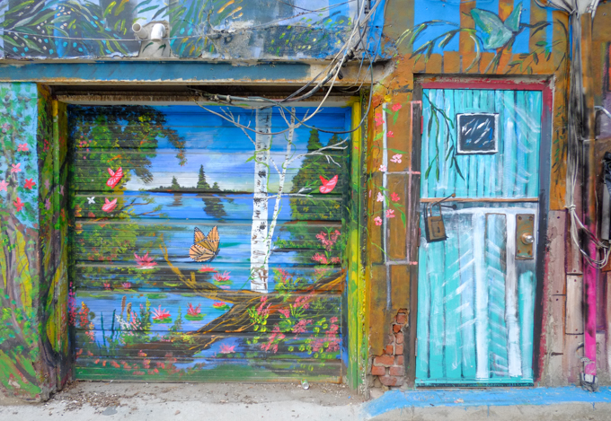
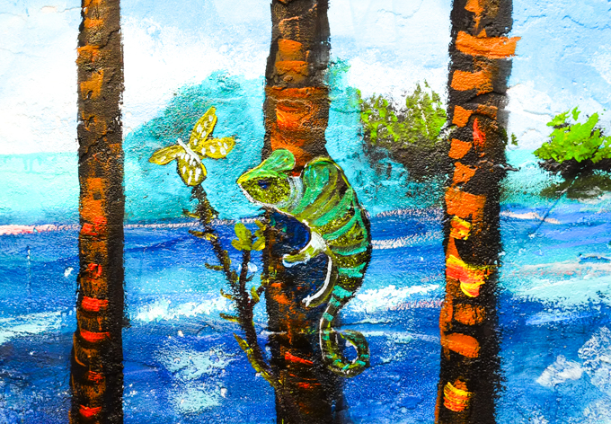
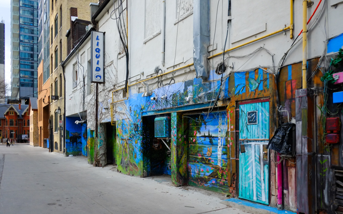
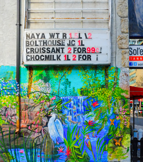
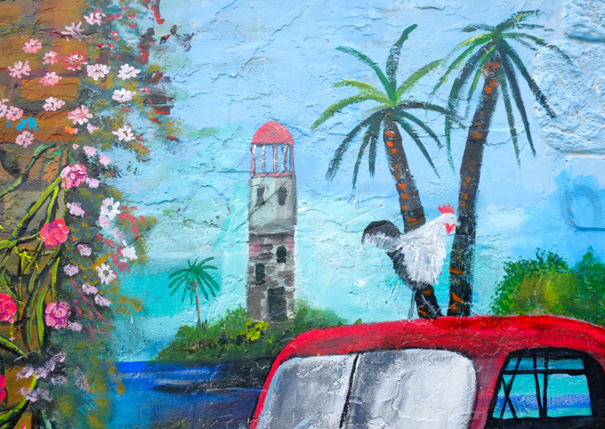
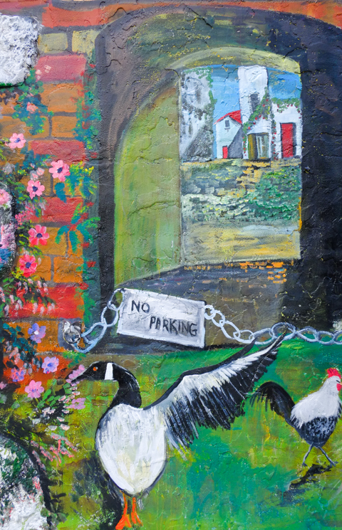
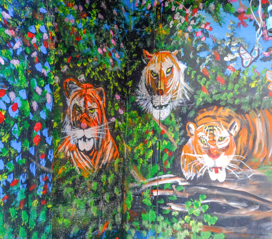
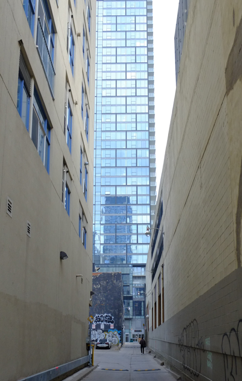
below: Shown here is one of the numerous alleys, that crisscross downtown Toronto – Cottage Lane runs north from Irwin Ave for a short distance. Murals have been painted by B.C. Johnson on both sides.

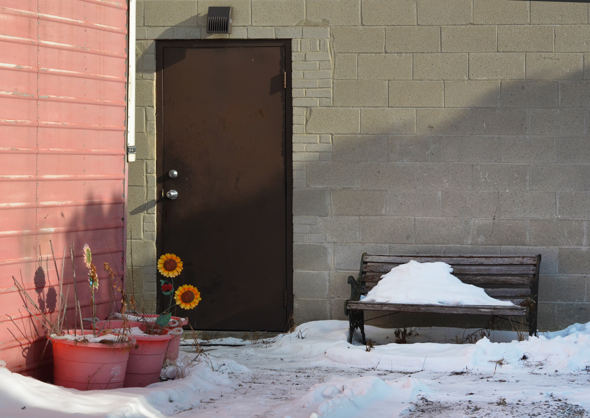
below: Nearby, St. Nicholas Street south of Irwin becomes a narrow lane.
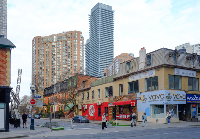
Back to Gloucester (because we can never walk in a straight line!)…..
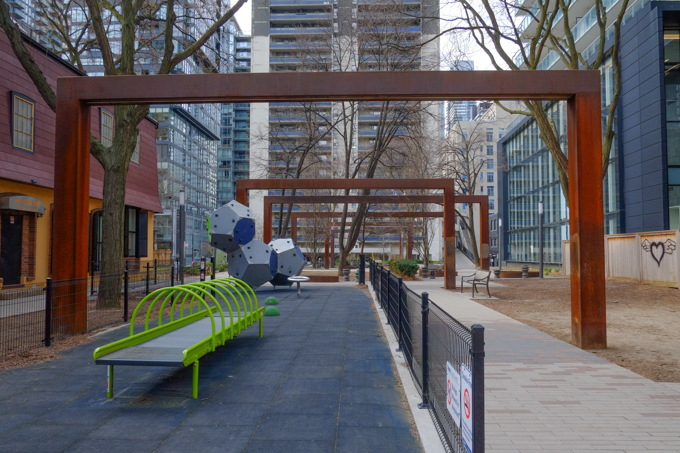
below: James Canning Gardens
below: An row of three old red brick houses with a heritage plaque outside – 7 to 11 Gloucester, built 1887. Also known as the Hugh Matheson houses. They have been incorporated into a condo development.

…”In September 1885, physician and tailor Hugh Matheson received a permit to build a row of homes on this site, located at the rear of his Yonge Street property at a cost of about $15,000 (about $500,000 in 2024). Matheson trained to become a doctor in Toronto and Connecticut but instead chose to be a men’s clothing retailer, running a successful store at 16 King Street East. His large home was just west of here at the corner of Yonge and Gloucester Streets. Matheson was planning to return to medicine when he died during the construction of the homes….. The first people to live at 7, 9, and 11 were James N. Peer, commercial merchant, George E. Challes, paper company manager, and Margaret J. Pringle, a widow… In 1950, five of the houses were demolished for construction of the subway…”
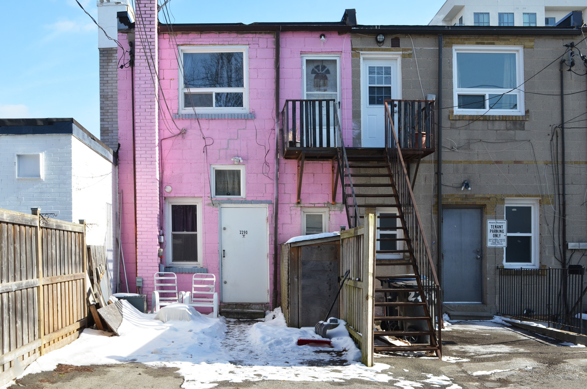
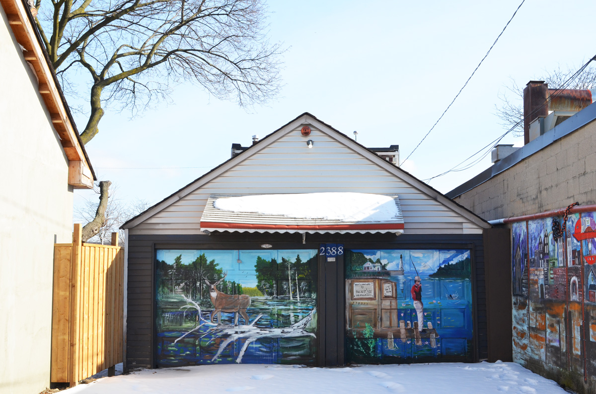
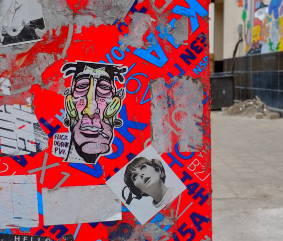
The next series of photographs are all taken in Gloucester Place, an alley that runs behind Yonge Street on the east side. Artist B.C. Johnson has also painted most of the walls and doors in the one block stretch north of Gloucester Street.
below: Looking north up Gloucester Place towards Isabella, with tall glass and steel boxes at Yonge and Bloor towering above.


below: The south end of Gloucester Lane, at Gloucester Street. The old house was preserved and there is a coffee shop on the lower level at the moment.

below: She looks rather perplexed and I am inclined to agree with her!
below: A little black catchoo heart

One last quick circle back, this time to the beginning to include one last bit –
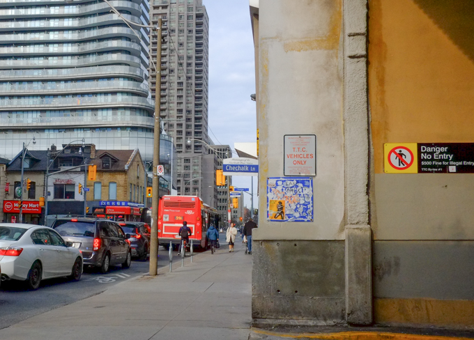
below: Chechalk Lane, from Wellesley towards Dundonald. This lane was named for Chechalk, an Anishnawbe Chief who was one of the signatories to the 1805 Toronto Purchase. He also signed the Mississauga Treaty of 1805 (aka Treaty 13). The name/word means crane or big bird.
The story of the Toronto Purchase of 1805 is described on the website of the Mississaugas of the Credit First Nations. (MCFN). I am not going to copy and paste the whole thing; instead three points:
1. Original purchase price was 10 shillings (plus other items).
2. Renegotiations began in 1998 leading to a settlement for more money in 2010.
3. The cities of Etobicoke, Toronto, North York, York and Vaughan are located within the boundaries of the Toronto Purchase Treaty lands.
If you want to read the whole story, link: MCFN Treaty 13.