Posts Tagged ‘Lower Don Trail’

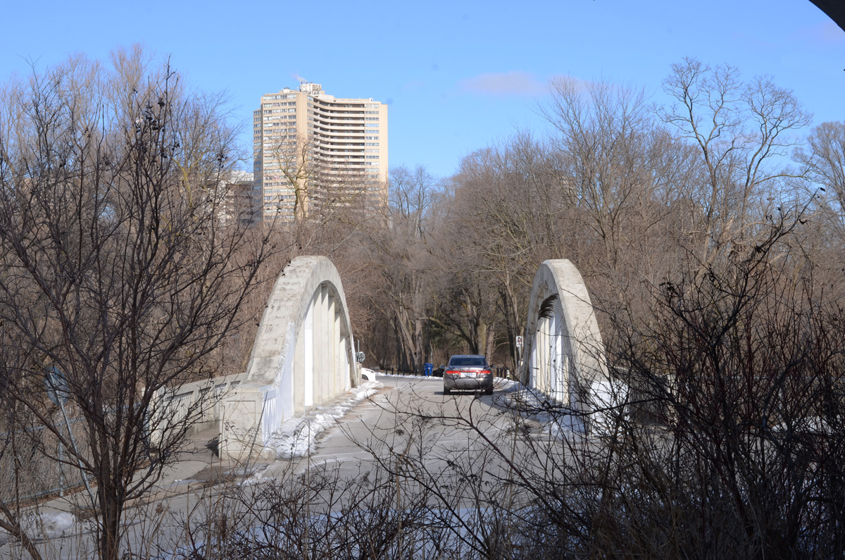
…at the Forks of the Don

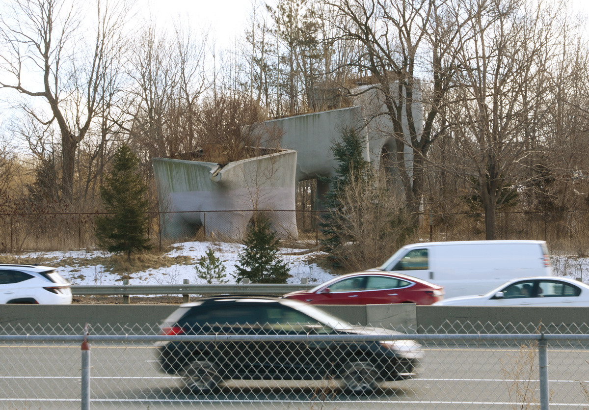
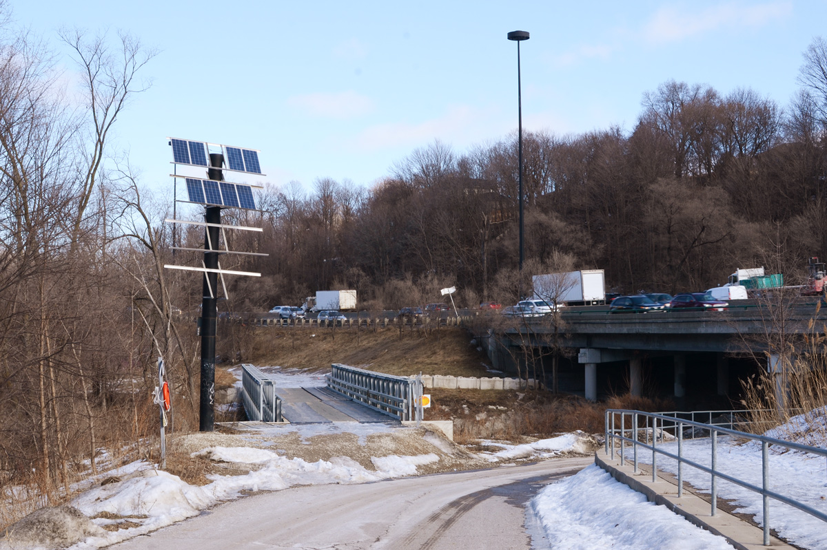
If you’ve driven on the Don Valley Parkway you’ve probably seen them, the big grey structures that look like teeth.  They are just south of Don Mills Road, on both sides of the DVP.  Over the years, the trees and shrubs have been growing around them so they don’t stand out as much as they did when they were first installed in 1998.

below: On the west side of the Parkway

an old and rusted city street sign, maximum 30 km/h begins, with elevated wetlands sculptures behind

The structures were designed by Noel Harding (1945-2016) and are constructed out of recycled polystyrene and acrylic. Financing was provided by a group from the Canadian Plastics Industry Association.

large concrete containers, planters, on a small hill with small trees, winter,

Their purpose is to help purify polluted water from the Don River watershed.

below: On the west side, the third planter stands alone, looking a bit like the back end of an elephant.

large grey planter for wetlands water purification, looks like the back end of an elephant, with four stumpy legs

large container on right with spout to concrete planter on the left, in the background, seen between the two concrete planters, an old cement bridge and a highrise apartment in the distance

below: The three concrete structures form a line on the east side of the DVP.

looking across traffic on the Don Valley Parkway to the other set of elevated wetlands sculptures

They can be accessed by following the trail that goes under the highway and follows Taylor Massey Creek.  If you follow this route, you end up walking generally east and you can walk for miles through the ravine system that runs under O’Connor Drive, through Taylor Creek Park and on to Warden Woods Park.

roadway curves to the right and passes under the Don Valley Parkway, traffic crossing over the bridge, winter time, snow on the ground, Forks of the Don where Taylor Massey Creek joins the Don River

Forks of the Don – where rivers come together, trails go in all directions, and even the railway passes through.

below: Stairs up to Don Mills Road and Gateway Blvd,

stairs leading up, to an apartment building, trees, winter

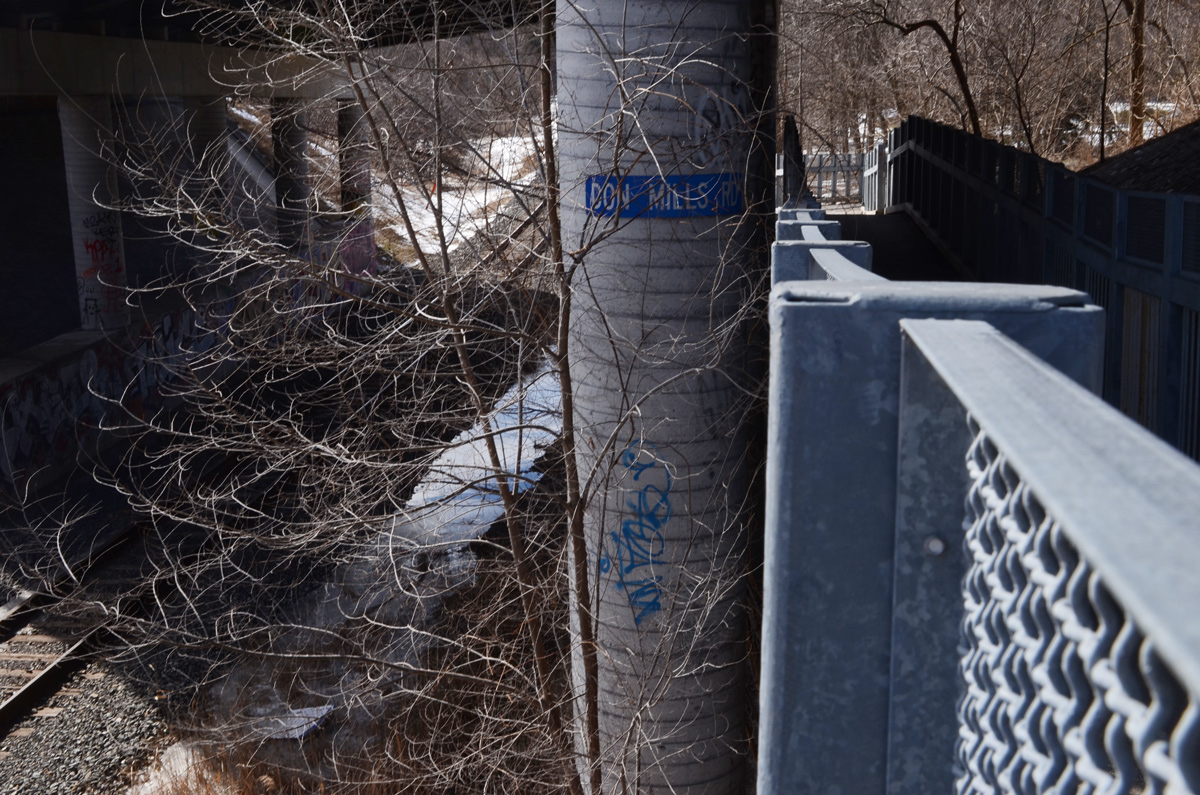
below: Or take the ramp that passes under Don Mills Road beside the tracks.

blue sign on a concrete pillar that says Don Mills Road, beside a metal ramp walkway under a bridge, Lower Don Trail

below: Looking southbound towards Union Station.

vehicle on train tracks approaching an underpass, where Don Mills Road crosses the tracks

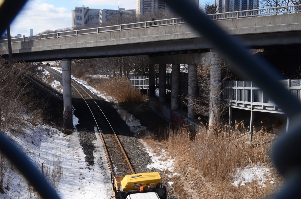
below: From here the tracks follow the Don Valley east and then north.  They pass under Don Mills Road once more, just south of York Mills Road, before heading to Oriole GO station.

looking through gaps in a chainlink fence, a railway vehicle on the tracks below, looking eastward from Don Mills Road, apartment buildings in the background

below: This part of the Lower Don Trail really is a nexus, or hub, in the ravine path system.  Trails also lead northwest to the Science Center and Wilket Creek Park.

three people walking across a snow covered park towards highrise buildings

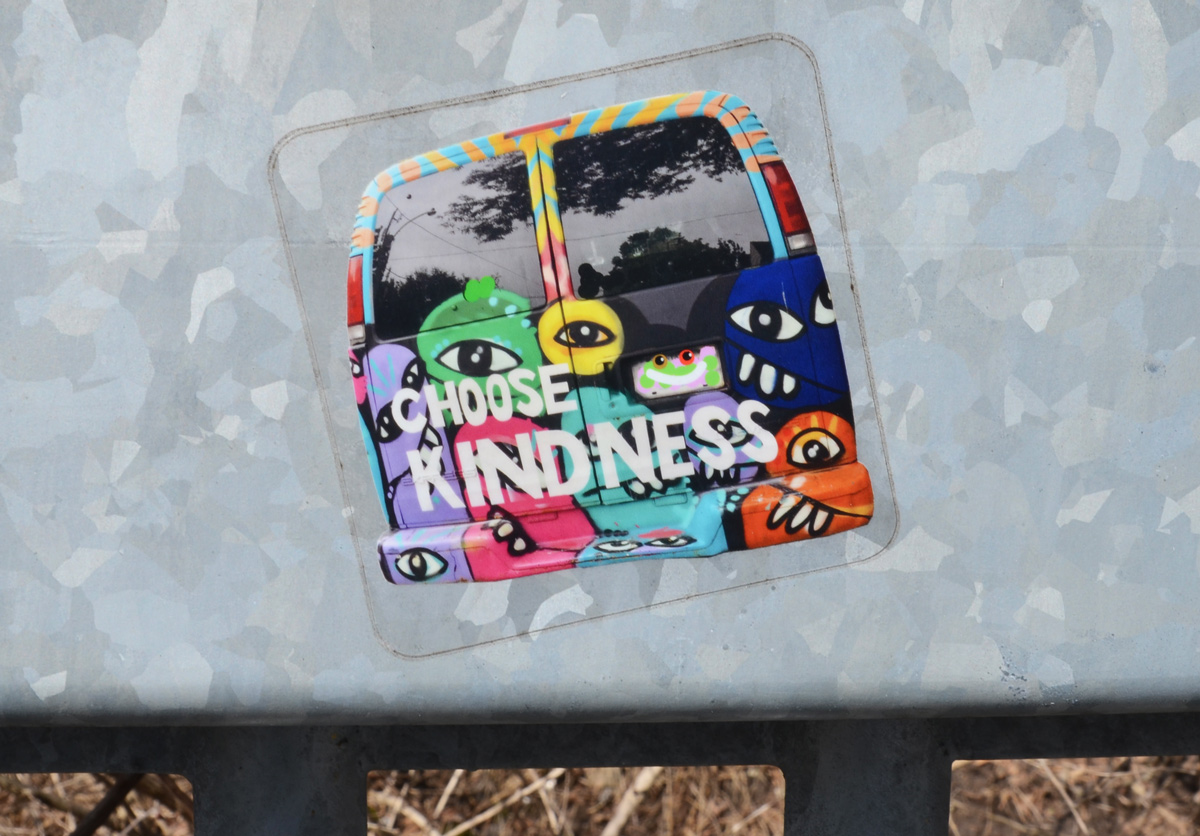
below: Choose kindness

colorful sticker on metal railing, lots of one eyed faces with big teeth on the back of a van with words choose kindness

heart painted on metal rail, graffiti, left side is red and right side is blue

a car drives over an old semi circular concrete bridge over the Don River, Gateway Blvd apartment building in the background

road bridge, concrete, above a river with a parth beside the river. Rusted metal railings on both sides of the path, green metal beams under the bridge, winter, sone snow, no leaves on the trees, Lower Don Trail, under Don Mills Road

below: “Passage”, an art installation by Labspace Studio under the Don Mills Bridge – part of the PanAm Path project.

public art under a bridge, halves of red canoes appear to come out of the wall, 8 of them in a line

below: Southward on the Lower Don Trail where you can walk all the way to Lake Ontario.

lower don trail, looking south, with DVP on one side and trees on the other, apartment building in the background.

below: If you are interested, this is a map of the PanAm Path, one of the projects from when the PanAm games were hosted here in Toronto in 2015.  The Forks of the Don is in the center by the pink X.  Something to consider exploring in the spring!?

city of Toronto map of the PanAm Path that crosses the city.

*****
plaque describing the elevated wetlands sculptures

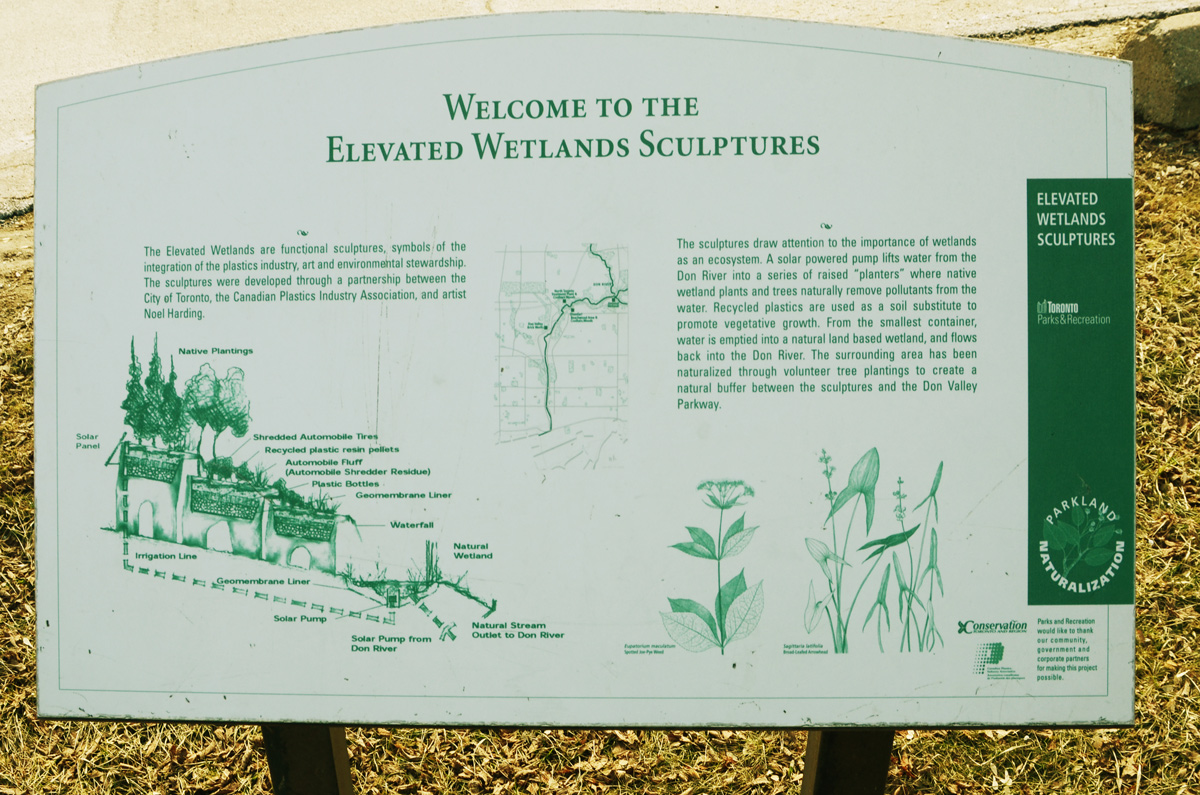
“The elevated wetlands are functional sculptures, symbols of the integration of the plastics industry, art and environmental stewardship. The sculptures were developed through a partnership between the City of Toronto, the Canadian Plastics Industry Association, and artist Noel Harding.”

“The sculptures draw attention to the importance of wetlands as an ecosystem. A solar powered pump lifts water from the Don River into a series of raised “planters” where native wetland plants and trees naturally remove pollutants from the water. Recycled plastics are used as soil substitute to promote vegetative growth. From the smallest container, water is emptied into a natural land based wetland, and flows back in to the Don River. The surrounding area has been naturalized through volunteer tree plantings to create a natural buffer between the sculptures and the Don Valley Parkway. “


We went exploring.  With a three year old.  A three year old who is starting to explore the world as only a three year old can.  One who gets joy from ‘balancing’ on the green line as we walked the Lower Don Path.

little girl in a pink jacket is wlking down a green line that is painted in the middle of a path, approaching an underpass under the railway tracks.

We were walking with a purpose – to find ‘Monsters for Beauty, Permanence and Individuality’ by Duane Linklater.  This is a collection of cast concrete gargoyles, replicas of those on Toronto buildings, that is now on the Lower Don Trail.  Last week I saw them from the subway as it passed across the Bloor Viaduct so I knew approximately where to walk.

The Lower Don Trail only has a few access points – we entered by Riverdale Park and walked north.

a hanging vine, autumn coloured, in front of the train tracks.

below: Renovations of the underside of the bridge at Bloor/Danforth have just been completed and already one piece of graffiti has appeared.

grey concrete bridge with black metal supports, part of the structure, with one graffiti face drawn in red

Just a bit farther north, and on the west side of the path we encountered the artwork.  It’s a scattered arrangement of some interesting pieces.  If left in place, some future archeologist of the future might stumble upon it and be totally mystified.

cast concrete sculpture of a seated woman with her head bent forward

Today I got myself tied up in knots as I fought with words as I tried to write this post.  How do I describe the thoughts behind the installation?  Should I talk about the meaning of gargoyles vs grotesques?

a few concrete gargoyles scattered on the ground by the Lower Don Trail, part of Duane Linklater's art installation.

But then I realize that I should just leave it be.    Be content.

a concrete block and man's head gargoyle, with moustache, folded arms holding a scroll or similar), about 2 feet square, Bloor Viaduct in the background

After all, what was more important was that the blocks turned out to be the perfect size for a three year old to stand on and roar like a lion.   We played.  And it was fun.

a young girl stands on top of a conrete block with the face of lion, she has her hands beside her mouth as she too roars like a lion

red sumach trees in the background with dead brown heads of plants growing in front